Lower Green
Settlement in Essex Uttlesford
England
Lower Green
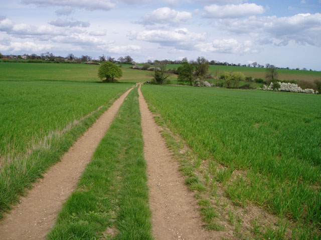
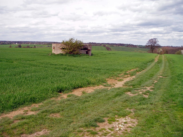
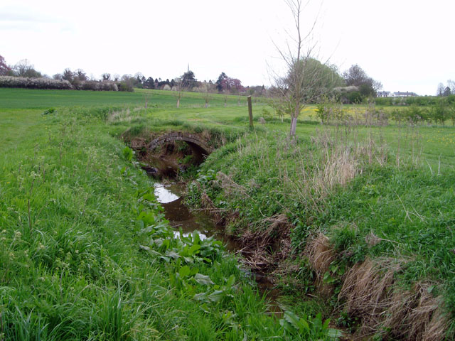
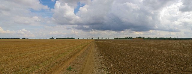
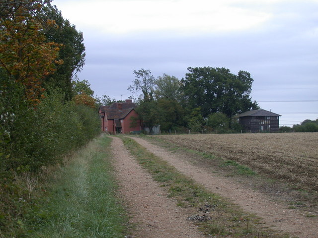
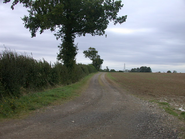
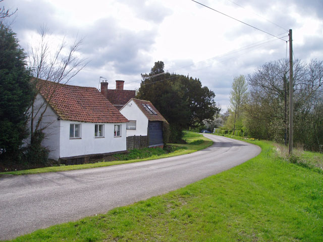
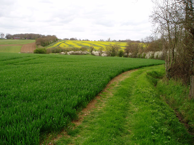
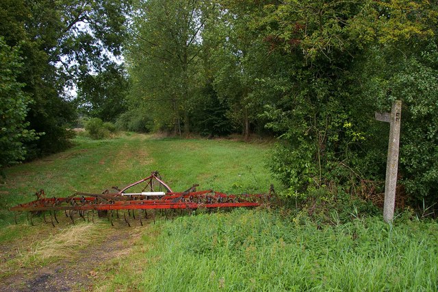
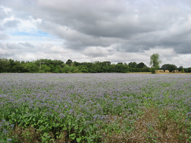
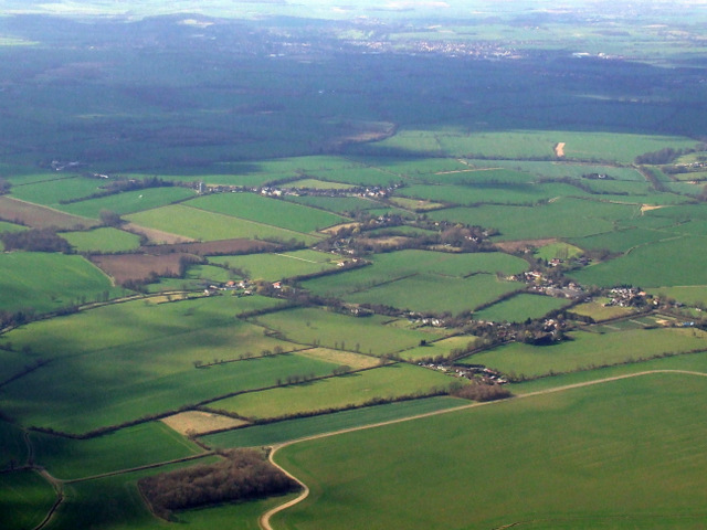
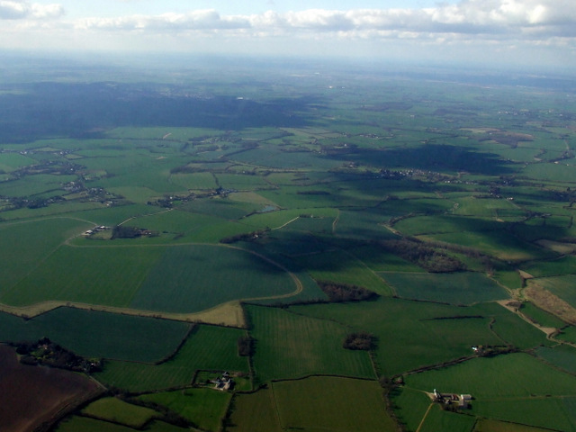
Lower Green is a small village located in the county of Essex, in the eastern part of England. It is situated approximately 2 miles south of the town of Billericay and is part of the Basildon district. The village is set in a rural landscape, surrounded by open fields and farmland, which contributes to its peaceful and idyllic atmosphere.
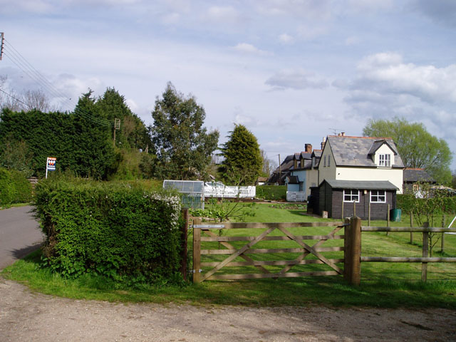
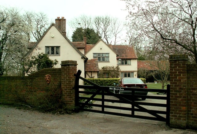
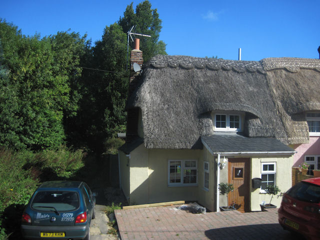
Lower Green is characterized by its small population and close-knit community. The village primarily consists of residential properties, including a mix of old cottages and more modern houses. There are no major commercial or industrial areas within the village, contributing to its calm and tranquil environment.
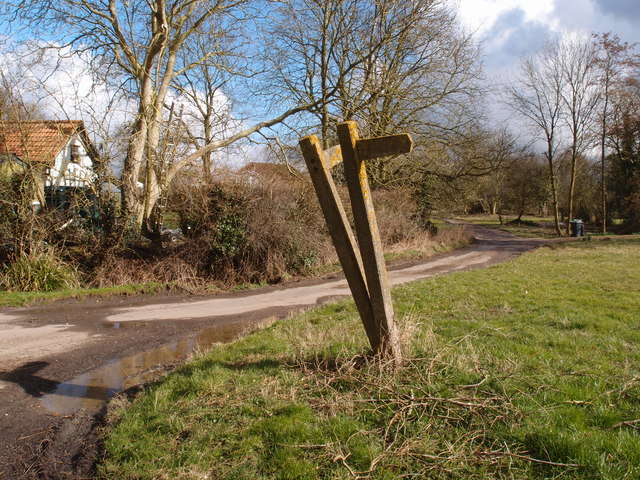
The village is well-connected to the surrounding areas, with good transport links. The nearby town of Billericay provides access to the A12, a major road that connects London to the east coast of England, making it convenient for commuters and visitors alike.
Lower Green offers a range of amenities for its residents. The village has a primary school, providing education for the local children. There are also several community facilities, such as a village hall and a local pub, which serves as a meeting point for residents.
The surrounding countryside provides ample opportunities for outdoor activities, such as walking, cycling, and horse riding. The village is also in close proximity to several nature reserves and parks, offering beautiful natural landscapes and wildlife.
In summary, Lower Green is a charming village in Essex, known for its peaceful atmosphere, close-knit community, and beautiful rural surroundings. It provides a serene and picturesque place to live, with easy access to nearby towns and a range of amenities for residents to enjoy.
If you have any feedback on the listing, please let us know in the comments section below.
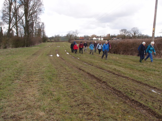
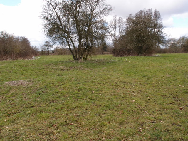
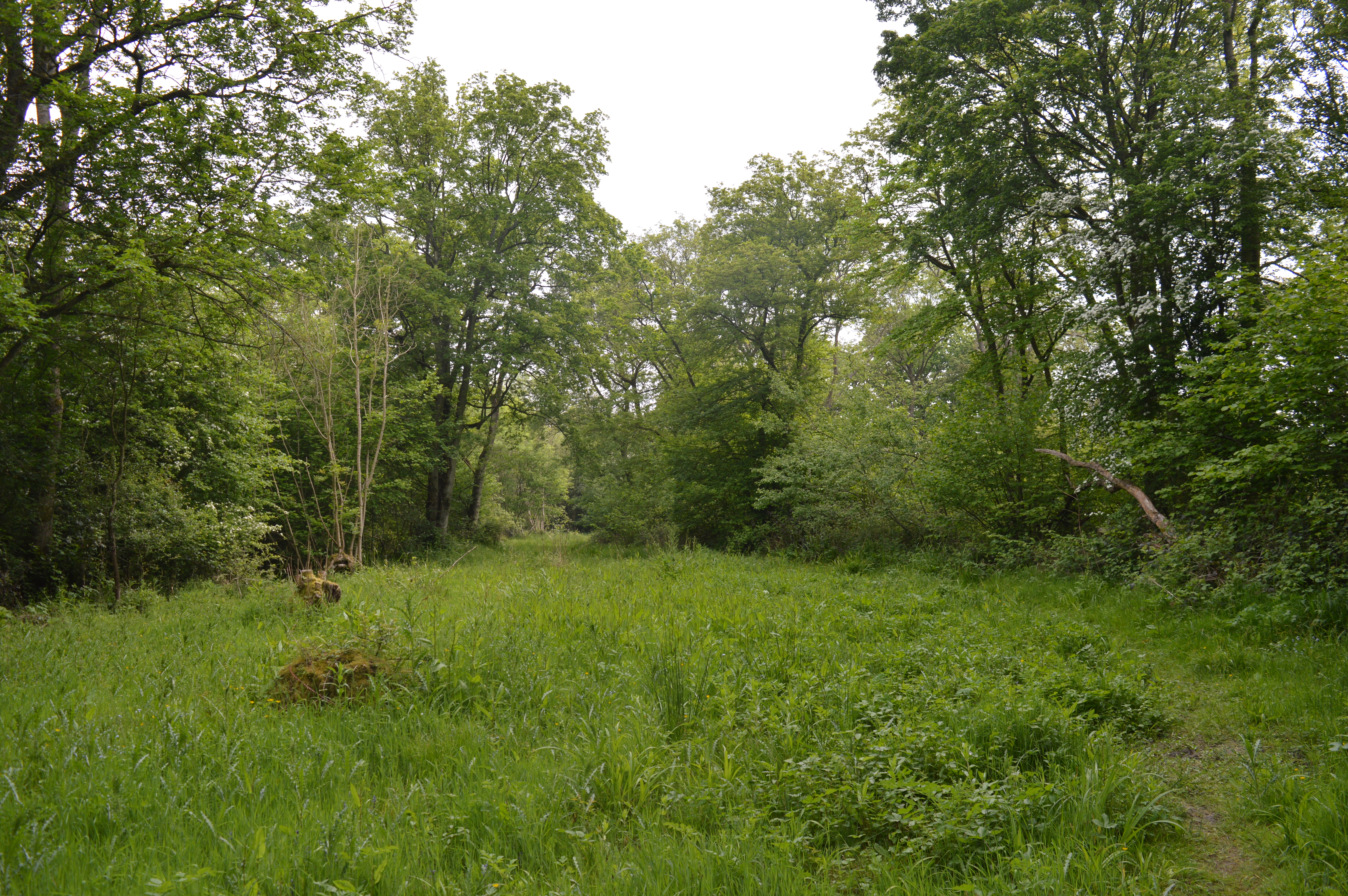
Lower Green Images
Images are sourced within 2km of 51.991386/0.33841362 or Grid Reference TL6035. Thanks to Geograph Open Source API. All images are credited.
Lower Green is located at Grid Ref: TL6035 (Lat: 51.991386, Lng: 0.33841362)
Administrative County: Essex
District: Uttlesford
Police Authority: Essex
What 3 Words
///data.essays.announced. Near Thaxted, Essex
Nearby Locations
Related Wikis

RAF Great Sampford
Royal Air Force Great Sampford or more simply RAF Great Sampford is a former Royal Air Force satellite station located 1.7 miles (2.7 km) west of Great...

Wimbish
Wimbish is a village and civil parish within Uttlesford, in Essex, England. The first recorded mention of the village was in 1042, when it was referred...

Radwinter
Radwinter is a village and a civil parish on the B1053 road, in the Uttlesford district of the county of Essex, England. The population in the 2011 census...
West Wood, Little Sampford
West Wood is a 23.6 hectares (58 acres) biological Site of Special Scientific Interest in Little Sampford, north of Thaxted in northwestern Essex. It is...

Boyton End, Essex
Boyton End is a hamlet in the Uttlesford district of Essex, England. It is located approximately one mile north-east of Thaxted on the B1051 road.

Carver Barracks
Carver Barracks is a British Army base on the former site of RAF Debden, approximately 1 mile north of the village of Debden, in Essex. The nearest town...

Hempstead, Essex
Hempstead is a village and civil parish in the Uttlesford district of Essex, England. The village is 7 miles (11 km) east from Saffron Walden and 6 miles...

Debden Green
Debden Green is a hamlet in the civil parish of Debden, in the Uttlesford district of Essex, England and 2 miles (3 km) west from the town of Thaxted....
Nearby Amenities
Located within 500m of 51.991386,0.33841362Have you been to Lower Green?
Leave your review of Lower Green below (or comments, questions and feedback).