Whitehill

Settlement in Staffordshire Newcastle-under-Lyme

England

Whitehill

Cheshire farmland near Hardings Wood Looking north-east from the canal south of Knowsley Lane Bridge, No 95. On the syline is the woodland of Flea Crows Plantation.
Cheshire farmland near Hardings Wood Credit: Roger Kidd

Whitehill is a small village located in the county of Staffordshire, England. It is situated approximately 4 miles east of the town of Stoke-on-Trent. The village is nestled within the picturesque Staffordshire Moorlands, offering stunning views of the surrounding countryside.

With a population of around 1,000 residents, Whitehill maintains a close-knit community atmosphere. The village primarily consists of residential properties, ranging from charming cottages to modern houses. The architecture showcases a mix of traditional and contemporary styles, reflecting the village's evolving history.

Whitehill is known for its rich heritage, with several historic landmarks scattered throughout the area. St. Paul's Church, a beautiful Victorian building, stands as a prominent feature in the village. The church dates back to the 19th century and serves as a place of worship for the local community.

Despite its small size, Whitehill offers a range of amenities to its residents. The village has a primary school, providing education for children in the area. A local convenience store caters to the daily needs of the villagers, while a few pubs and restaurants offer social spaces for residents to gather and unwind.

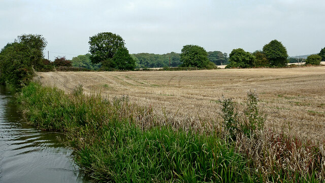
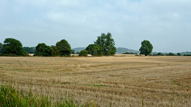
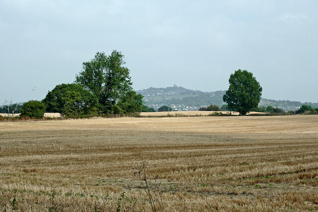
Surrounded by lush green fields and rolling hills, Whitehill provides ample opportunities for outdoor activities. The village is close to the Staffordshire Moorlands, known for its breathtaking landscapes, ideal for hiking, cycling, and exploring nature.

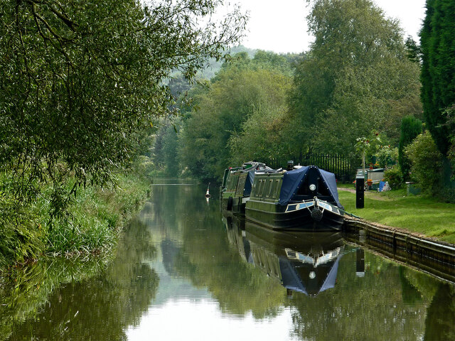
Whitehill's proximity to Stoke-on-Trent offers residents access to a wider range of amenities, including shopping centers, leisure facilities, and cultural attractions. The village is well-connected to the rest of Staffordshire and beyond, with convenient transport links, making it an appealing place to reside for both commuters and those seeking a tranquil countryside lifestyle.

If you have any feedback on the listing, please let us know in the comments section below.
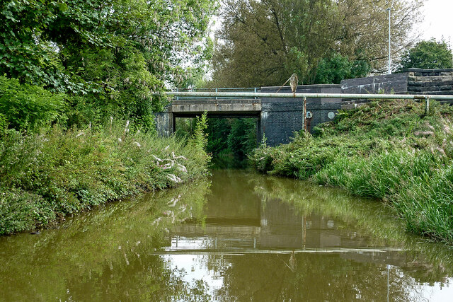
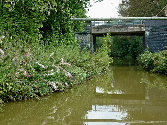
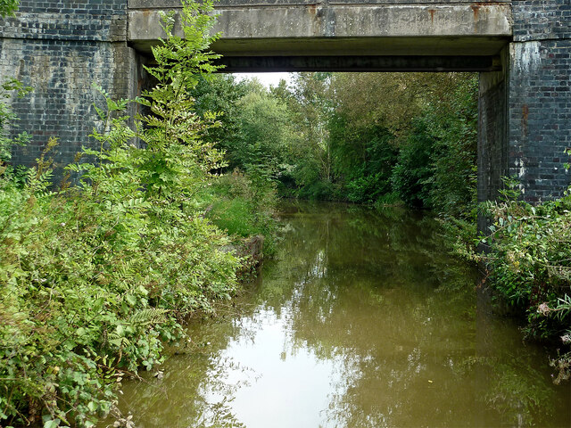
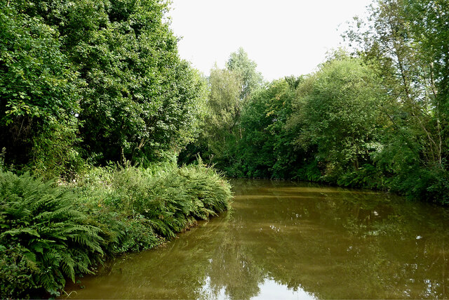
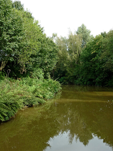
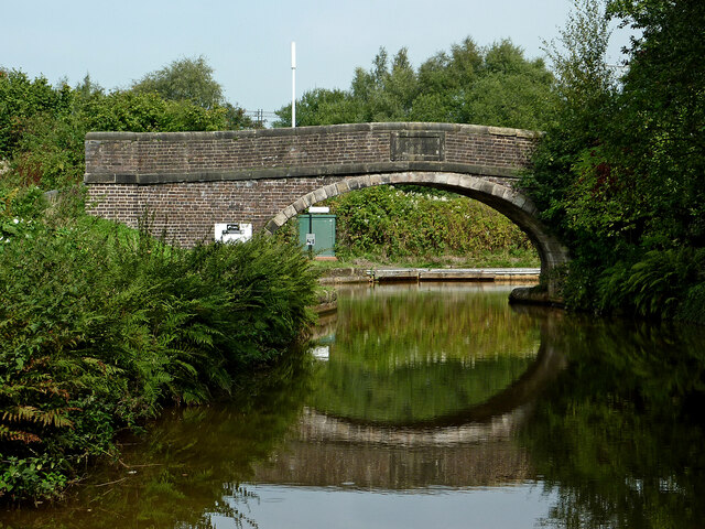
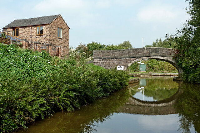
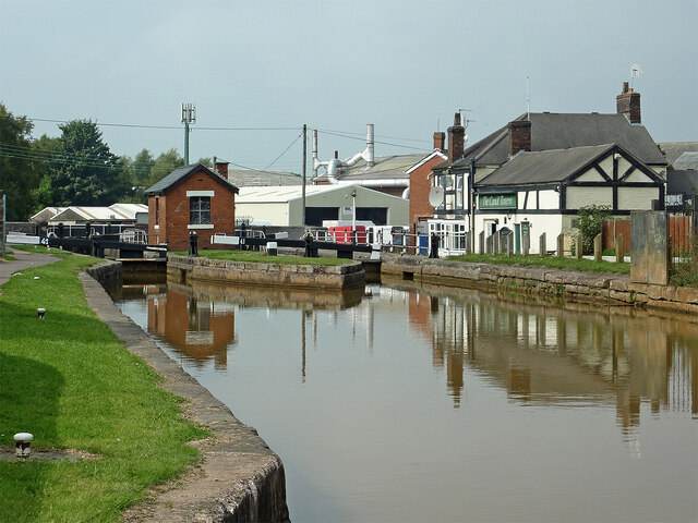
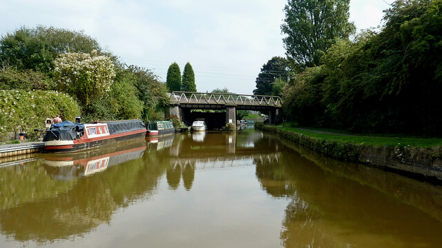
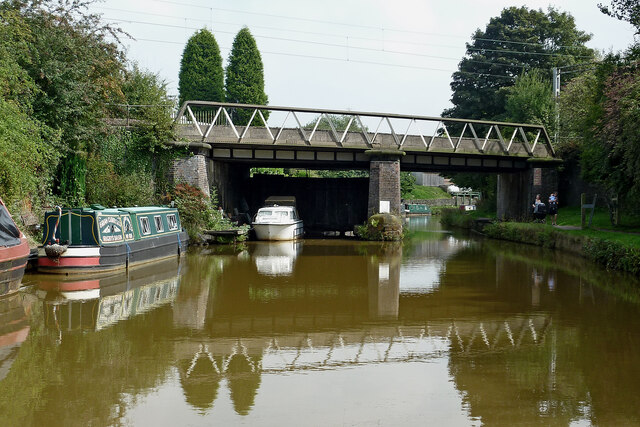
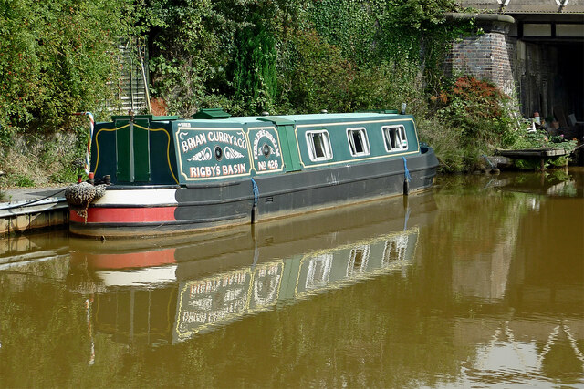
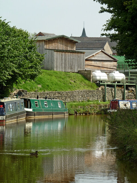
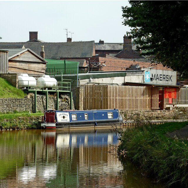
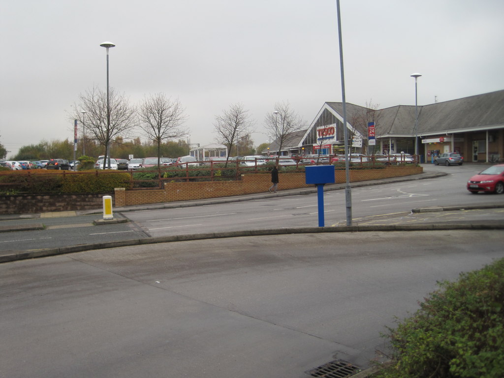
Whitehill Images

Images are sourced within 2km of 53.089173/-2.225435 or Grid Reference SJ8454. Thanks to Geograph Open Source API. All images are credited.

Cheshire farmland near Hardings Wood Looking north-east from the canal south of Knowsley Lane Bridge, No 95. On the syline is the woodland of Flea Crows Plantation.
Cheshire farmland near Hardings Wood
Looking north-east from the canal south of Knowsley Lane Bridge, No 95. On the syline is the woodland of Flea Crows Plantation.
Cheshire farmland near Hardings Wood Looking east-north-east from the canal. The line of trees is by Knowsley Lane.
Cheshire farmland near Hardings Wood
Looking east-north-east from the canal. The line of trees is by Knowsley Lane.
Cheshire farmland near Hardings Wood A telephoto assisted image, looking north-east from the canal. The closer trees are by Knowsley Lane. The Mow Kop Castle ruin folly is on the summit about two miles away.
Cheshire farmland near Hardings Wood
A telephoto assisted image, looking north-east from the canal. The closer trees are by Knowsley Lane. The Mow Kop Castle ruin folly is on the summit about two miles away.
Trent and Mersey Canal (Hall Green Branch) near Hardings Wood Looking south-east towards Hardings Wood Junction.
This canal is often considered now to be part of the Macclesfield Canal. The moorings on the right are private long-term positions.
Trent and Mersey Canal (Hall Green Branch) near Hardings Wood
Looking south-east towards Hardings Wood Junction. This canal is often considered now to be part of the Macclesfield Canal. The moorings on the right are private long-term positions.
Canal near Hardings Wood in Staffordshire Looking east-south-east towards Hardings Wood Junction, this is the Trent and Mersey Canal (Hall Green Branch). It is often now considered to be part of the Macclesfield Canal. Ahead is Kidsgrove Bridge, No 97 (Macclesfield Canal numbering), carrying Hardingswood Road.
Canal near Hardings Wood in Staffordshire
Looking east-south-east towards Hardings Wood Junction, this is the Trent and Mersey Canal (Hall Green Branch). It is often now considered to be part of the Macclesfield Canal. Ahead is Kidsgrove Bridge, No 97 (Macclesfield Canal numbering), carrying Hardingswood Road.
Trent and Mersey Canal (Hall Green Branch) near Hardings Wood Looking east-south-east towards Hardings Wood Junction, this is the Trent and Mersey Canal (Hall Green Branch). It is often now considered to be part of the Macclesfield Canal. Ahead is Kidsgrove Bridge, No 97 (Macclesfield Canal numbering), carrying Hardingswood Road.
Trent and Mersey Canal (Hall Green Branch) near Hardings Wood
Looking east-south-east towards Hardings Wood Junction, this is the Trent and Mersey Canal (Hall Green Branch). It is often now considered to be part of the Macclesfield Canal. Ahead is Kidsgrove Bridge, No 97 (Macclesfield Canal numbering), carrying Hardingswood Road.
Canal at Kidsgrove Bridge near Hardings Wood, Staffordshire Looking east-south-east towards Hardings Wood Junction, this is the Trent and Mersey Canal (Hall Green Branch). It is often now considered to be part of the Macclesfield Canal. Kidsgrove Bridge is No 97 (Macclesfield Canal numbering), carrying Hardingswood Road.
Canal at Kidsgrove Bridge near Hardings Wood, Staffordshire
Looking east-south-east towards Hardings Wood Junction, this is the Trent and Mersey Canal (Hall Green Branch). It is often now considered to be part of the Macclesfield Canal. Kidsgrove Bridge is No 97 (Macclesfield Canal numbering), carrying Hardingswood Road.
Trent and Mersey Canal (Hall Green Branch) near Hardings Wood Looking east towards Hardings Wood Junction from near Kidsgrove Bridge  (No 97), this is the Trent and Mersey Canal (Hall Green Branch). It is often now considered to be part of the Macclesfield Canal. The junction with the main line is just out of sight round the bend.
Trent and Mersey Canal (Hall Green Branch) near Hardings Wood
Looking east towards Hardings Wood Junction from near Kidsgrove Bridge (No 97), this is the Trent and Mersey Canal (Hall Green Branch). It is often now considered to be part of the Macclesfield Canal. The junction with the main line is just out of sight round the bend.
Trent and Mersey Canal (Hall Green Branch) near Hardings Wood Looking north-east towards Hardings Wood Junction from near Kidsgrove Bridge  (No 97), this is the Trent and Mersey Canal (Hall Green Branch). It is often now considered to be part of the Macclesfield Canal. The junction with the main line is just out of sight round the bend.
Trent and Mersey Canal (Hall Green Branch) near Hardings Wood
Looking north-east towards Hardings Wood Junction from near Kidsgrove Bridge (No 97), this is the Trent and Mersey Canal (Hall Green Branch). It is often now considered to be part of the Macclesfield Canal. The junction with the main line is just out of sight round the bend.
Hardings Wood Junction near Kidsgrove in Staffordshire This is where the Trent and Mersey Canal (Hall Green Branch) joins the Trent and Mersey Canal main line below Lock No 42. The Hall Green Branch is usually considered to be a part of the Macclesfield Canal now. Consequently the towpath bridge is No 98, using the Macclesfield Canal numbering sequence.
Hardings Wood Junction near Kidsgrove in Staffordshire
This is where the Trent and Mersey Canal (Hall Green Branch) joins the Trent and Mersey Canal main line below Lock No 42. The Hall Green Branch is usually considered to be a part of the Macclesfield Canal now. Consequently the towpath bridge is No 98, using the Macclesfield Canal numbering sequence.
Trent and Mersey Canal near Hardings Wood, Staffordshire This is the view by Hardings Wood Junction, looking towards paired locks No 41, top of the Red Bull flight of six.
Trent and Mersey Canal near Hardings Wood, Staffordshire
This is the view by Hardings Wood Junction, looking towards paired locks No 41, top of the Red Bull flight of six.
Trent and Mersey Canal west of Kidsgrove, Staffordshire Looking east-south-east from Hardings Wood Junction, towards Kidsgrove and Stoke-on-Trent. The bridge carries the railway between Stoke-on-Trent and Manchester.
Trent and Mersey Canal west of Kidsgrove, Staffordshire
Looking east-south-east from Hardings Wood Junction, towards Kidsgrove and Stoke-on-Trent. The bridge carries the railway between Stoke-on-Trent and Manchester.
Canal at Hardings Wood Junction in Staffordshire Looking west-north-west at the Trent and Mersey Canal junction with its Hall Green Branch (leading to the Macclesfield Canal). Ahead are the paired locks No 41, top of the Red Bull flight of six.
Canal at Hardings Wood Junction in Staffordshire
Looking west-north-west at the Trent and Mersey Canal junction with its Hall Green Branch (leading to the Macclesfield Canal). Ahead are the paired locks No 41, top of the Red Bull flight of six.
Canal near Hardings Wood Junction in Staffordshire Looking east-south-east from Hardings Wood Junction, towards Kidsgrove and Stoke-on-Trent. The bridge carries the railway between Stoke-on-Trent and Manchester.
Canal near Hardings Wood Junction in Staffordshire
Looking east-south-east from Hardings Wood Junction, towards Kidsgrove and Stoke-on-Trent. The bridge carries the railway between Stoke-on-Trent and Manchester.
Moored narrowboat near Hardings Wood Junction This is by the Trent and Mersey Canal near Hardings Wood Junction.
The 43ft (13·1 metres) cruiser dates from 1994, partly fitted out by David Piper near Red Bull. I haven't found out where Rigby's Basin is yet, but Brian Curry was also local.

<a href="https://www.geograph.org.uk/photo/6926154">SJ8354 : Trent and Mersey Canal west of Kidsgrove, Staffordshire</a>
Moored narrowboat near Hardings Wood Junction
This is by the Trent and Mersey Canal near Hardings Wood Junction. The 43ft (13·1 metres) cruiser dates from 1994, partly fitted out by David Piper near Red Bull. I haven't found out where Rigby's Basin is yet, but Brian Curry was also local. SJ8354 : Trent and Mersey Canal west of Kidsgrove, Staffordshire
Canal near Kidsgrove in Staffordshire The Trent and Mersey Canal is seen here north of Kidsgrove railway station.
Canal near Kidsgrove in Staffordshire
The Trent and Mersey Canal is seen here north of Kidsgrove railway station.
Canal near Kidsgrove in Staffordshire The Trent and Mersey Canal is seen here north of Kidsgrove railway station. The small industry and housing are by Liverpool Road.
Canal near Kidsgrove in Staffordshire
The Trent and Mersey Canal is seen here north of Kidsgrove railway station. The small industry and housing are by Liverpool Road.
Show me another place!

Whitehill is located at Grid Ref: SJ8454 (Lat: 53.089173, Lng: -2.225435)

Administrative County: Staffordshire

District: Newcastle-under-Lyme

Police Authority: Staffordshire

What 3 Words

///bills.case.family. Near Kidsgrove, Staffordshire

Nearby Locations

Whitehill Dove Bank

Related Wikis

Whitehill, Staffordshire

Whitehill, Staffordshire is a village North-East of Kidsgrove. Often, it is called a part of Kidsgrove, however the boundaries for the town and the village...

Kidsgrove Secondary School

Kidsgrove Secondary School is a coeducational secondary school located in Kidsgrove in the English county of Staffordshire.It was originally known as Maryhill...

Market Street Halt railway station

Market Street Halt was a halt that served the town of Kidsgrove, Staffordshire, England. It was opened in 1909 and located on the Potteries Loop Line...

Kidsgrove Town Hall

Kidsgrove Town Hall is a municipal building in Liverpool Road in Kidsgrove, Staffordshire, England. The building, which is the meeting place of Kidsgrove...

Kidsgrove Urban District

Kidsgrove Urban District was an urban district in the county of Staffordshire. It was formed in 1894 with the civil parishes of Hardings Wood, Kidsgrove...

Kidsgrove Liverpool Road railway station

Kidsgrove Liverpool Road railway station was the northernmost station on the Potteries Loop Line and served the town of Kidsgrove, Staffordshire. It was...

Newchapel, Staffordshire

Newchapel is a village and former civil parish, now in the parish of Kidsgrove, in the Newcastle-under-Lyme district, in the county of Staffordshire, England...

Kidsgrove railway station

Kidsgrove railway station serves the town of Kidsgrove in Staffordshire, England. The station is 7.5 miles (12.07 km) north of Stoke-on-Trent. The station...

Nearby Amenities

Located within 500m of 53.089173,-2.225435
Barrier: cycle_barrier
Lat/Long: 53.0860234/-2.2208444
Bus Stop
White Hill, Health Centre
Bus: yes
Naptan AtcoCode: 3800C509200
Naptan Bearing: NE
Naptan CommonName: Health Centre
Naptan Indicator: Adj
Naptan Landmark: Kidsgrove Health Centre
Naptan PlusbusZoneRef: STOKEOT
Naptan Street: Mount Rd
Naptan Verified: no
Public Transport: platform
Source: naptan_import
Lat/Long: 53.0899938/-2.2226602
Bus Stop
Whitehill Road
Bus: yes
Naptan AtcoCode: 3800C509301
Naptan Bearing: N
Naptan CommonName: Whitehill Road
Naptan Indicator: Adj
Naptan Landmark: Whitehill Road
Naptan PlusbusZoneRef: STOKEOT
Naptan Street: Newchapel Road
Naptan Verified: no
Public Transport: platform
Source: naptan_import
Lat/Long: 53.091855/-2.2199464
Bus Stop
Oddfellows Arms PH
Bus: yes
Naptan AtcoCode: 3800C519001
Naptan Bearing: SE
Naptan CommonName: Oddfellows Arms PH
Naptan Indicator: Adj
Naptan Landmark: Oddfellows Arms PH
Naptan PlusbusZoneRef: STOKEOT
Naptan Street: Whitehill Road
Naptan Verified: no
Public Transport: platform
Source: naptan_import
Lat/Long: 53.0923427/-2.2233334
Bus Stop
Whitehill Road
Bus: yes
Naptan AtcoCode: 3800C594801
Naptan Bearing: NW
Naptan CommonName: Whitehill Road
Naptan Indicator: Adj
Naptan Landmark: Whitehill Road
Naptan PlusbusZoneRef: STOKEOT
Naptan Street: Galleys Bank
Naptan Verified: no
Public Transport: platform
Source: naptan_import
Lat/Long: 53.0920366/-2.2283193
Bus Stop
Hayhead Close
Bus: yes
Naptan AtcoCode: 3800C594901
Naptan Bearing: SW
Naptan CommonName: Hayhead Close
Naptan Indicator: Adj
Naptan Landmark: Hayhead Close
Naptan PlusbusZoneRef: STOKEOT
Naptan Street: Whitehill Road
Naptan Verified: no
Public Transport: platform
Source: naptan_import
Lat/Long: 53.0913631/-2.2279425
Bus Stop
Tamar Road
Bus: yes
Naptan AtcoCode: 3800C594902
Naptan Bearing: NE
Naptan CommonName: Tamar Road
Naptan Indicator: Opp
Naptan Landmark: Tamar Road
Naptan PlusbusZoneRef: STOKEOT
Naptan Street: Whitehill Road
Naptan Verified: no
Public Transport: platform
Source: naptan_import
Lat/Long: 53.0904781/-2.2300432
Pharmacy
Co-Op Health Care
Lat/Long: 53.0902676/-2.2224672
Post Box
Lat/Long: 53.0917418/-2.227985
Post Box
Lat/Long: 53.090586/-2.220759
Parking
Lat/Long: 53.089195/-2.2244325
Whitehill
Place: locality
Wikidata: Q7996053
Lat/Long: 53.0923146/-2.2275017
Traffic Calming: hump
Lat/Long: 53.0853535/-2.2279963
Traffic Calming: hump
Lat/Long: 53.0858311/-2.2246394
Traffic Calming: cushion
Lat/Long: 53.0856495/-2.2262713
Natural: peak
Lat/Long: 53.0912131/-2.2285087
Bus Stop
White Hill, Health Centre
Bus: yes
Naptan AtcoCode: 3800C509201
Naptan Bearing: SW
Naptan CommonName: Health Centre
Naptan Indicator: opp
Naptan Landmark: Health Centre
Naptan LocalityName: White Hill
Naptan NaptanCode: stadtamp
Naptan PlusbusZoneRef: STOKEOT
Naptan ShortCommonName: Health Ctr
Naptan Street: Mount Road
Public Transport: platform
Source: naptan_import
Lat/Long: 53.089927/-2.222004
The data included in this document is from www.openstreetmap.org. The data is made available under ODbL.

Have you been to Whitehill?

Leave your review of Whitehill below (or comments, questions and feedback).