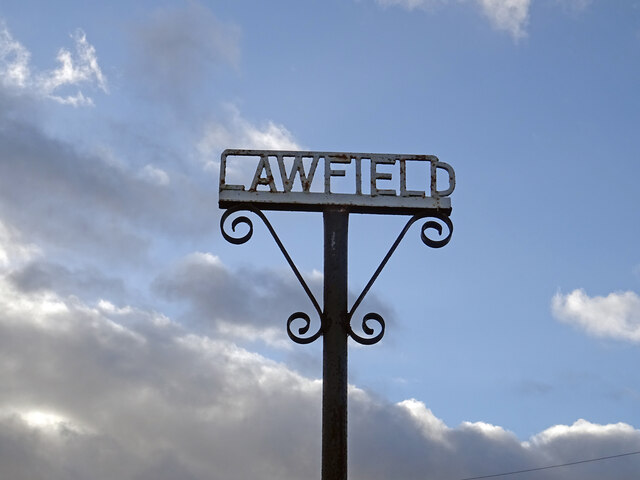
Whitehill

Settlement in Midlothian

Scotland

Whitehill

Lawfield Farm Sign Sign on public road for Lawfield Farm and Steading above Mayfield in Midlothian.
Lawfield Farm Sign Credit: Adam Ward

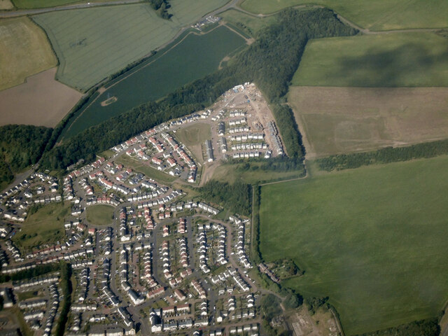
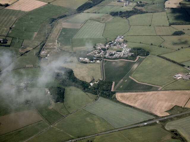
Whitehill is a small village located in the Midlothian region of Scotland. Situated about 8 miles southeast of Edinburgh, it is nestled amidst picturesque countryside and enjoys a peaceful and scenic setting. The village is part of the wider community council area of Bonnyrigg and Lasswade.

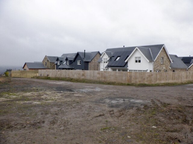
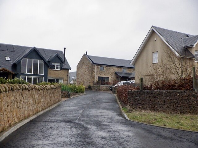
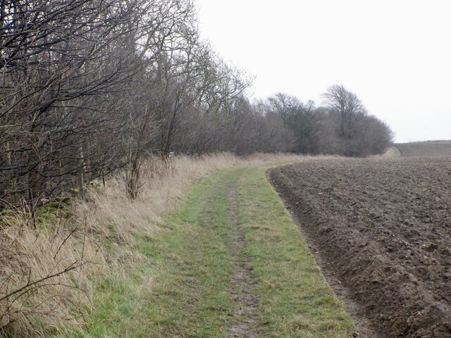
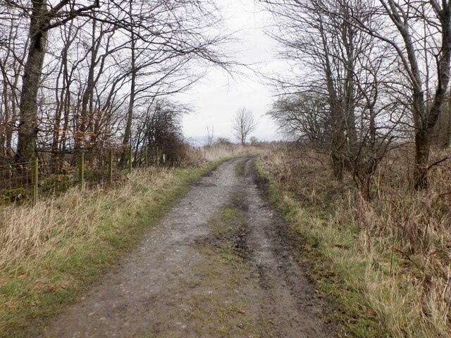
Whitehill primarily consists of residential properties, offering a mix of traditional cottages and modern houses. The village has a close-knit community feel, with a population of around 2,000 people. Local amenities include a convenience store, a post office, and a community center. For recreational activities, Whitehill boasts several green spaces and parks, providing opportunities for outdoor pursuits and leisurely walks.

Education is well-catered for in Whitehill, with a primary school located within the village. Secondary schools are also easily accessible in nearby towns, ensuring a comprehensive education for the residents.

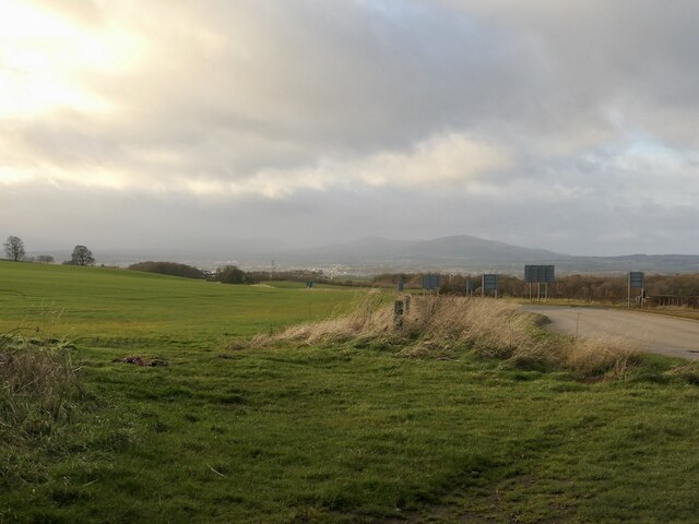
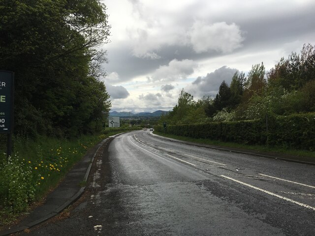
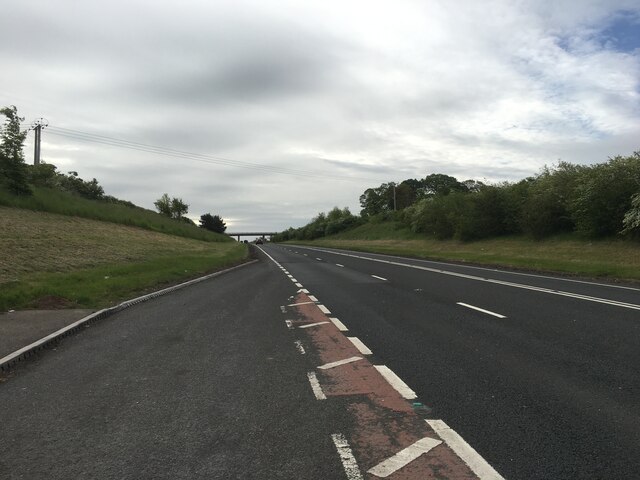
Transport links in Whitehill are excellent, with regular bus services connecting the village to surrounding towns and cities. Additionally, the nearby A7 road provides easy access to Edinburgh and the wider region. The village's convenient location allows residents to enjoy the tranquility of rural living while still being within close proximity to urban amenities.

Overall, Whitehill offers a charming and peaceful place to live, with its idyllic countryside setting, strong sense of community, and convenient location.

If you have any feedback on the listing, please let us know in the comments section below.

Whitehill Images

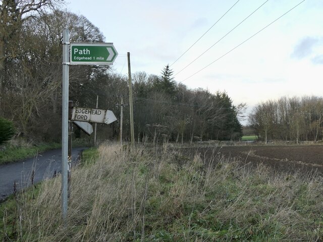
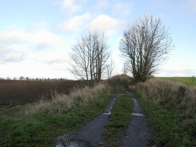
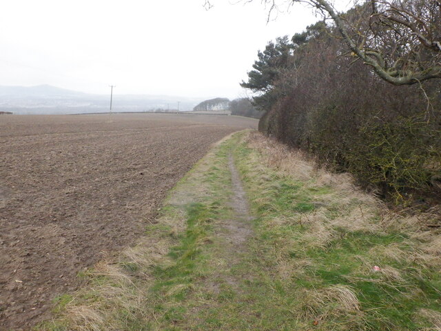
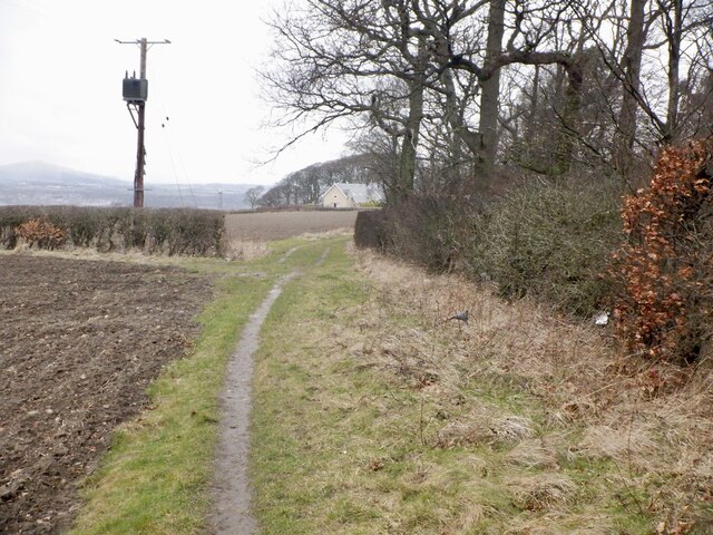
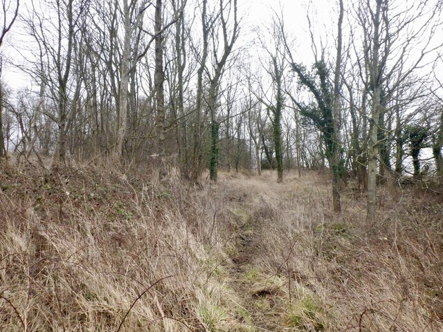
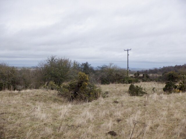
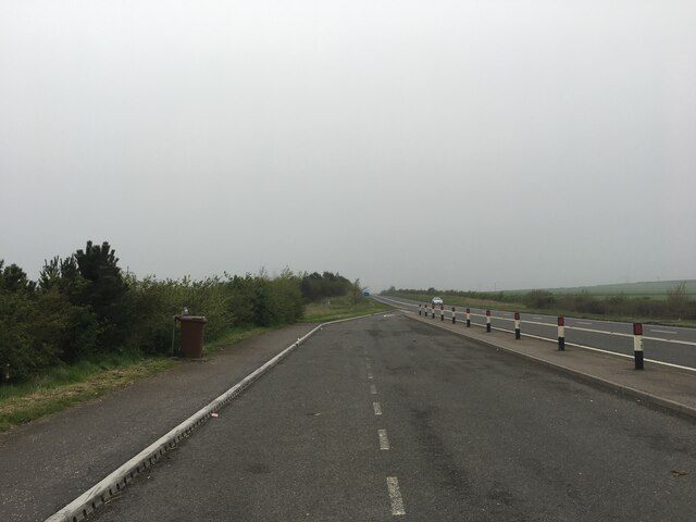
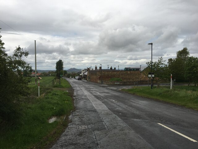
Images are sourced within 2km of 55.887474/-3.0335722 or Grid Reference NT3566. Thanks to Geograph Open Source API. All images are credited.

Lawfield Farm Sign Sign on public road for Lawfield Farm and Steading above Mayfield in Midlothian.
Lawfield Farm Sign
Sign on public road for Lawfield Farm and Steading above Mayfield in Midlothian.
Dalkeith from the air Dalkeith suburbs expanding towards the east.
Dalkeith from the air
Dalkeith suburbs expanding towards the east.
Cousland from the air The A68 Dalkeith Bypass road is in the foreground.
Cousland from the air
The A68 Dalkeith Bypass road is in the foreground.
Beside the A6106 The old A68 descends towards Dalkeith. Here by the bypass it is possible that development could take place.
Beside the A6106
The old A68 descends towards Dalkeith. Here by the bypass it is possible that development could take place.
Signpost near D' Arcy House The implication that the rough track to Edgehead was once a motor road.  This was once a small oilfield.
Signpost near D' Arcy House
The implication that the rough track to Edgehead was once a motor road. This was once a small oilfield.
D' Arcy to Edgehead road Once the Midlothian oilfield, the road like the oilwell (1919-22) is defunct. Still part of the path network.
D' Arcy to Edgehead road
Once the Midlothian oilfield, the road like the oilwell (1919-22) is defunct. Still part of the path network.
Path beside Limekiln Wood It leads to Lawfield. There is a lot of litter in the wood on the right, probably blown in from nearby Mayfield.
Path beside Limekiln Wood
It leads to Lawfield. There is a lot of litter in the wood on the right, probably blown in from nearby Mayfield.
Path beside Limekiln Wood It leads to Lawfield. There is a lot of litter in the wood on the right, probably blown in from nearby Mayfield.
Path beside Limekiln Wood
It leads to Lawfield. There is a lot of litter in the wood on the right, probably blown in from nearby Mayfield.
Lawfield Newly built houses on the site of a farm.
Lawfield
Newly built houses on the site of a farm.
Lawfield Newly built houses on the site of a farm.
Lawfield
Newly built houses on the site of a farm.
Path near D'Arcy Climbing beside Spy Law Wood towards the site of the oilwell.
Path near D'Arcy
Climbing beside Spy Law Wood towards the site of the oilwell.
D'Arcy to Edgehead road Passing Spy Law Wood
D'Arcy to Edgehead road
Passing Spy Law Wood
Spy Law Wood A former limestone quarry
Spy Law Wood
A former limestone quarry
Limestone quarry site, Edgehead Scrub on a 19th century quarry.
Limestone quarry site, Edgehead
Scrub on a 19th century quarry.
Lay-by on the A68 near Dalkeith
Road through Whitehill
A6106 towards Dalkeith
A68 Dalkeith bypass
A68 Dalkeith bypass
Show me another place!

Whitehill is located at Grid Ref: NT3566 (Lat: 55.887474, Lng: -3.0335722)

Unitary Authority: Midlothian

Police Authority: The Lothians and Scottish Borders

What 3 Words

///order.pulps.snapped. Near Mayfield, Midlothian

Nearby Locations

Whitehill

Related Wikis

Whitehill, Midlothian

Whitehill ( ) is a village in Midlothian in the south-east of Scotland, approximately 1.5 miles (2 km) south-east of Dalkeith and 8.5 miles (13.6 km) from...

Easthouses

Easthouses is a settlement in Midlothian, Scotland, lying to the east of Newtongrange and south of Dalkeith. It forms the northern extension of the settlement...

Dalkeith High School

Dalkeith High School is a secondary state school located in Dalkeith, Midlothian, Scotland. == History == Dalkeith High School was previously the historic...

St David's Roman Catholic High School

St David's Roman Catholic High School is a Catholic secondary state school located at Cousland Road in Dalkeith, Midlothian, Scotland. It has shared the...

Nearby Amenities

Located within 500m of 55.887474,-3.0335722
Whitehill
Is In: Midlothian, Scotland, UK
Place: hamlet
Wikidata: Q32152958
Lat/Long: 55.887498/-3.0333334
Barrier: bollard
Bicycle: yes
Foot: yes
Motor Vehicle: no
Lat/Long: 55.891304/-3.0362154
Post Box
Ref: EH22 239
Lat/Long: 55.8874442/-3.0333201
Addr Housenumber: 9
Addr Street: Witholm
Lat/Long: 55.8870161/-3.0358435
Give Way
Lat/Long: 55.8875204/-3.0351059
Bus Stop
Main Street
Bus: yes
Local Ref: opp 57
Naptan AtcoCode: 6280326980
Naptan Bearing: NW
Naptan CommonName: Main Street
Naptan Indicator: opp 57
Naptan Landmark: -
Naptan NaptanCode: 64324584
Naptan Street: Main Street
Naptan Verified: yes
Public Transport: platform
Ref: 6280326980
Source: NaPTAN
Lat/Long: 55.8873266/-3.0332696
Bus Stop
Main Street
Bus: yes
Local Ref: at 59
Naptan AtcoCode: 6280000057
Naptan Bearing: SE
Naptan CommonName: Main Street
Naptan Indicator: at 59
Naptan Landmark: -
Naptan NaptanCode: 64324585
Naptan Street: Main Street
Naptan Verified: yes
Public Transport: platform
Ref: 6280000057
Source: NaPTAN
Lat/Long: 55.8869837/-3.0320494
Power: pole
Lat/Long: 55.8895964/-3.0397366
Power: pole
Lat/Long: 55.8897612/-3.0391406
Power: pole
Lat/Long: 55.8900183/-3.0386364
Power: pole
Lat/Long: 55.8902146/-3.0388823
Power: pole
Lat/Long: 55.8895953/-3.037357
Power: pole
Lat/Long: 55.8891793/-3.036086
Power: pole
Lat/Long: 55.8888462/-3.0350879
Power: pole
Lat/Long: 55.8885237/-3.0340627
Power: pole
Lat/Long: 55.8882479/-3.0332709
Power: pole
Lat/Long: 55.887888/-3.0321457
Power: pole
Lat/Long: 55.8875585/-3.0311539
Power: pole
Lat/Long: 55.8873844/-3.0295286
Power: pole
Lat/Long: 55.886862/-3.0288108
Power: pole
Lat/Long: 55.8861492/-3.0277981
Power: pole
Lat/Long: 55.8854352/-3.0267959
Power: pole
Lat/Long: 55.8879126/-3.0302923
Power: pole
Lat/Long: 55.8882351/-3.0294296
Power: pole
Lat/Long: 55.8885623/-3.0285774
Power: pole
Lat/Long: 55.8888521/-3.0278231
Power: pole
Lat/Long: 55.8891956/-3.0269334
The data included in this document is from www.openstreetmap.org. The data is made available under ODbL.

Have you been to Whitehill?

Leave your review of Whitehill below (or comments, questions and feedback).