Dove Bank

Settlement in Staffordshire Newcastle-under-Lyme

England

Dove Bank

Hall Green Footbridge near Scholar Green in Cheshire This is the Macclesfield Canal, looking north-east from Hall Green Stop Lock. Narrowboat 'Oz' approaches at a steady rate while I open the lock gate! The footbridge carries a public footpath.
Hall Green Footbridge near Scholar Green in Cheshire Credit: Roger D Kidd

Dove Bank is a small rural village located in the county of Staffordshire, England. Situated approximately 8 miles north of Stafford, it is nestled in the picturesque countryside of the West Midlands region. The village is home to a population of around 500 residents.

The village of Dove Bank is characterized by its serene and tranquil atmosphere, making it an ideal place for those seeking a peaceful and relaxed lifestyle. The area is surrounded by lush green fields and rolling hills, offering residents stunning views and ample opportunities for outdoor activities such as hiking and cycling.

Despite its small size, Dove Bank boasts a strong sense of community, with various community events and gatherings held throughout the year. The village has a local pub, The Dove Inn, which serves as a popular meeting place for residents and visitors alike. Additionally, there is a village hall that hosts regular social events, including bingo nights and craft fairs.

Residents of Dove Bank benefit from the convenience of nearby amenities. The village is within close proximity to Stafford, where one can find a range of shops, supermarkets, and other essential services. There are also several primary schools in the surrounding area, providing education options for families with young children.

Overall, Dove Bank offers a charming and idyllic setting for those looking for a peaceful countryside lifestyle, while still having access to necessary amenities and a strong sense of community.

If you have any feedback on the listing, please let us know in the comments section below.
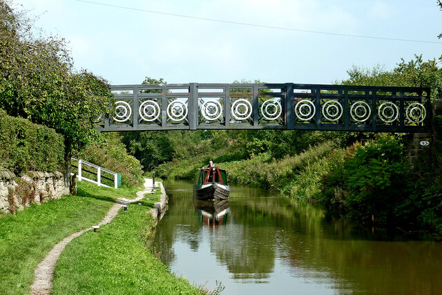
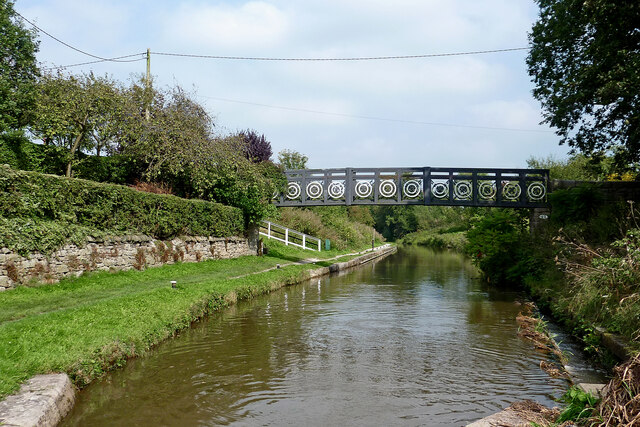
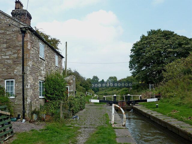
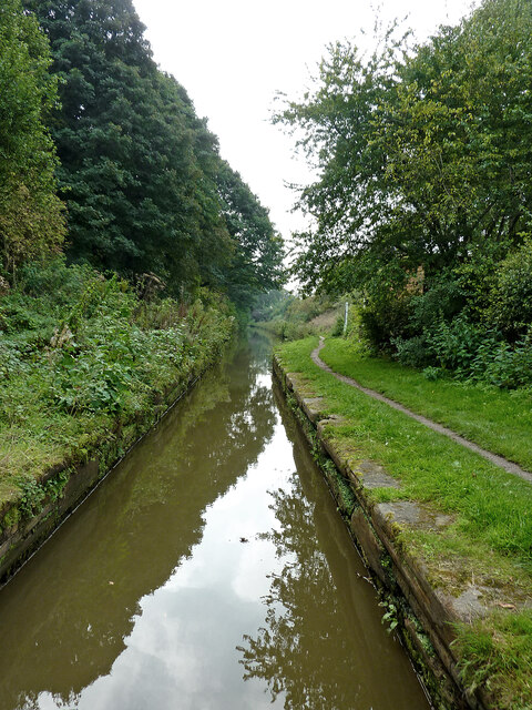
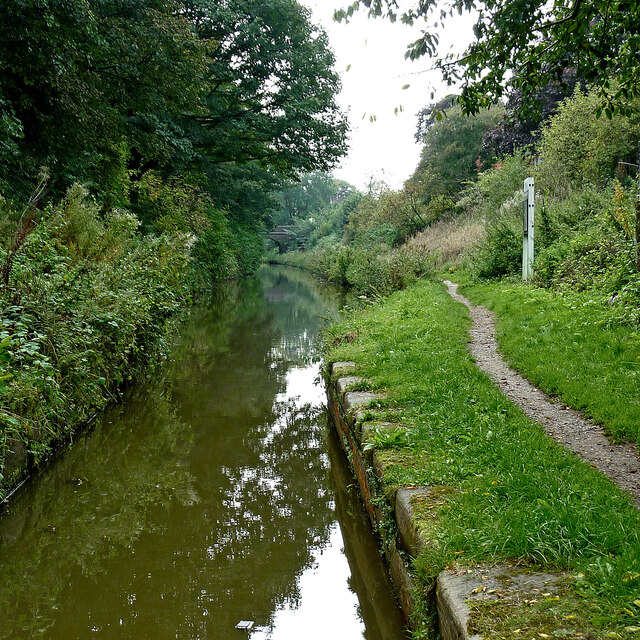
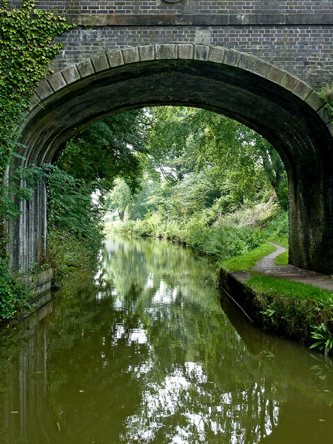
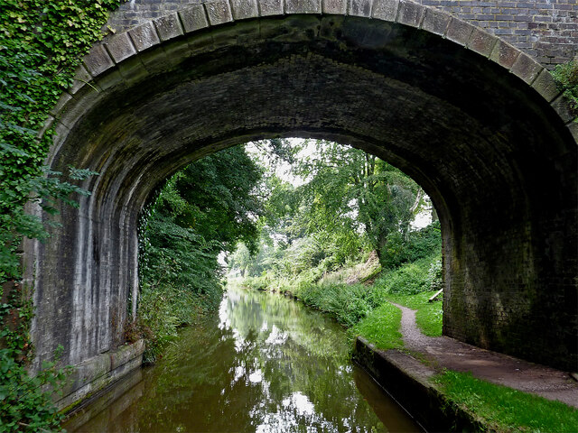
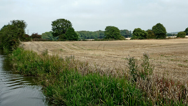
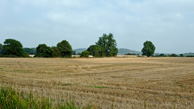
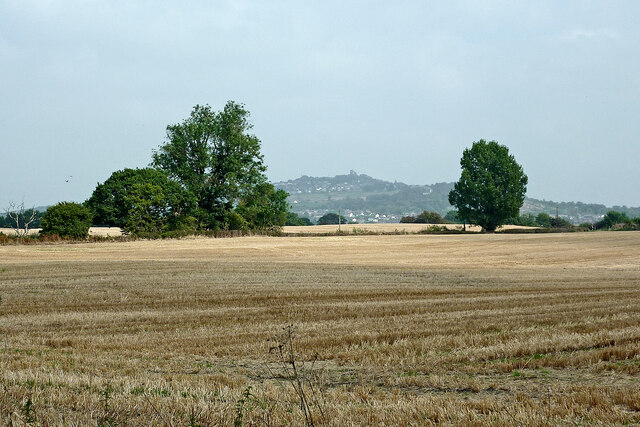
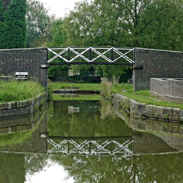
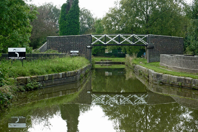
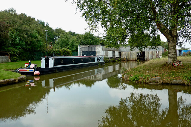
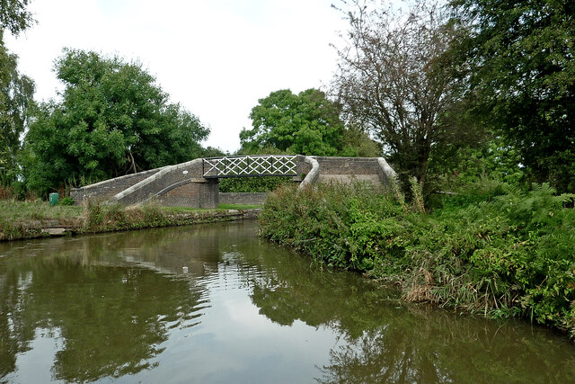
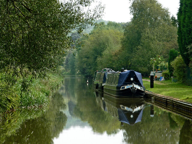
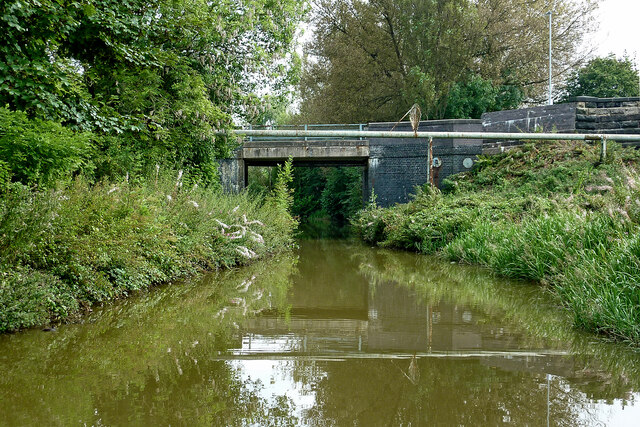
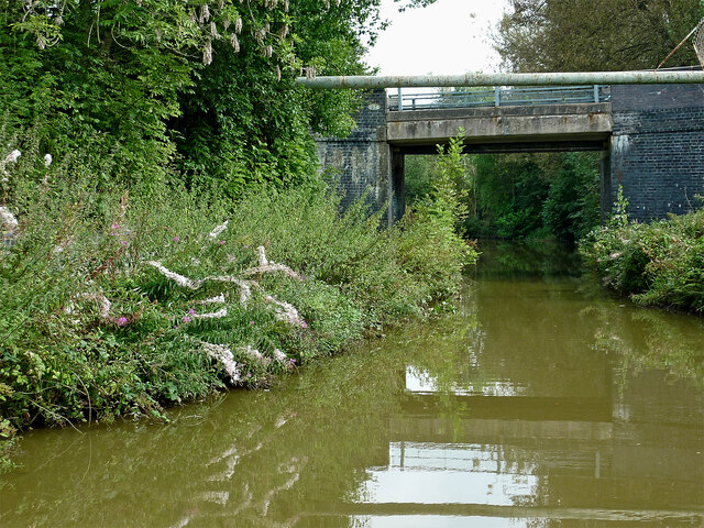
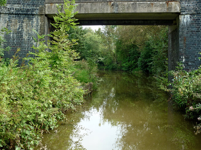
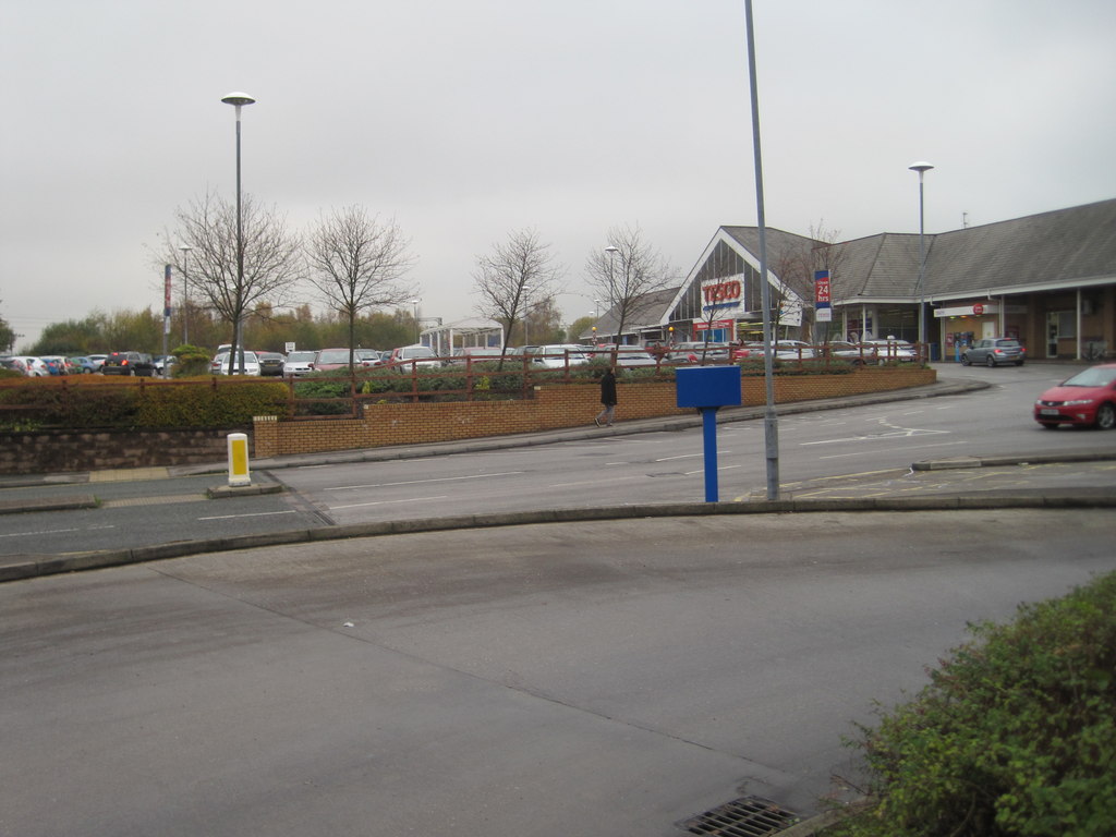
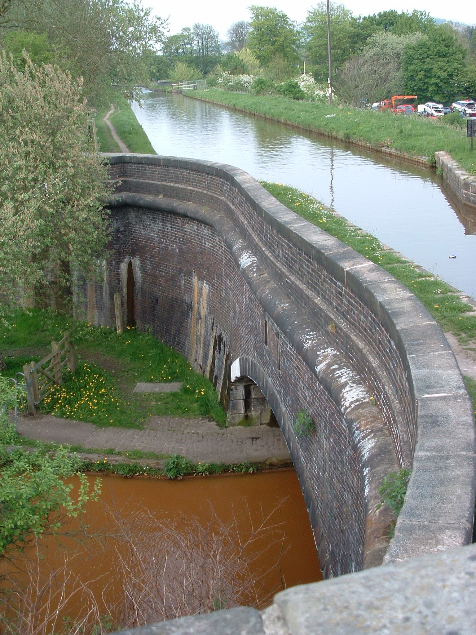
Dove Bank Images

Images are sourced within 2km of 53.088546/-2.2380036 or Grid Reference SJ8454. Thanks to Geograph Open Source API. All images are credited.

Hall Green Footbridge near Scholar Green in Cheshire This is the Macclesfield Canal, looking north-east from Hall Green Stop Lock. Narrowboat 'Oz' approaches at a steady rate while I open the lock gate! The footbridge carries a public footpath.
Hall Green Footbridge near Scholar Green in Cheshire
This is the Macclesfield Canal, looking north-east from Hall Green Stop Lock. Narrowboat 'Oz' approaches at a steady rate while I open the lock gate! The footbridge carries a public footpath.
Hall Green Footbridge near Scholar Green in Cheshire This is the Macclesfield Canal, looking north-east from Hall Green Stop Lock. The footbridge carries a public footpath.
Hall Green Footbridge near Scholar Green in Cheshire
This is the Macclesfield Canal, looking north-east from Hall Green Stop Lock. The footbridge carries a public footpath.
Hall Green Stop Lock near Scholar Green, Cheshire Looking north-north-east towards Congleton.
The stop lock here separated the Macclesfield Canal (ahead) from the Trent and Mersey Canal (behind), with a rise of just twelve inches (30·5 cm). This was to ensure that the later Macclesfield Canal did not "steal" water from the Trent and Mersey Canal!
The water between here and Hardings Wood Junction is now generally considered to be part of the Macclesfield Canal.
Hall Green Stop Lock near Scholar Green, Cheshire
Looking north-north-east towards Congleton. The stop lock here separated the Macclesfield Canal (ahead) from the Trent and Mersey Canal (behind), with a rise of just twelve inches (30·5 cm). This was to ensure that the later Macclesfield Canal did not "steal" water from the Trent and Mersey Canal! The water between here and Hardings Wood Junction is now generally considered to be part of the Macclesfield Canal.
Hall Green Narrows near Scholar Green in Cheshire This thirty metre narrow channel is south of Hall Green Stop Lock, which separates the Macclesfield Canal (behind) from the Trent and Mersey Canal (ahead).
The whole section between here and Hardings Wood Junction is now generally considered to be part of the Macclesfield Canal, or even "Trent and Mersey Canal (Hall Green Branch)".
Hall Green Narrows near Scholar Green in Cheshire
This thirty metre narrow channel is south of Hall Green Stop Lock, which separates the Macclesfield Canal (behind) from the Trent and Mersey Canal (ahead). The whole section between here and Hardings Wood Junction is now generally considered to be part of the Macclesfield Canal, or even "Trent and Mersey Canal (Hall Green Branch)".
Trent and Mersey Canal (Hall Green Branch) Looking south-west towards Hardings Wood.
There is a thirty metre narrow channel south of Hall Green Stop Lock, which separates the Macclesfield Canal (behind) from the Trent and Mersey Canal (ahead).
The whole section between here and Hardings Wood Junction is now generally considered to be part of the Macclesfield Canal, or even "Trent and Mersey Canal (Hall Green Branch)".
Trent and Mersey Canal (Hall Green Branch)
Looking south-west towards Hardings Wood. There is a thirty metre narrow channel south of Hall Green Stop Lock, which separates the Macclesfield Canal (behind) from the Trent and Mersey Canal (ahead). The whole section between here and Hardings Wood Junction is now generally considered to be part of the Macclesfield Canal, or even "Trent and Mersey Canal (Hall Green Branch)".
Moss Lane Bridge near Scholar Green in Cheshire Moss Lane Bridge is No 94 across the Trent and Mersey Canal (Hall Green Branch). This canal is often considered now as part of the Macclesfield Canal, and uses its bridge numbering sequence.
Moss Lane Bridge near Scholar Green in Cheshire
Moss Lane Bridge is No 94 across the Trent and Mersey Canal (Hall Green Branch). This canal is often considered now as part of the Macclesfield Canal, and uses its bridge numbering sequence.
Cheshire farmland near Hardings Wood Looking north-east from the canal south of Knowsley Lane Bridge, No 95. On the syline is the woodland of Flea Crows Plantation.
Cheshire farmland near Hardings Wood
Looking north-east from the canal south of Knowsley Lane Bridge, No 95. On the syline is the woodland of Flea Crows Plantation.
Cheshire farmland near Hardings Wood Looking east-north-east from the canal. The line of trees is by Knowsley Lane.
Cheshire farmland near Hardings Wood
Looking east-north-east from the canal. The line of trees is by Knowsley Lane.
Cheshire farmland near Hardings Wood A telephoto assisted image, looking north-east from the canal. The closer trees are by Knowsley Lane. The Mow Kop Castle ruin folly is on the summit about two miles away.
Cheshire farmland near Hardings Wood
A telephoto assisted image, looking north-east from the canal. The closer trees are by Knowsley Lane. The Mow Kop Castle ruin folly is on the summit about two miles away.
Pool Lock Aqueduct and footbridge at Red Bull This is a telephoto assisted image at the Trent and Mersey Canal (Hall Green Branch) crossing the main line near Hardings Wood. Ahead, the canal turns sharply to the left towards Hardings Wood Junction. Off to the right is a wharf and boatyard.
The towpath bridge is No 96, using the Macclesfield Canal sequencing. I see some references are now naming this "Piper's Bridge" after David Piper, who operated the nearby boatyard until 1997.
Pool Lock Aqueduct and footbridge at Red Bull
This is a telephoto assisted image at the Trent and Mersey Canal (Hall Green Branch) crossing the main line near Hardings Wood. Ahead, the canal turns sharply to the left towards Hardings Wood Junction. Off to the right is a wharf and boatyard. The towpath bridge is No 96, using the Macclesfield Canal sequencing. I see some references are now naming this "Piper's Bridge" after David Piper, who operated the nearby boatyard until 1997.
Pool Lock Aqueduct and footbridge at Red Bull This is the Trent and Mersey Canal (Hall Green Branch) crossing the main line near Hardings Wood. Ahead, the canal turns sharply to the left towards Hardings Wood Junction. Off to the right is a wharf and boatyard. I see some references are now naming this "Piper's Bridge".
The towpath bridge is No 96, using the Macclesfield Canal sequencing.
Pool Lock Aqueduct and footbridge at Red Bull
This is the Trent and Mersey Canal (Hall Green Branch) crossing the main line near Hardings Wood. Ahead, the canal turns sharply to the left towards Hardings Wood Junction. Off to the right is a wharf and boatyard. I see some references are now naming this "Piper's Bridge". The towpath bridge is No 96, using the Macclesfield Canal sequencing.
Canal wharf and boatyard near Red Bull Trent and Mersey Canal (Hall Green Branch)/Macclesfield Canal.

This business by Pool Lock Aqueduct is operated now by Red Bull Services. 
The 60ft (18·3 metres) narrowboat "Patricia Jean" displays their name.
The site was occupied by David Piper, builder of highly regarded narrowboats here from 1972 until 1997. I see some sources are now naming this basin "Piper's Bridge Arm".
Canal wharf and boatyard near Red Bull
Trent and Mersey Canal (Hall Green Branch)/Macclesfield Canal. This business by Pool Lock Aqueduct is operated now by Red Bull Services. The 60ft (18·3 metres) narrowboat "Patricia Jean" displays their name. The site was occupied by David Piper, builder of highly regarded narrowboats here from 1972 until 1997. I see some sources are now naming this basin "Piper's Bridge Arm".
Towpath bridge near Red Bull in Cheshire This is Bridge No 96 across the Trent and Mersey Canal (Hall Green Branch)/Macclesfield Canal. Adjacent to this is Pool Lock Aqueduct across the Tent and Mersey Canal Main Line.

There seems to be a trend towards calling them Piper's Bridge, and Piper's Bridge Aqueduct after the respected boat builder David Piper who ran the nearby boatyard.
Towpath bridge near Red Bull in Cheshire
This is Bridge No 96 across the Trent and Mersey Canal (Hall Green Branch)/Macclesfield Canal. Adjacent to this is Pool Lock Aqueduct across the Tent and Mersey Canal Main Line. There seems to be a trend towards calling them Piper's Bridge, and Piper's Bridge Aqueduct after the respected boat builder David Piper who ran the nearby boatyard.
Trent and Mersey Canal (Hall Green Branch) near Hardings Wood Looking south-east towards Hardings Wood Junction.
This canal is often considered now to be part of the Macclesfield Canal. The moorings on the right are private long-term positions.
Trent and Mersey Canal (Hall Green Branch) near Hardings Wood
Looking south-east towards Hardings Wood Junction. This canal is often considered now to be part of the Macclesfield Canal. The moorings on the right are private long-term positions.
Canal near Hardings Wood in Staffordshire Looking east-south-east towards Hardings Wood Junction, this is the Trent and Mersey Canal (Hall Green Branch). It is often now considered to be part of the Macclesfield Canal. Ahead is Kidsgrove Bridge, No 97 (Macclesfield Canal numbering), carrying Hardingswood Road.
Canal near Hardings Wood in Staffordshire
Looking east-south-east towards Hardings Wood Junction, this is the Trent and Mersey Canal (Hall Green Branch). It is often now considered to be part of the Macclesfield Canal. Ahead is Kidsgrove Bridge, No 97 (Macclesfield Canal numbering), carrying Hardingswood Road.
Trent and Mersey Canal (Hall Green Branch) near Hardings Wood Looking east-south-east towards Hardings Wood Junction, this is the Trent and Mersey Canal (Hall Green Branch). It is often now considered to be part of the Macclesfield Canal. Ahead is Kidsgrove Bridge, No 97 (Macclesfield Canal numbering), carrying Hardingswood Road.
Trent and Mersey Canal (Hall Green Branch) near Hardings Wood
Looking east-south-east towards Hardings Wood Junction, this is the Trent and Mersey Canal (Hall Green Branch). It is often now considered to be part of the Macclesfield Canal. Ahead is Kidsgrove Bridge, No 97 (Macclesfield Canal numbering), carrying Hardingswood Road.
Canal at Kidsgrove Bridge near Hardings Wood, Staffordshire Looking east-south-east towards Hardings Wood Junction, this is the Trent and Mersey Canal (Hall Green Branch). It is often now considered to be part of the Macclesfield Canal. Kidsgrove Bridge is No 97 (Macclesfield Canal numbering), carrying Hardingswood Road.
Canal at Kidsgrove Bridge near Hardings Wood, Staffordshire
Looking east-south-east towards Hardings Wood Junction, this is the Trent and Mersey Canal (Hall Green Branch). It is often now considered to be part of the Macclesfield Canal. Kidsgrove Bridge is No 97 (Macclesfield Canal numbering), carrying Hardingswood Road.
Show me another place!

Dove Bank is located at Grid Ref: SJ8454 (Lat: 53.088546, Lng: -2.2380036)

Administrative County: Staffordshire

District: Newcastle-under-Lyme

Police Authority: Staffordshire

What 3 Words

///audit.clean.void. Near Kidsgrove, Staffordshire

Nearby Locations

Dove Bank Whitehill

Related Wikis

Kidsgrove Urban District

Kidsgrove Urban District was an urban district in the county of Staffordshire. It was formed in 1894 with the civil parishes of Hardings Wood, Kidsgrove...

Market Street Halt railway station

Market Street Halt was a halt that served the town of Kidsgrove, Staffordshire, England. It was opened in 1909 and located on the Potteries Loop Line...

Kidsgrove Town Hall

Kidsgrove Town Hall is a municipal building in Liverpool Road in Kidsgrove, Staffordshire, England. The building, which is the meeting place of Kidsgrove...

Kidsgrove Liverpool Road railway station

Kidsgrove Liverpool Road railway station was the northernmost station on the Potteries Loop Line and served the town of Kidsgrove, Staffordshire. It was...

Kidsgrove railway station

Kidsgrove railway station serves the town of Kidsgrove in Staffordshire, England. The station is 7.5 miles (12.07 km) north of Stoke-on-Trent. The station...

Hardings Wood Junction

Hardings Wood Junction (grid reference SJ834546) is a canal junction near Kidsgrove, Staffordshire, England and the point at which the Macclesfield Canal...

Hall Green Branch

The Hall Green Branch of the Trent and Mersey Canal is a canal in east Cheshire, England. It runs for one mile from Kidsgrove to Hall Green, where it makes...

Kidsgrove

Kidsgrove is a town in the borough of Newcastle-under-Lyme, Staffordshire, England, on the Cheshire border. It is part of the Potteries Urban Area, along...

Nearby Amenities

Located within 500m of 53.088546,-2.2380036
Kidsgrove
Place: town
Population: 23756
Population Date: 2011
Source Population: wikipedia
Wikidata: Q612117
Wikipedia: en:Kidsgrove
Lat/Long: 53.08778/-2.2385489
Crossing
Lat/Long: 53.0857123/-2.2361623
Bus Stop
Queen Street
Bus: yes
Departures Board: no
Naptan AtcoCode: 3800C503200
Naptan Bearing: N
Naptan CommonName: Queen Street
Naptan Indicator: Opp
Naptan Landmark: Queen St
Naptan PlusbusZoneRef: STOKEOT
Naptan Street: King St
Naptan Verified: no
Public Transport: platform
Shelter: yes
Source: naptan_import
Lat/Long: 53.0879734/-2.2402681
Bus Stop
Queen Street
Bus: yes
Naptan AtcoCode: 3800C503201
Naptan Bearing: S
Naptan CommonName: Queen Street
Naptan Indicator: Adj
Naptan Landmark: Queen St
Naptan PlusbusZoneRef: STOKEOT
Naptan Street: King St
Naptan Verified: no
Public Transport: platform
Source: naptan_import
Lat/Long: 53.0878691/-2.2400503
Bus Stop
Methodist Church
Bus: yes
Naptan AtcoCode: 3800C503300
Naptan Bearing: SW
Naptan CommonName: Methodist Church
Naptan Indicator: Adj
Naptan Landmark: Methodist Church
Naptan PlusbusZoneRef: STOKEOT
Naptan Street: The Avenue
Naptan Verified: no
Public Transport: platform
Source: naptan_import
Lat/Long: 53.0865555/-2.2408172
Bus Stop
Job Centre
Bus: yes
Naptan AtcoCode: 3800C503301
Naptan Bearing: NE
Naptan CommonName: Job Centre
Naptan Indicator: Adj
Naptan Landmark: Job Centre
Naptan PlusbusZoneRef: STOKEOT
Naptan Street: The Avenue
Naptan Verified: no
Public Transport: platform
Source: naptan_import
Lat/Long: 53.0860411/-2.2418147
Bus Stop
Town Hall
Bus: yes
Naptan AtcoCode: 3800C503400
Naptan Bearing: SE
Naptan CommonName: Town Hall
Naptan Indicator: Adj
Naptan Landmark: Town Hall
Naptan PlusbusZoneRef: STOKEOT
Naptan Street: Liverpool Rd
Naptan Verified: no
Public Transport: platform
Source: naptan_import
Lat/Long: 53.0863343/-2.2390691
Bus Stop
Town Hall
Bus: yes
Naptan AtcoCode: 3800C503401
Naptan Bearing: NW
Naptan BusStopType: CUS
Naptan CommonName: Town Hall
Naptan Indicator: Opp
Naptan Landmark: Town Hall
Naptan PlusbusZoneRef: STOKEOT
Naptan Street: Liverpool Road
Naptan Verified: no
Public Transport: platform
Source: naptan_import
Lat/Long: 53.0863157/-2.2393527
Bus Stop
Market Street
Bus: yes
Naptan AtcoCode: 3800C503500
Naptan Bearing: N
Naptan CommonName: Market Street
Naptan Indicator: Adj
Naptan Landmark: Market Street
Naptan PlusbusZoneRef: STOKEOT
Naptan Street: Kinnersley Street
Naptan Verified: no
Public Transport: platform
Source: naptan_import
Lat/Long: 53.0870831/-2.2377145
Bus Stop
Market Street
Bus: yes
Naptan AtcoCode: 3800C503501
Naptan Bearing: S
Naptan BusStopType: CUS
Naptan CommonName: Market Street
Naptan Indicator: Opp
Naptan Landmark: Market Street
Naptan PlusbusZoneRef: STOKEOT
Naptan Street: Kinnersley Street
Naptan Verified: no
Public Transport: platform
Source: naptan_import
Lat/Long: 53.0872272/-2.2375511
Bus Stop
Rutland Road
Bus: yes
Naptan AtcoCode: 3800C510302
Naptan Bearing: W
Naptan CommonName: Rutland Road
Naptan Indicator: adj
Naptan PlusbusZoneRef: STOKEOT
Naptan Street: William Road
Naptan Verified: no
Public Transport: platform
Source: naptan_import
Lat/Long: 53.0912145/-2.2361093
Bus Stop
Somerset Avenue
Bus: yes
Naptan AtcoCode: 3800C519101
Naptan Bearing: NE
Naptan CommonName: Somerset Avenue
Naptan Indicator: Adj
Naptan Landmark: Somerset Avenue
Naptan PlusbusZoneRef: STOKEOT
Naptan Street: King Street
Naptan Verified: no
Public Transport: platform
Source: naptan_import
Lat/Long: 53.0904671/-2.2396284
Bus Stop
Somerset Avenue
Bus: yes
Naptan AtcoCode: 3800C519102
Naptan Bearing: S
Naptan CommonName: Somerset Avenue
Naptan Indicator: opp
Naptan PlusbusZoneRef: STOKEOT
Naptan Street: King Street
Naptan Verified: no
Public Transport: platform
Source: naptan_import
Lat/Long: 53.0902738/-2.2393709
Bus Stop
Dorset Road
Bus: yes
Naptan AtcoCode: 3800C519301
Naptan Bearing: W
Naptan CommonName: Dorset Road
Naptan Indicator: Adj
Naptan Landmark: Dorset Road
Naptan PlusbusZoneRef: STOKEOT
Naptan Street: William Road
Naptan Verified: no
Public Transport: platform
Source: naptan_import
Lat/Long: 53.0915367/-2.2342962
Bus Stop
Dorset Place
Bus: yes
Naptan AtcoCode: 3800C519302
Naptan Bearing: E
Naptan CommonName: Dorset Place
Naptan Indicator: Adj
Naptan Street: William Road
Naptan Verified: no
Public Transport: platform
Source: naptan_import
Lat/Long: 53.0920198/-2.2337736
Bus Stop
Police Station
Bus: yes
Naptan AtcoCode: 3800C590701
Naptan Bearing: SE
Naptan CommonName: Police Station
Naptan Indicator: Opp
Naptan Landmark: Police Station
Naptan PlusbusZoneRef: STOKEOT
Naptan Street: Liverpool Road
Naptan Verified: no
Public Transport: platform
Source: naptan_import
Lat/Long: 53.0852517/-2.23651
Bus Stop
Police Station
Bus: yes
Naptan AtcoCode: 3800C590702
Naptan Bearing: NW
Naptan CommonName: Police Station
Naptan Indicator: Adj
Naptan Landmark: Police Station
Naptan PlusbusZoneRef: STOKEOT
Naptan Street: Liverpool Road
Naptan Verified: no
Public Transport: platform
Source: naptan_import
Lat/Long: 53.0853935/-2.2374962
Bus Stop
Meadows Road
Bus: yes
Naptan AtcoCode: 3800C592001
Naptan Bearing: NW
Naptan CommonName: Meadows Road
Naptan Indicator: Adj
Naptan Landmark: Meadows Rd
Naptan PlusbusZoneRef: STOKEOT
Naptan Street: Liverpool Road
Naptan Verified: no
Public Transport: platform
Source: naptan_import
Lat/Long: 53.0871287/-2.2418656
Bus Stop
Meadows Road
Bus: yes
Naptan AtcoCode: 3800C592002
Naptan Bearing: SE
Naptan BusStopType: CUS
Naptan CommonName: Meadows Road
Naptan Indicator: Opp
Naptan Landmark: Meadows Rd
Naptan PlusbusZoneRef: STOKEOT
Naptan Street: Liverpool Road
Naptan Verified: no
Public Transport: platform
Source: naptan_import
Lat/Long: 53.0872366/-2.2418512
Bus Stop
Wesley Gardens
Bus: yes
Naptan AtcoCode: 3800C595001
Naptan Bearing: NE
Naptan CommonName: Wesley Gardens
Naptan Indicator: Opp
Naptan Landmark: Wesley Gardens
Naptan PlusbusZoneRef: STOKEOT
Naptan Street: Attwood Street
Naptan Verified: no
Public Transport: platform
Source: naptan_import
Lat/Long: 53.0888585/-2.2354398
Bus Stop
Higherland Court
Bus: yes
Naptan AtcoCode: 3800C595002
Naptan Bearing: SW
Naptan CommonName: Higherland Court
Naptan Indicator: Adj
Naptan Landmark: Higherland Court
Naptan PlusbusZoneRef: STOKEOT
Naptan Street: Attwood Street
Naptan Verified: no
Public Transport: platform
Source: naptan_import
Lat/Long: 53.0886873/-2.2356479
Bus Stop
White Hall Road
Bus: yes
Naptan AtcoCode: 3800C595501
Naptan Bearing: NW
Naptan CommonName: White Hall Road
Naptan Indicator: Opp
Naptan Landmark: White Hall Rd
Naptan PlusbusZoneRef: STOKEOT
Naptan Street: Liverpool Rd East
Naptan Verified: no
Public Transport: platform
Source: naptan_import
Lat/Long: 53.0881935/-2.2442456
Bus Stop
Tesco Store
Bus: yes
Naptan AtcoCode: 3800C595502
Naptan Bearing: SE
Naptan CommonName: Tesco Store
Naptan Indicator: Adj
Naptan Landmark: Tesco Store
Naptan PlusbusZoneRef: STOKEOT
Naptan Street: Liverpool Road
Naptan Verified: no
Public Transport: platform
Source: naptan_import
Lat/Long: 53.0888206/-2.2453242
Bus Stop
Kidsgrove, The Mount
Bus: yes
Naptan AtcoCode: 3800C596301
Naptan Bearing: N
Naptan CommonName: The Mount
Naptan Indicator: Adj
Naptan Landmark: Liverpool Road
Naptan PlusbusZoneRef: STOKEOT
Naptan Street: Mount Road
Naptan Verified: no
Public Transport: platform
Source: naptan_import
Lat/Long: 53.0856333/-2.2366137
Mini Roundabout
Lat/Long: 53.0889472/-2.2443895
Turning Circle
Lat/Long: 53.0907857/-2.2443098
Traffic Calming: cushion
Lat/Long: 53.0927687/-2.2392907
Traffic Calming: cushion
Lat/Long: 53.0885984/-2.2419903
Pharmacy
Lloyds Pharmacy
Branch: Chemists
Brand: Lloyds Pharmacy
Brand Wikidata: Q6662870
Brand Wikipedia: en:LloydsPharmacy
Healthcare: pharmacy
Lat/Long: 53.0868779/-2.23827
Pharmacy
Tesco
Healthcare: pharmacy
Lat/Long: 53.0894267/-2.2449694
Mini Roundabout
Lat/Long: 53.0913231/-2.2382355
Crossing
Crossing: marked
Crossing Island: no
Tactile Paving: yes
Lat/Long: 53.0874036/-2.2401833
Home Bargains
Addr City: Stoke-on-Trent
Addr Postcode: ST7 4AB
Addr Street: Market Street
Brand: Home Bargains
Brand Wikidata: Q5888229
Brand Wikipedia: en:Home Bargains
Contact Website: https://storelocator.homebargains.co.uk/store/A161/Market+Street,+Kidsgrove,+Staffordshire
Fhrs Id: 98072
Opening Hours: Mo-Sa 08:00-18:00 Su 10:00-16:00
Phone: 01782 787366
Shop: variety_store
Source Addr: FHRS Open Data
Lat/Long: 53.0873241/-2.2384244
TOPS
Addr City: Stoke-on-Trent
Addr Housename: TOPS
Addr Housenumber: 15
Addr Postcode: ST7 4ET
Addr Street: Ravenscliffe Road
Landuse: residential
Residential: apartments
Lat/Long: 53.0847707/-2.2370233
Parking
Lat/Long: 53.0869429/-2.2374611
Post Box
Lat/Long: 53.0864848/-2.2413116
Parking
Lat/Long: 53.0868843/-2.2427675
Parking
Lat/Long: 53.0860917/-2.2374975
Bike and Caravan Parts Sales
Shop: bicycle
Lat/Long: 53.0875355/-2.2438494
Post Box
Brand: Royal Mail
Brand Wikidata: Q638098
Brand Wikipedia: en:Royal Mail
Operator: Royal Mail
Operator Type: private
Operator Wikidata: Q638098
Lat/Long: 53.0893375/-2.2448679
Toilets
Tesco
Changing Table: yes
Female: yes
Male: yes
Wheelchair: yes
Lat/Long: 53.0892813/-2.2444013
Atm
Tesco
Check Date: 2022-06-18
Fee: no
Opening Hours: 24/7
Operator: Royal Bank of Scotland
Lat/Long: 53.0892617/-2.2447067
Traffic Calming: cushion
Lat/Long: 53.0923601/-2.2418905
Traffic Calming: cushion
Lat/Long: 53.0925481/-2.2408229
Kidsgrove Liverpool Road
End Date: 1964-03-02
Historic Railway: station
Old Name: Kidsgrove
Railway: site
Start Date: 1875-11-15
Wikidata: Q6405021
Wikipedia: en:Kidsgrove Liverpool Road railway station
Lat/Long: 53.0890007/-2.245122
Market Street Halt
Abandoned Railway: station
Railway: site
Lat/Long: 53.0863314/-2.2373347
Traffic Signals
Lat/Long: 53.0870245/-2.2408828
Traffic Signals
Lat/Long: 53.08676/-2.2406178
Traffic Signals
Lat/Long: 53.0868201/-2.2402261
Crossing
Lat/Long: 53.0864406/-2.2410918
Turning Circle
Lat/Long: 53.0921591/-2.2345832
Atm
Source: survey
Lat/Long: 53.0871489/-2.2408865
Traffic Calming: cushion
Lat/Long: 53.0883584/-2.2378799
Traffic Calming: cushion
Lat/Long: 53.0888964/-2.2381298
Traffic Calming: cushion
Lat/Long: 53.0896246/-2.2382968
Toilets
Lat/Long: 53.087472/-2.2403408
Generator Method: photovoltaic
Generator Output Electricity: yes
Generator Source: solar
Generator Type: solar_photovoltaic_panel
Location: roof
Power: generator
Source: Maxar imagery
Lat/Long: 53.085572/-2.2380003
Generator Method: photovoltaic
Generator Output Electricity: yes
Generator Source: solar
Generator Type: solar_photovoltaic_panel
Location: roof
Power: generator
Source: Maxar imagery
Lat/Long: 53.092816/-2.2400844
Generator Method: photovoltaic
Generator Output Electricity: yes
Generator Source: solar
Generator Type: solar_photovoltaic_panel
Location: roof
Power: generator
Source: Maxar imagery
Lat/Long: 53.0917304/-2.2407375
Generator Method: photovoltaic
Generator Output Electricity: yes
Generator Source: solar
Generator Type: solar_photovoltaic_panel
Location: roof
Power: generator
Source: Maxar imagery
Lat/Long: 53.0917562/-2.2406195
Generator Method: photovoltaic
Generator Output Electricity: yes
Generator Source: solar
Generator Type: solar_photovoltaic_panel
Location: roof
Power: generator
Source: Maxar imagery
Lat/Long: 53.0905078/-2.2409159
Generator Method: photovoltaic
Generator Output Electricity: yes
Generator Source: solar
Generator Type: solar_photovoltaic_panel
Location: roof
Power: generator
Source: Maxar imagery
Lat/Long: 53.0894398/-2.2423214
Generator Method: photovoltaic
Generator Output Electricity: yes
Generator Source: solar
Generator Type: solar_photovoltaic_panel
Location: roof
Power: generator
Source: Maxar imagery
Lat/Long: 53.0886425/-2.2416481
Generator Method: photovoltaic
Generator Output Electricity: yes
Generator Source: solar
Generator Type: solar_photovoltaic_panel
Location: roof
Power: generator
Source: Maxar imagery
Lat/Long: 53.0886698/-2.2417447
Power: substation
Lat/Long: 53.0858947/-2.2367304
Barrier: lift_gate
Lat/Long: 53.0859056/-2.237068
Bus Stop
Kidsgrove, The Mount
Bus: yes
Naptan AtcoCode: 3800C596302
Naptan Bearing: SW
Naptan CommonName: The Mount
Naptan Indicator: nr
Naptan Landmark: The Mount
Naptan LocalityName: Kidsgrove
Naptan NaptanCode: stadwjmw
Naptan PlusbusZoneRef: STOKEOT
Naptan ShortCommonName: The Mount
Naptan Street: Mount Road
Public Transport: platform
Source: naptan_import
Lat/Long: 53.085449/-2.236448
Give Way
Direction: forward
Lat/Long: 53.088166/-2.2378431
Fast Food
Wright's
Addr City: Kidsgrove
Addr Housenumber: 11
Addr Postcode: ST7 1HW
Addr Street: King Street
Check Date: 2024-01-30
Cuisine: pastry;cake
Drive Through: no
Opening Hours: Mo-Sa 08:00-18:30
Operator: Wright's
Phone: 01782 783602
Lat/Long: 53.0878777/-2.2405182
Bicycle Parking
Access: yes
Bicycle Parking: two-tier
Capacity: 32
Covered: yes
Fee: no
Lat/Long: 53.0862/-2.2441776
Bicycle Parking
Access: yes
Bicycle Parking: stands
Capacity: 10
Covered: no
Fee: no
Lat/Long: 53.0872588/-2.2402616
Bicycle Parking
Access: yes
Bicycle Parking: stands
Capacity: 6
Covered: yes
Fee: no
Lat/Long: 53.0894619/-2.245215
The data included in this document is from www.openstreetmap.org. The data is made available under ODbL.

Have you been to Dove Bank?

Leave your review of Dove Bank below (or comments, questions and feedback).