Bramley Vale
Settlement in Derbyshire Bolsover
England
Bramley Vale

Bramley Vale is a small village located in the county of Derbyshire, England. Situated approximately four miles northeast of the town of Chesterfield, it falls within the Bolsover district. The village is nestled in a picturesque rural setting, surrounded by rolling hills and beautiful countryside.
The history of Bramley Vale dates back to the late 19th century when it was primarily known for its coal mining industry. The village was developed to accommodate the miners and their families, and evidence of its industrial past can still be seen in the form of several old colliery buildings and disused mine shafts.
Today, Bramley Vale has transformed into a quiet residential area with a close-knit community. The village offers a range of amenities including a primary school, a local convenience store, and a pub. There are also several recreational facilities such as a park and a community center, providing spaces for residents to come together and engage in various activities.
Nature lovers will appreciate the village's proximity to the stunning Peak District National Park, which is just a short drive away. This allows residents of Bramley Vale to enjoy outdoor pursuits such as hiking, cycling, and exploring the park's natural beauty.
Overall, Bramley Vale is a charming village that combines its industrial heritage with rural tranquility, offering a peaceful and idyllic place to live.
If you have any feedback on the listing, please let us know in the comments section below.
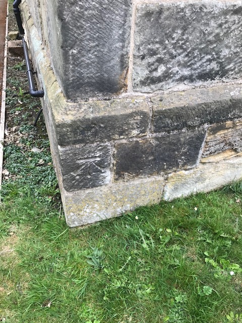
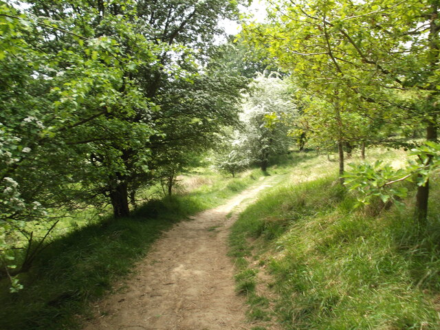
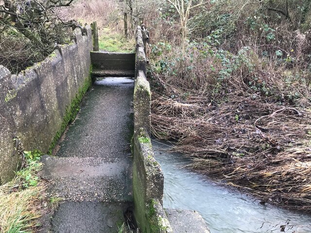
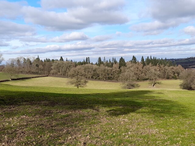
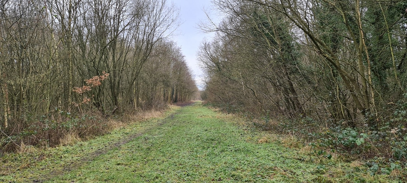
Bramley Vale Images
Images are sourced within 2km of 53.18943/-1.309119 or Grid Reference SK4666. Thanks to Geograph Open Source API. All images are credited.


Bramley Vale is located at Grid Ref: SK4666 (Lat: 53.18943, Lng: -1.309119)
Administrative County: Derbyshire
District: Bolsover
Police Authority: Derbyshire
What 3 Words
///venturing.divisions.nanny. Near Glapwell, Derbyshire
Nearby Locations
Related Wikis

Doe Lea
Doe Lea is a small, linear village in the English county of Derbyshire. It is in the Bolsover district of the county and falls in the Ault Hucknall civil...
Glapwell railway station
Glapwell is a former railway station in Glapwell, Derbyshire, England. == Context == The station was built by the Midland Railway on the circuitous Barrow...
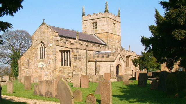
St John the Baptist's Church, Ault Hucknall
St John the Baptist's Church, Ault Hucknall, is a Grade I listed parish church in the Church of England in Ault Hucknall, Derbyshire. == History == The...
Ault Hucknall
Ault Hucknall (Old English: Hucca's nook of land) is a village and civil parish in the Bolsover district of Derbyshire, England. The population of the...

Bramley Vale
Bramley Vale is a village in Derbyshire, England, south of Bolsover. It is in the civil parish of Ault Hucknall. == History == Bramley Vale is a former...

Stainsby Mill
Stainsby Mill is a 19th-century flour watermill in Doe Lea, Chesterfield, Derbyshire, England. The mill, which has been restored to full working order...

Rowthorn Tunnel
Rowthorn Tunnel is a former railway tunnel between Glapwell and Rowthorn and Hardwick stations southeast of Chesterfield, Derbyshire, England. Some sources...

Stainsby, Derbyshire
Stainsby is a small village in Derbyshire, England. It is near Chesterfield and Bolsover, and the villages of Heath and Doe Lea. The village population...
Nearby Amenities
Located within 500m of 53.18943,-1.309119Have you been to Bramley Vale?
Leave your review of Bramley Vale below (or comments, questions and feedback).