Common Wood
Wood, Forest in Derbyshire Bolsover
England
Common Wood

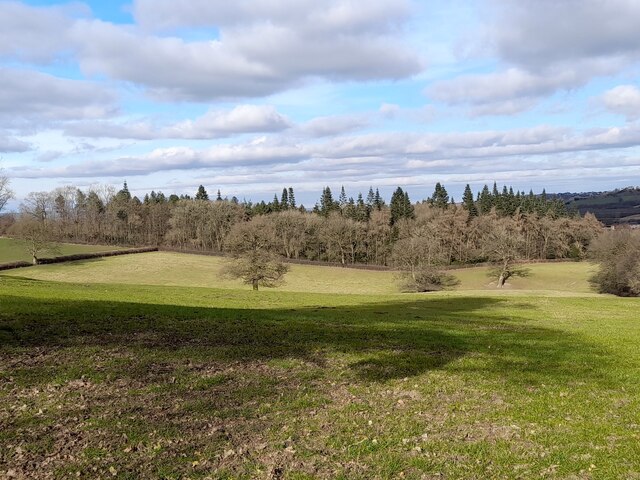
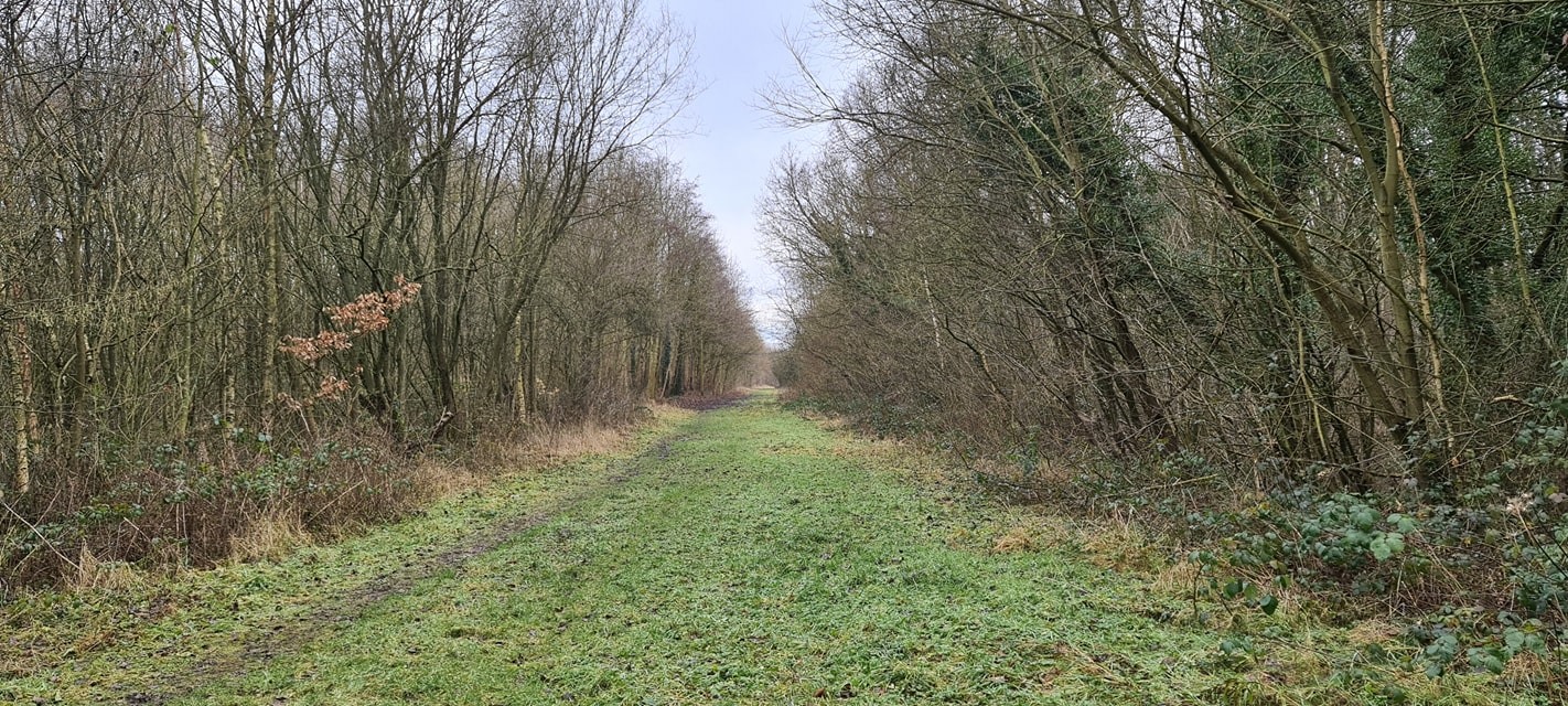
Common Wood is a picturesque forest located in Derbyshire, England. Spanning approximately 200 acres, it is renowned for its natural beauty and diverse ecosystem. The wood is predominantly composed of deciduous trees such as oak, beech, and birch, which create a stunning canopy of foliage during the summer months.
The forest is a popular destination for nature enthusiasts and hikers, offering a network of well-maintained trails that wind through the wood. These trails provide visitors with the opportunity to explore the serene surroundings and observe the abundant wildlife that calls Common Wood home. Squirrels, rabbits, and a variety of bird species are commonly spotted within the forest, while lucky visitors may even catch a glimpse of larger mammals such as deer and foxes.
Common Wood is not only a haven for flora and fauna, but also a valuable resource for the local community. Historically, the wood has been used as a source of timber and firewood, contributing to the local economy. Today, it continues to be managed sustainably, with careful consideration given to conservation and biodiversity.
In addition to its natural attractions, Common Wood offers amenities for visitors, including picnic areas and designated camping spots. These facilities allow families and outdoor enthusiasts to fully immerse themselves in the tranquil surroundings and experience the beauty of the forest firsthand.
Overall, Common Wood in Derbyshire is a captivating destination that showcases the beauty of the English countryside. With its diverse flora and fauna, well-maintained trails, and peaceful ambiance, it offers visitors a truly immersive and memorable woodland experience.
If you have any feedback on the listing, please let us know in the comments section below.
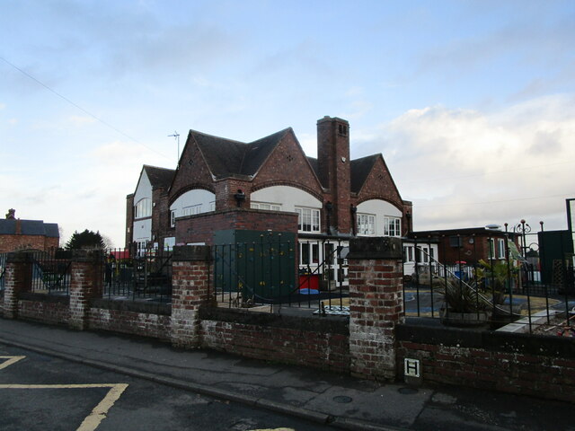
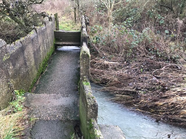
Common Wood Images
Images are sourced within 2km of 53.193595/-1.3022337 or Grid Reference SK4666. Thanks to Geograph Open Source API. All images are credited.


Common Wood is located at Grid Ref: SK4666 (Lat: 53.193595, Lng: -1.3022337)
Administrative County: Derbyshire
District: Bolsover
Police Authority: Derbyshire
What 3 Words
///taped.icicles.isolating. Near Glapwell, Derbyshire
Nearby Locations
Related Wikis
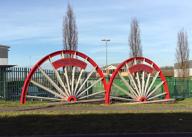
Glapwell railway station
Glapwell is a former railway station in Glapwell, Derbyshire, England. == Context == The station was built by the Midland Railway on the circuitous Barrow...

Doe Lea
Doe Lea is a small, linear village in the English county of Derbyshire. It is in the Bolsover district of the county and falls in the Ault Hucknall civil...

Rowthorn Tunnel
Rowthorn Tunnel is a former railway tunnel between Glapwell and Rowthorn and Hardwick stations southeast of Chesterfield, Derbyshire, England. Some sources...
Ault Hucknall
Ault Hucknall (Old English: Hucca's nook of land) is a village and civil parish in the Bolsover district of Derbyshire, England. The population of the...
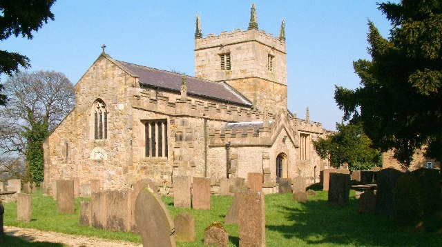
St John the Baptist's Church, Ault Hucknall
St John the Baptist's Church, Ault Hucknall, is a Grade I listed parish church in the Church of England in Ault Hucknall, Derbyshire. == History == The...

Glapwell
Glapwell is a village and civil parish on the A617 road in the Bolsover District of north-east Derbyshire, between the towns of Chesterfield (7 miles)...

Bramley Vale
Bramley Vale is a village in Derbyshire, England, south of Bolsover. It is in the civil parish of Ault Hucknall. == History == Bramley Vale is a former...

Stainsby Mill
Stainsby Mill is a 19th-century flour watermill in Doe Lea, Chesterfield, Derbyshire, England. The mill, which has been restored to full working order...
Nearby Amenities
Located within 500m of 53.193595,-1.3022337Have you been to Common Wood?
Leave your review of Common Wood below (or comments, questions and feedback).