Bramley Head

Settlement in Yorkshire Harrogate

England

Bramley Head

Thruscross Reservoir Old trees appear on the exposed side of the reservoir during a low water period.
Thruscross Reservoir Credit: Mick Melvin

Bramley Head is a small village located in the county of Yorkshire, England. Situated within the green and picturesque countryside, it lies approximately 10 miles west of the city of Leeds. With a population of around 1,500 residents, Bramley Head offers a peaceful and close-knit community atmosphere.

The village is known for its charming traditional architecture, featuring a mix of quaint cottages and larger stone-built houses. The local economy is mainly reliant on agriculture, with surrounding fields filled with crops and grazing livestock. This rural setting makes Bramley Head an ideal destination for those seeking a tranquil retreat from the hustle and bustle of urban life.

Although small in size, Bramley Head boasts a range of essential amenities for its residents. The village is home to a primary school, providing education for local children, as well as a small convenience store and a post office, ensuring that daily needs are easily met. For leisure activities, there are several well-maintained parks and green spaces, providing ample opportunities for outdoor recreation and relaxation.

The village also benefits from its proximity to the larger nearby town of Bramley, which offers a wider range of shops, restaurants, and services. Additionally, Bramley Head benefits from excellent transport links, with regular bus services connecting the village to nearby towns and cities.

Overall, Bramley Head is a charming rural village, offering a peaceful lifestyle and a strong sense of community. Its idyllic location, combined with essential amenities and convenient transport connections, make it an attractive place to live for those seeking a slower-paced and close-knit community atmosphere.

If you have any feedback on the listing, please let us know in the comments section below.
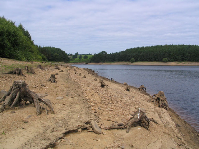
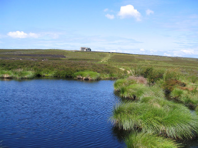
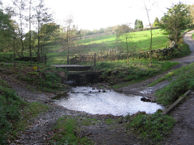
Bramley Head Images

Images are sourced within 2km of 54.020995/-1.803529 or Grid Reference SE1258. Thanks to Geograph Open Source API. All images are credited.

Thruscross Reservoir Old trees appear on the exposed side of the reservoir during a low water period.
Thruscross Reservoir
Old trees appear on the exposed side of the reservoir during a low water period.
Harry's Dam Harry's Dam is a man made fishpond.
Harry's Dam
Harry's Dam is a man made fishpond.
Thruscross Rocking Moor The buildings at Hard Ing taken from the track to Rocking Hall near to Green Sike.
Thruscross Rocking Moor
The buildings at Hard Ing taken from the track to Rocking Hall near to Green Sike.
Rocking Hall Rocking Hall is a very well built stone shooting hut, in the land census of 1822 it is described as (a Shooting Box of Mr. Nicholson)
Rocking Hall
Rocking Hall is a very well built stone shooting hut, in the land census of 1822 it is described as (a Shooting Box of Mr. Nicholson)
Spittal Ings House A farm on the Dales Way link near Thruscross reservoir
Spittal Ings House
A farm on the Dales Way link near Thruscross reservoir
Stile at Near Comb Hill The large stile at Near Comb Hill close to Thruscross Reservoir, the Grouse Butts can be seen in the middle distance.
Stile at Near Comb Hill
The large stile at Near Comb Hill close to Thruscross Reservoir, the Grouse Butts can be seen in the middle distance.
Footbridge over River Washburn The concrete footbridge across the River Washburn erected by Yorkshire Water, who are to be commended for the improved access which they have brought to the area.
Footbridge over River Washburn
The concrete footbridge across the River Washburn erected by Yorkshire Water, who are to be commended for the improved access which they have brought to the area.
Duke's Hill A dilapidated barn stands in a field at the top of Duke's Hill in the Washburn Valley.
Duke's Hill
A dilapidated barn stands in a field at the top of Duke's Hill in the Washburn Valley.
Old Mill West End Village The Old Textile Mill at the head of Thruscross Reservoir. At the time that the picture was taken the Reservoir was very low and much more of the mill than is usual was visible.
The mill stood at the entrance to the village of West End which was flooded in 1966 in order to construct the reservoir. Standing high on a hill above the mill are the ruins of an old chapel which escaped the flooding due to its elevation.
Old Mill West End Village
The Old Textile Mill at the head of Thruscross Reservoir. At the time that the picture was taken the Reservoir was very low and much more of the mill than is usual was visible. The mill stood at the entrance to the village of West End which was flooded in 1966 in order to construct the reservoir. Standing high on a hill above the mill are the ruins of an old chapel which escaped the flooding due to its elevation.
Foulgate Bank
Foulgate Bank
Lowcock Stoop
Lowcock Stoop
Red Gate At the bend in Hoodstorth Lane,
this track heads up onto open moorland.
Red Gate
At the bend in Hoodstorth Lane, this track heads up onto open moorland.
Capelshaw Beck Ford through the beck at Bramley Head.
The beck flows into Thruscross Reservoir to the east.
Capelshaw Beck
Ford through the beck at Bramley Head. The beck flows into Thruscross Reservoir to the east.
Footbridge 'over'  River Washburn Heavy rainfall earlier in the month was probably responsible for this.
Crossing the river was challenging!
Footbridge 'over' River Washburn
Heavy rainfall earlier in the month was probably responsible for this. Crossing the river was challenging!
Rocking Hall and the Rocking Stone looking north
The Rocking Stone at Rocking Hall looking north
Erosion on the top surface of the Rocking Stone
Thruscross Reservoir and Menwith Hill Radomes looking east from Rocking Hall
Show me another place!

Bramley Head is located at Grid Ref: SE1258 (Lat: 54.020995, Lng: -1.803529)

Division: West Riding

Administrative County: North Yorkshire

District: Harrogate

Police Authority: North Yorkshire

What 3 Words

///spotted.reply.fond. Near Pateley Bridge, North Yorkshire

Related Wikis

Thruscross Reservoir

Thruscross Reservoir is the northernmost of four reservoirs in the Washburn valley, lying north of Otley and west of Harrogate in North Yorkshire, England...

Thruscross

Thruscross is a small settlement and civil parish in the Harrogate district of North Yorkshire, England. It lies in the Washburn Valley, 11 miles (18...

Kex Gill Bypass

The Kex Gill Bypass is a future stretch of A-road across Kex Gill Moor to Blubberhouses in North Yorkshire, England. The route is part of the A59 road...

Thornthwaite, North Yorkshire

Thornthwaite is a small village in the Harrogate district of North Yorkshire, England. It lies in the valley of Padside Beck, a side valley on the south...

Blubberhouses

Blubberhouses is a small village and civil parish in the Washburn Valley in North Yorkshire, England. The population as at the 2011 Census was less than...

Hazlewood with Storiths

Hazlewood with Storiths is a civil parish in the Craven district of North Yorkshire, England. The population of the civil parish as of the 2011 census...

Simon's Seat

Simon's Seat is a peak in the Yorkshire Dales in northern England. It is a prominent outcrop of millstone grit on the eastern side of Wharfedale. Although...

HMS Forest Moor

HMS Forest Moor was a Royal Navy land base located in Nidderdale in the borough of Harrogate, North Yorkshire, England. == History == The establishment...

Nearby Amenities

Located within 500m of 54.020995,-1.803529
The data included in this document is from www.openstreetmap.org. The data is made available under ODbL.

Have you been to Bramley Head?

Leave your review of Bramley Head below (or comments, questions and feedback).