White Ness
Settlement in Shetland
Scotland
White Ness
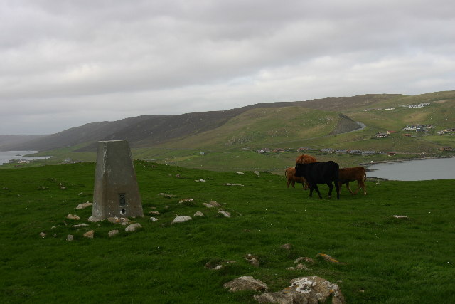
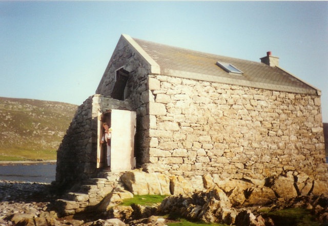
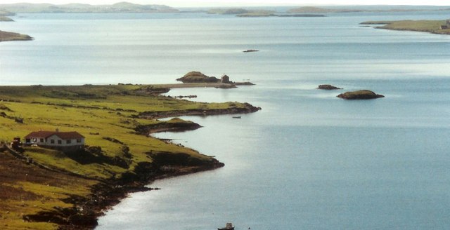
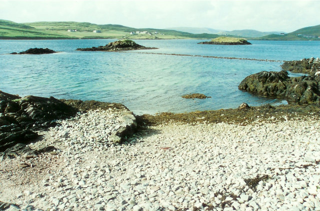
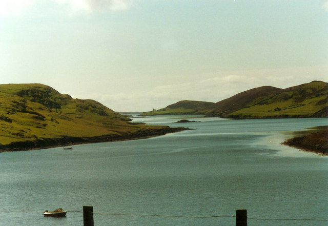
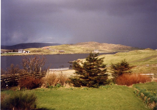
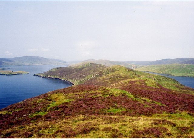
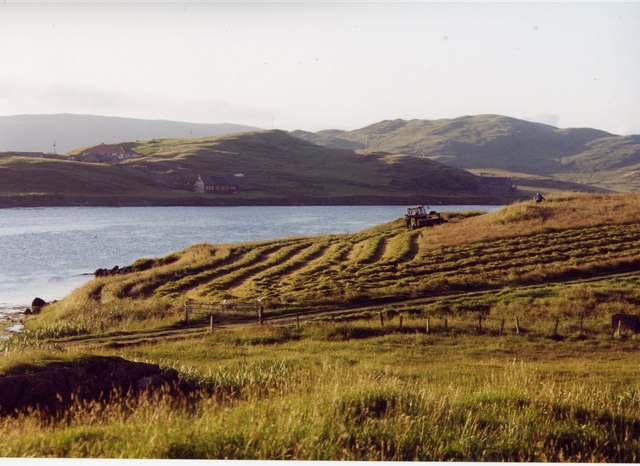
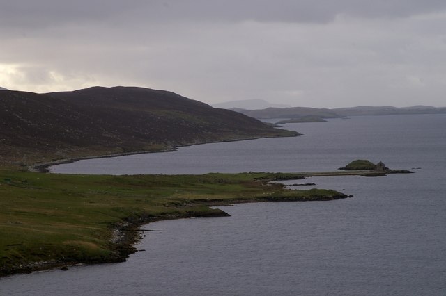
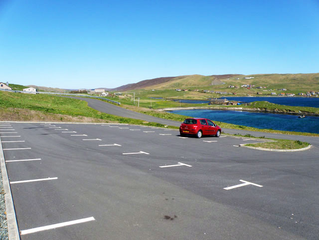
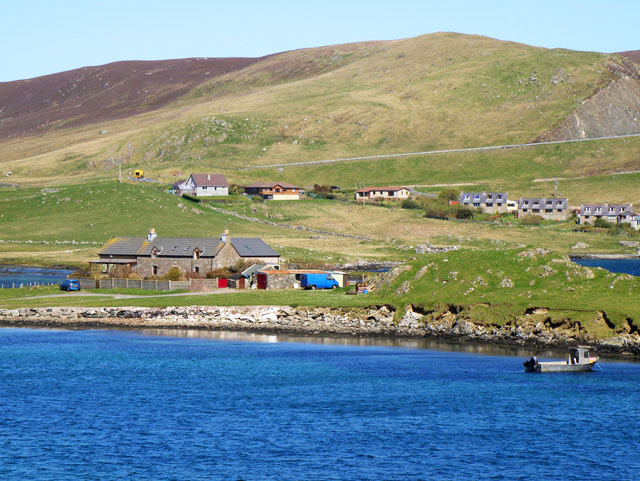
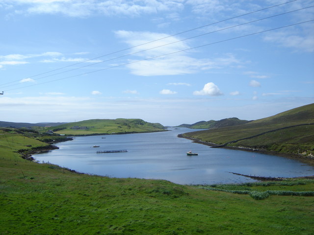
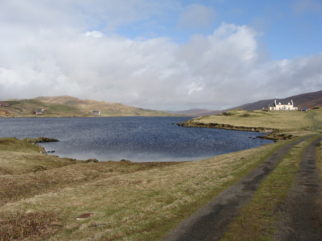
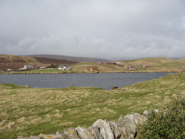
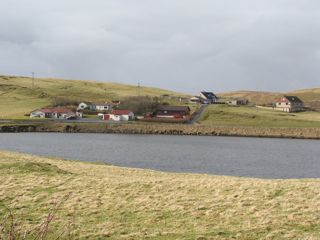
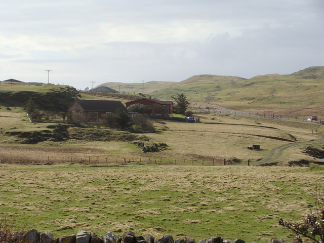
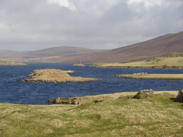
White Ness is a picturesque coastal location situated on the island of Shetland, located off the northeast coast of mainland Scotland. This stunning area is renowned for its rugged beauty and dramatic cliffs, offering awe-inspiring views of the North Sea.
White Ness is characterized by its pristine white sandy beaches, which are a rarity in Shetland. The beach is nestled between towering cliffs that provide a natural barrier against the elements, creating a secluded and tranquil atmosphere. The crystal-clear turquoise waters, when combined with the golden sands, create a truly breathtaking sight.
The area is rich in wildlife, with a variety of seabirds, including puffins, fulmars, and kittiwakes, making their homes along the cliffs. Visitors can enjoy birdwatching and observe these fascinating creatures in their natural habitat. Additionally, seals and otters can often be spotted swimming in the surrounding waters.
White Ness is a haven for outdoor enthusiasts, offering a range of activities such as hiking, coastal walks, and picnicking. The cliffs provide excellent opportunities for rock climbing, while the beach is perfect for sunbathing, beachcombing, and building sandcastles. The calm waters are also ideal for swimming and snorkeling, allowing visitors to appreciate the marine life beneath the surface.
With its unspoiled beauty and peaceful ambiance, White Ness is a must-visit destination for those seeking a serene and idyllic coastal experience. Whether exploring the cliffs, enjoying the beach, or admiring the wildlife, this enchanting location offers a truly unforgettable experience amidst nature's wonders.
If you have any feedback on the listing, please let us know in the comments section below.
White Ness Images
Images are sourced within 2km of 60.192114/-1.2994717 or Grid Reference HU3845. Thanks to Geograph Open Source API. All images are credited.
White Ness is located at Grid Ref: HU3845 (Lat: 60.192114, Lng: -1.2994717)
Unitary Authority: Shetland Islands
Police Authority: Highlands and Islands
What 3 Words
///married.providing.football. Near Scalloway, Shetland Islands
Nearby Locations
Related Wikis

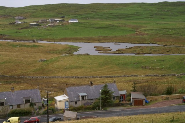
Whiteness, Shetland
Whiteness (Old Norse: Hvitanes, white headland) is a village in Tingwall parish, Shetland Islands, Scotland, on Mainland. It is also an ancient civil parish...

Hoy, Shetland
Hoy (Háey, Old Norse for 'high island') is a small island in Weisdale Voe, an arm of the sea in the Shetland islands, Scotland. Nearby are the smaller...

Flotta, Shetland
Flotta (grid reference HU375462) is an island off the south west of Mainland, Shetland. The name may come from the Old Norse, flatey meaning flat island...

Setter Hill, Tingwall
Setter Hill is a hill in Tingwall, Shetland, Scotland. == References ==
Greena
Greena is a small island off the west coast of Mainland, Shetland. It is 10m at its highest point, and is north of Flotta, Shetland. It is in Weisdale...
Tingwall Airport
Tingwall Airport (IATA: LWK, ICAO: EGET), also known as Lerwick/Tingwall Airport, is located in the Tingwall valley, near the village of Gott, 4 NM (7...
North Havra
North Havra (Old Norse: Hafrey, ocean island) is a small island off south west Shetland. It is 30 metres at its highest point. Situated 1/3 mile from the...

Law Ting Holm
Law Ting Holm (also known as Tingaholm) is a small promontory at the north end of the freshwater Loch of Tingwall, Mainland Shetland, Scotland. It was...
Nearby Amenities
Located within 500m of 60.192114,-1.2994717Have you been to White Ness?
Leave your review of White Ness below (or comments, questions and feedback).