Burra Holm

Island in Shetland

Scotland

Burra Holm

Trig point Known to the Ordnance Survey as White Ness
Trig point Credit: Iain Macaulay

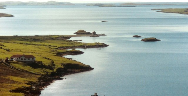
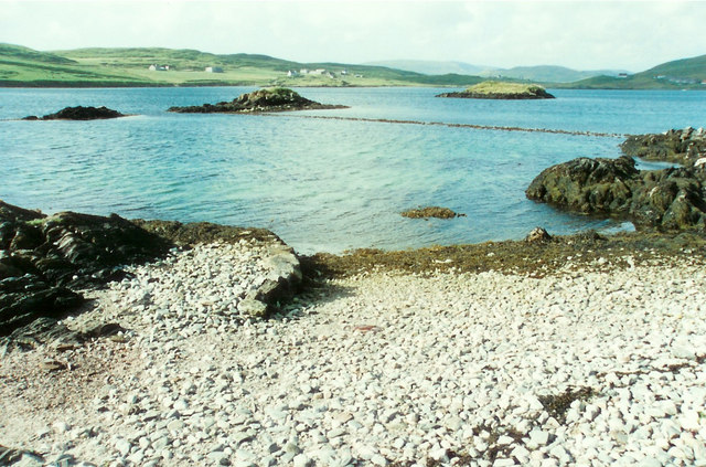
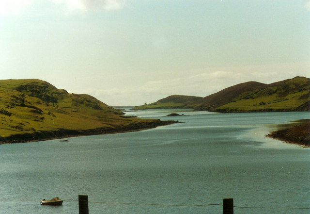
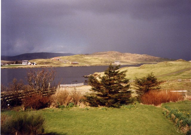
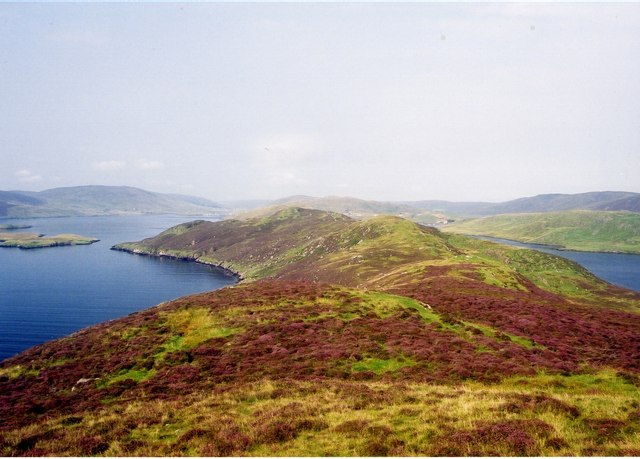
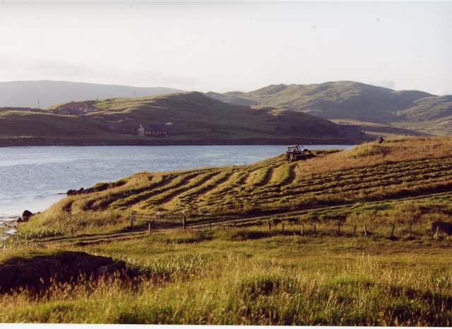
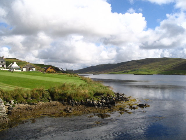
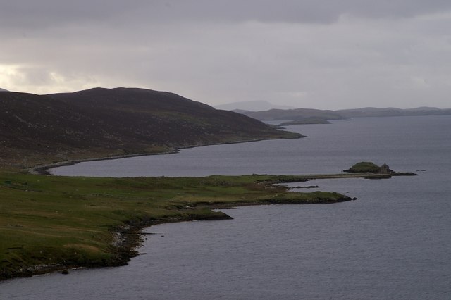
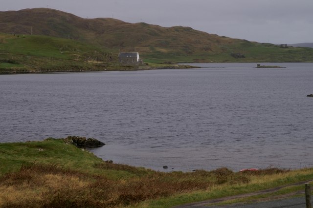
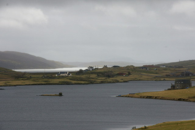
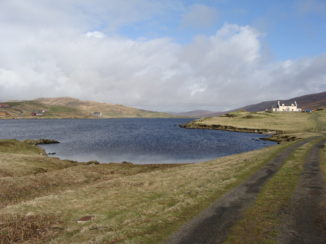
Burra Holm is a small island located in the Shetland archipelago, off the northeast coast of Scotland. It is situated approximately 10 miles northeast of the town of Lerwick. The island covers an area of about 80 acres and is predominantly characterized by rugged coastal cliffs and rocky shores.

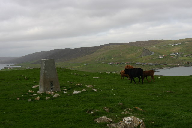
Despite its small size, Burra Holm boasts a diverse and unique ecosystem. The island is home to numerous seabird colonies, including puffins, guillemots, and razorbills. These bird populations thrive due to the abundance of food found in the surrounding waters. Visitors to the island can witness these impressive colonies during the nesting season, which typically occurs between April and August.

In addition to its wildlife, Burra Holm is also known for its historic lighthouse. The lighthouse was constructed in 1964 and stands at a height of 19 meters. It serves as an important navigational aid for ships passing through the treacherous waters of the North Sea. The lighthouse is automated and operated remotely by the Northern Lighthouse Board.

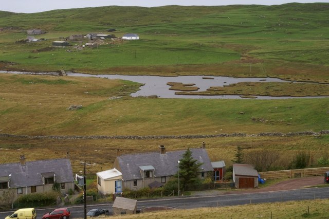
Access to Burra Holm is restricted due to its status as a nature reserve. However, visitors can observe the island from boat tours or by walking along the nearby coastal paths. The island offers breathtaking views of the surrounding Shetland landscape, with its dramatic cliffs and the vast expanse of the North Sea.

Overall, Burra Holm is a haven for wildlife enthusiasts and those seeking a glimpse of Shetland’s natural beauty. Its remote location and untouched landscapes make it a truly special place within the archipelago.

If you have any feedback on the listing, please let us know in the comments section below.
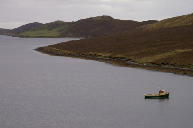
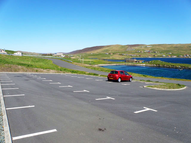
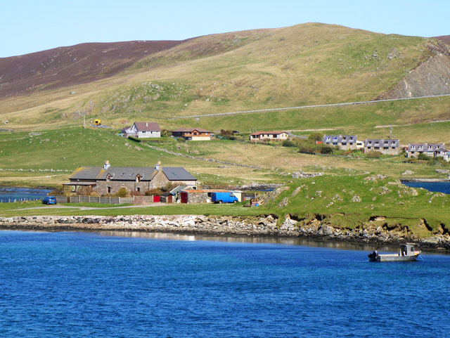
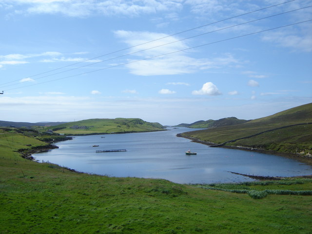
Burra Holm Images

Images are sourced within 2km of 60.194924/-1.3063011 or Grid Reference HU3845. Thanks to Geograph Open Source API. All images are credited.

Trig point Known to the Ordnance Survey as White Ness
Trig point
Known to the Ordnance Survey as White Ness
Bod of Nesbister The camping Bod at Nesbister, formerly a fishing station
Bod of Nesbister
The camping Bod at Nesbister, formerly a fishing station
Nesbister Nesbister looking out on the Bod of Nesbister, with Burra and the Scalloway isles in the distance. There is an ancient tidal Pictish causeway below the sea between the Bod isles and the land.
Nesbister
Nesbister looking out on the Bod of Nesbister, with Burra and the Scalloway isles in the distance. There is an ancient tidal Pictish causeway below the sea between the Bod isles and the land.
Pictish Causeway at Nesbister This ancient Pictish causeway near the Bod of Nesbister can only be seen at low tide.
Pictish Causeway at Nesbister
This ancient Pictish causeway near the Bod of Nesbister can only be seen at low tide.
Stromness Voe Stromness Voe with the Ness on the right. The house in the distance is Jackville, accessible only by foot or boat.
Stromness Voe
Stromness Voe with the Ness on the right. The house in the distance is Jackville, accessible only by foot or boat.
View over the Loch of Strom, Whiteness, Shetland Taken from a house (through the window, hence the streak on the left of the image) located at the south end of the Loch of Strom.  Hogaland is just off the right-hand side of the photo. There are a few more buildings now on the far side of the loch, but it has changed little other than that.
View over the Loch of Strom, Whiteness, Shetland
Taken from a house (through the window, hence the streak on the left of the image) located at the south end of the Loch of Strom. Hogaland is just off the right-hand side of the photo. There are a few more buildings now on the far side of the loch, but it has changed little other than that.
Strom Ness from Hill of Olligarth This ness is flanked by Stromness Voe (the water to the left of the picture) and the entrance to Weisdale Voe.  In the distance can be seen houses in the village of Hamnavoe. Don't be fooled into thinking you're in Orkney - this Strom Ness is definitely in Shetland!
Strom Ness from Hill of Olligarth
This ness is flanked by Stromness Voe (the water to the left of the picture) and the entrance to Weisdale Voe. In the distance can be seen houses in the village of Hamnavoe. Don't be fooled into thinking you're in Orkney - this Strom Ness is definitely in Shetland!
Making hay while the sun shines, Hogaland ...and never is that expression more apt than in Shetland!  The summer days are long, but the season is short, so there's plenty to be done on a bonny day.
Making hay while the sun shines, Hogaland
...and never is that expression more apt than in Shetland! The summer days are long, but the season is short, so there's plenty to be done on a bonny day.
Loch of Strom viewed from Strom Bridge The bridge crosses the narrows connecting the Loch of Strom to Stromness Voe. Visible in the loch are the three islands of the Holms of Hogaland and the ruins of a ruined island castle connected to the mainland by causeway.
Loch of Strom viewed from Strom Bridge
The bridge crosses the narrows connecting the Loch of Strom to Stromness Voe. Visible in the loch are the three islands of the Holms of Hogaland and the ruins of a ruined island castle connected to the mainland by causeway.
Nesbister The head of Whiteness Voe.
Nesbister
The head of Whiteness Voe.
The Vadill, Whiteness Voe A vadill is a place that is shallow enough to be waded across.
The Vadill, Whiteness Voe
A vadill is a place that is shallow enough to be waded across.
Loch of Strom This brackish water loch is tidal.
Loch of Strom
This brackish water loch is tidal.
Stromness Voe
Stromness Voe
Car park for the new burial ground
House by Mousa Ness In the distance can just be seen the A971 climbing the hill.
House by Mousa Ness
In the distance can just be seen the A971 climbing the hill.
Stromness Voe A classic Shetland voe - which is a drowned valley or inlet rather like a Norwegian fjord
Stromness Voe
A classic Shetland voe - which is a drowned valley or inlet rather like a Norwegian fjord
Loch of Strom The lochside kirk and the small home, with the ruins of a mysterious castle, about which I have discovered nothing.
Loch of Strom
The lochside kirk and the small home, with the ruins of a mysterious castle, about which I have discovered nothing.
Loch of Strom from the track to Hogaland
Show me another place!

Burra Holm is located at Grid Ref: HU3845 (Lat: 60.194924, Lng: -1.3063011)

Unitary Authority: Shetland Islands

Police Authority: Highlands and Islands

What 3 Words

///jeeps.furniture.sprain. Near Scalloway, Shetland Islands

Related Wikis

Flotta, Shetland

Flotta (grid reference HU375462) is an island off the south west of Mainland, Shetland. The name may come from the Old Norse, flatey meaning flat island...

Hoy, Shetland

Hoy (Háey, Old Norse for 'high island') is a small island in Weisdale Voe, an arm of the sea in the Shetland islands, Scotland. Nearby are the smaller...

Whiteness, Shetland

Whiteness (Old Norse: Hvitanes, white headland) is a village in Tingwall parish, Shetland Islands, Scotland, on Mainland. It is also an ancient civil parish...

Greena

Greena is a small island off the west coast of Mainland, Shetland. It is 10m at its highest point, and is north of Flotta, Shetland. It is in Weisdale...

Setter Hill, Tingwall

Setter Hill is a hill in Tingwall, Shetland, Scotland. == References ==

Tingwall Airport

Tingwall Airport (IATA: LWK, ICAO: EGET), also known as Lerwick/Tingwall Airport, is located in the Tingwall valley, near the village of Gott, 4 NM (7...

North Havra

North Havra (Old Norse: Hafrey, ocean island) is a small island off south west Shetland. It is 30 metres at its highest point. Situated 1/3 mile from the...

Law Ting Holm

Law Ting Holm (also known as Tingaholm) is a small promontory at the north end of the freshwater Loch of Tingwall, Mainland Shetland, Scotland. It was...

Nearby Amenities

Located within 500m of 60.194924,-1.3063011
Stromness
Place: locality
Lat/Long: 60.1943791/-1.3100582
Power: pole
Lat/Long: 60.1938927/-1.2978163
Power: pole
Lat/Long: 60.194414/-1.2974891
Power: pole
Lat/Long: 60.1944193/-1.2980228
Power: pole
Lat/Long: 60.1938562/-1.2984946
Bus Stop
South Whiteness
Public Transport: platform
Lat/Long: 60.1924314/-1.2992379
The data included in this document is from www.openstreetmap.org. The data is made available under ODbL.

Have you been to Burra Holm?

Leave your review of Burra Holm below (or comments, questions and feedback).