White Notley
Settlement in Essex Braintree
England
White Notley
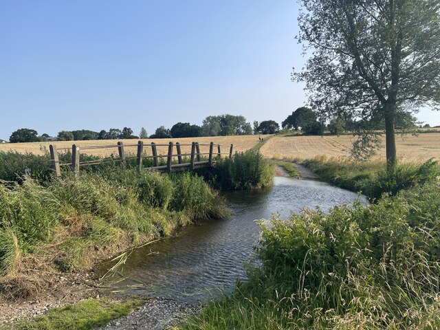
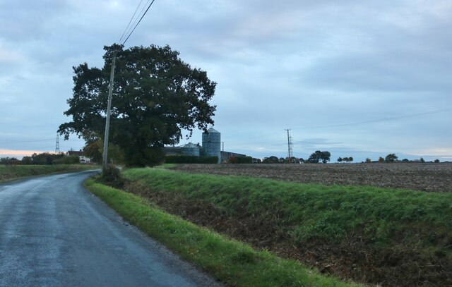
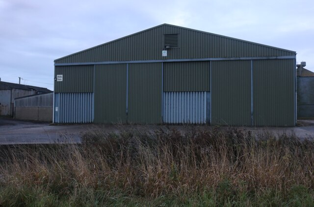
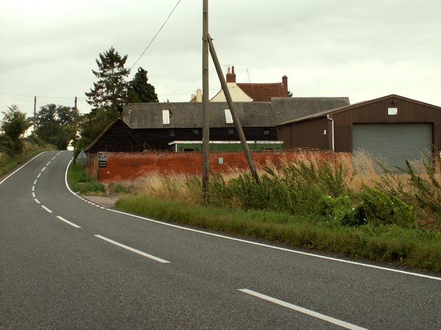
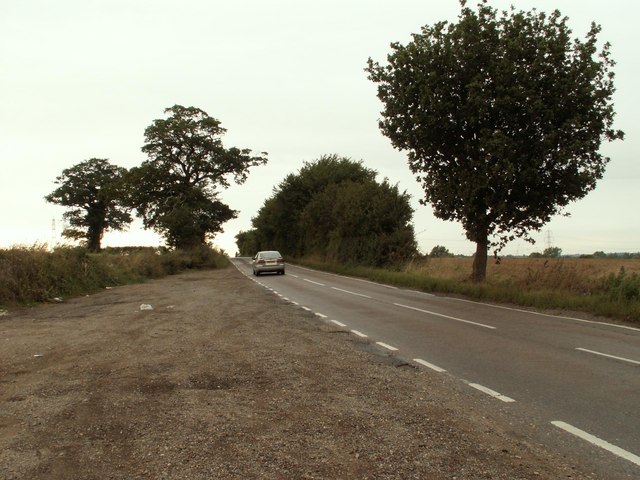
White Notley is a small village located in Essex, England. It is situated about 6 miles northeast of the town of Braintree and approximately 45 miles northeast of London. The village is known for its picturesque countryside, with rolling fields and charming old cottages dotting the landscape.
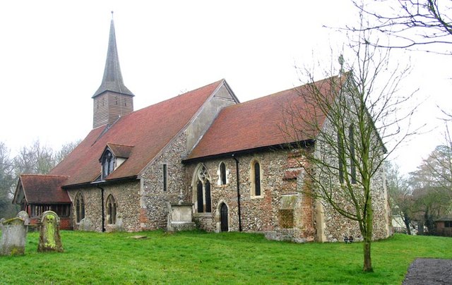
White Notley has a long history, with evidence of human settlement dating back to Roman times. The village is home to a historic church, St. Ethelbert's, which dates back to the 12th century and is a Grade I listed building. The church features beautiful stained glass windows and a peaceful churchyard.
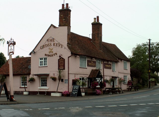
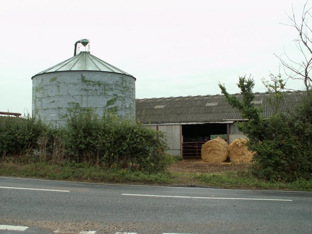
The village has a close-knit community, with a village hall, primary school, and a pub, The Compasses, serving as gathering places for residents. White Notley also benefits from being close to the larger town of Braintree, where residents can access a wider range of amenities and services.
Overall, White Notley offers a tranquil and idyllic countryside setting, perfect for those seeking a peaceful rural lifestyle within easy reach of larger towns and cities.
If you have any feedback on the listing, please let us know in the comments section below.
White Notley Images
Images are sourced within 2km of 51.835481/0.59070149 or Grid Reference TL7818. Thanks to Geograph Open Source API. All images are credited.


White Notley is located at Grid Ref: TL7818 (Lat: 51.835481, Lng: 0.59070149)
Administrative County: Essex
District: Braintree
Police Authority: Essex
What 3 Words
///insisting.outgoing.shave. Near Black Notley, Essex
Nearby Locations
Related Wikis
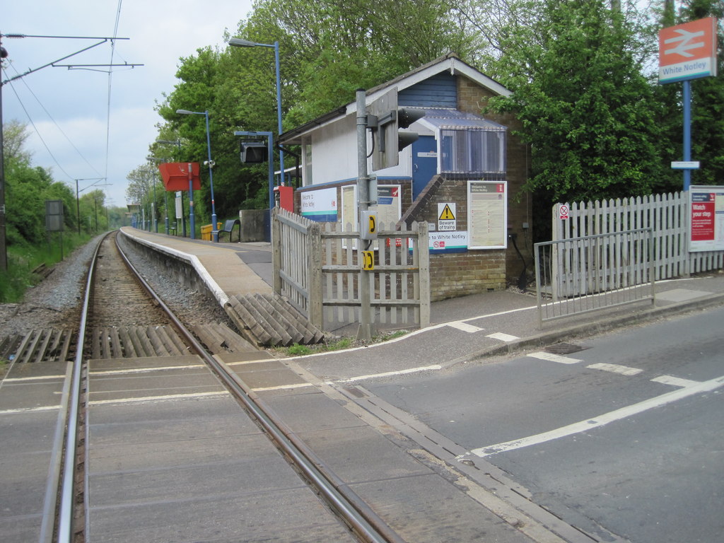
White Notley railway station
White Notley railway station is on the Braintree Branch Line in the East of England, serving the village of White Notley, Essex. It is 41 miles 60 chains...
White Notley
White Notley is a parish in Essex, England. The settlement (which includes the outlying hamlet of The Green) lies equidistant between the towns of Witham...

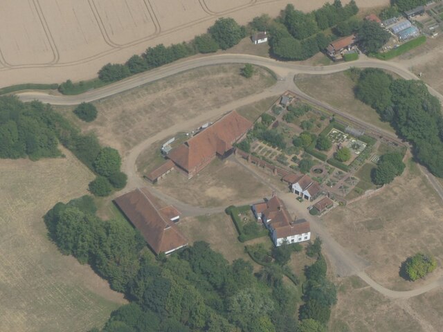
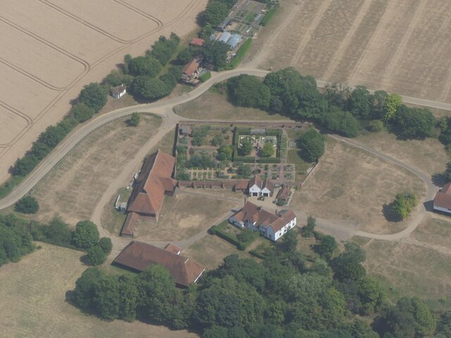
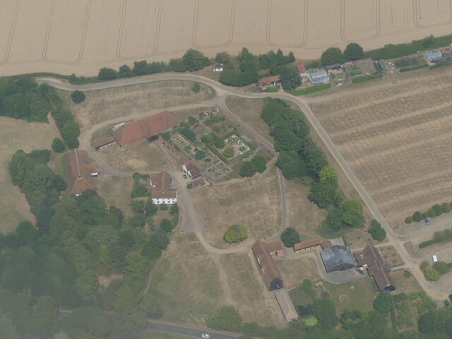
Cressing Temple
Cressing Temple is a medieval site situated between Witham and Braintree in Essex, close to the villages of Cressing and White Notley. It was amongst the...
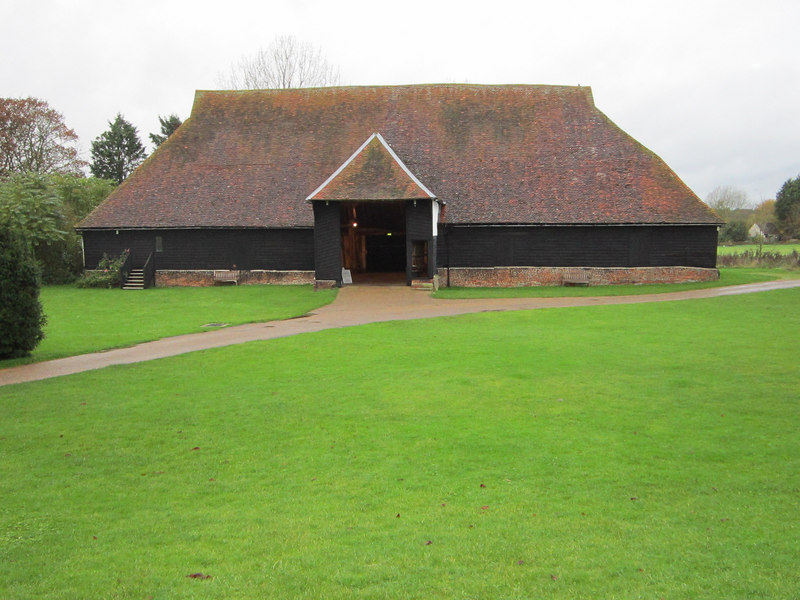
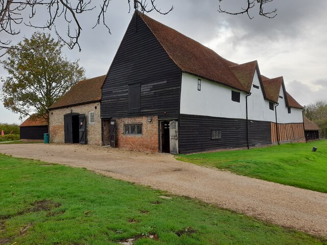
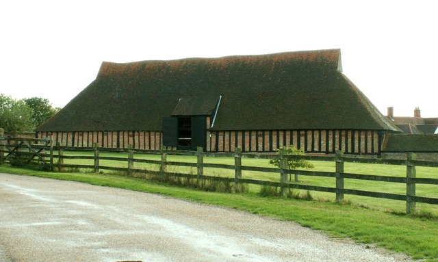
The Barley Barn
The Barley Barn is an architecturally important medieval barn, part of a complex of farm buildings at Cressing Temple, Essex, England. The barn was built...
Nearby Amenities
Located within 500m of 51.835481,0.59070149Have you been to White Notley?
Leave your review of White Notley below (or comments, questions and feedback).