White Oak

Settlement in Kent Sevenoaks

England

White Oak

Birchwood Road towards Dartford
Birchwood Road towards Dartford Credit: JThomas

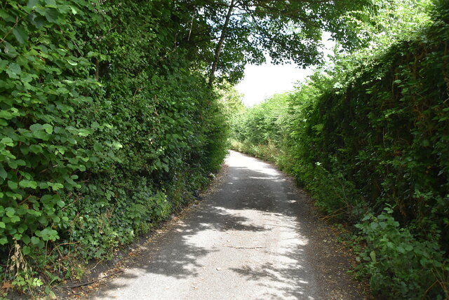
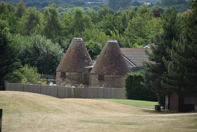
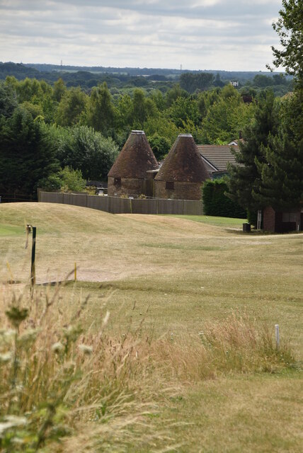
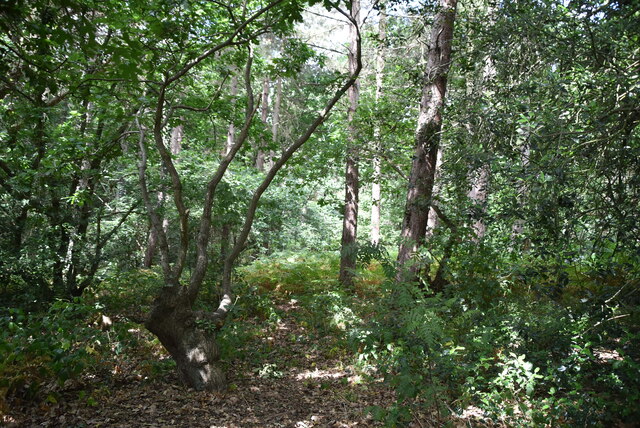
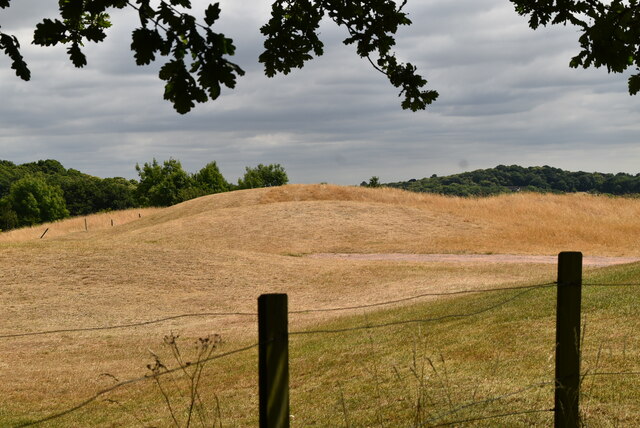
White Oak is a small village located in the county of Kent, England. Situated near the larger town of Swanley, White Oak is known for its picturesque countryside and charming rural atmosphere. The village is surrounded by lush green fields and woodlands, making it a popular destination for nature lovers and outdoor enthusiasts.

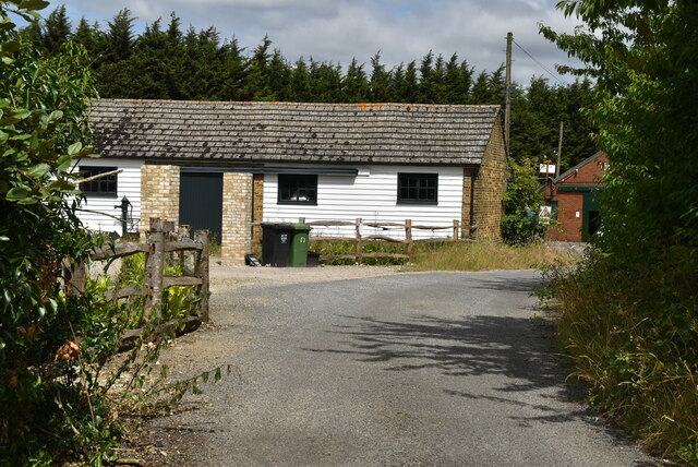
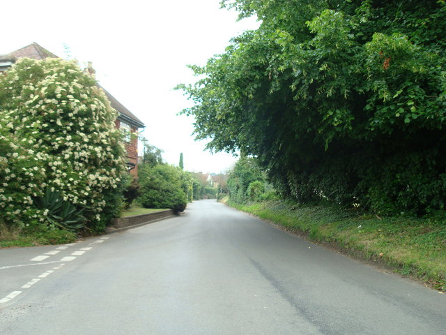
White Oak is home to a close-knit community, with a mix of traditional cottages and modern houses. The village has a primary school, a church, and a few local shops and pubs, providing residents with all the essential amenities they need. The village also has good transport links, with regular bus services connecting it to nearby towns and cities.

Residents of White Oak enjoy a peaceful way of life, away from the hustle and bustle of urban areas. The village is a great place for those looking to escape the city and enjoy a slower pace of living. With its beautiful surroundings and strong sense of community, White Oak offers a truly idyllic setting for those looking to put down roots in the Kent countryside.

If you have any feedback on the listing, please let us know in the comments section below.
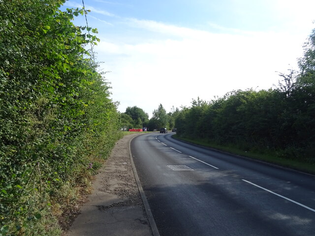
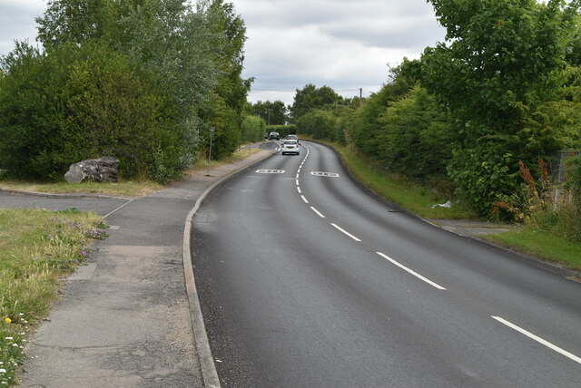
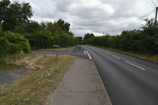
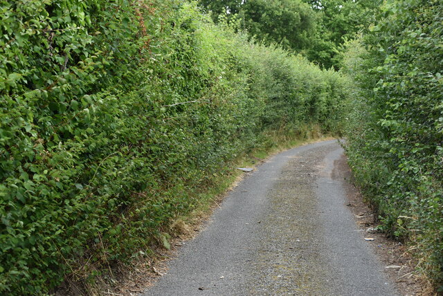
White Oak Images

Images are sourced within 2km of 51.400205/0.15494096 or Grid Reference TQ5069. Thanks to Geograph Open Source API. All images are credited.

Birchwood Road towards Dartford
Birchwood Rd
Birchwood Rd
Birchwood Rd
Birchwood Rd
Stonehill Green
Stonehill Green
Stonehill Green
Stonehill Green
Stonehill Farm
Stonehill Farm
Barn, Stonehill Farm
The Forge
The Forge
Birchwood Park Golf Course Website: <span class="nowrap"><a title="www.birchwoodparkgc.co.uk/" rel="nofollow ugc noopener" href="http://www.birchwoodparkgc.co.uk/">Link</a><img style="margin-left:2px;" alt="External link" title="External link - shift click to open in new window" src="https://s1.geograph.org.uk/img/external.png" width="10" height="10"/></span>
Birchwood Park Golf Course
Website: LinkExternal link
Pond, Stonehill Green
Stonehill Green
Stonehill Green
Stonehill Green
Stonehill Green
Oast, Birchwood Park Golf Centre Buildings made to look like oast houses.
Oast, Birchwood Park Golf Centre
Buildings made to look like oast houses.
Oast, Birchwood Park Golf Centre Buildings made to look like oast houses.
Oast, Birchwood Park Golf Centre
Buildings made to look like oast houses.
Entering Joyden Wood A Woodland Trust site in Dartford borough, opened to the public in 1988.  Close to the A2 and A20 trunk roads,this remains a natural ancient woodland and contains visible remains of the ancient "Faesten Dic" (strong dyke), an Anglo-Saxon (or possibly older) defensive ditch.  It is approximately 130 hectares in area and contains many tracks and paths; the main tracks are open to horses and cyclists.
Entering Joyden Wood
A Woodland Trust site in Dartford borough, opened to the public in 1988. Close to the A2 and A20 trunk roads,this remains a natural ancient woodland and contains visible remains of the ancient "Faesten Dic" (strong dyke), an Anglo-Saxon (or possibly older) defensive ditch. It is approximately 130 hectares in area and contains many tracks and paths; the main tracks are open to horses and cyclists.
Joyden Wood A Woodland Trust site in Dartford borough, opened to the public in 1988.  Close to the A2 and A20 trunk roads,this remains a natural ancient woodland and contains visible remains of the ancient "Faesten Dic" (strong dyke), an Anglo-Saxon (or possibly older) defensive ditch.  It is approximately 130 hectares in area and contains many tracks and paths; the main tracks are open to horses and cyclists.
Joyden Wood
A Woodland Trust site in Dartford borough, opened to the public in 1988. Close to the A2 and A20 trunk roads,this remains a natural ancient woodland and contains visible remains of the ancient "Faesten Dic" (strong dyke), an Anglo-Saxon (or possibly older) defensive ditch. It is approximately 130 hectares in area and contains many tracks and paths; the main tracks are open to horses and cyclists.
Joyden Wood
Joyden Wood
Birchwood Park Golf Course Website: <span class="nowrap"><a title="www.birchwoodparkgc.co.uk/" rel="nofollow ugc noopener" href="http://www.birchwoodparkgc.co.uk/">Link</a><img style="margin-left:2px;" alt="External link" title="External link - shift click to open in new window" src="https://s1.geograph.org.uk/img/external.png" width="10" height="10"/></span>
Birchwood Park Golf Course
Website: LinkExternal link
Show me another place!

White Oak is located at Grid Ref: TQ5069 (Lat: 51.400205, Lng: 0.15494096)

Administrative County: Kent

District: Sevenoaks

Police Authority: Kent

What 3 Words

///plots.above.posts. Near Swanley, Kent

Nearby Locations

White Oak

Related Wikis

Hockenden

Hockenden is a rural hamlet of South East London, within the London Borough of Bromley. It is located between Swanley and St Mary Cray, adjacent to the...

Orchards Academy

Orchards Academy (formerly Swanley Comprehensive School and then Swanley Technology College) is a mixed comprehensive secondary school located in Swanley...

Eltham Palace F.C.

Eltham Palace Football Club was a football club based in Chislehurst, Greater London, England. == History == The club was established in 1961. By the late...

Stansfeld F.C.

Stansfeld Oxford & Bermondsey Club Football Club is a football club based in Chislehurst, Greater London, England. They are currently members of the Southern...

Nearby Amenities

Located within 500m of 51.400205,0.15494096
Turning Circle
Lat/Long: 51.3997637/0.1588889
Turning Circle
Lat/Long: 51.4018634/0.161411
Barrier: bollard
Bollard: fixed
Maxwidth Physical: 0.52
Lat/Long: 51.3999938/0.1591805
Barrier: cycle_barrier
Cycle Barrier: double
Opening: 1.3
Overlap: 1.27
Spacing: 0.78
Lat/Long: 51.4009462/0.1560289
Barrier: bollard
Maxwidth Physical: 1.1
Lat/Long: 51.40007/0.1574828
Barrier: cycle_barrier
Bicycle: no
Cycle Barrier: double
Cycle Barrier Installation: fixed
Foot: yes
Opening: 0.75
Overlap: 0.72
Spacing: 0.73
Lat/Long: 51.4011657/0.1610111
Barrier: cycle_barrier
Cycle Barrier: tilted
Cycle Barrier Installation: fixed
Material: metal
Maxwidth Physical: 0.65
Lat/Long: 51.4001214/0.1584987
Post Box
Mapillary: 179369690740228
Post Box Type: pillar
Ref: BR8 143
Survey Date: 2020-05-12
Lat/Long: 51.4021092/0.1501627
Entrance: yes
Lat/Long: 51.3987291/0.1611761
Entrance: yes
Lat/Long: 51.3987791/0.1611924
Entrance: yes
Lat/Long: 51.3988595/0.1612209
Entrance: yes
Lat/Long: 51.3989069/0.1612332
Entrance: yes
Lat/Long: 51.3989861/0.1612576
Entrance: yes
Lat/Long: 51.3990376/0.1612693
Addr City: Swanley
Addr Housenumber: 16
Addr Street: Farm Avenue
Entrance: yes
Source: survey;Bing
Survey Date: 2013-11-02
Lat/Long: 51.398608/0.1597301
Addr City: Swanley
Addr Housenumber: 18
Addr Street: Farm Avenue
Entrance: yes
Source: survey;Bing
Survey Date: 2013-11-02
Lat/Long: 51.3985322/0.1597185
Barrier: cycle_barrier
Cycle Barrier: double
Cycle Barrier Installation: openable
Foot: yes
Material: wood
Opening: 0.83
Overlap: 0.31
Spacing: 0.67
Lat/Long: 51.4032507/0.158673
Generator Method: photovoltaic
Generator Orientation: 180
Generator Output Electricity: yes
Generator Source: solar
Generator Type: solar_photovoltaic_panel
Location: roof
Power: generator
Lat/Long: 51.4012807/0.159561
Generator Method: photovoltaic
Generator Orientation: 90
Generator Output Electricity: yes
Generator Source: solar
Generator Type: solar_photovoltaic_panel
Location: roof
Power: generator
Lat/Long: 51.4003279/0.1605266
Generator Method: photovoltaic
Generator Orientation: 270
Generator Output Electricity: yes
Generator Source: solar
Generator Type: solar_photovoltaic_panel
Location: roof
Power: generator
Lat/Long: 51.4003265/0.1604647
Generator Method: photovoltaic
Generator Orientation: 190
Generator Output Electricity: yes
Generator Source: solar
Generator Type: solar_photovoltaic_panel
Location: roof
Power: generator
Lat/Long: 51.3999185/0.1613038
Generator Method: photovoltaic
Generator Orientation: 280
Generator Output Electricity: yes
Generator Source: solar
Generator Type: solar_photovoltaic_panel
Location: roof
Power: generator
Lat/Long: 51.3999375/0.1612802
Generator Method: photovoltaic
Generator Orientation: 80
Generator Output Electricity: yes
Generator Source: solar
Generator Type: solar_photovoltaic_panel
Location: roof
Power: generator
Lat/Long: 51.3989402/0.1595402
Generator Method: photovoltaic
Generator Orientation: 180
Generator Output Electricity: yes
Generator Source: solar
Generator Type: solar_photovoltaic_panel
Location: roof
Power: generator
Lat/Long: 51.3987648/0.1603739
Generator Method: photovoltaic
Generator Orientation: 80
Generator Output Electricity: yes
Generator Source: solar
Generator Type: solar_photovoltaic_panel
Location: roof
Power: generator
Lat/Long: 51.3983396/0.1597228
Generator Method: photovoltaic
Generator Orientation: 80
Generator Output Electricity: yes
Generator Source: solar
Generator Type: solar_photovoltaic_panel
Location: roof
Power: generator
Lat/Long: 51.3982912/0.1597509
Generator Method: photovoltaic
Generator Orientation: 260
Generator Output Electricity: yes
Generator Source: solar
Generator Type: solar_photovoltaic_panel
Location: roof
Power: generator
Lat/Long: 51.3982835/0.1596902
Waste Basket
Source: survey
Waste: trash
Lat/Long: 51.4013877/0.1616574
Grit Bin
Lat/Long: 51.4020554/0.1603721
Barrier: cycle_barrier
Cycle Barrier: tilted
Cycle Barrier Installation: fixed
Material: metal
Maxwidth Physical: 0.65
Lat/Long: 51.3978445/0.1594452
Barrier: cycle_barrier
Cycle Barrier: tilted
Cycle Barrier Installation: fixed
Material: metal
Maxwidth Physical: 0.6
Lat/Long: 51.3980945/0.1593666
Barrier: cycle_barrier
Cycle Barrier: double
Cycle Barrier Installation: fixed
Material: metal
Opening: 0.91
Overlap: 0.15
Spacing: 0.9
Lat/Long: 51.4001485/0.1584864
Barrier: cycle_barrier
Cycle Barrier: tilted
Cycle Barrier Installation: fixed
Material: metal
Maxwidth Physical: 0.65
Lat/Long: 51.4001665/0.1584764
Barrier: cycle_barrier
Cycle Barrier: tilted
Cycle Barrier Installation: fixed
Material: metal
Maxwidth Physical: 0.65
Lat/Long: 51.400196/0.1584481
The data included in this document is from www.openstreetmap.org. The data is made available under ODbL.

Have you been to White Oak?

Leave your review of White Oak below (or comments, questions and feedback).