Whatstandwell
Settlement in Derbyshire Amber Valley
England
Whatstandwell
Whatstandwell is a small village located in Derbyshire, England. Situated within the Amber Valley district, it lies on the eastern bank of the River Derwent and is nestled in the beautiful Derbyshire Dales. The village is part of the larger civil parish of Crich, and is approximately 8 miles north of Derby and 15 miles south of Matlock.
Historically, Whatstandwell was a significant location due to its proximity to the Cromford Canal. The canal, which opened in 1794, played a vital role in the transportation of goods between Cromford and Langley Mill. Today, this waterway serves as a popular attraction for tourists, offering picturesque walks and narrowboat trips.
The village itself has a charming, rural character, with several old stone buildings and cottages lining its streets. It is home to a tight-knit community, with a range of amenities including a primary school, a village hall, and a post office. The nearby Whatstandwell railway station provides convenient access to other towns and cities in the region.
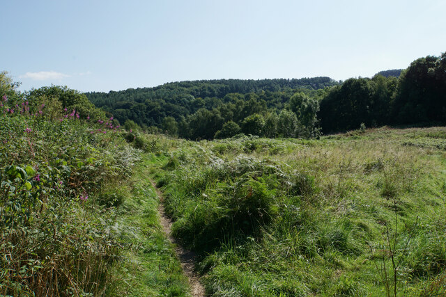
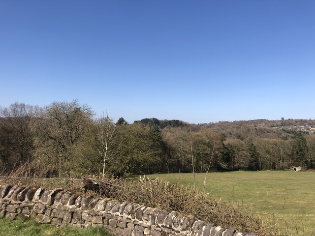
Nature enthusiasts are drawn to Whatstandwell for its stunning natural surroundings. The village is surrounded by rolling hills, lush green fields, and woodland areas, making it an ideal location for outdoor activities such as hiking, cycling, and birdwatching. The nearby Carsington Water, a reservoir and wildlife sanctuary, is a popular spot for water-based activities and is just a short drive away.
Overall, Whatstandwell offers a peaceful and picturesque setting, with its rich history, scenic landscapes, and close-knit community making it an attractive place to live or visit.
If you have any feedback on the listing, please let us know in the comments section below.
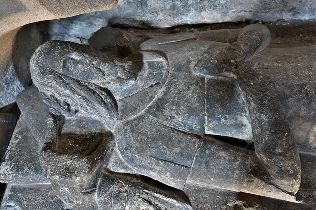
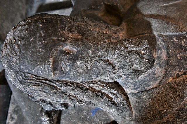
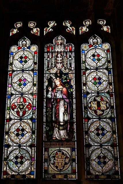
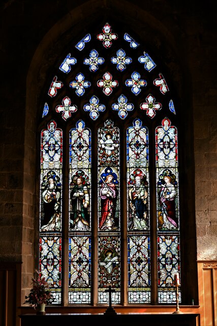
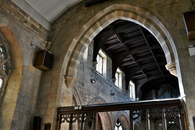
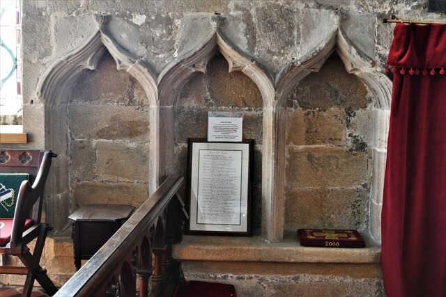
Whatstandwell Images
Images are sourced within 2km of 53.085024/-1.5049623 or Grid Reference SK3354. Thanks to Geograph Open Source API. All images are credited.
Whatstandwell is located at Grid Ref: SK3354 (Lat: 53.085024, Lng: -1.5049623)
Administrative County: Derbyshire
District: Amber Valley
Police Authority: Derbyshire
What 3 Words
///reporter.masterful.acclaim. Near South Wingfield, Derbyshire
Nearby Locations
Related Wikis

Whatstandwell railway station
Whatstandwell railway station is a railway station owned by Network Rail and managed by East Midlands Railway. It serves the villages of Whatstandwell...

Derwent Valley line
The Derwent Valley line is a railway line from Derby to Matlock in Derbyshire. The line follows the Midland Main Line as far as Ambergate Junction, which...

Whatstandwell
Whatstandwell () is a village on the River Derwent in the Amber Valley district of Derbyshire, England. It is about five miles south of Matlock and about...

Coddington, Derbyshire
Coddington is a place in Derbyshire, England. It is part of the civil parish of Crich, and is ½ mile west of that village. According to Kelly's Directory...

Chase Cliffe
Chase Cliffe is a building situated between the villages of Whatstandwell and Crich in Derbyshire. The house was built in 1859 by the three sisters of...

Alderwasley Hall School
Alderwasley Hall School is a private residential special school. The school is for children and young people aged 5 to 20 with High-Functioning ASD (Autism...
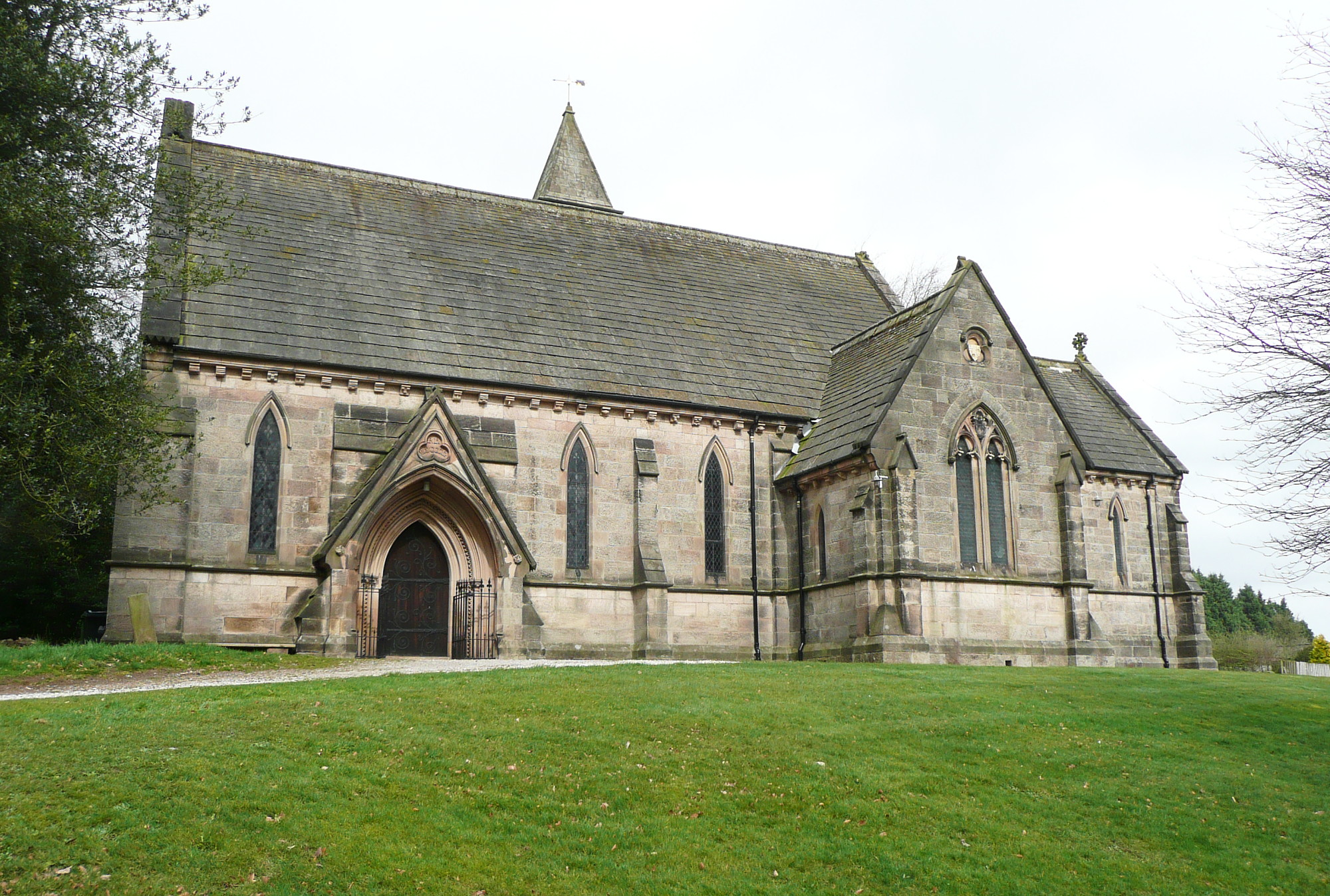
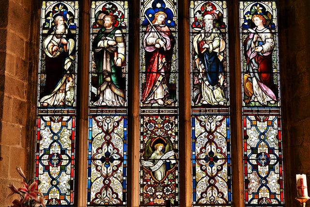
All Saints' Church, Alderwasley
All Saints’ Church, Alderwasley, is a Grade II listed parish church in the Church of England: 55 in Alderwasley, Derbyshire. == History == The church...

National Tramway Museum
The National Tramway Museum (trading as Crich Tramway Village) is a tram museum located at Crich (), Derbyshire, England. The museum contains over 60...
Nearby Amenities
Located within 500m of 53.085024,-1.5049623Have you been to Whatstandwell?
Leave your review of Whatstandwell below (or comments, questions and feedback).