Whatsole Street
Settlement in Kent Shepway
England
Whatsole Street
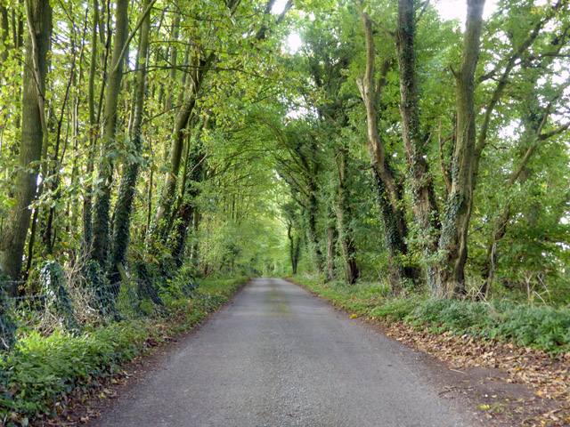
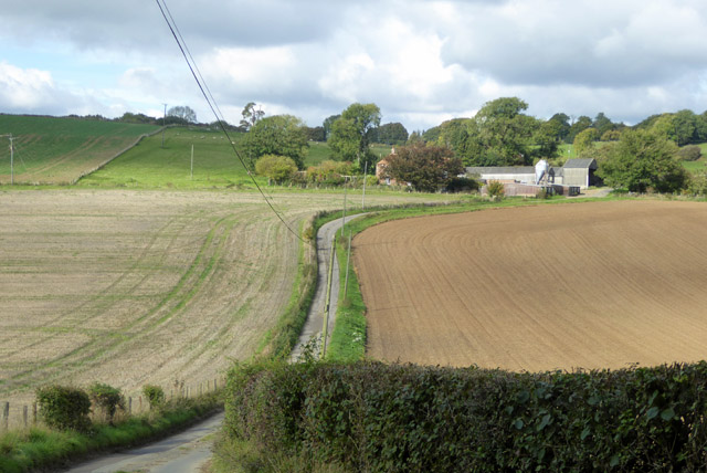
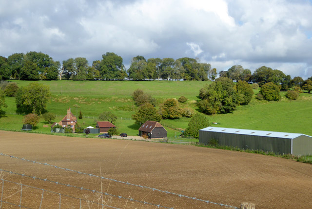
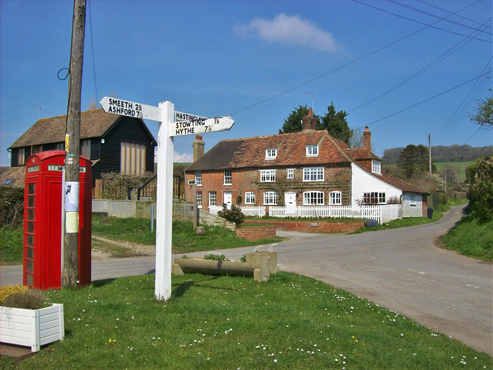
Whatsole Street is a small village located in the county of Kent, England. Situated in the southeastern part of the country, the village is part of the civil parish of Stowting, within the district of Shepway. It is nestled in the picturesque surroundings of the Kent Downs, an Area of Outstanding Natural Beauty.
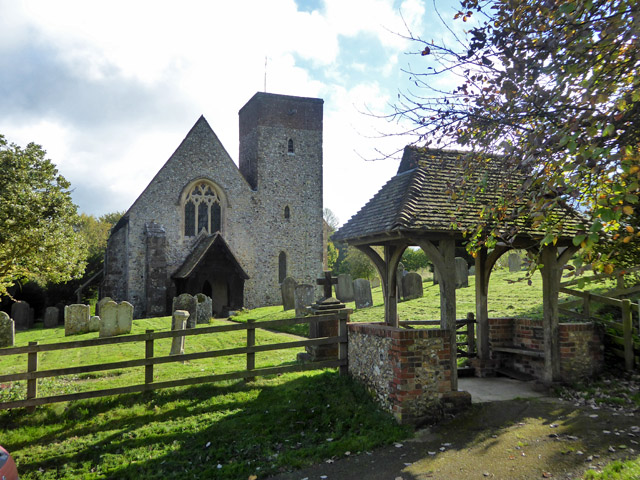
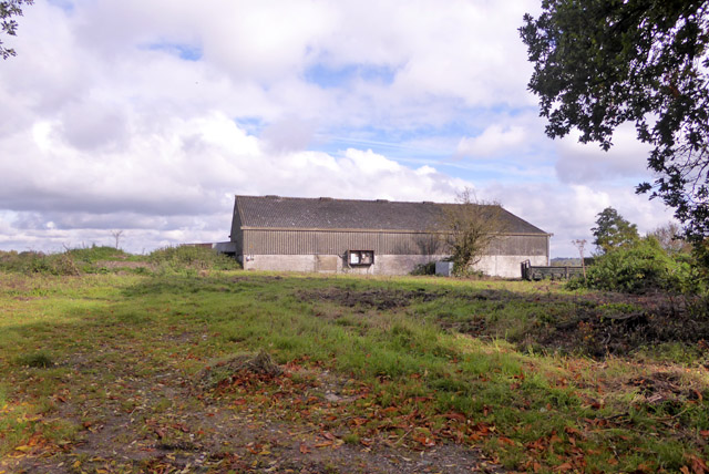
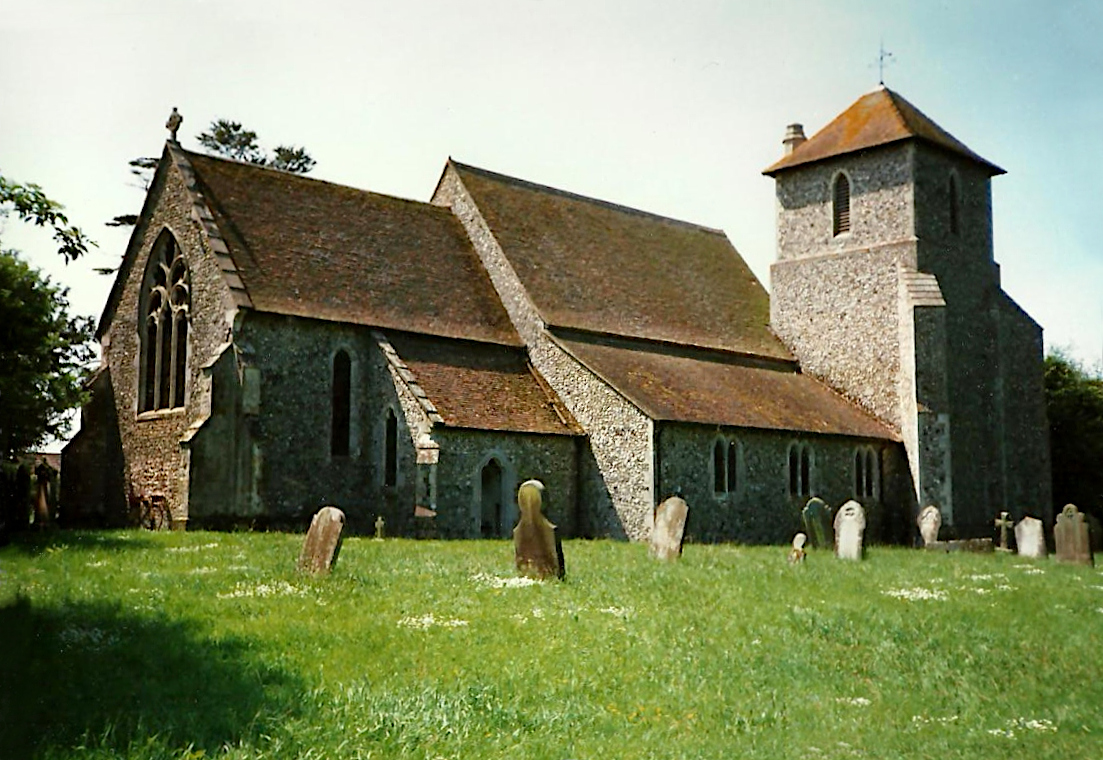
The village is known for its charming rural character and tranquil atmosphere. It consists of a scattering of houses and cottages, most of which are traditional in style and date back several centuries. The architecture reflects the rural heritage of the area, with some buildings featuring exposed beams and thatched roofs.
Despite its small size, Whatsole Street boasts a close-knit community that takes pride in maintaining its historic charm. Residents of the village often engage in various community activities and events, fostering a sense of camaraderie among the locals.
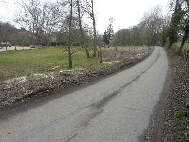
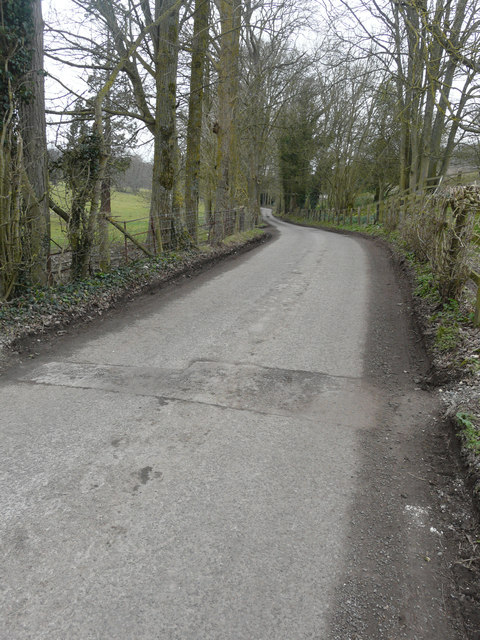
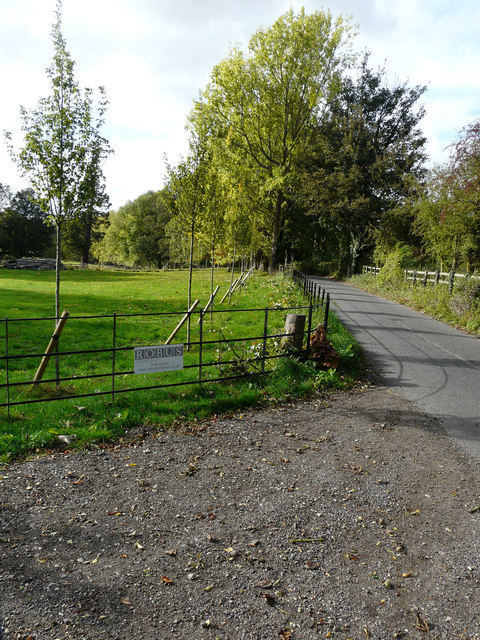
The village benefits from its proximity to the surrounding countryside, offering residents and visitors ample opportunities for outdoor activities. The nearby Kent Downs provide scenic walking and cycling routes, allowing visitors to explore the beautiful landscapes and enjoy breathtaking views.
While Whatsole Street may lack in commercial amenities, it is conveniently located just a short drive away from the market town of Ashford, which offers a wider range of services and facilities. This makes it an ideal location for those seeking a peaceful and picturesque countryside lifestyle while still having access to urban amenities.
If you have any feedback on the listing, please let us know in the comments section below.
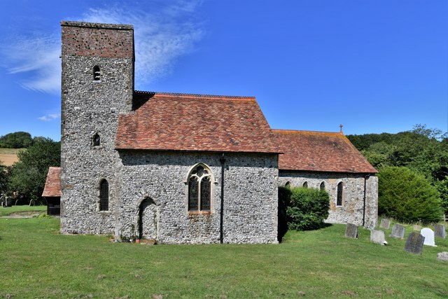
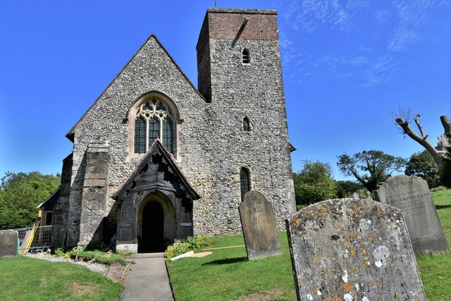
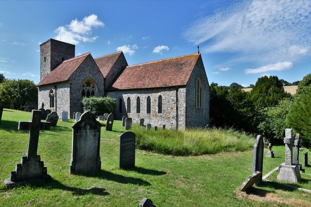
Whatsole Street Images
Images are sourced within 2km of 51.158895/1.0223822 or Grid Reference TR1144. Thanks to Geograph Open Source API. All images are credited.


Whatsole Street is located at Grid Ref: TR1144 (Lat: 51.158895, Lng: 1.0223822)
Administrative County: Kent
District: Shepway
Police Authority: Kent
What 3 Words
///gobbling.shorts.ramming. Near Lyminge, Kent
Nearby Locations
Related Wikis

Elmsted
Elmsted is a village and civil parish in the Folkestone and Hythe District of Kent, England. It is located west of Stone Street (the B2068), the Roman...

Spong Wood
Spong Wood is a 18-hectare (44-acre) nature reserve west of Stelling Minnis in Kent. It is managed by Kent Wildlife Trust.Common trees in this coppiced...

Park Gate Down
Park Gate Down or Parkgate Down is a 7-hectare (17-acre) biological Site of Special Scientific Interest south-east of Stelling Minnis in Kent. It is also...

Hastingleigh
Hastingleigh is a small civil parish centred on an escarpment of the Kent Downs. The parish is three miles east of Wye and ten miles south of Canterbury...

Shrub's Wood Long Barrow
Shrub's Wood Long Barrow is an unchambered long barrow located near to the village of Elmsted in the south-eastern English county of Kent. It was probably...
Brabourne
Brabourne is a village and civil parish in the Ashford district of Kent, England. The village centre is 4.5 miles (7.2 km) east of Ashford town centre...
Stowting
Stowting is a village and civil parish in the English county of Kent. It is 6 miles (9.7 km) east of Ashford, 7 miles (11 km) north-west of Folkestone...

Yockletts Bank
Yockletts Bank is a 25.4-hectare (63-acre) biological Site of Special Scientific Interest west of Stelling Minnis in Kent. It is managed by KWT and is...
Nearby Amenities
Located within 500m of 51.158895,1.0223822Have you been to Whatsole Street?
Leave your review of Whatsole Street below (or comments, questions and feedback).