Crich Carr

Settlement in Derbyshire Amber Va

England

Crich Carr

Birch Wood The wood is on the east bank of the River Derwent south of Hollywood
Birch Wood Credit: Eirian Evans

Crich Carr is a small village located in the county of Derbyshire, England. Situated in the Amber Valley district, it is nestled in the heart of the picturesque Peak District National Park. The village is characterized by its rural charm and beautiful natural surroundings, offering a tranquil and idyllic retreat for both residents and visitors alike.

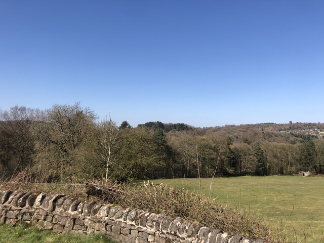
Crich Carr is renowned for its stunning landscapes, with rolling hills, lush green fields, and scenic walking trails. The village is bordered by the River Amber, which meanders through the countryside, providing a peaceful setting for fishing and boating enthusiasts.

Despite its small size, Crich Carr boasts a rich history and cultural heritage. The village is home to the famous Crich Tramway Village, a unique open-air museum that showcases the history of trams in the UK. Visitors can take a ride on vintage trams and explore the various exhibits and displays that depict life in a bygone era.

The village also offers a range of amenities and facilities for its residents. There is a primary school, a community center, and a local pub that serves as a social hub for villagers. In addition, Crich Carr is well-connected to neighboring towns and cities with good transport links, making it an ideal base for those looking to explore the wider region.

Overall, Crich Carr is a charming village that combines natural beauty, a rich history, and a strong sense of community. Its peaceful surroundings and range of attractions make it a popular destination for nature lovers, history enthusiasts, and those seeking a tranquil retreat in the heart of Derbyshire.

If you have any feedback on the listing, please let us know in the comments section below.

Crich Carr Images

Images are sourced within 2km of 53.082208/-1.5088015 or Grid Reference SK3354. Thanks to Geograph Open Source API. All images are credited.

Birch Wood The wood is on the east bank of the River Derwent south of Hollywood
Birch Wood
The wood is on the east bank of the River Derwent south of Hollywood
Crich, St. Mary's Church: Southern aspect
Crich, St. Mary's Church: The nave
Crich, St. Mary's Church: Norman drum font with cable moulding
Crich, St. Mary's Church: Tomb recess with effigy believed to be of Sir William Wakebridge (d.1369)
Crich, St. Mary's Church: Stained glass window
Crich, St. Mary's Church: East window
Crich, St. Mary's Church: East window (detail)
Crich, St. Mary's Church: Rev. William Bunting memorial
Crich, St. Mary's Church: Wall mounted Ephraim Shelmerdine memorial brass
Crich, St. Mary's Church: Wall mounted Rebeka Marshall memorial brass
Crich, St. Mary's Church: The chancel arch and screen
Crich, St. Mary's Church: Triple sedilia
Crich, St. Mary's Church: Roof
Show me another place!

Crich Carr is located at Grid Ref: SK3354 (Lat: 53.082208, Lng: -1.5088015)

Administrative County: Derbyshire

District: Amber Va

Police Authority: Derbyshire

What 3 Words

///relished.workroom.grid. Near Wirksworth, Derbyshire

Related Wikis

Whatstandwell railway station

Whatstandwell railway station is a railway station owned by Network Rail and managed by East Midlands Railway. It serves the villages of Whatstandwell...

Derwent Valley line

The Derwent Valley line is a railway line from Derby to Matlock in Derbyshire. The line follows the Midland Main Line as far as Ambergate Junction, which...

Whatstandwell

Whatstandwell () is a village on the River Derwent in the Amber Valley district of Derbyshire, England. It is about five miles south of Matlock and about...

Alderwasley Hall School

Alderwasley Hall School is a private residential special school. The school is for children and young people aged 5 to 20 with High-Functioning ASD (Autism...

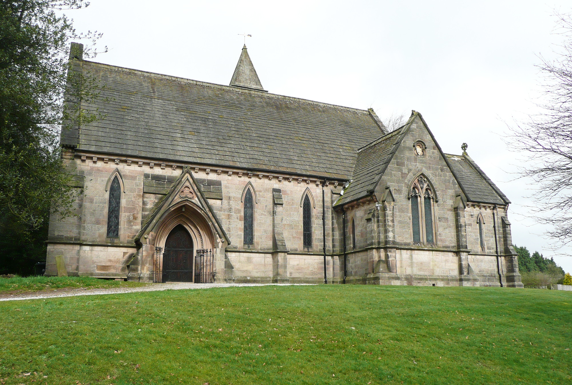
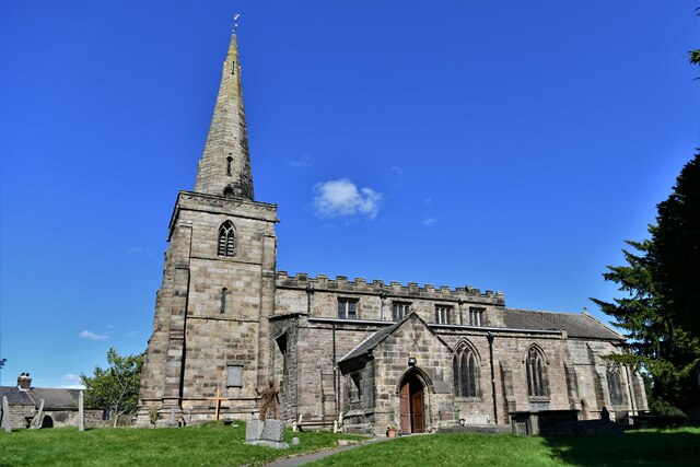
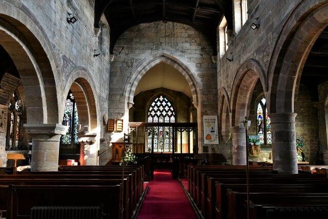
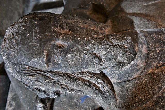
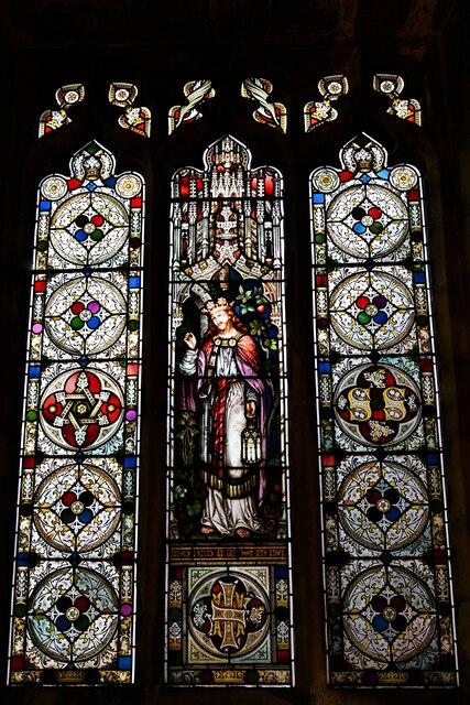
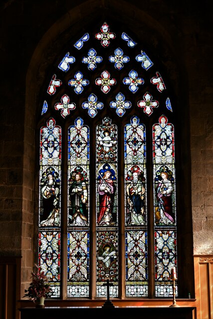
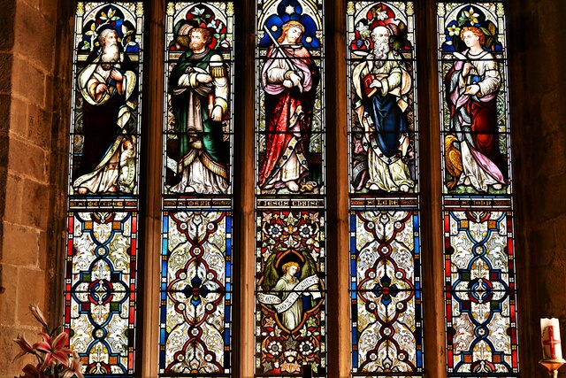
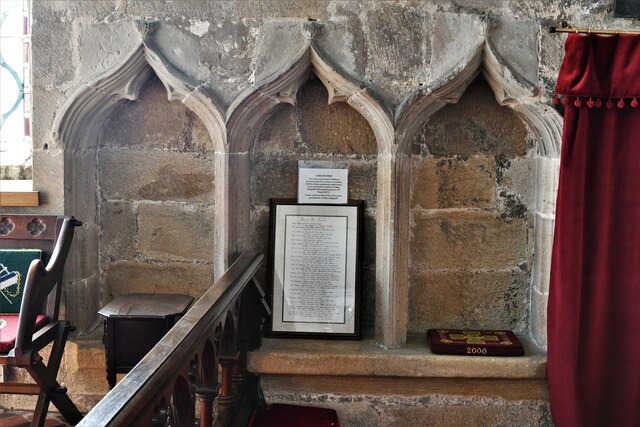
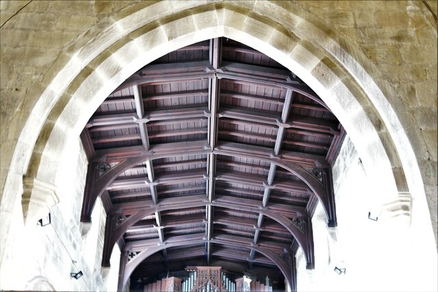
All Saints' Church, Alderwasley

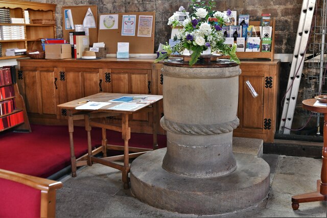
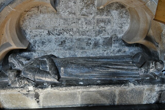
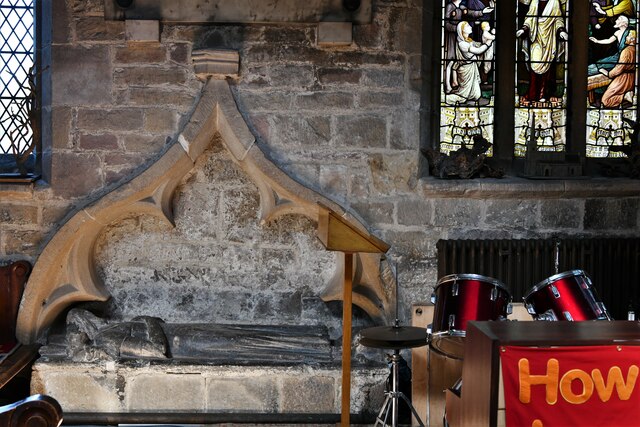
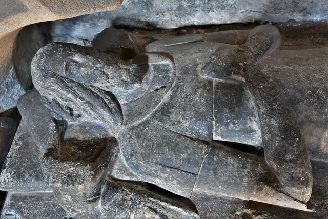
All Saints’ Church, Alderwasley, is a Grade II listed parish church in the Church of England: 55  in Alderwasley, Derbyshire. == History == The church...

Chase Cliffe

Chase Cliffe is a building situated between the villages of Whatstandwell and Crich in Derbyshire. The house was built in 1859 by the three sisters of...

Coddington, Derbyshire

Coddington is a place in Derbyshire, England. It is part of the civil parish of Crich, and is ½ mile west of that village. According to Kelly's Directory...

National Tramway Museum

The National Tramway Museum (trading as Crich Tramway Village) is a tram museum located at Crich (), Derbyshire, England. The museum contains over 60...

Related Videos

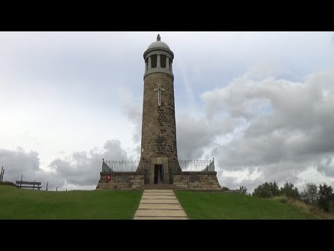
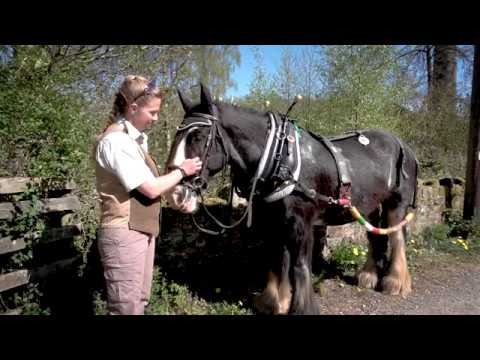
135: Whatstandwell, Holloway and Crich Stand (Amber Valley 2020)

AMBER VALLEY WALK FEATURING “WHATSTANDWELL, HOLLOWAY AND CRICH STAND "Whatstandwell, Holloway and ...

Peak District, Cromford and the Derwent Valley

Derwent Valley Mills is a World Heritage Site along the River Derwent in Derbyshire, England. The modern factory, or 'mill', ...

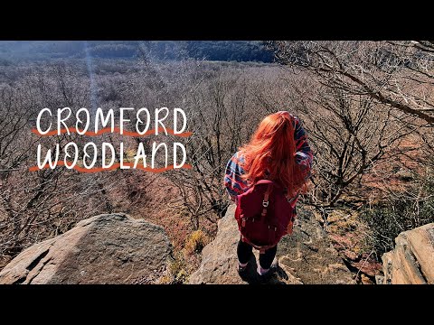
CROMFORD WOODLAND WALK || Sam and Jack join me at Cromford 🧀🌞🌲

Exploring Cromford Mill, buying cheese and a woodland walk. Link to the walk: ...

Nearby Amenities

Located within 500m of 53.082208,-1.5088015
Whatshandwell
Public Transport: stop_position
Railway: stop
Ref: 1
Train: yes
Lat/Long: 53.0834775/-1.504293
Post Box
Brand: Royal Mail
Brand Wikidata: Q638098
Brand Wikipedia: en:Royal Mail
Operator: Royal Mail
Operator Wikidata: Q638098
Post Box Type: wall
Ref: DE4 929
Lat/Long: 53.0855165/-1.5062655
Cafe
The Family Tree
Addr City: Matlock
Addr Postcode: DE4 5HG
Addr Street: Derby Road
Addr Village: Whatstandwell
Fhrs Id: 747
Former Amenity: pub
Note: Now open as a cafe
Old Name: Derwent Arms
Source: local_knowledge;survey
Lat/Long: 53.085577/-1.5061683
Bench
Lat/Long: 53.0848133/-1.5049984
Description: Cromford Canal information board
Tourism: information
Lat/Long: 53.0848184/-1.5051443
Bench
Lat/Long: 53.0851999/-1.5052044
Barrier: stile
Material: stone
Stile: squeezer
Lat/Long: 53.0855116/-1.5103812
Barrier: stile
Material: stone
Stile: squeezer
Lat/Long: 53.0855638/-1.5087485
Barrier: stile
Material: wood
Steps: 1
Stile: stepover
Lat/Long: 53.085505/-1.5086198
Barrier: stile
Material: wood
Steps: 1
Stile: stepover
Lat/Long: 53.0854505/-1.5080947
Barrier: stile
Material: wood
Steps: 1
Stile: stepover
Lat/Long: 53.0853395/-1.5129192
Post Box
Brand: Royal Mail
Brand Wikidata: Q638098
Brand Wikipedia: en:Royal Mail
Operator: Royal Mail
Operator Wikidata: Q638098
Ref: DE4 976
Lat/Long: 53.0847103/-1.5038248
Bus Stop
Bus: yes
Public Transport: platform
Lat/Long: 53.084865/-1.5042368
Bus Stop
Bus: yes
Naptan AtcoCode: 1000DWAD2152
Naptan NaptanCode: dbsdgpdg
Public Transport: platform
Lat/Long: 53.0847587/-1.5059955
Bus Stop
Bus: yes
Public Transport: platform
Lat/Long: 53.0836115/-1.5049288
Whatstandwell Level Crossing
Access: private
Railway: level_crossing
Lat/Long: 53.0824419/-1.502663
Bus Stop
Whatstandwell Station
Bench: no
Bin: no
Bus: yes
Lit: yes
Public Transport: platform
Shelter: no
Tactile Paving: no
Lat/Long: 53.0832797/-1.5047679
Information: board
Tourism: information
Lat/Long: 53.0844235/-1.5029381
Bench
Lat/Long: 53.0851461/-1.5053125
Waste Basket
Lat/Long: 53.0851361/-1.5053594
Parking
Access: customers
Parking: surface
Lat/Long: 53.0858806/-1.5066997
Bicycle Parking
Lat/Long: 53.0834606/-1.5043639
Bench
Source: survey;gps
Lat/Long: 53.0832673/-1.5041018
Bench
Source: survey;gps
Lat/Long: 53.0833204/-1.5041675
Information: route_marker
Tourism: information
Lat/Long: 53.0851355/-1.5052071
Barrier: cattle_grid
Lat/Long: 53.0858029/-1.5091762
Information: board
Tourism: information
Lat/Long: 53.0855413/-1.5059702
Information: route_marker
Tourism: information
Lat/Long: 53.0860616/-1.5095404
Information: route_marker
Tourism: information
Lat/Long: 53.0855706/-1.5108631
Information: route_marker
Tourism: information
Lat/Long: 53.0853326/-1.5129072
Whatstandwell
Naptan AtcoCode: 9100WATSTND
Network: National Rail
Network Website: https://www.nationalrail.co.uk/stations/wts/
Network Wikidata: Q26334
Public Transport: station
Railway: station
Ref Crs: WTS
Source: NPE
Wikidata: Q2313025
Wikipedia: en:Whatstandwell railway station
Lat/Long: 53.0834695/-1.5042939
Generator Method: photovoltaic
Generator Output Electricity: yes
Generator Source: solar
Generator Type: solar_photovoltaic_panel
Location: roof
Power: generator
Lat/Long: 53.0847771/-1.5048463
Generator Method: photovoltaic
Generator Output Electricity: yes
Generator Source: solar
Generator Type: solar_photovoltaic_panel
Location: roof
Power: generator
Lat/Long: 53.0841238/-1.5030656
Drinking Water
Man Made: water_tap
Lat/Long: 53.0841699/-1.5115957
Shower
Access: customers
Fee: no
Male: yes
Lat/Long: 53.0841494/-1.5117429
Toilets
Access: customers
Changing Table: no
Fee: no
Male: yes
Lat/Long: 53.0841547/-1.5116972
Shower
Access: customers
Fee: no
Female: yes
Lat/Long: 53.0841455/-1.5117673
Toilets
Access: customers
Fee: no
Female: yes
Lat/Long: 53.0841631/-1.5116434
Waste Disposal
Access: customers
Waste: trash
Lat/Long: 53.0839593/-1.5113562
Barrier: stile
Material: stone
Step Count: 4
Stile: stepover
Lat/Long: 53.0834917/-1.5101909
Defibrillator
Access: yes
Defibrillator Location: Outside the Family Tree
Emergency: defibrillator
Indoor: no
Ref GB The Circuit: A744DBEF-474E-4B85-987D-18C4BC9F3F95
Lat/Long: 53.085563/-1.5059753
The data included in this document is from www.openstreetmap.org. The data is made available under ODbL.

Have you been to Crich Carr?

Leave your review of Crich Carr below (or comments, questions and feedback).