Crich
Settlement in Derbyshire Amber Va
England
Crich
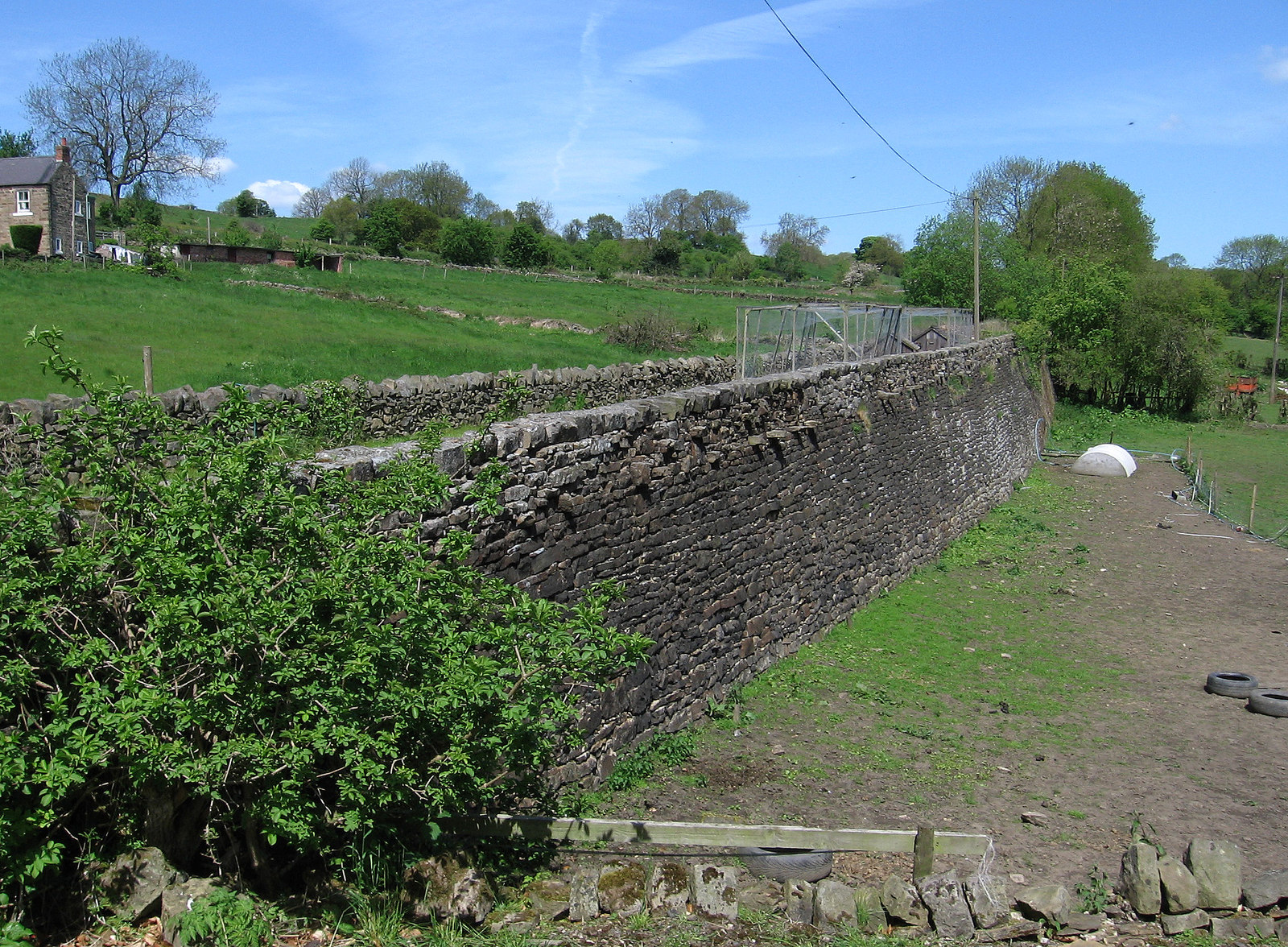
Crich is a small village located in the county of Derbyshire, in the East Midlands region of England. Situated on the edge of the Peak District National Park, it is surrounded by picturesque rolling hills and stunning natural beauty. The village itself is nestled on a hilltop, providing breathtaking views of the surrounding countryside.
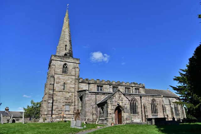
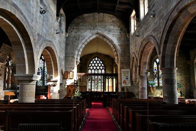
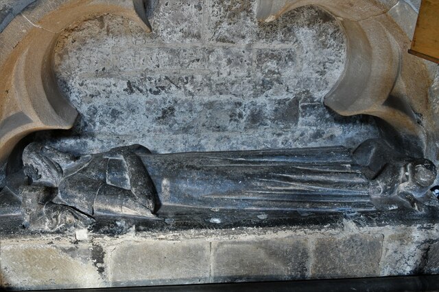
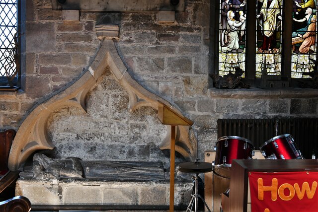
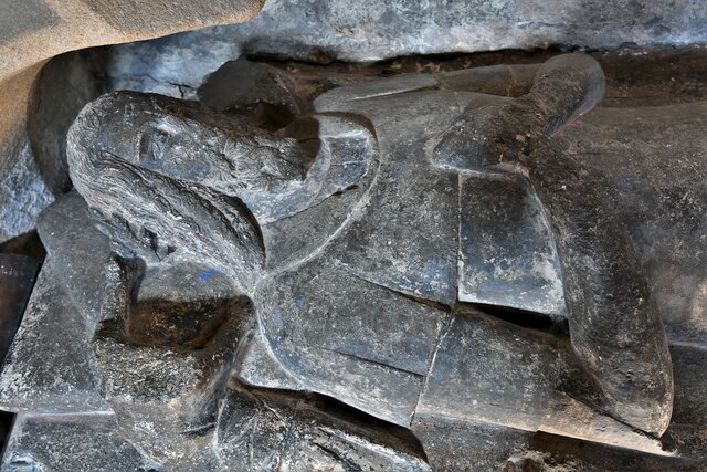
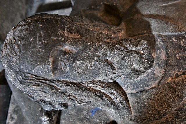
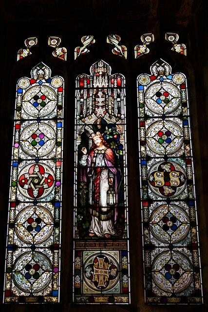
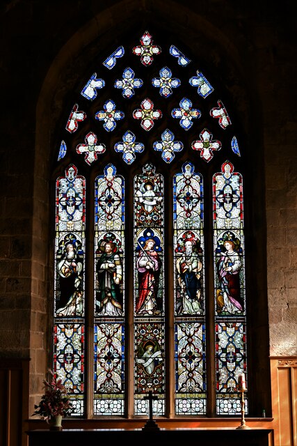
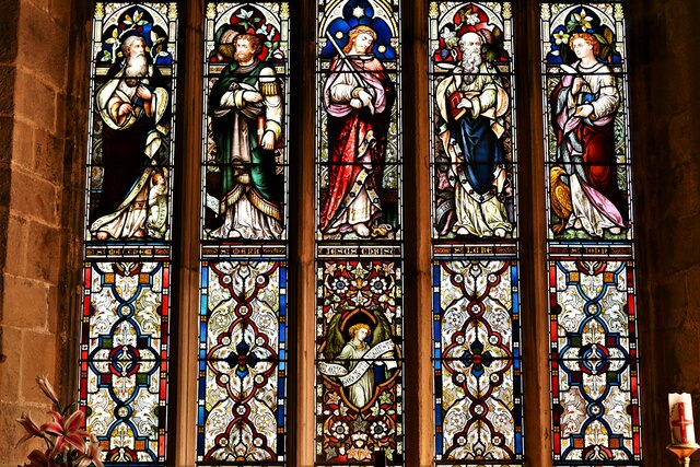
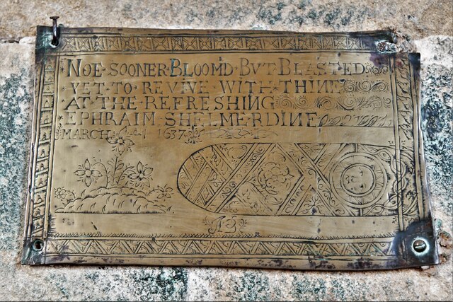
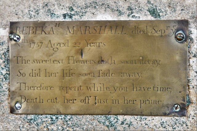
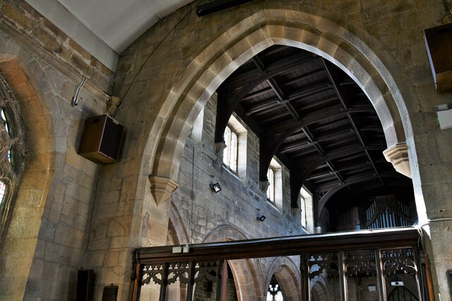
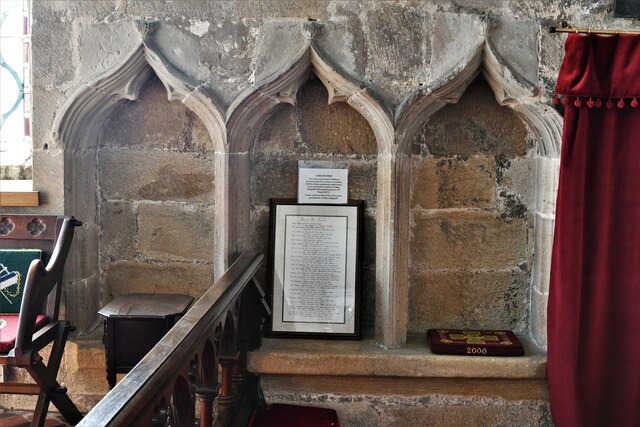
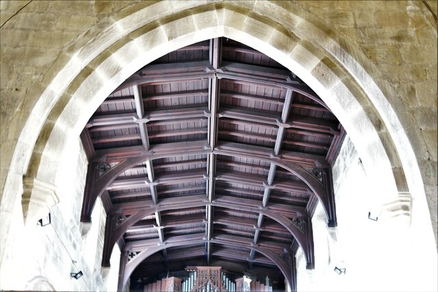
Crich has a rich history, dating back to the Domesday Book in the 11th century. It was primarily an agricultural community, but its location near coal mines led to the development of the mining industry during the Industrial Revolution. Today, the village retains its historical charm with several well-preserved buildings from different eras, including the 13th-century St. Mary's Church and the 17th-century Crich Tramway Village.
One of the key attractions in Crich is the Crich Tramway Village, a unique open-air museum dedicated to the history of trams. Visitors can explore the vast collection of vintage trams, take a ride on a restored tram, and learn about the development of this mode of transport. The village also hosts various events and exhibitions throughout the year, attracting both locals and tourists.
Crich offers a range of amenities for residents and visitors, including local shops, traditional pubs, and cafes. The village is also well-connected, with convenient transportation links to nearby towns and cities. With its idyllic countryside setting and historical significance, Crich is a charming destination that appeals to those seeking a peaceful retreat and an opportunity to immerse themselves in the region's heritage.
If you have any feedback on the listing, please let us know in the comments section below.
Crich Images
Images are sourced within 2km of 53.083959/-1.4788777 or Grid Reference SK3554. Thanks to Geograph Open Source API. All images are credited.

Crich is located at Grid Ref: SK3554 (Lat: 53.083959, Lng: -1.4788777)
Administrative County: Derbyshire
District: Amber Va
Police Authority: Derbyshire
What 3 Words
///landowner.sensitive.watching. Near South Wingfield, Derbyshire
Related Wikis

Crich
Crich is a village in the English county of Derbyshire. The population at the 2001 Census was 2,821, increasing to 2,898 at the 2011 Census (including...

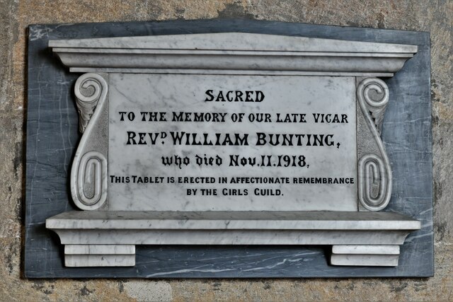
St Mary's Church, Crich
St Mary's Church, Crich is a Grade I listed parish church in the Church of England in Crich, Derbyshire. == History == The church dates from 1135 and has...

National Tramway Museum
The National Tramway Museum (trading as Crich Tramway Village) is a tram museum located at Crich (), Derbyshire, England. The museum contains over 60...

Chase Cliffe
Chase Cliffe is a building situated between the villages of Whatstandwell and Crich in Derbyshire. The house was built in 1859 by the three sisters of...

Coddington, Derbyshire
Coddington is a place in Derbyshire, England. It is part of the civil parish of Crich, and is ½ mile west of that village. According to Kelly's Directory...
Butterley Gangroad
The Butterley Gangroad was an early tramway in Derbyshire of approximately 3 ft 6 in (1,067 mm) gauge, which linked Hilt's Quarry and other limestone quarries...

Fritchley Tunnel
Fritchley Tunnel is a disused railway tunnel at Fritchley in Derbyshire, England, which is believed to be the oldest surviving example in the world. The...

Fritchley
Fritchley is a small village in Derbyshire, England, situated to the south of Crich and north of Ambergate. It falls under the civil parish of Crich. To...
Nearby Amenities
Located within 500m of 53.083959,-1.4788777Have you been to Crich?
Leave your review of Crich below (or comments, questions and feedback).