Crichton
Settlement in Midlothian
Scotland
Crichton
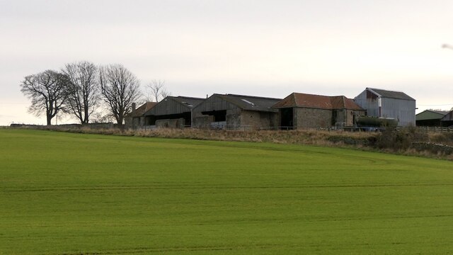
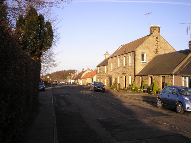
Crichton is a small village located in the Midlothian region of Scotland. It lies approximately 8 miles southeast of the city of Edinburgh and is nestled in a picturesque countryside setting. With a population of around 500 residents, Crichton offers a tranquil and close-knit community atmosphere.
One of the village's main attractions is Crichton Castle, a historic 14th-century fortress that stands as a testament to Scotland's rich architectural heritage. The castle boasts stunning views of the surrounding landscape and provides visitors with a glimpse into the country's medieval past.
Despite its small size, Crichton offers a range of amenities to its residents. There is a local primary school, Crichton-Stuart Nursery, ensuring quality education for young children within the village. A cozy village pub, The Crichton Arms, provides a gathering place for locals and visitors to enjoy a pint or a hearty meal.
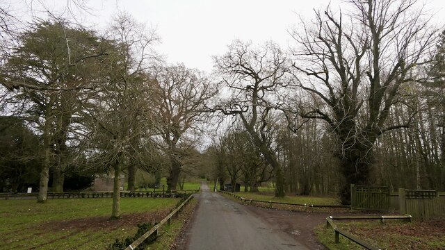
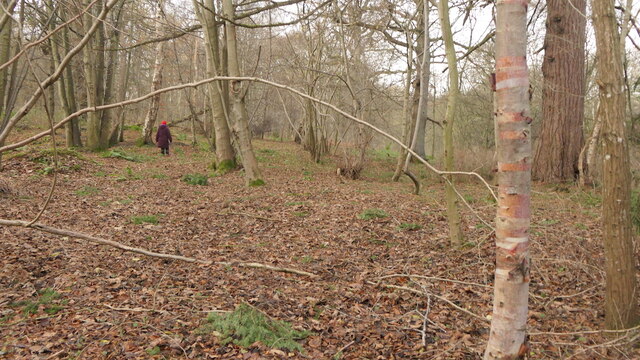
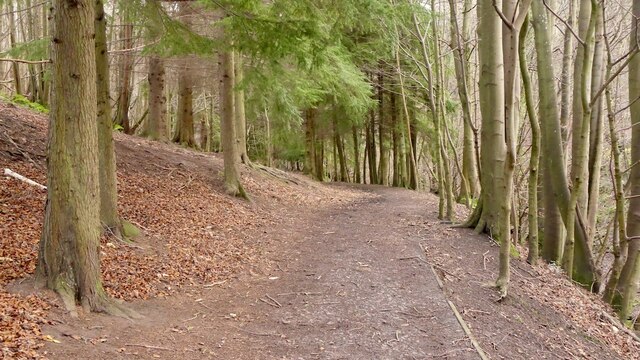
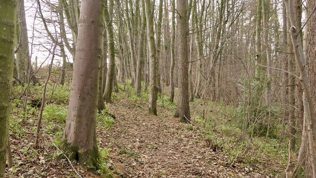
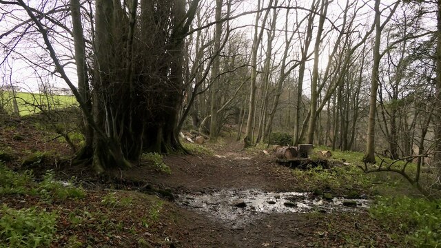
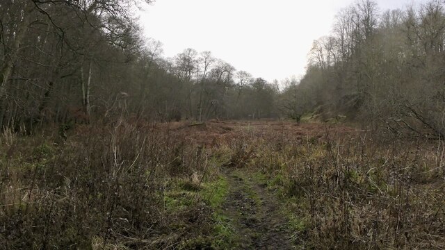
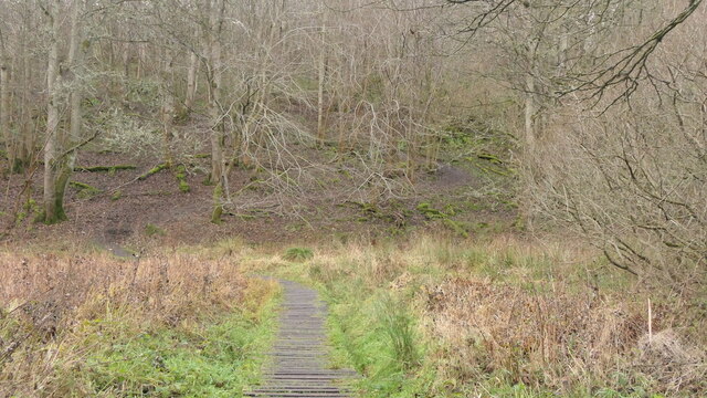
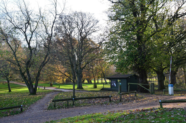
Nature enthusiasts will appreciate the village's proximity to the Pentland Hills Regional Park, offering ample opportunities for hiking, birdwatching, and enjoying the great outdoors. Additionally, the nearby Borthwick Castle and Vogrie Country Park provide further recreational options for residents and tourists alike.
Crichton is well-connected to surrounding areas by road, making it easily accessible for commuters and travelers. The village's peaceful ambiance, coupled with its historic attractions and natural beauty, make it an attractive place to live or visit for those seeking a serene retreat from the bustling city life of Edinburgh.
If you have any feedback on the listing, please let us know in the comments section below.
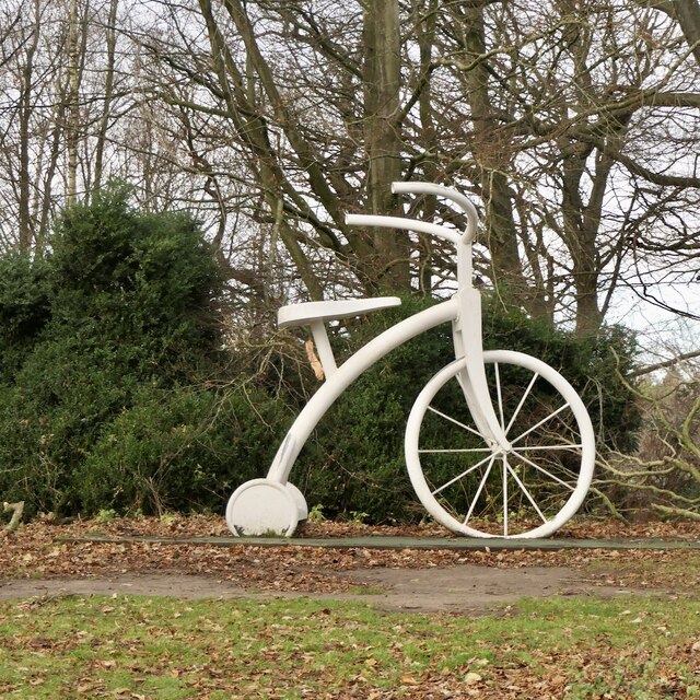
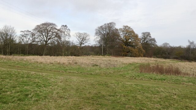
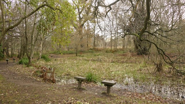
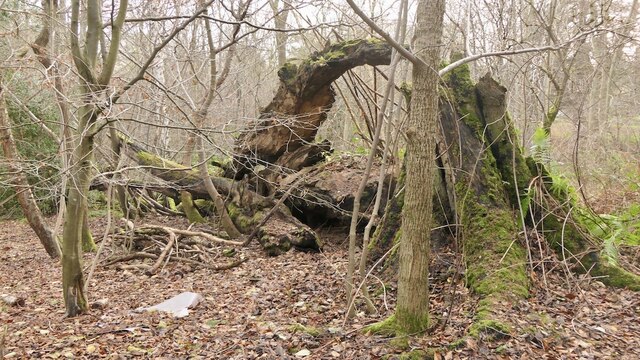
Crichton Images
Images are sourced within 2km of 55.84726/-2.981103 or Grid Reference NT3861. Thanks to Geograph Open Source API. All images are credited.

Crichton is located at Grid Ref: NT3861 (Lat: 55.84726, Lng: -2.981103)
Unitary Authority: Midlothian
Police Authority: The Lothians and Scottish Borders
What 3 Words
///glides.bordering.compiler. Near Gorebridge, Midlothian
Nearby Locations
Related Wikis

Crichton, Midlothian
Crichton is a small village and civil parish in Midlothian, Scotland, around 2 miles (3 km) south of Pathhead and the same distance east of Gorebridge...

Crichton Collegiate Church
Crichton Collegiate Church is situated about 0.6 miles (0.97 km) south-west of the hamlet of Crichton in Midlothian, Scotland. == Origins and Pre-Reformation... ==
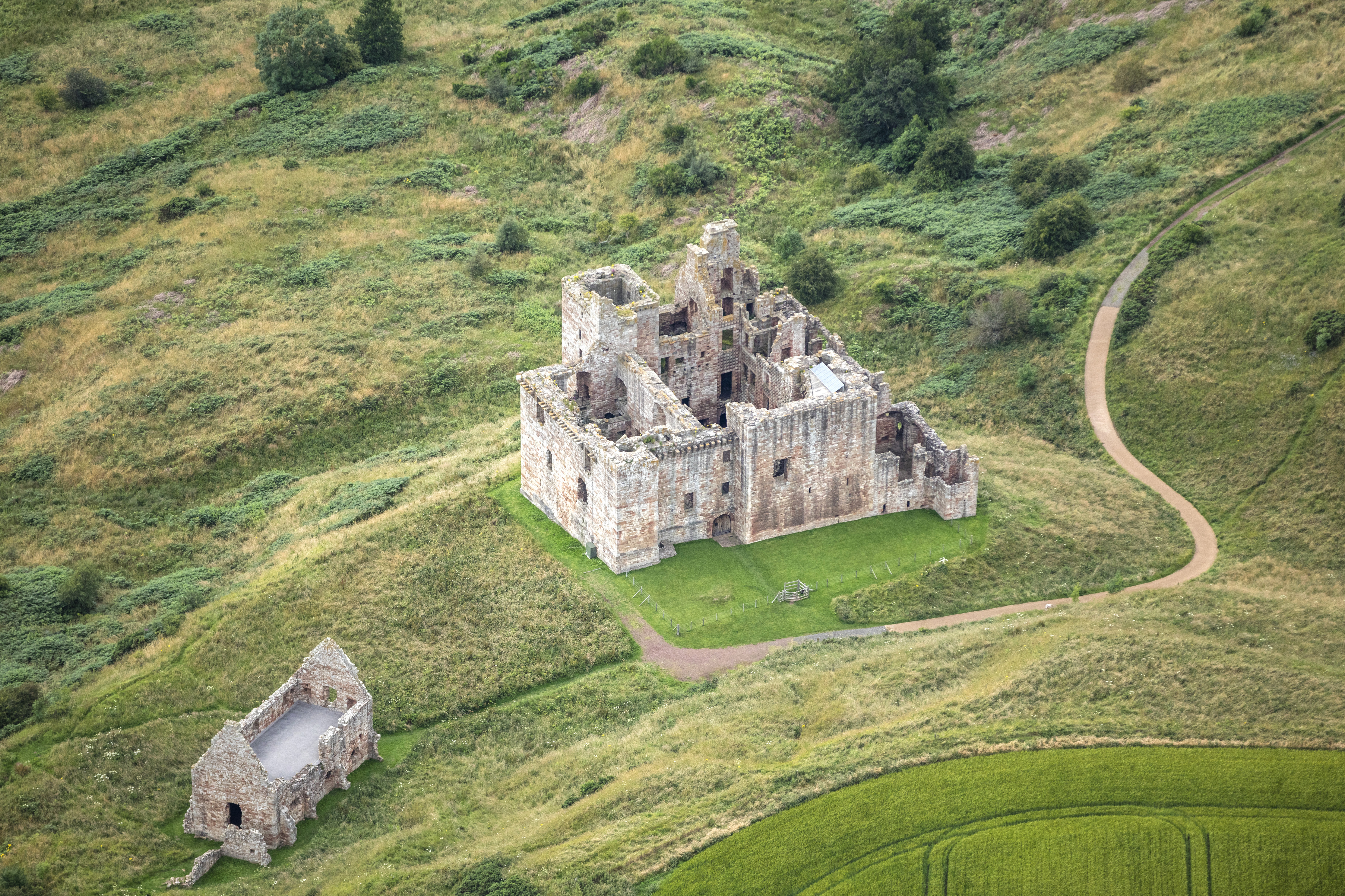
Crichton Castle
Crichton Castle is a ruined castle near the village of Crichton in Midlothian, Scotland. It is situated at the head of the River Tyne, 2 miles (3.2 km...

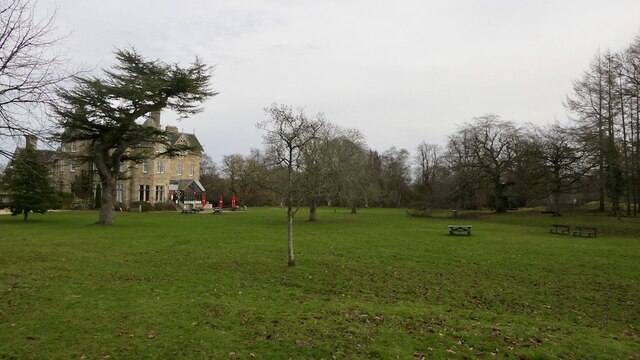
Vogrie House
Vogrie House forms the centrepiece of Vogrie Country Park in Midlothian. It was built for James Dewar and his family in 1876 by Andrew Heiton, the town...

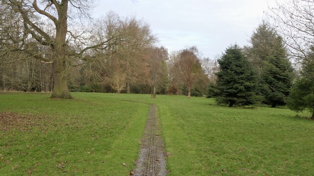
Vogrie Country Park
Vogrie Country Park in Scotland is managed by Midlothian Council. It consists of a woodland estate surrounding the Victorian Vogrie House. It is located...
Dewartown
Dewartown is a small hamlet in Midlothian, Scotland (near Pathhead and Mayfield). Its name relates to the Dewar family who owned the nearby Vogrie House...

Pathhead, Midlothian
Pathhead village is a conservation area in Midlothian, Scotland. == Location == Pathhead is located around 4 miles (6.4 km) south east of Dalkeith and...

Borthwick Castle
Borthwick Castle is one of the largest and best-preserved surviving medieval Scottish fortifications. It is located twelve miles (19 km) south-east of...
Nearby Amenities
Located within 500m of 55.84726,-2.981103Have you been to Crichton?
Leave your review of Crichton below (or comments, questions and feedback).