Crichton Castle

Heritage Site in Midlothian

Scotland

Crichton Castle

The infant Tyne Water The Tyne Water, here little more than a field drain, culverted under a track near the old railway cutting north of Tynehead.
The infant Tyne Water Credit: Jim Barton

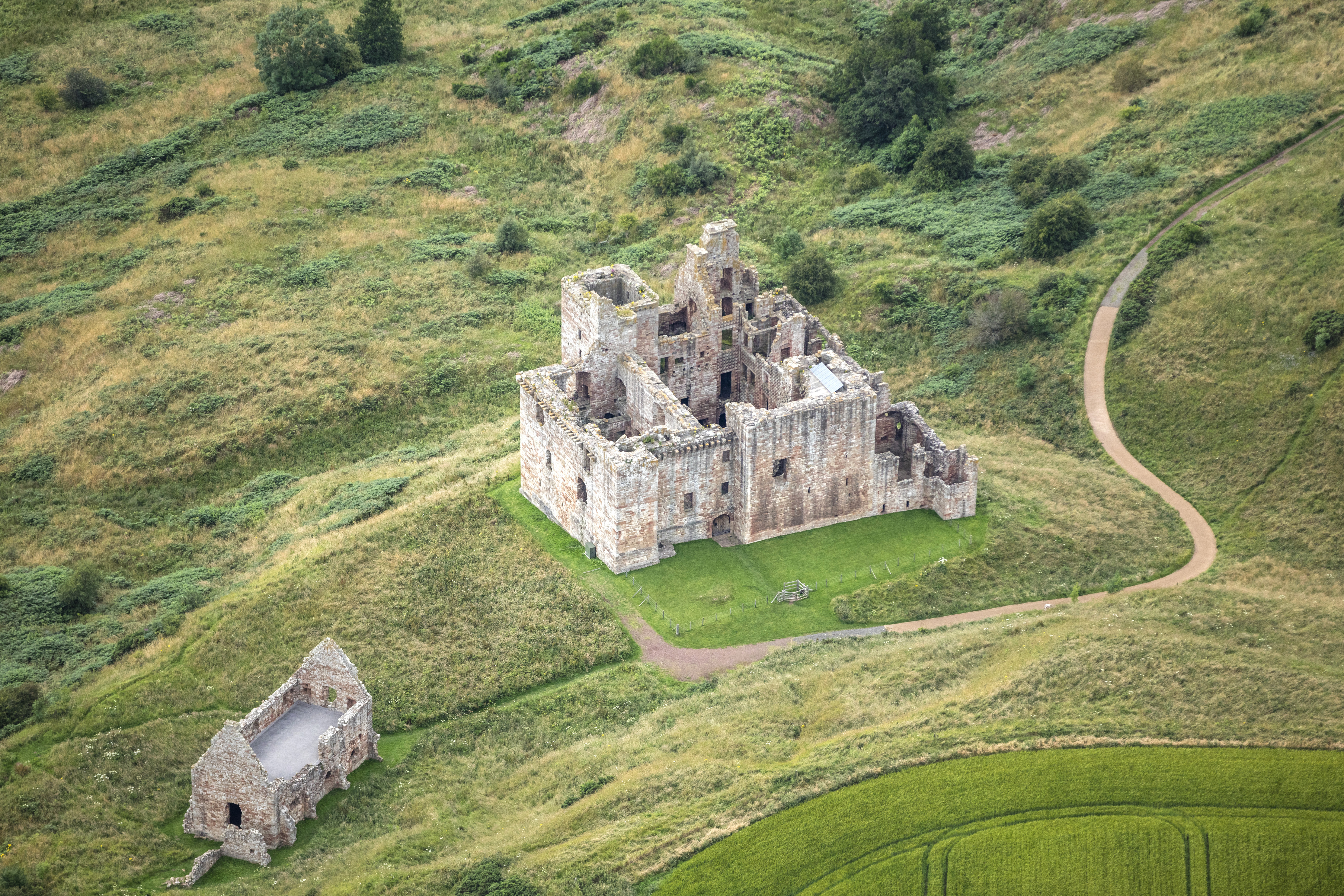
Crichton Castle is a historic fortress located in Midlothian, Scotland. Situated on a ridge overlooking the Tyne Valley, this magnificent castle has a rich and fascinating history dating back to the 14th century.

Originally built as a stronghold by the powerful Crichton family in the late 1300s, the castle was later acquired by the influential Chancellor of Scotland, Sir William Crichton. Under his ownership in the 15th century, the castle underwent significant expansion and renovation, transforming it into an impressive Renaissance-style residence.

The castle's architecture is a harmonious blend of medieval and Renaissance design elements. Its notable features include a striking four-story tower house, ornate windows adorned with carved stone tracery, and a picturesque courtyard enclosed by a curtain wall. The interior boasts a great hall, private chambers, and a vaulted cellar.

Throughout its history, Crichton Castle has witnessed significant events and hosted numerous notable figures. It was a center of political power and intrigue during the reign of Mary, Queen of Scots, and later served as a residence for the Earls of Bothwell. The castle also played a role in the religious conflicts of the time, with the Covenanters using it as a garrison during the 17th-century wars.

Today, Crichton Castle stands as a well-preserved heritage site open to the public. Visitors can explore its impressive ruins, admire the architectural details, and learn about its captivating history through informative displays. The castle's picturesque setting amidst rolling hills and scenic countryside further adds to its charm, making it a popular destination for history enthusiasts and tourists alike.

If you have any feedback on the listing, please let us know in the comments section below.

Crichton Castle Images

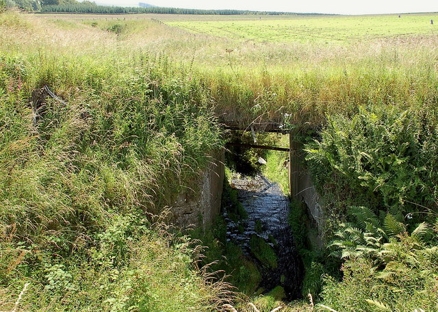
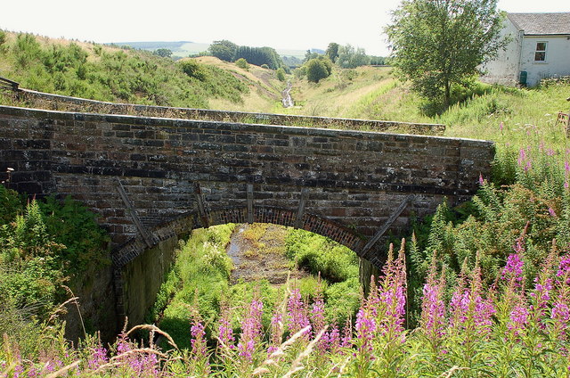
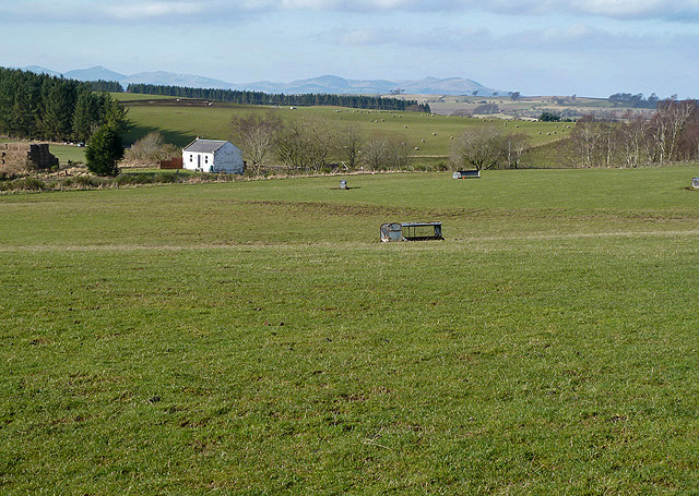
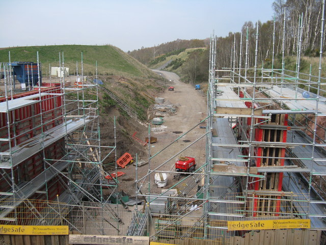
Images are sourced within 2km of 55.843/-2.982 or Grid Reference NT3861. Thanks to Geograph Open Source API. All images are credited.

The infant Tyne Water The Tyne Water, here little more than a field drain, culverted under a track near the old railway cutting north of Tynehead.
The infant Tyne Water
The Tyne Water, here little more than a field drain, culverted under a track near the old railway cutting north of Tynehead.
Bridge and cutting, Waverley line near Tynehead Plans are advanced to reopen this railway line from Edinburgh to Tweedbank and possibly Galashiels.
Bridge and cutting, Waverley line near Tynehead
Plans are advanced to reopen this railway line from Edinburgh to Tweedbank and possibly Galashiels.
Farmland at Tynehead This was viewed from the B6367 in mid-February.
Farmland at Tynehead
This was viewed from the B6367 in mid-February.
Pasture and plantation at Halflaw Kiln Looking east, back to the main road, along the road from the farm.
Pasture and plantation at Halflaw Kiln
Looking east, back to the main road, along the road from the farm.
Farmland at Halflaw Kiln With Crichton Castle and the valley of the Tyne Water in the distance
Farmland at Halflaw Kiln
With Crichton Castle and the valley of the Tyne Water in the distance
Pasture at Halflaw Kiln Looking NE across the line of the Borders Railway in the valley to woodland of Maggie Bowie's Glen beyond.
Pasture at Halflaw Kiln
Looking NE across the line of the Borders Railway in the valley to woodland of Maggie Bowie's Glen beyond.
Bank Holiday on the Borders Railway All heavy plant parked up for the bank holiday.
Bank Holiday on the Borders Railway
All heavy plant parked up for the bank holiday.
New bridge for Halflawkiln Road To allow the road to cross the Borders Railway. Looking north towards Edinburgh.
New bridge for Halflawkiln Road
To allow the road to cross the Borders Railway. Looking north towards Edinburgh.
Road to Halflaw Kiln The road has been much improved as a result of the railway work.
Road to Halflaw Kiln
The road has been much improved as a result of the railway work.
New bridge, Halfkiln Law This bridge,  <a href="https://www.geograph.org.uk/photo/3943176">NT3959 : New bridge for Halflawkiln Road</a>, now completed over the Borders Railway.
New bridge, Halfkiln Law
This bridge, NT3959 : New bridge for Halflawkiln Road, now completed over the Borders Railway.
Tyne Water One of the tributaries of East Lothian's River Tyne near its source. Here it passes under the Borders Railway.
Tyne Water
One of the tributaries of East Lothian's River Tyne near its source. Here it passes under the Borders Railway.
Borders Railway Sadly much of the route is single track and this is causing the usual problems.  Despite this the reopening of part of the Waverley Line has been a massive success.  Here's to part II - Tweedbank to Carlisle!
Borders Railway
Sadly much of the route is single track and this is causing the usual problems. Despite this the reopening of part of the Waverley Line has been a massive success. Here's to part II - Tweedbank to Carlisle!
Borders Railway, Tynehead Sadly much of the route is single track and this is causing the usual problems.  Despite this the reopening of part of the Waverley Line has been a massive success.  Here's to part II - Tweedbank to Carlisle!

I should have stayed around, a few minutes later, back on the road over to the A68, I heard a steam locomotive, the line is used for excursions.
Borders Railway, Tynehead
Sadly much of the route is single track and this is causing the usual problems. Despite this the reopening of part of the Waverley Line has been a massive success. Here's to part II - Tweedbank to Carlisle! I should have stayed around, a few minutes later, back on the road over to the A68, I heard a steam locomotive, the line is used for excursions.
Farmland, Halflaw Kiln Good grazing on the limestone belt of Midlothian.
Farmland, Halflaw Kiln
Good grazing on the limestone belt of Midlothian.
Road to Halflawkiln
Road to Halflawkiln
The drive, Vogrie House
Railway, Vogrie Country Park
Vogrie House Notes on the history of this estate, now owned and run as a country park by Midlothian Council can be found here: <a href="https://www.geograph.org.uk/photo/2141929">NT3863 : Vogrie House</a>
Vogrie House
Notes on the history of this estate, now owned and run as a country park by Midlothian Council can be found here: NT3863 : Vogrie House
Show me another place!

Crichton Castle is located at Grid Ref: NT3861 (Lat: 55.843, Lng: -2.982)

Unitary Authority: Midlothian

Police Authority: The Lothians and Scottish Borders

What 3 Words

///taster.headless.vented. Near Gorebridge, Midlothian

Related Wikis

Crichton, Midlothian

Crichton is a small village and civil parish in Midlothian, Scotland, around 2 miles (3 km) south of Pathhead and the same distance east of Gorebridge...

Crichton Castle

Crichton Castle is a ruined castle near the village of Crichton in Midlothian, Scotland. It is situated at the head of the River Tyne, 2 miles (3.2 km...

Crichton Collegiate Church

Crichton Collegiate Church is situated about 0.6 miles (0.97 km) south-west of the hamlet of Crichton in Midlothian, Scotland. == Origins and Pre-Reformation... ==
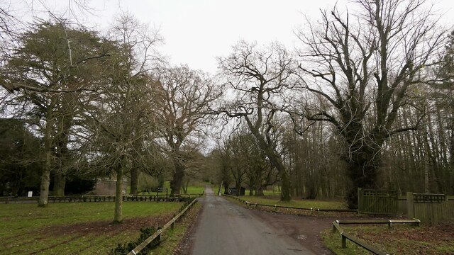
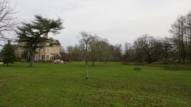
Vogrie House

Vogrie House forms the centrepiece of Vogrie Country Park in Midlothian. It was built for James Dewar and his family in 1876 by Andrew Heiton, the town...
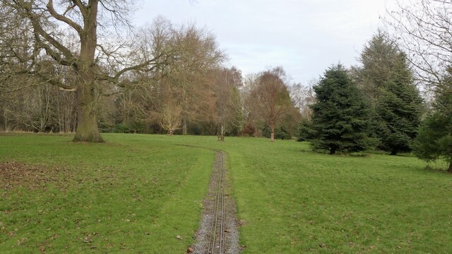
Vogrie Country Park

Vogrie Country Park in Scotland is managed by Midlothian Council. It consists of a woodland estate surrounding the Victorian Vogrie House. It is located...

Borthwick Castle

Borthwick Castle is one of the largest and best-preserved surviving medieval Scottish fortifications. It is located twelve miles (19 km) south-east of...

Tynehead railway station

Tynehead railway station served the village of Pathhead, Midlothian, Scotland from 1848 to 1969 on the Waverley Line. == History == The station opened...

Dewartown

Dewartown is a small hamlet in Midlothian, Scotland (near Pathhead and Mayfield). Its name relates to the Dewar family who owned the nearby Vogrie House...

Nearby Amenities

Located within 500m of 55.843,-2.982
Crichton
Place: village
Lat/Long: 55.8470323/-2.9822335
Post Box
Ref: EH37 50
Lat/Long: 55.847148/-2.9811071
The data included in this document is from www.openstreetmap.org. The data is made available under ODbL.

Have you been to Crichton Castle?

Leave your review of Crichton Castle below (or comments, questions and feedback).