Whauphill

Settlement in Wigtownshire

Scotland

Whauphill

Knockefferick Trig Point Flush Bracket S8231
Knockefferick Trig Point Flush Bracket S8231 Credit: thejackrustles

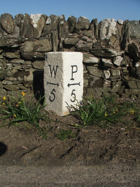
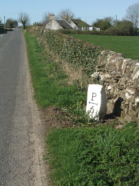
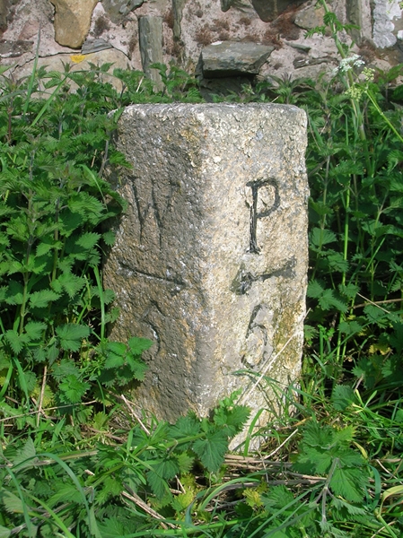
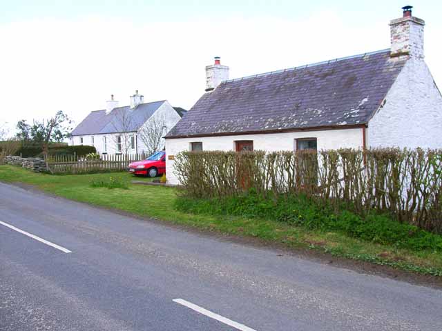
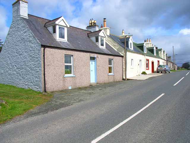
Whauphill is a small village located in Wigtownshire, which is a historical county in the southwest of Scotland. Situated about 5 miles southeast of the town of Wigtown, Whauphill is nestled amidst picturesque rural landscapes.

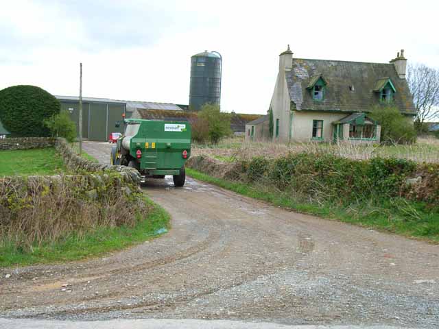
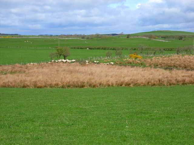
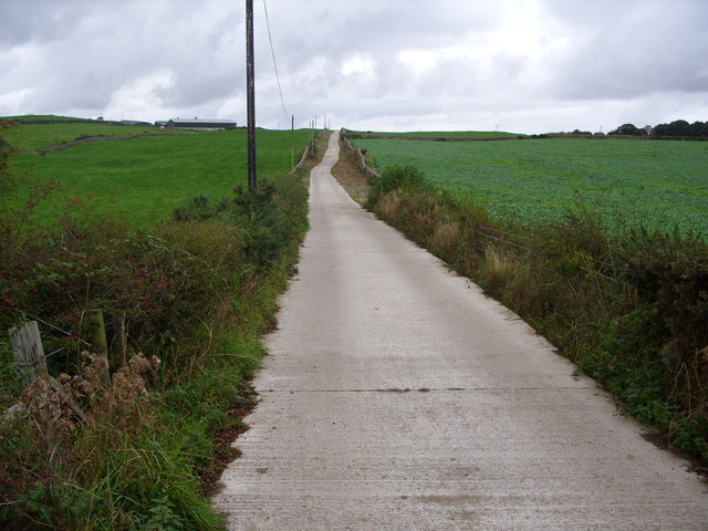
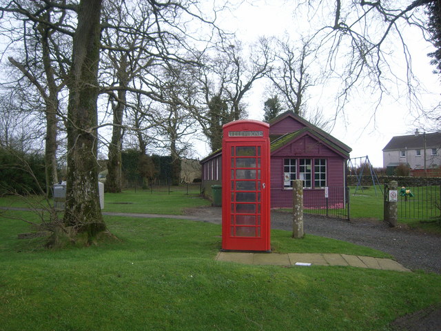
The village is characterized by its tranquil and idyllic setting, with rolling hills, lush green fields, and scattered woodland. It is primarily a residential area, with a small population of approximately 250 residents. The village boasts a close-knit community that prides itself on its friendly and welcoming atmosphere.

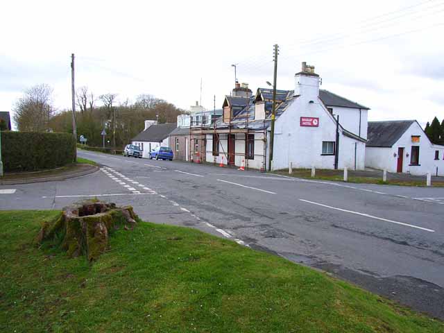
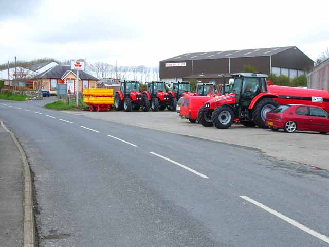
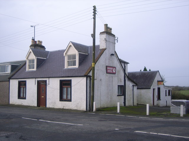
Whauphill has limited amenities, including a local pub, a primary school, and a community center. The pub serves as a gathering place for locals and visitors alike, offering a cozy environment to relax and socialize. The primary school provides education to the village's children, fostering a sense of community and ensuring their educational needs are met.

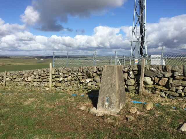
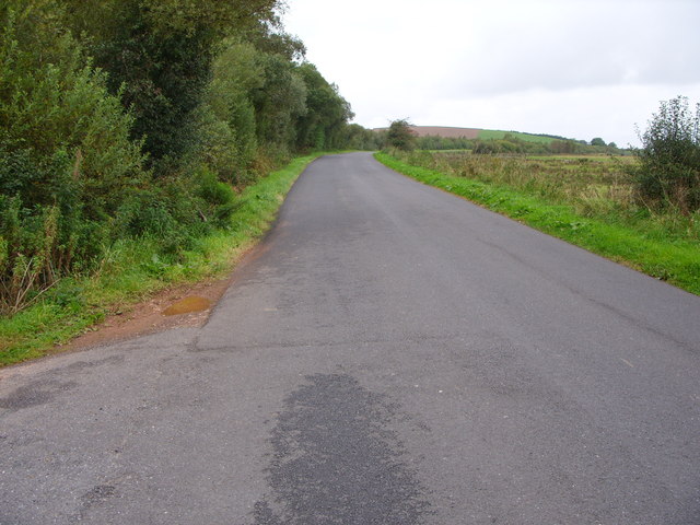
The village is surrounded by natural beauty, making it an ideal location for outdoor enthusiasts. There are numerous walking and cycling trails in the area, allowing residents and visitors to explore the stunning countryside. The nearby Galloway Forest Park offers further opportunities for outdoor activities, including hiking, wildlife spotting, and stargazing.

Overall, Whauphill offers a peaceful and picturesque lifestyle, where residents can enjoy the tranquility of rural Scotland while being within reach of larger towns and essential amenities.

If you have any feedback on the listing, please let us know in the comments section below.

Whauphill Images

Images are sourced within 2km of 54.816715/-4.4867816 or Grid Reference NX4049. Thanks to Geograph Open Source API. All images are credited.

Knockefferick Trig Point Flush Bracket S8231
Old milestone This milestone at the north east end of Whauphill is on the left hand side of a drive into a house.   It is opposite the Station House junction.   The railway ran from Newton Stewart to Whithorn with a spur to Garlieston.   It has been cleared of vegetation and painted by a Milestone Society member.
Old milestone
This milestone at the north east end of Whauphill is on the left hand side of a drive into a house. It is opposite the Station House junction. The railway ran from Newton Stewart to Whithorn with a spur to Garlieston. It has been cleared of vegetation and painted by a Milestone Society member.
Old milestone Southwestwards into the village centre where the B7052 forms a crossroads with the B7085.
Old milestone
Southwestwards into the village centre where the B7052 forms a crossroads with the B7085.
Old milestone This milestone is on the very narrow verge about 200m NE of Cairnfield Cottages.  Another stone cleared of vegetation and painted by a Milestone Society member.   Looks like a tractor just missed it!
Old milestone
This milestone is on the very narrow verge about 200m NE of Cairnfield Cottages. Another stone cleared of vegetation and painted by a Milestone Society member. Looks like a tractor just missed it!
Old milestone Cairnfield Cottages in the distance at a junction of a minor road to Culbae and Kildarroch.  The rough unworked back of the milestone can be seen.
Old milestone
Cairnfield Cottages in the distance at a junction of a minor road to Culbae and Kildarroch. The rough unworked back of the milestone can be seen.
Old Milestone by the B7085, north of Cairnfield, Kirkinner parish Stone post by the B7085, in parish of Kirkinner (Wigtownshire District), 200m Northeast of Cairnfield Cottages, on verge, Northwest side of road.

Inscription reads:-
: W / {arrow->} / 5 : : P / {<-arrow} / 5 :
(To Wigtown and Port William)

Surveyed

Milestone Society National ID: DG_WGPW05
Old Milestone by the B7085, north of Cairnfield, Kirkinner parish
Stone post by the B7085, in parish of Kirkinner (Wigtownshire District), 200m Northeast of Cairnfield Cottages, on verge, Northwest side of road. Inscription reads:- : W / {arrow->} / 5 : : P / {<-arrow} / 5 : (To Wigtown and Port William) Surveyed Milestone Society National ID: DG_WGPW05
Cairnfield Cottages On the B7085 Portwilliam to Wigtown road.
Cairnfield Cottages
On the B7085 Portwilliam to Wigtown road.
Cottages near March Farm, Whauphill On the B7085 Portwilliam to Wigtown road. Typical of the small cottages found throughout southern Scotland.
Cottages near March Farm, Whauphill
On the B7085 Portwilliam to Wigtown road. Typical of the small cottages found throughout southern Scotland.
Whaup Hotel At the time of this photo, this pub in the centre of the tiny village of Whauphill was undergoing a face lift, following the death of the landlord. It has subsequently reopened as a pub and restaurant with an lively music programme; customers are active in fund-raising for cancer research. &lt;span class=&quot;nowrap&quot;&gt;&lt;a title=&quot;http://www.whauphotel.co.uk&quot; rel=&quot;nofollow ugc noopener&quot; href=&quot;http://www.whauphotel.co.uk&quot;&gt;Link&lt;/a&gt;&lt;img style=&quot;margin-left:2px;&quot; alt=&quot;External link&quot; title=&quot;External link - shift click to open in new window&quot; src=&quot;https://s1.geograph.org.uk/img/external.png&quot; width=&quot;10&quot; height=&quot;10&quot;/&gt;&lt;/span&gt;
Whaup Hotel
At the time of this photo, this pub in the centre of the tiny village of Whauphill was undergoing a face lift, following the death of the landlord. It has subsequently reopened as a pub and restaurant with an lively music programme; customers are active in fund-raising for cancer research. LinkExternal link
Cairnfield Modern barn behind, but the farmhouse has obviously been abandoned.
Cairnfield
Modern barn behind, but the farmhouse has obviously been abandoned.
Farmland near March Farm Low lying pasture drained by &amp;quot;the Canal&amp;quot; - probably a canalised stream in reality.
Farmland near March Farm
Low lying pasture drained by "the Canal" - probably a canalised stream in reality.
Agricultural engineers at Whauphill
Knockeffrick Farm Road
The B7052 at Airies Hill Plantation
Telephone Box & purple village hall
The Whaup Hotel This looked a bit closed to me when I wanted to visit!
The Whaup Hotel
This looked a bit closed to me when I wanted to visit!
Culbae, Whauphill View northward from Culbae over the extensive grazing/hay fields.
Culbae, Whauphill
View northward from Culbae over the extensive grazing/hay fields.
Barwhanny Farm View over farmland towards Barwhanny Farm near Whauphill and the distant Galloway Hills in the middle horizon. Taken from the B7052
Barwhanny Farm
View over farmland towards Barwhanny Farm near Whauphill and the distant Galloway Hills in the middle horizon. Taken from the B7052
Show me another place!

Whauphill is located at Grid Ref: NX4049 (Lat: 54.816715, Lng: -4.4867816)

Unitary Authority: Dumfries and Galloway

Police Authority: Dumfries and Galloway

What 3 Words

///sprouting.crackling.kinks. Near Whithorn, Dumfries & Galloway

Nearby Locations

Whaup Hill Whauphill

Related Wikis

Whauphill railway station

Whauphill (NX 40462 49887) was a railway station on the Wigtownshire Railway branch line, from Newton Stewart to Whithorn, of the Portpatrick and Wigtownshire...

Whauphill

Whauphill is a small village located in the historical county of Wigtownshire in the Machars, Dumfries and Galloway, Scotland.Whauphill is a hub that supports...

Kirkinner

Kirkinner (Scottish Gaelic: Cille Chainneir, IPA: [ˈkʲʰiʎə ˈxaɲɪɾʲ]) is a village in the Machars, in the historical county of Wigtownshire in Dumfries...

Kirkinner railway station

Kirkinner was a railway station on the Wigtownshire Railway branch line, from Newton Stewart to Whithorn, of the Portpatrick and Wigtownshire Joint Railway...

Nearby Amenities

Located within 500m of 54.816715,-4.4867816
Whauphill
Name Sco: The Whaup
Place: village
Lat/Long: 54.8167138/-4.4866204
Bus Stop
Village
Naptan AtcoCode: 680000297111
Naptan Bearing: NE
Naptan CommonName: Village
Naptan Indicator: Shelter
Naptan Landmark: Crossroad
Naptan NaptanCode: 34236978
Naptan Notes: none
Naptan Street: B7085
Naptan Verified: no
Source: naptan_import
Lat/Long: 54.8170685/-4.4863449
Bus Stop
Village
Naptan AtcoCode: 680000297222
Naptan Bearing: SW
Naptan CommonName: Village
Naptan Indicator: opp Shelter
Naptan Landmark: Crossroad
Naptan NaptanCode: 34236979
Naptan Notes: none
Naptan Street: B7085
Naptan Verified: no
Source: naptan_import
Lat/Long: 54.8169246/-4.4863516
Power: pole
Lat/Long: 54.8128502/-4.488809
Power: pole
Lat/Long: 54.8136764/-4.4894415
Power: pole
Lat/Long: 54.8151722/-4.4905978
Power: pole
Lat/Long: 54.8159459/-4.4911973
Power: pole
Lat/Long: 54.8181649/-4.4901807
Power: pole
Lat/Long: 54.8196729/-4.4894977
Power: pole
Lat/Long: 54.8205147/-4.4891059
Whaup Hill
Natural: peak
Lat/Long: 54.81328/-4.4881976
Post Office
Whauphill Post Office
Addr City: Newton Stewart
Addr Country: GB
Addr Postcode: DG8 9QB
Addr Street: Main Street
Brand: Post Office
Brand Wikidata: Q1783168
Check Date: 2022-05-27
Check Date Opening Hours: 2022‑05‑27
Contact Website: https://www.postoffice.co.uk/branch-finder/1738186/whauphill
Opening Hours: Mo,Tu,Th,Fr 09:00-16:30; We 09:00-12:00; Sa 09:00-11:30
Ref Pol Id: 4782
Lat/Long: 54.8182/-4.48519
Power: pole
Lat/Long: 54.8143972/-4.4899987
Power: pole
Lat/Long: 54.816688/-4.4908691
Power: pole
Lat/Long: 54.817428/-4.4905242
Power: pole
Lat/Long: 54.8189085/-4.4898343
Power: pole
Lat/Long: 54.8209185/-4.4849702
Power: pole
Lat/Long: 54.8201191/-4.4854358
Power: pole
Lat/Long: 54.819202/-4.4859887
Power: pole
Lat/Long: 54.818317/-4.4865223
Power: pole
Lat/Long: 54.8174593/-4.4870232
Power: pole
Lat/Long: 54.8173888/-4.4872137
Power: pole
Lat/Long: 54.8170026/-4.4881568
Power: pole
Lat/Long: 54.8165148/-4.4893467
Power: pole
Lat/Long: 54.816004/-4.4905649
Power: pole
Lat/Long: 54.8155337/-4.4916985
Power: pole
Lat/Long: 54.8150269/-4.4929802
Power: pole
Lat/Long: 54.8193346/-4.4866587
Power: pole
Lat/Long: 54.8195216/-4.4875923
Power: pole
Lat/Long: 54.8198454/-4.4891163
Power: pole
Lat/Long: 54.8201381/-4.4905508
Telephone
Booth: K6
Covered: booth
Man Made: telephone_box
Lat/Long: 54.8166748/-4.4865487
Give Way
Direction: forward
Lat/Long: 54.816696/-4.4867534
Give Way
Direction: backward
Lat/Long: 54.8167843/-4.4867732
Post Box
Post Box Type: lamp
Lat/Long: 54.817974/-4.4853069
Generator Method: photovoltaic
Generator Output Electricity: yes
Generator Source: solar
Generator Type: solar_photovoltaic_panel
Power: generator
Lat/Long: 54.8160685/-4.4874979
The data included in this document is from www.openstreetmap.org. The data is made available under ODbL.

Have you been to Whauphill?

Leave your review of Whauphill below (or comments, questions and feedback).