Whaup Hill
Hill, Mountain in Wigtownshire
Scotland
Whaup Hill
Whaup Hill is a prominent geographical feature located in Wigtownshire, a region in southwestern Scotland. Situated near the village of Whauphill, the hill is part of the Galloway Hills, which form a scenic backdrop to the surrounding landscape.
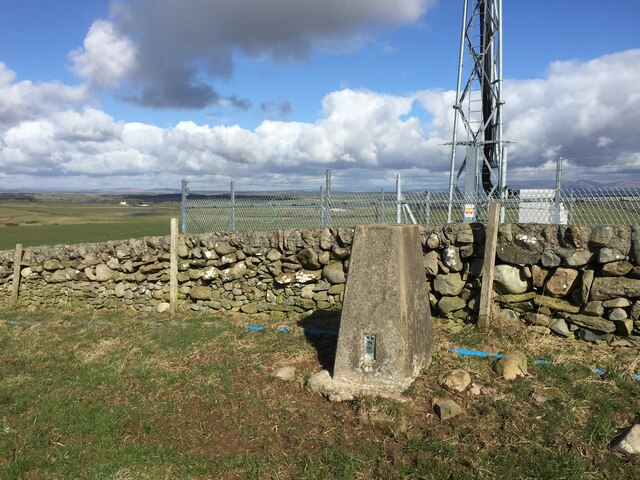
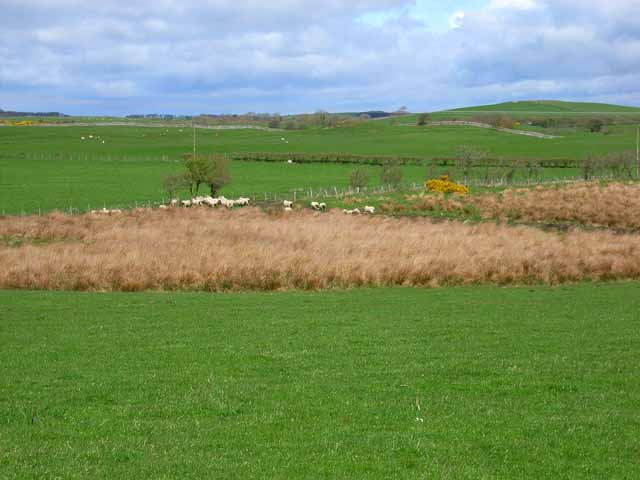
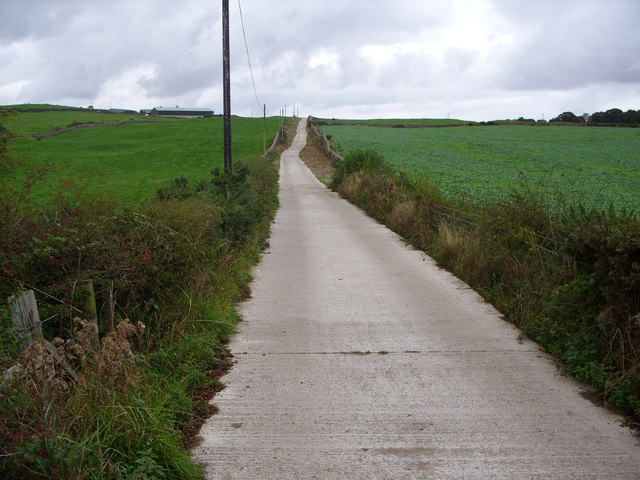
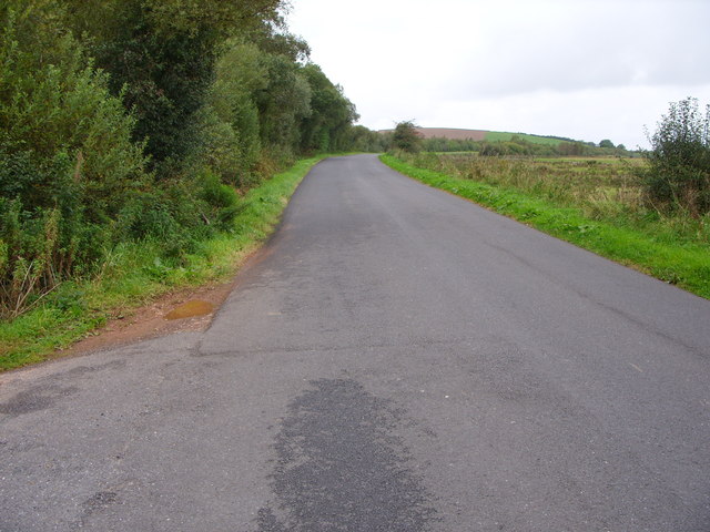
Rising to an elevation of approximately 244 meters (800 feet), Whaup Hill offers stunning panoramic views of the surrounding countryside. It is characterized by its gentle slopes and lush green vegetation, making it an ideal spot for nature enthusiasts and hikers alike. The hill is easily accessible, with several footpaths and trails leading to its summit.
The area surrounding Whaup Hill is rich in wildlife, and visitors can expect to encounter a variety of bird species, including whaups (also known as curlews), which give the village of Whauphill its name. This makes the hill a popular destination for birdwatchers and nature photographers.
In addition to its natural beauty, Whaup Hill also holds historical significance. Archaeological evidence suggests that the hill was once home to an Iron Age hillfort, providing a glimpse into the region's ancient past. The remains of this fortification can still be seen today, adding a touch of historical intrigue to the site.
Overall, Whaup Hill offers a blend of natural beauty, recreational opportunities, and historical interest to visitors. Whether one is seeking a peaceful hike, birdwatching, or a deeper connection to the region's past, a visit to Whaup Hill is sure to be a rewarding experience.
If you have any feedback on the listing, please let us know in the comments section below.
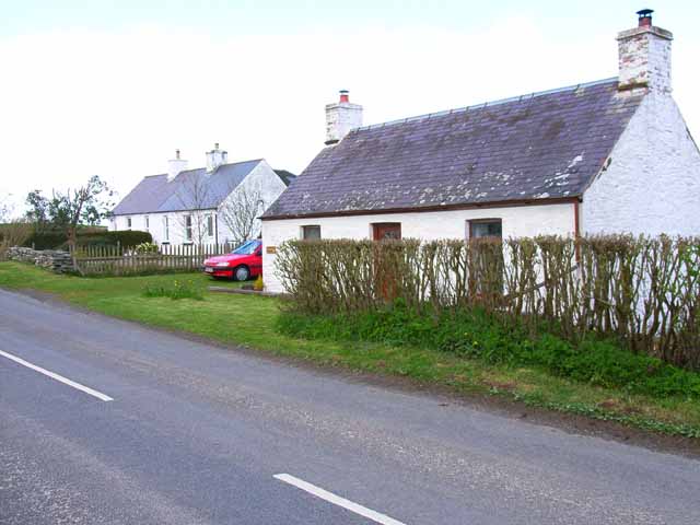
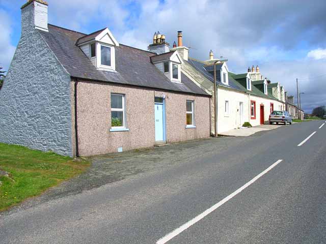
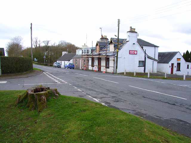
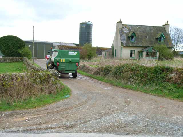
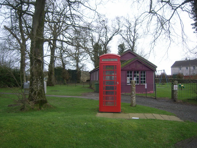
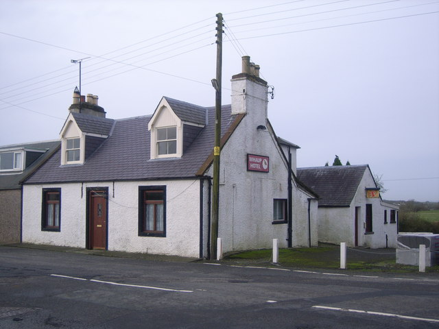
Whaup Hill Images
Images are sourced within 2km of 54.813377/-4.4878372 or Grid Reference NX4049. Thanks to Geograph Open Source API. All images are credited.


Whaup Hill is located at Grid Ref: NX4049 (Lat: 54.813377, Lng: -4.4878372)
Unitary Authority: Dumfries and Galloway
Police Authority: Dumfries and Galloway
What 3 Words
///qualifier.globe.breathed. Near Whithorn, Dumfries & Galloway
Nearby Locations
Related Wikis


Nearby Amenities
Located within 500m of 54.813377,-4.4878372Have you been to Whaup Hill?
Leave your review of Whaup Hill below (or comments, questions and feedback).