Barmore Hill

Hill, Mountain in Renfrewshire

Scotland

Barmore Hill

View from Corsliehill Road Dog rose hedge. Typical farmland for this area.
View from Corsliehill Road Credit: wfmillar

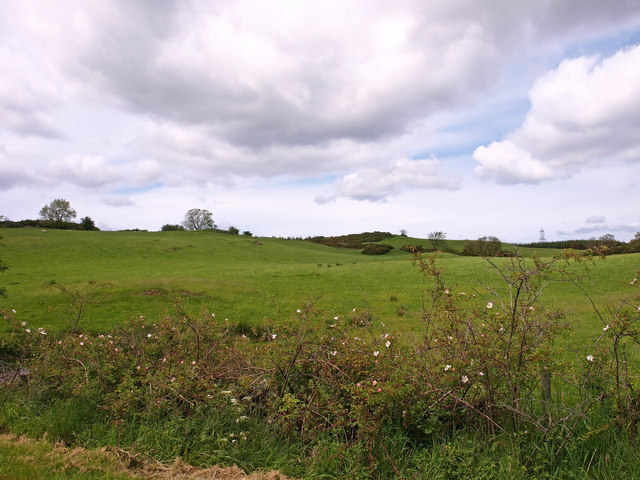
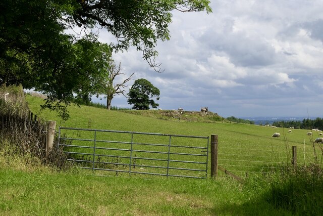
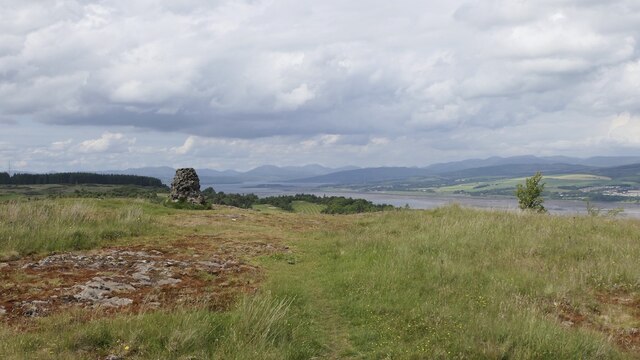
Barmore Hill is a prominent hill located in Renfrewshire, Scotland. It is part of the Gleniffer Braes Country Park and offers stunning panoramic views of the surrounding landscape. Rising to an elevation of approximately 280 meters (918 feet), it is one of the highest points in the area, making it a popular destination for outdoor enthusiasts and hikers.

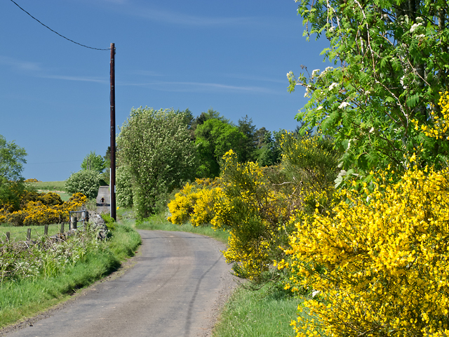
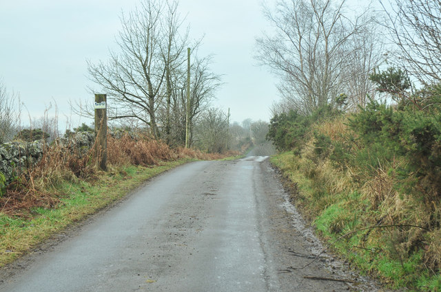
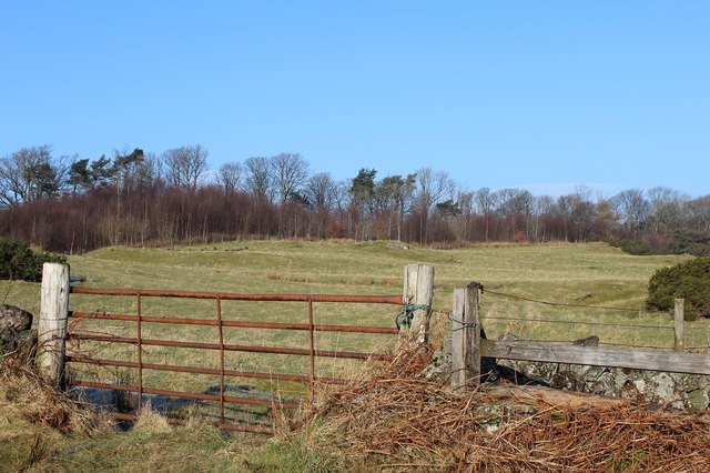
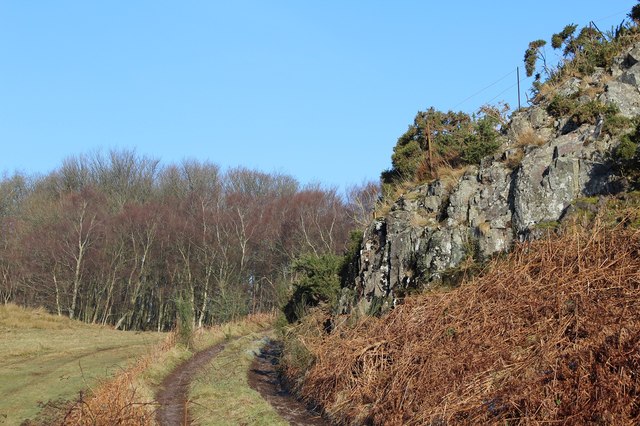
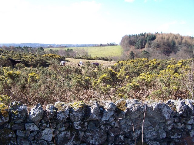
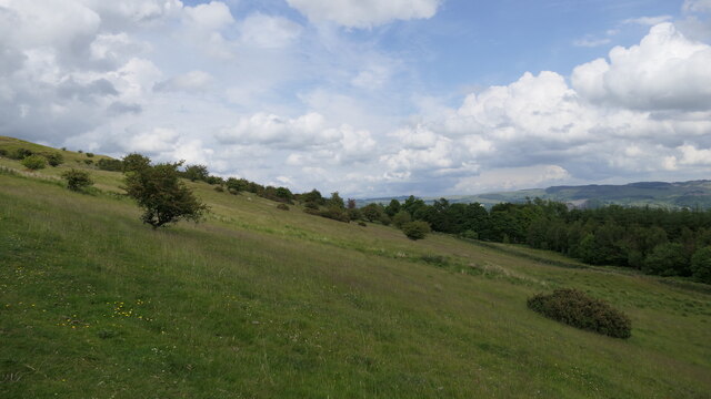
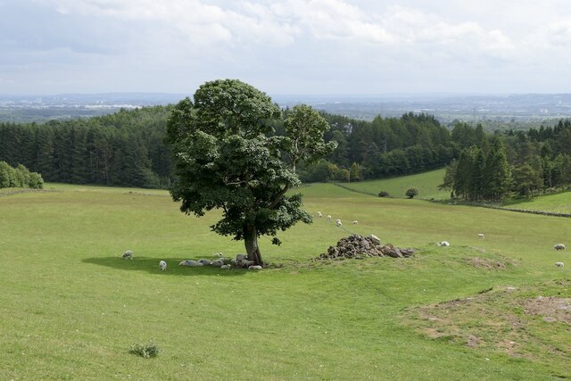
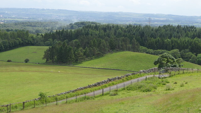
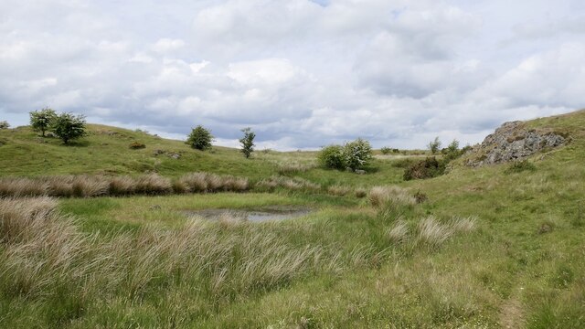
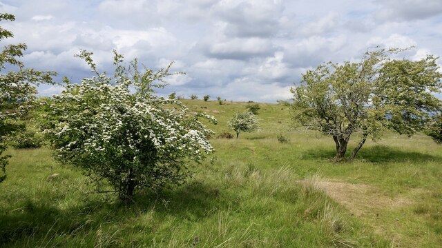
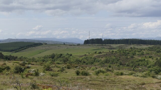
The hill is characterized by its gently sloping grassy terrain, which is adorned with patches of heather and scattered trees. Its accessible paths and trails make it suitable for people of all fitness levels, providing opportunities for both leisurely walks and more challenging hikes. There are various routes to reach the summit, each offering a different level of difficulty.

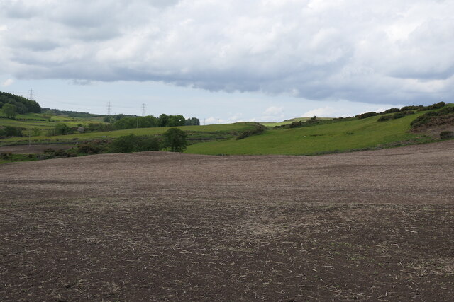
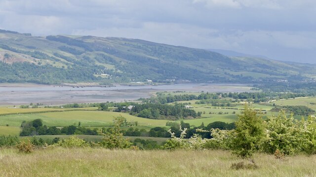
From the top of Barmore Hill, visitors are rewarded with breathtaking views of the nearby towns of Paisley and Renfrew, as well as the River Clyde and surrounding countryside. On clear days, it is even possible to see the distant mountains of the Trossachs National Park.

Barmore Hill is also home to a diverse range of wildlife, including birds, rabbits, and deer. The area is designated as a Site of Special Scientific Interest (SSSI) due to its ecological importance, particularly the rare plant species found on the hillside.

Overall, Barmore Hill is a picturesque and tranquil location, offering visitors a chance to connect with nature, enjoy stunning views, and engage in outdoor activities.

If you have any feedback on the listing, please let us know in the comments section below.
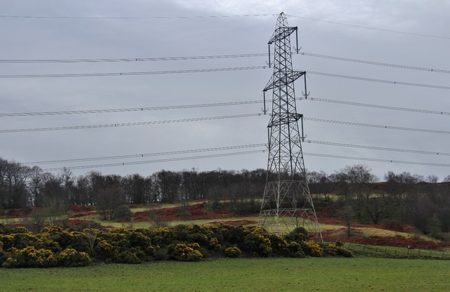
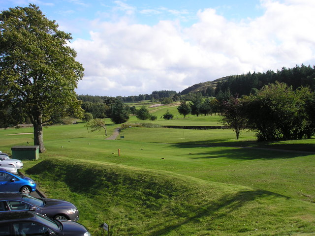
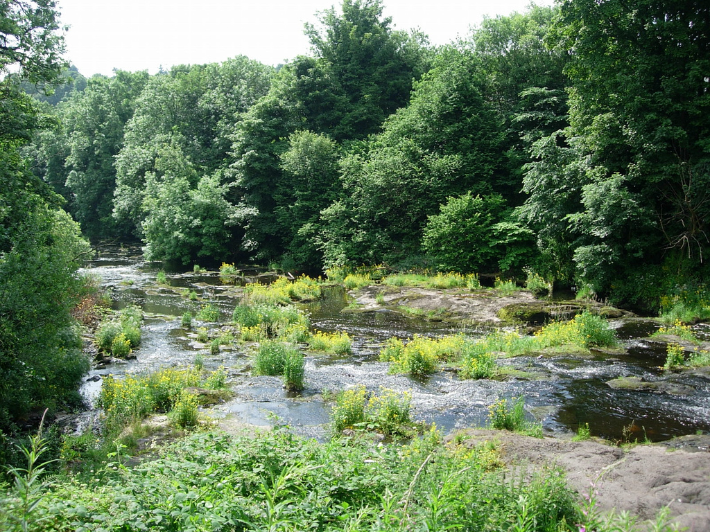
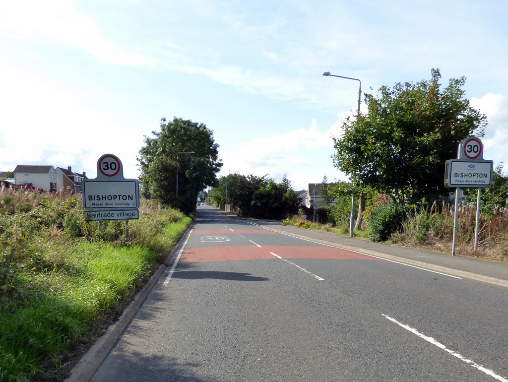
Barmore Hill Images

Images are sourced within 2km of 55.90488/-4.5572787 or Grid Reference NS4070. Thanks to Geograph Open Source API. All images are credited.

View from Corsliehill Road Dog rose hedge. Typical farmland for this area.
View from Corsliehill Road
Dog rose hedge. Typical farmland for this area.
Minor road near Shovelboard Broom and gorse lining a minor road near Shovelboard. This is a quiet road, popular with cyclists.
Minor road near Shovelboard
Broom and gorse lining a minor road near Shovelboard. This is a quiet road, popular with cyclists.
Corsliehill Road
Corsliehill Road
Grassland & woodland north of Corsliehill Road
Disused quarry & woodland north of Corsliehill Road
Horses for gorses Wraes Woods on the right
Horses for gorses
Wraes Woods on the right
Field, Barscube
Field, Barscube
East side of Barscube Hill
Farmland, Barscube A gate off Netherton Road.
Farmland, Barscube
A gate off Netherton Road.
Tree and clearance cairn, Barscube Seen from Netherton Road.
Tree and clearance cairn, Barscube
Seen from Netherton Road.
Netherton Road The tree next to the clearance cairn, <a href="https://www.geograph.org.uk/photo/6945787">NS3970 : Tree and clearance cairn, Barscube</a> can be seen behind the gates.
Netherton Road
The tree next to the clearance cairn, NS3970 : Tree and clearance cairn, Barscube can be seen behind the gates.
On Barscube Hill Intricate contour detail on the higher part of the hill.
On Barscube Hill
Intricate contour detail on the higher part of the hill.
Thorn trees on Barscube Hill
Summit, Barscube Hill Well worth the short time taken to get up here, a fine viewpoint. There is a stone built triangulation pillar.
Summit, Barscube Hill
Well worth the short time taken to get up here, a fine viewpoint. There is a stone built triangulation pillar.
Triangulation pillar, Barscube Hill
View up the Clyde from Barscube Hill
On Barscube Hill Looking westward.
On Barscube Hill
Looking westward.
Pylon by a bank of whin at Haddockston The fields are rising towards Corsliehills Wood.
Pylon by a bank of whin at Haddockston
The fields are rising towards Corsliehills Wood.
Show me another place!

Barmore Hill is located at Grid Ref: NS4070 (Lat: 55.90488, Lng: -4.5572787)

Unitary Authority: Renfrewshire

Police Authority: Renfrewshire and Inverclyde

What 3 Words

///retrial.etchings.disco. Near Bishopton, Renfrewshire

Related Wikis

Nearby Amenities

Located within 500m of 55.90488,-4.5572787
Power: tower
Source: Bing
Lat/Long: 55.903328/-4.5504446
Power: tower
Source: Bing
Lat/Long: 55.9051165/-4.5503306
Power: pole
Lat/Long: 55.9088464/-4.5556623
Power: pole
Lat/Long: 55.908196/-4.5548165
Power: pole
Lat/Long: 55.9078083/-4.5540249
Power: pole
Lat/Long: 55.9074113/-4.5531979
The data included in this document is from www.openstreetmap.org. The data is made available under ODbL.

Have you been to Barmore Hill?

Leave your review of Barmore Hill below (or comments, questions and feedback).