Barmore Plantation
Wood, Forest in Renfrewshire
Scotland
Barmore Plantation
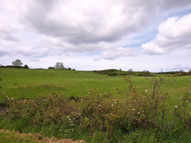
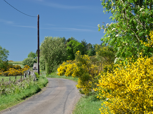
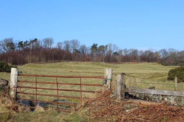
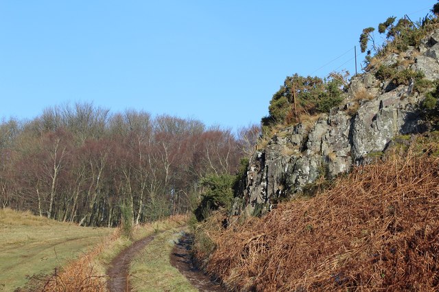
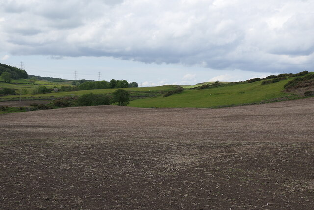
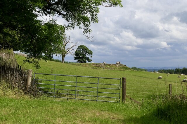
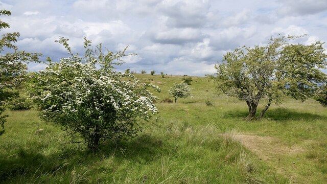
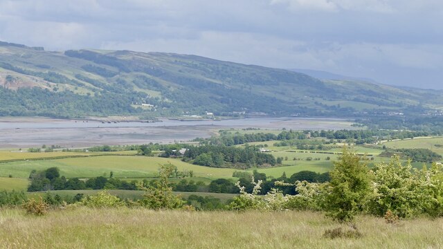
Barmore Plantation is a picturesque woodland area located in Renfrewshire, Scotland. Covering an expansive area, this plantation is known for its dense and diverse forest, making it a popular destination for nature enthusiasts and hikers.
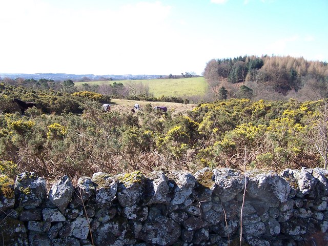
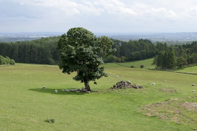
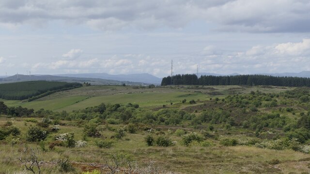
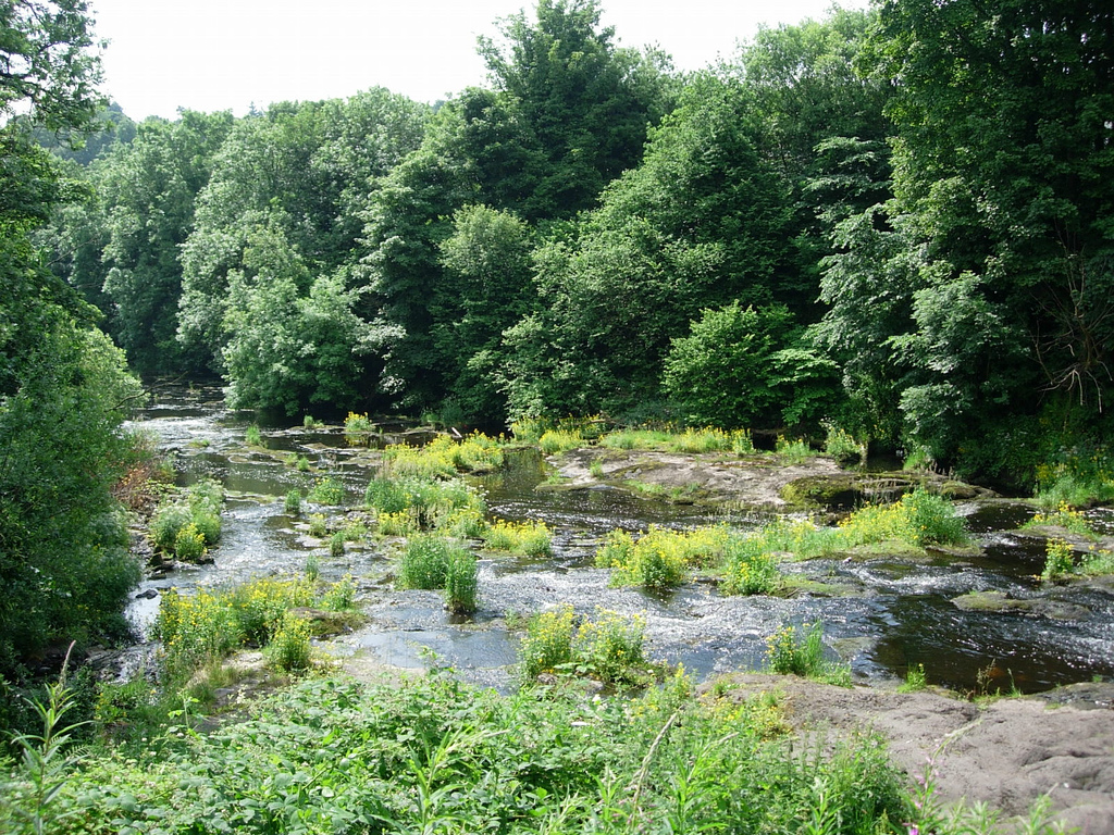
The plantation is characterized by a variety of tree species, including oak, birch, and pine trees, which provide a rich and vibrant canopy. The forest floor is covered with a thick layer of moss and ferns, creating a lush and verdant undergrowth. This diverse ecosystem supports a wide range of plant and animal life, including squirrels, birds, and various insects.
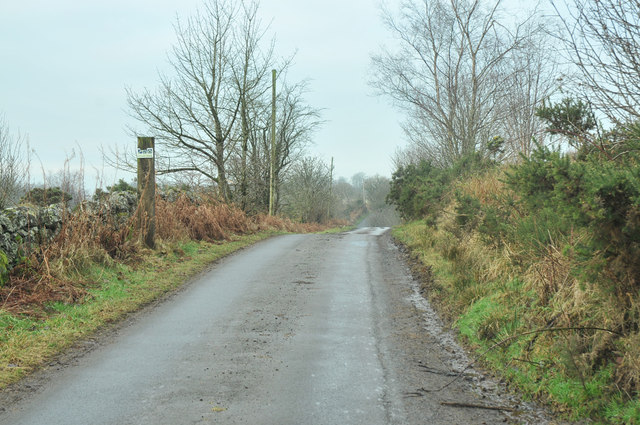
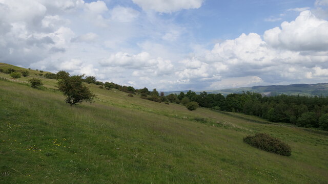
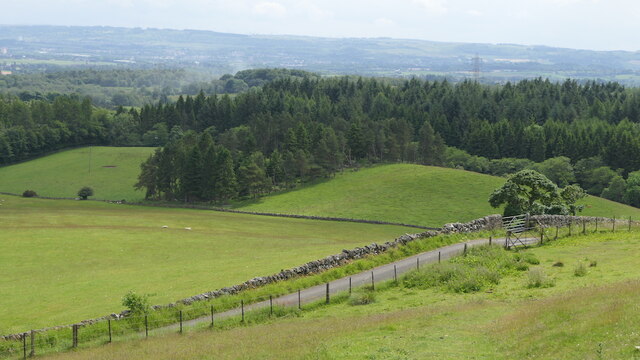
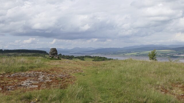
The pathways within Barmore Plantation offer visitors the opportunity to explore and immerse themselves in the peaceful surroundings. The well-maintained trails wind through the forest, leading to stunning viewpoints and hidden gems. Along the way, there are benches and picnic areas where visitors can stop and enjoy the tranquility of the woodland.
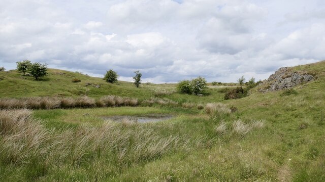
Furthermore, Barmore Plantation is also home to a variety of wildlife habitats, including ponds and wetlands. These ecosystems attract various species of waterfowl and amphibians, providing a unique opportunity for birdwatching and nature observation.
The plantation is open to the public year-round, with no admission fees. It is easily accessible by car and public transportation, making it a convenient destination for locals and tourists alike. Barmore Plantation offers a serene and enchanting escape into nature, providing a perfect setting for relaxation, exploration, and appreciation of Scotland's natural beauty.
If you have any feedback on the listing, please let us know in the comments section below.
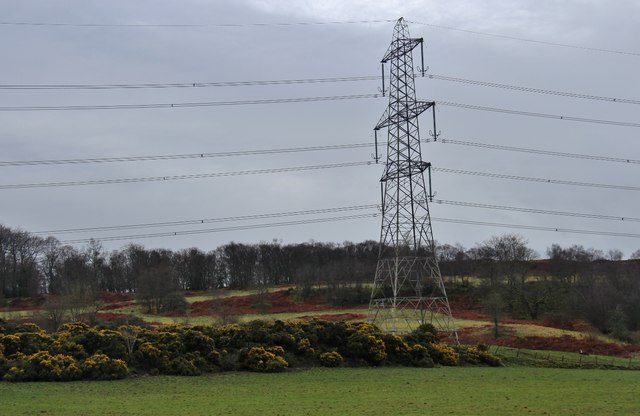
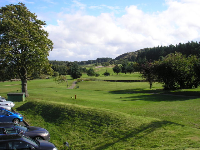
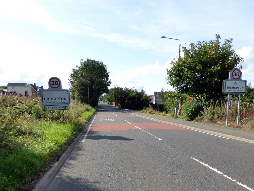
Barmore Plantation Images
Images are sourced within 2km of 55.905118/-4.5557424 or Grid Reference NS4070. Thanks to Geograph Open Source API. All images are credited.

Barmore Plantation is located at Grid Ref: NS4070 (Lat: 55.905118, Lng: -4.5557424)
Unitary Authority: Renfrewshire
Police Authority: Renfrewshire and Inverclyde
What 3 Words
///stealing.giggle.marketing. Near Bishopton, Renfrewshire
Nearby Locations
Related Wikis

Formakin House
Formakin House is an early 20th-century mansion and estate in Renfrewshire, Scotland. It is located 2 kilometres (1.2 mi) south of the Firth of Clyde,...
Gleddoch House Hotel & Golf Club
Gleddoch House Hotel & Golf Club is situated in a 360-acre estate in Langbank, Renfrewshire. == Hotel == Gleddoch House is a Victorian mansion built by...

Langbank
Langbank is a village on the south bank of the River Clyde in Renfrewshire, Scotland. It is 9.3 miles/15 km northwest from Paisley (Renfrewshire) and 3...

St Fillan's Kirk, Seat and Well
St Fillan's Kirk, Seat and Well are located in the hamlet of Kilallan, once the main religious centre of the ancient parish of Kilallan (Cill Fhaolain...

Langbank railway station
Langbank railway station serves the village of Langbank in Renfrewshire, Scotland. The station is on the Inverclyde Line, 16 miles (26 km) west of Glasgow...
Bishopton, Renfrewshire
Bishopton (/bɪʃəptən/) (Scots: Bishoptoun; Scottish Gaelic: Baile an Easbaig) is a village in Renfrewshire, Scotland. It is located around 2 miles (3 km...
Strathgryffe
Strathgryffe or Gryffe Valley (Scottish Gaelic: Srath Ghriobhaidh) is the strath of River Gryffe, which lies within the historic county of Renfrewshire...

ROF Bishopton
The Royal Ordnance Factory was a WW2 Ministry of Supply Explosive Factory. It is sited adjacent to the village of Bishopton in Renfrewshire, Scotland....
Nearby Amenities
Located within 500m of 55.905118,-4.5557424Have you been to Barmore Plantation?
Leave your review of Barmore Plantation below (or comments, questions and feedback).