Broad Wood

Wood, Forest in Ayrshire

Scotland

Broad Wood

A cutting on the Ayr-Dumfries rail line
A cutting on the Ayr-Dumfries rail line Credit: Alan Reid

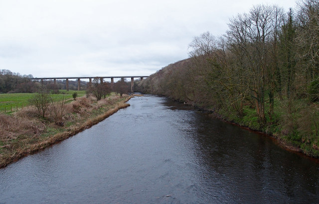
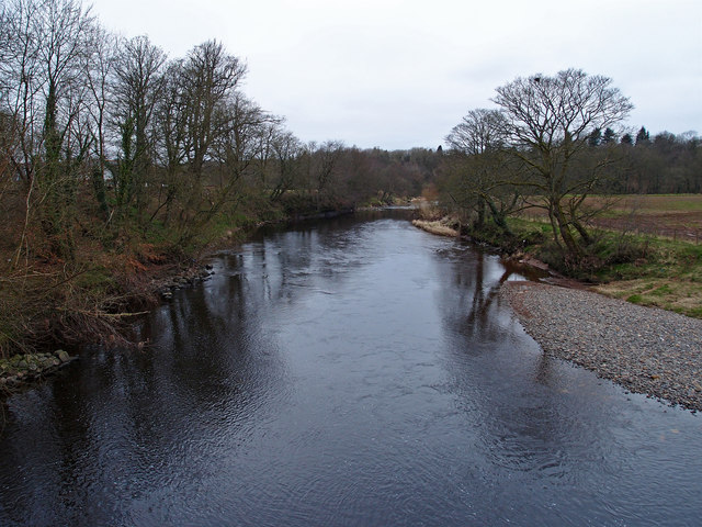
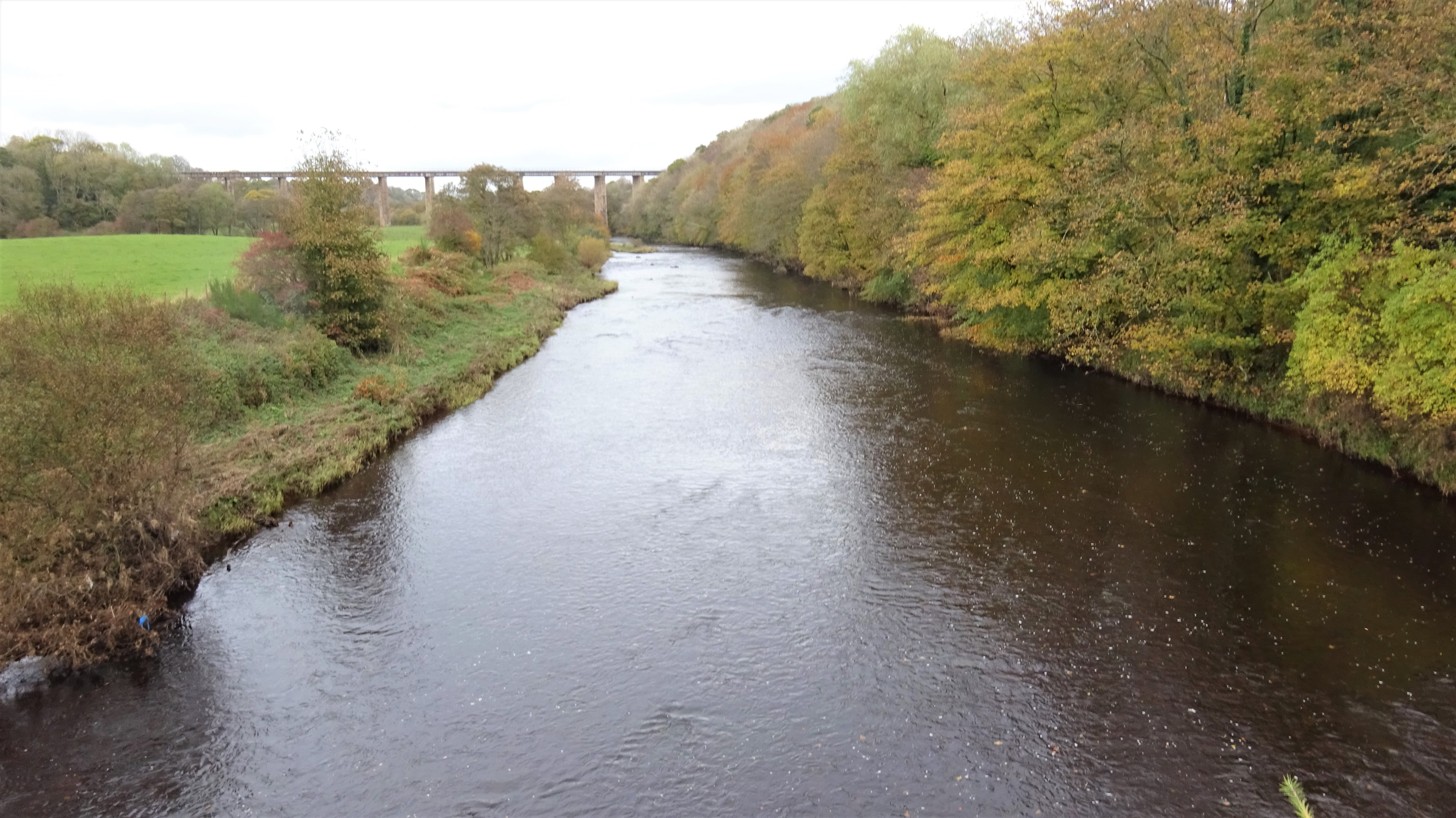
Broad Wood is a picturesque forest located in the region of Ayrshire, Scotland. Covering an expansive area of land, this wood is renowned for its natural beauty and diverse range of flora and fauna.

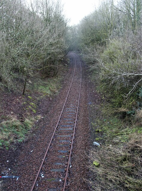
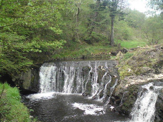
The woodland is predominantly composed of broadleaved trees, such as oak, beech, and birch, which create a dense canopy overhead, providing shade and shelter for the numerous wildlife species that call this forest home. The forest floor is carpeted with a rich layer of moss and ferns, adding to its enchanting atmosphere.

Visitors to Broad Wood can explore its extensive network of walking trails, which wind their way through the forest, offering stunning views of the surrounding landscape. These trails cater to all levels of fitness and provide opportunities for leisurely strolls or more challenging hikes. Along the way, hikers may encounter a variety of wildlife, including red deer, squirrels, and a plethora of bird species.

The forest is also home to a number of historical landmarks, including ancient stone circles and burial mounds, which provide a glimpse into the region's rich cultural heritage. These sites offer visitors a chance to step back in time and learn about the ancient civilizations that once inhabited this area.

Overall, Broad Wood is a natural haven for outdoor enthusiasts and nature lovers alike. Its pristine beauty, diverse wildlife, and historical significance make it a must-visit destination for anyone seeking to experience the wonders of the Scottish countryside.

If you have any feedback on the listing, please let us know in the comments section below.

Broad Wood Images

Images are sourced within 2km of 55.46935/-4.5277108 or Grid Reference NS4022. Thanks to Geograph Open Source API. All images are credited.

A cutting on the Ayr-Dumfries rail line
Brown's Crescent, Annbank
B744 through Annbank
Annbank Cemetery and Parish Church
Sundrum Castle
Sundrum Castle
Ness Waterfall Locally known as Sundrum Falls
Ness Waterfall
Locally known as Sundrum Falls
Wooded Drive Drive to Sundrum Holiday Park.
Wooded Drive
Drive to Sundrum Holiday Park.
Gadgrith Bridge Old now weak bridge carrying the B742 over the River Ayr.
Gadgrith Bridge
Old now weak bridge carrying the B742 over the River Ayr.
Manufacturers Plate, Gadgrith Bridge See <a href="https://www.geograph.org.uk/photo/2846007">NS4122 : Gadgrith Bridge</a> for the bridge.
Manufacturers Plate, Gadgrith Bridge
See NS4122 : Gadgrith Bridge for the bridge.
Crawfordston Farm Wet farmland near the River Ayr
Crawfordston Farm
Wet farmland near the River Ayr
River Ayr Looking upstream from Gadgrith Bridge to the Enterkine Railway Viaduct.
River Ayr
Looking upstream from Gadgrith Bridge to the Enterkine Railway Viaduct.
River Ayr Looking downstream from Gadgrith Bridge.
River Ayr
Looking downstream from Gadgrith Bridge.
View southwest along footpath near Brocklehill, Annbank
On River Ayr Way approaching Enterkine Viaduct
On the River Ayr Way - log jam on the River Ayr, south of Annbank
Annbank Community Centre and Football Ground With the main road [Weston Avenue, B744] and Goodwin Drive to its left.
Annbank Community Centre and Football Ground
With the main road [Weston Avenue, B744] and Goodwin Drive to its left.
Annbank from the northwest An aerial view on approach to Glasgow Prestwick airport.
Annbank from the northwest
An aerial view on approach to Glasgow Prestwick airport.
Gadgirth Mains Seen on approach to Prestwick. The circular enclosure has at its centre, according to the map, an obelisk, but it is not apparent in this view. The River Ayr and the edge of Annbank are at the right [northwest] of the picture.
Gadgirth Mains
Seen on approach to Prestwick. The circular enclosure has at its centre, according to the map, an obelisk, but it is not apparent in this view. The River Ayr and the edge of Annbank are at the right [northwest] of the picture.
Show me another place!

Broad Wood is located at Grid Ref: NS4022 (Lat: 55.46935, Lng: -4.5277108)

Unitary Authority: South Ayrshire

Police Authority: Ayrshire

What 3 Words

///meal.singer.absent. Near Mossblown, South Ayrshire

Nearby Locations

Broad Wood

Related Wikis

Annbank

Annbank is a village in South Ayrshire, Scotland. It is around five miles east of Ayr. Originally a mining settlement, it once had a rail link to Ayr via...

Gadgirth Old Ha'

The castle known as Gadgirth Old Ha' or Gadgirth Old Hall, was the first castle at Gadgirth, held by the Chalmer family, standing on a whinstone promontory...

Castle and Barony of Gadgirth

The Castle and Barony of Gadgirth was held by the Chalmer family, originally De Camera, with successive castles and a mansion house overlooking the River...

Annbank United F.C.

Annbank United Football Club are a Scottish football club from Annbank, South Ayrshire. Formed in 1939, they are based at New Pebble Park and are nicknamed...

Nearby Amenities

Located within 500m of 55.46935,-4.5277108
Place: farm
Lat/Long: 55.4712838/-4.529257
Power: pole
Lat/Long: 55.4668864/-4.5217013
Power: pole
Lat/Long: 55.4669223/-4.5228617
Power: pole
Lat/Long: 55.4669457/-4.5241012
Power: pole
Lat/Long: 55.4669749/-4.5252142
Power: pole
Lat/Long: 55.4672057/-4.5267343
Power: pole
Lat/Long: 55.4674598/-4.5282199
Power: pole
Lat/Long: 55.4676891/-4.5297382
Power: pole
Lat/Long: 55.4679046/-4.5311384
Power: pole
Lat/Long: 55.4681059/-4.5323825
Power: pole
Lat/Long: 55.468329/-4.5337578
Power: pole
Lat/Long: 55.468497/-4.5349069
Power: pole
Lat/Long: 55.4721377/-4.5216357
Power: pole
Lat/Long: 55.4723493/-4.5225948
Power: pole
Lat/Long: 55.469558/-4.525454
Power: pole
Lat/Long: 55.470067/-4.5250491
Power: pole
Lat/Long: 55.4704466/-4.5247527
Power: pole
Lat/Long: 55.4710146/-4.5252232
Power: pole
Lat/Long: 55.4710748/-4.525273
Power: pole
Lat/Long: 55.4717197/-4.5340632
Power: pole
Lat/Long: 55.4719826/-4.5328417
Power: pole
Lat/Long: 55.471812/-4.5319776
Power: pole
Lat/Long: 55.4715851/-4.5308081
Power: pole
Lat/Long: 55.4714492/-4.5301929
Generator Method: photovoltaic
Generator Output Electricity: yes
Generator Source: solar
Generator Type: solar_photovoltaic_panel
Power: generator
Lat/Long: 55.4727283/-4.5243654
Generator Method: photovoltaic
Generator Output Electricity: yes
Generator Source: solar
Generator Type: solar_photovoltaic_panel
Power: generator
Lat/Long: 55.4719787/-4.5260726
Generator Method: photovoltaic
Generator Output Electricity: yes
Generator Source: solar
Generator Type: solar_photovoltaic_panel
Power: generator
Lat/Long: 55.4720382/-4.5259905
Generator Method: photovoltaic
Generator Output Electricity: yes
Generator Source: solar
Generator Type: solar_photovoltaic_panel
Power: generator
Lat/Long: 55.4708726/-4.5262371
The data included in this document is from www.openstreetmap.org. The data is made available under ODbL.

Have you been to Broad Wood?

Leave your review of Broad Wood below (or comments, questions and feedback).