Carn Beag

Hill, Mountain in Ross-shire

Scotland

Carn Beag

View from north-west ridge of Carn a'Choin Deirg Taken from near the subsidiary 623m summit, looking down to Loch an Tuill Riabhaich. The slightly pointed peak to the distance left is the "corbett" Carn Chuinneag, while Ben Wyvis is the large hill in the far distance
View from north-west ridge of Carn a'Choin Deirg Credit: Andrew Spenceley

Carn Beag, located in Ross-shire, Scotland, is a prominent hill/mountain with a rich natural and historical significance. Standing at an elevation of 586 meters (1,923 feet), it is a popular destination for hikers, mountaineers, and nature enthusiasts.

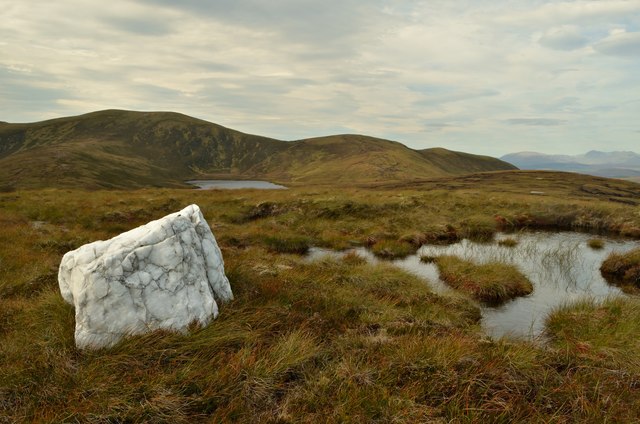
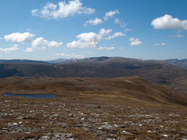
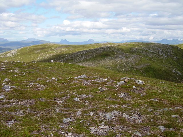
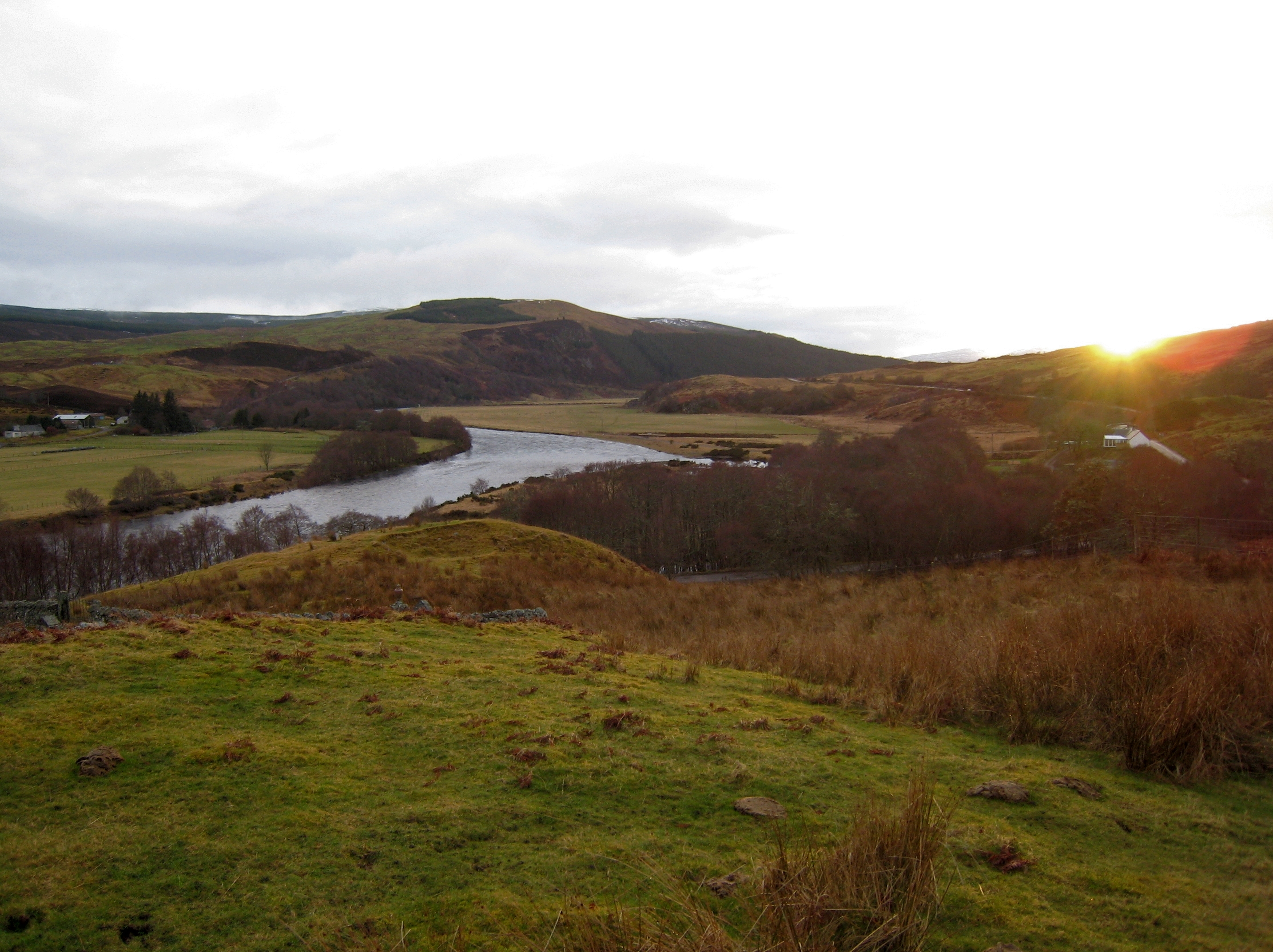
Carn Beag is part of the larger Fannichs mountain range and is situated within the scenic wilderness of the Scottish Highlands. Its summit offers breathtaking panoramic views of the surrounding landscape, including the nearby Loch Fannich and surrounding mountains.

The ascent to the summit of Carn Beag is relatively straightforward, with a well-defined path leading through heather-clad slopes. While not technically challenging, the hill requires a moderate level of fitness and appropriate outdoor gear due to its steep inclines and potentially changeable weather conditions.

Aside from its natural beauty, Carn Beag also holds historical significance. The area is scattered with remnants of ancient settlements, including stone circles and burial cairns, providing a glimpse into the lives of early inhabitants.

Wildlife is abundant in Carn Beag and its surroundings. The hill is home to a variety of bird species, such as golden eagles and ptarmigans, while red deer can often be spotted grazing on the lower slopes.

Whether it's for the stunning vistas, the sense of adventure, or the rich historical heritage, Carn Beag offers an unforgettable experience for those seeking to explore the rugged beauty of the Scottish Highlands.

If you have any feedback on the listing, please let us know in the comments section below.

Carn Beag Images

Images are sourced within 2km of 57.897755/-4.697296 or Grid Reference NH4093. Thanks to Geograph Open Source API. All images are credited.

View from north-west ridge of Carn a'Choin Deirg Taken from near the subsidiary 623m summit, looking down to Loch an Tuill Riabhaich. The slightly pointed peak to the distance left is the "corbett" Carn Chuinneag, while Ben Wyvis is the large hill in the far distance
View from north-west ridge of Carn a'Choin Deirg
Taken from near the subsidiary 623m summit, looking down to Loch an Tuill Riabhaich. The slightly pointed peak to the distance left is the "corbett" Carn Chuinneag, while Ben Wyvis is the large hill in the far distance
Carn a'Ghorm Loch From just north of the 623m spot height looking at down on Carn a'Ghorm Loch. A superb viewpoint looking north west. In this photo can be seen Ben Hee, Ben Hope, Ben Loyal and Ben Klibreck to name a few.
Carn a'Ghorm Loch
From just north of the 623m spot height looking at down on Carn a'Ghorm Loch. A superb viewpoint looking north west. In this photo can be seen Ben Hee, Ben Hope, Ben Loyal and Ben Klibreck to name a few.
South side of Strath Cuileannach The heathery southern side of Strath Cuileannach. The forest marked on the map further east along the slope is actually scattered young trees, so hard to spot in the photo.
South side of Strath Cuileannach
The heathery southern side of Strath Cuileannach. The forest marked on the map further east along the slope is actually scattered young trees, so hard to spot in the photo.
Heather in Strath Cuileannach In the distance can be seen (l to r) Suilven, Canisp, Breabag, Conival and Ben More Assynt.
Heather in Strath Cuileannach
In the distance can be seen (l to r) Suilven, Canisp, Breabag, Conival and Ben More Assynt.
Coire nan Laghaich, Ross-shire The bottom of the valley of Coire nan Laghaich.
Coire nan Laghaich, Ross-shire
The bottom of the valley of Coire nan Laghaich.
White Boulder on Unnamed Summit, Ross-shire This conspicuous and unusual white boulder marks an unnamed summit at 557 m (1827 ft) in the Scottish Highlands.  The summit is part of a ridge that runs east from the hill of Carn a' Choin Deirg, just over 1 mile away and visible in this photo.
White Boulder on Unnamed Summit, Ross-shire
This conspicuous and unusual white boulder marks an unnamed summit at 557 m (1827 ft) in the Scottish Highlands. The summit is part of a ridge that runs east from the hill of Carn a' Choin Deirg, just over 1 mile away and visible in this photo.
Wooden Crate on the Hills, Alladale Estate On the hills above Alladale, Scottish Highlands.  Purpose unknown.  Something to do with the local estate who manage the land.  The spacing of the wire seems too large for this to be any kind of animal trap.
Wooden Crate on the Hills, Alladale Estate
On the hills above Alladale, Scottish Highlands. Purpose unknown. Something to do with the local estate who manage the land. The spacing of the wire seems too large for this to be any kind of animal trap.
Summit of Carn a' Chion Deirg, Scottish Highlands The OS trig point on top of the hill Carn a' Choin Deirg (701m).  On the distant horizon, the peaks of the Assynt region are visible.
Summit of Carn a' Chion Deirg, Scottish Highlands
The OS trig point on top of the hill Carn a' Choin Deirg (701m). On the distant horizon, the peaks of the Assynt region are visible.
Mountain ridge extending to Carn a’ Choin Deirg Carn a’ Choin Deirg is seen along a high level ridge from a point at 667m; the intervening top is recorded as being at 665m.
Mountain ridge extending to Carn a’ Choin Deirg
Carn a’ Choin Deirg is seen along a high level ridge from a point at 667m; the intervening top is recorded as being at 665m.
Stoniness of south ridge of Carn a’ Choin Deirg The south ridge of Carn a’ Choin Deirg is thinly vegetated and liberally scattered with flattish stones. The bulky rounded mountain of Carn Ban lies beyond.
Stoniness of south ridge of Carn a’ Choin Deirg
The south ridge of Carn a’ Choin Deirg is thinly vegetated and liberally scattered with flattish stones. The bulky rounded mountain of Carn Ban lies beyond.
South top, Càrn a'Choin Dheirg Some minor tops on the ridge of Càrn a'Choin Dheirg, Glen Alladale. Distant view beyond the ridge to the inselbergs of Assynt and Coigach.
South top, Càrn a'Choin Dheirg
Some minor tops on the ridge of Càrn a'Choin Dheirg, Glen Alladale. Distant view beyond the ridge to the inselbergs of Assynt and Coigach.
Experiment Looking at the effects of deer grazing on the high meadows of Càrn a'Choin Dheirg. The cage keeps their noses out. There is little difference. Land this high is little altered by human economic activity other than the extinctions that the owner of this estate is pledged to reverse. True wilderness.
Experiment
Looking at the effects of deer grazing on the high meadows of Càrn a'Choin Dheirg. The cage keeps their noses out. There is little difference. Land this high is little altered by human economic activity other than the extinctions that the owner of this estate is pledged to reverse. True wilderness.
Inselbergs Scotland's Monument Valley. The isolated peaks of Coigach and Assynt. (left to right) Beinn an Eoin/Sgòrr Tuath, Cùl Beag, Cùl Mòr, Suilven, Canisp and Ben More.
As seen from the ridge of Càrn a'Choin Dheirg.
Inselbergs
Scotland's Monument Valley. The isolated peaks of Coigach and Assynt. (left to right) Beinn an Eoin/Sgòrr Tuath, Cùl Beag, Cùl Mòr, Suilven, Canisp and Ben More. As seen from the ridge of Càrn a'Choin Dheirg.
Arctic vegetation Plants clinging to the windswept infertile plateau of Càrn a'Choin Dheirg.
Arctic vegetation
Plants clinging to the windswept infertile plateau of Càrn a'Choin Dheirg.
Sharp rock Probably raised for a navigation marker by stalkers. A striking summit marker on the ridge south of Càrn a'Choin Dheirg.
Sharp rock
Probably raised for a navigation marker by stalkers. A striking summit marker on the ridge south of Càrn a'Choin Dheirg.
Stone stripes Stones arranged into stripes by frost action after the ice age. On the southern slopes of Càrn a'Choin Dheirg.
Stone stripes
Stones arranged into stripes by frost action after the ice age. On the southern slopes of Càrn a'Choin Dheirg.
Càrn a'Choin Dheirg The summit with a view over to Seana Bhraigh.
Càrn a'Choin Dheirg
The summit with a view over to Seana Bhraigh.
Càrn a'Choin Dheirg The summit cone (702m) above a small lochan on the south ridge. Stone striping is very clear.
Càrn a'Choin Dheirg
The summit cone (702m) above a small lochan on the south ridge. Stone striping is very clear.
Show me another place!

Carn Beag is located at Grid Ref: NH4093 (Lat: 57.897755, Lng: -4.697296)

Unitary Authority: Highland

Police Authority: Highlands and Islands

What 3 Words

///trains.crispy.producing. Near Lairg, Highland

Related Wikis

Have you been to Carn Beag?

Leave your review of Carn Beag below (or comments, questions and feedback).