Albourne Green
Settlement in Sussex Mid Sussex
England
Albourne Green
Albourne Green is a picturesque village located in the county of Sussex, England. Situated in the Mid Sussex District, it is nestled in the South Downs National Park, offering residents and visitors stunning views of the surrounding countryside.
The village is renowned for its charming and tranquil atmosphere, making it an ideal retreat for those seeking a peaceful escape from the hustle and bustle of city life. It boasts a close-knit community and is home to a population of approximately 500 people.
Albourne Green is characterized by its traditional architecture, with many buildings dating back to the 17th and 18th centuries. The village is dotted with quaint cottages and country houses, adding to its overall charm.
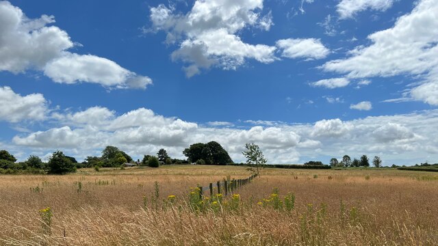
Nature enthusiasts will find plenty to explore in Albourne Green. The village is surrounded by rolling hills, woodlands, and meadows, providing numerous opportunities for hiking, cycling, and wildlife spotting. The South Downs Way, a long-distance footpath, is easily accessible from the village, offering breathtaking views and a chance to discover the area's natural beauty.
Despite its rural setting, Albourne Green benefits from its proximity to nearby towns such as Burgess Hill and Haywards Heath, where residents can access a wide range of amenities, including shops, restaurants, and schools.
Overall, Albourne Green offers a tranquil and idyllic setting, making it a sought-after destination for those seeking a peaceful village lifestyle amidst the stunning natural beauty of Sussex.
If you have any feedback on the listing, please let us know in the comments section below.
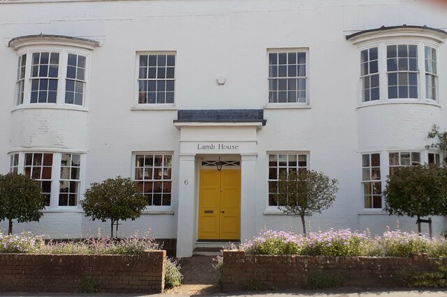
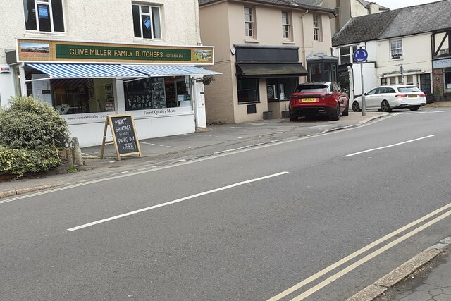
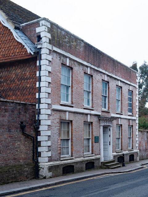
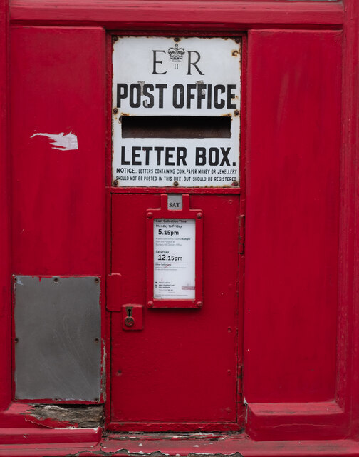
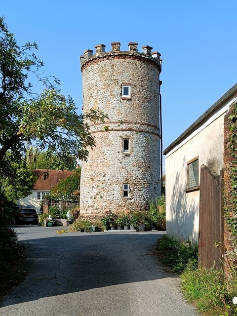
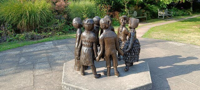
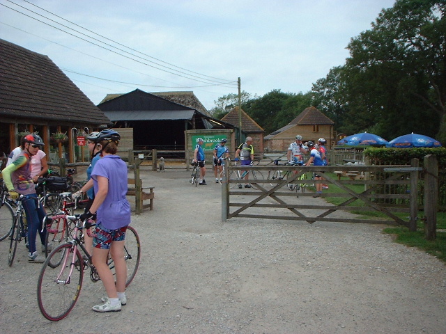
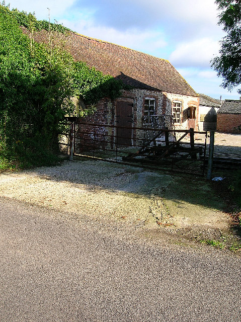
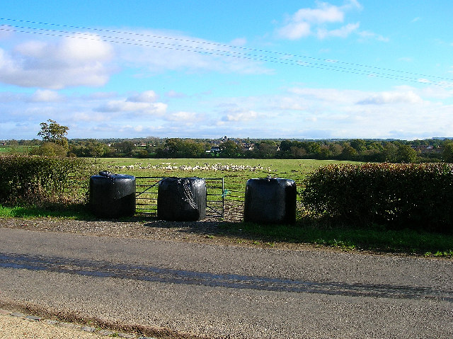
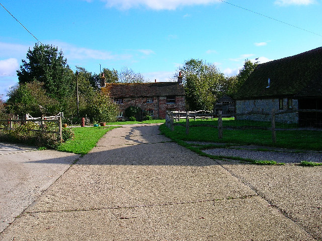
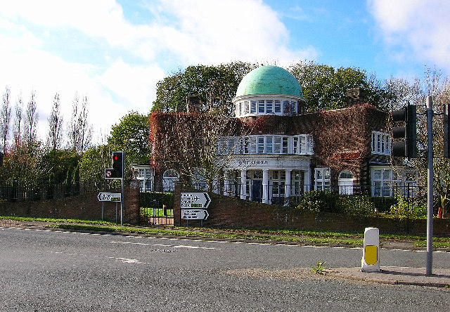
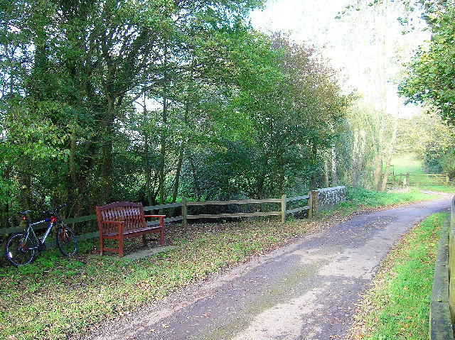
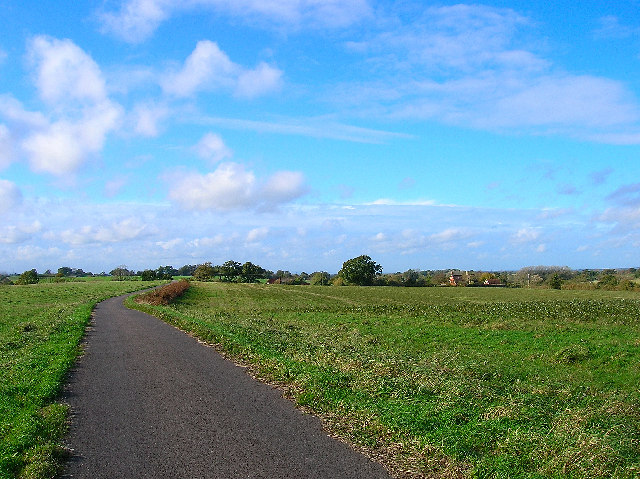
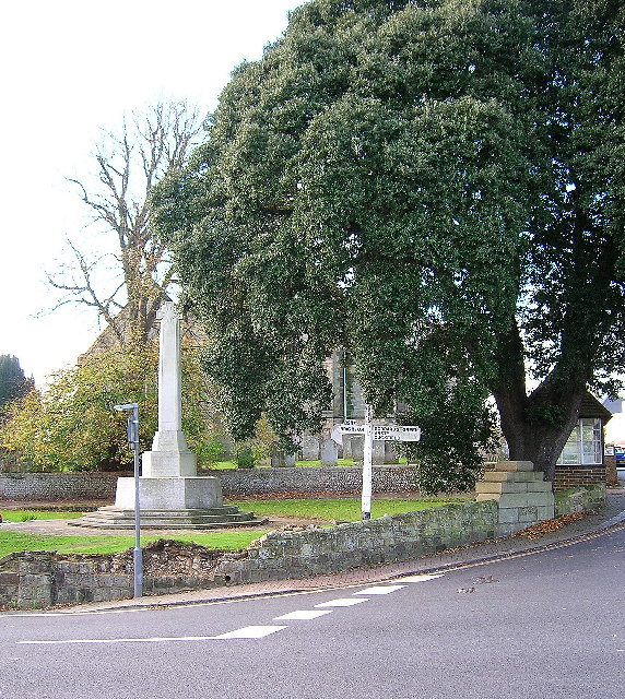
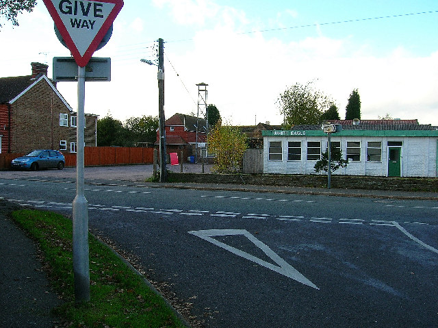
Albourne Green Images
Images are sourced within 2km of 50.937346/-0.204027 or Grid Reference TQ2616. Thanks to Geograph Open Source API. All images are credited.
Albourne Green is located at Grid Ref: TQ2616 (Lat: 50.937346, Lng: -0.204027)
Administrative County: West Sussex
District: Mid Sussex
Police Authority: Sussex
What 3 Words
///fatherly.thrilled.prices. Near Hurstpierpoint, West Sussex
Nearby Locations
Related Wikis

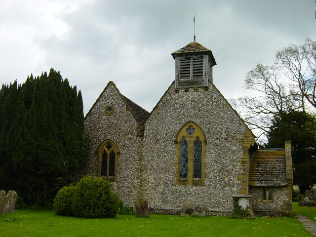
Albourne
Albourne is a village and civil parish in the Mid Sussex district of West Sussex, England. It lies just off the A23 road three miles (4.8 km) east of Henfield...

Mansion House, Hurstpierpoint
Mansion House is a prominent and historically significant Grade II* listed Georgian village property in Hurstpierpoint, West Sussex, England. The substantial...
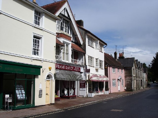
Hurstpierpoint
Hurstpierpoint is a village in West Sussex, England, 4 miles (6.4 km) southwest of Burgess Hill, and 1.5 miles (2.4 km) west of Hassocks railway station...

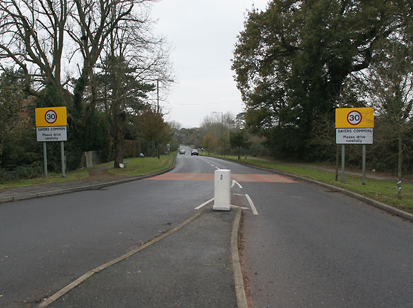
Sayers Common
Sayers Common is a village in the Mid Sussex District of West Sussex, England. With Hurstpierpoint it forms one of the Mid Sussex parishes. It is located...
Hurstpierpoint and Sayers Common
Hurstpierpoint and Sayers Common is a civil parish in Mid Sussex District, West Sussex, England. == Settlements == === Major settlements === Hurstpierpoint...
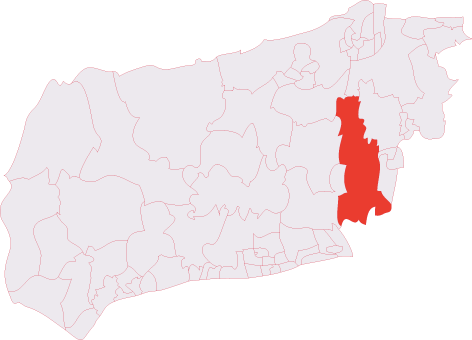
Hurstpierpoint & Bolney (electoral division)
Hurstpierpoint & Bolney is an electoral division of West Sussex in the United Kingdom, and returns one member to sit on West Sussex County Council. �...

Blackstone, West Sussex
Blackstone is a hamlet in the civil parish of Woodmancote and the Horsham district of West Sussex, England. Blackstone is significant for its listed...

Hurstpierpoint College
Hurstpierpoint College is a public school (English private boarding and day school), located just north of the village of Hurstpierpoint, West Sussex....
Related Videos
Celebrity Homes - Village Walk | Slimming World Body Magic
Celebrity homes and Village life and body magic is great when needed to up my step count. I would like to see around your village ...

A Guided Walk Through the Historic Village of Hurstpierpoint: A Tour with the late Ian Nelson
The Late Ian Nelson takes you on a guided walk through the historic Village of Hurstpierpoint circa 2014. Ian Nelson had a ...


Having Fun in QLEISURE: The Best Place for Outdoor Activities
Join us as we are going for outdoor activities, i.e. Qleisure near London Rd, Albourne, Hassocks. Qleisure is the best destination ...
Nearby Amenities
Located within 500m of 50.937346,-0.204027Have you been to Albourne Green?
Leave your review of Albourne Green below (or comments, questions and feedback).