Albourne

Settlement in Sussex Mid Sussex

England

Albourne

Field boundary west of Wick Farm
Field boundary west of Wick Farm Credit: Ian Cunliffe

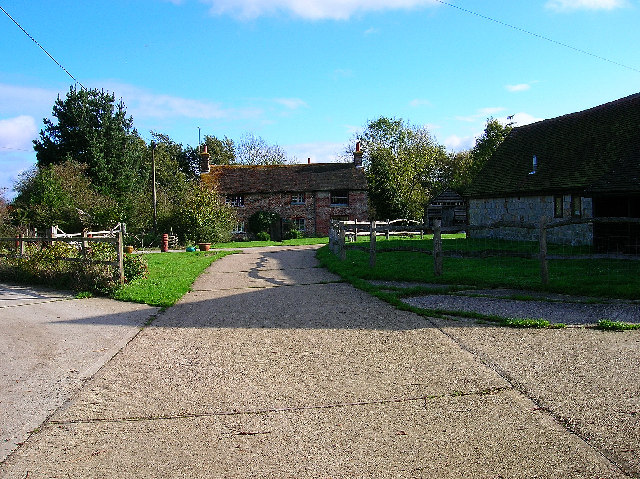
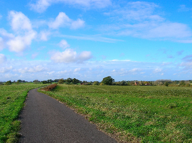
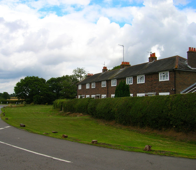
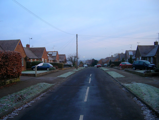
Albourne is a village located in the Mid Sussex district of West Sussex, England. Situated approximately 8 miles north of Brighton and 15 miles south of Gatwick Airport, it lies in the picturesque South Downs National Park. The village is surrounded by rolling countryside, boasting stunning views and a peaceful rural atmosphere.

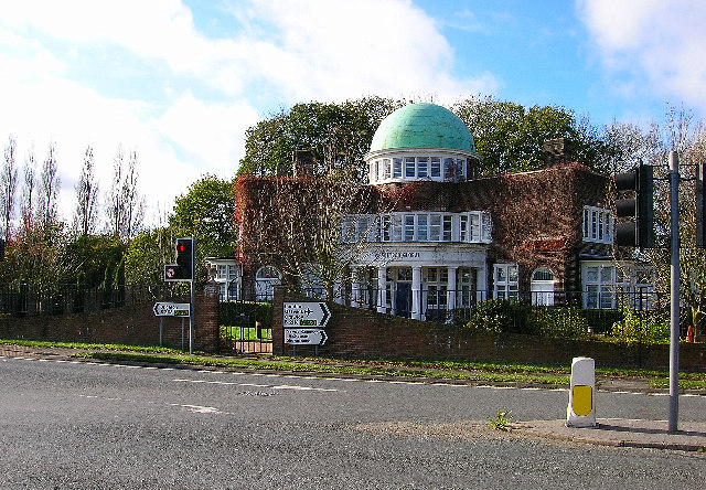
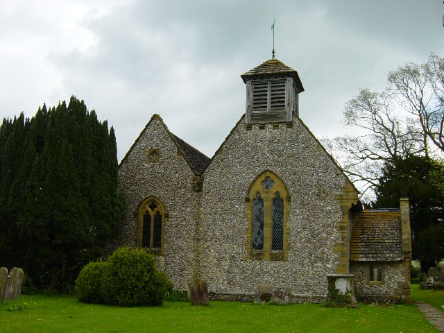
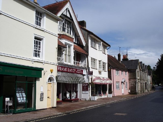
Albourne is known for its charming traditional architecture, with many homes and buildings dating back several centuries. The village is centered around St. Bartholomew's Church, a beautiful 12th-century parish church that serves as a historical landmark in the area. The church is renowned for its impressive stained glass windows and intricate stonework.

Despite its small size, Albourne offers a range of amenities for its residents. These include a local pub, The Cherry Tree, which serves traditional cuisine and offers a cozy atmosphere for locals and visitors alike. The village also has a primary school, Albourne CofE Primary School, providing education to children in the area.

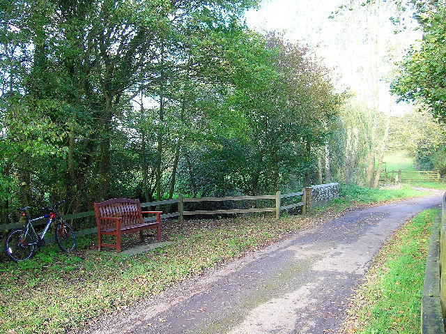
The surrounding countryside of Albourne provides ample opportunities for outdoor activities and exploration. The South Downs Way, a popular long-distance footpath, passes close to the village, offering scenic walks and hikes. Additionally, the nearby Albourne Golf Club attracts golf enthusiasts with its well-maintained course and panoramic views.

Albourne is well-connected to neighboring towns and cities, with easy access to major transport links. The A23 road runs close by, connecting the village to Brighton, Crawley, and London. The nearest railway stations are Hassocks and Burgess Hill, both providing frequent services to London and other major destinations.

Overall, Albourne is a quaint and picturesque village, offering a tranquil escape from the hustle and bustle of city life, while still providing convenient access to essential amenities and transport links.

If you have any feedback on the listing, please let us know in the comments section below.
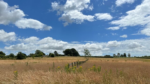
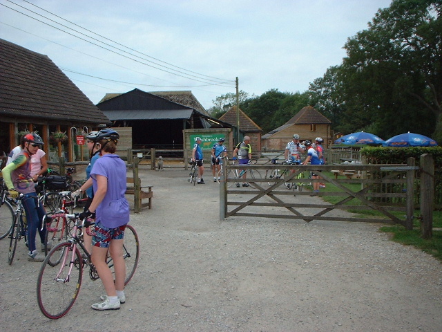
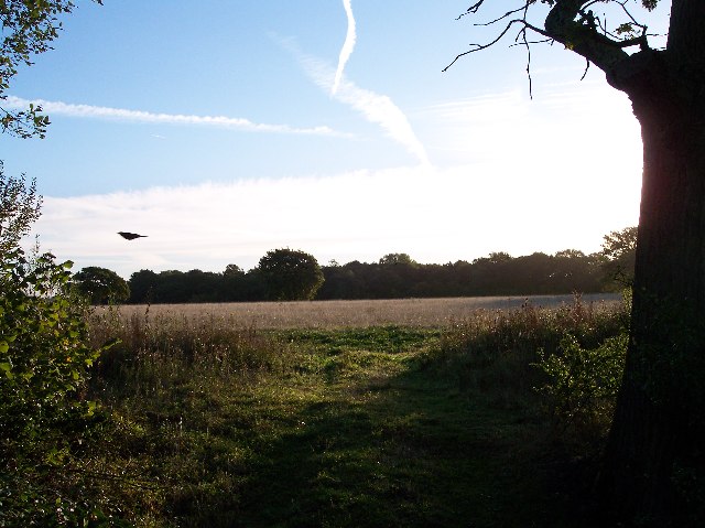
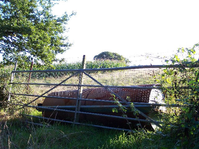
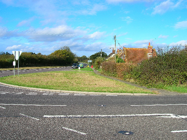
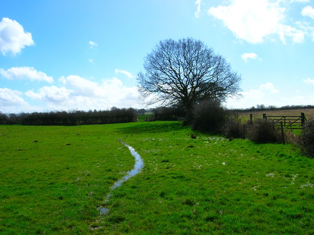
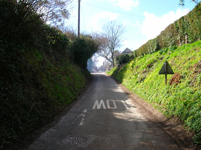
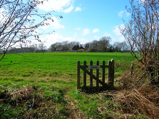
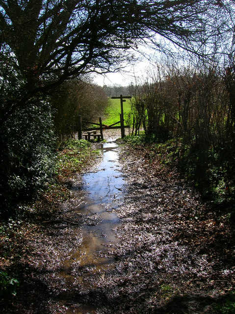
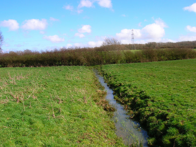
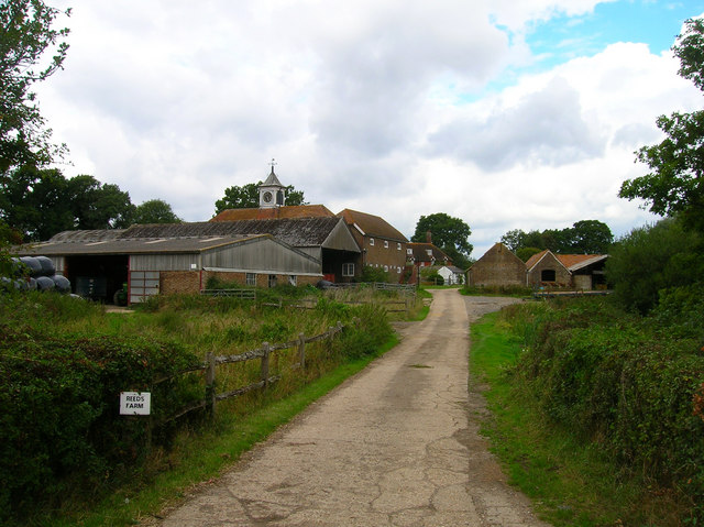
Albourne Images

Images are sourced within 2km of 50.931434/-0.213164 or Grid Reference TQ2516. Thanks to Geograph Open Source API. All images are credited.

Field boundary west of Wick Farm
Washbrook Farm The cafe is a popular meeting place for cyclists.
Washbrook Farm
The cafe is a popular meeting place for cyclists.
Shaves Wood at Dawn Taken from opposite East Wood Farm. Looking East almost directly towards the sun (behind the tree trunk) just catching the fleeing wildlife.
Shaves Wood at Dawn
Taken from opposite East Wood Farm. Looking East almost directly towards the sun (behind the tree trunk) just catching the fleeing wildlife.
Keep Out Determined to keep trespassers out - a well blocked gateway to protect the maize crop.
Keep Out
Determined to keep trespassers out - a well blocked gateway to protect the maize crop.
Coombe Farm, near Sayers Common Looking east from the bridleway. The A23(T) thunders past just behind it.
Coombe Farm, near Sayers Common
Looking east from the bridleway. The A23(T) thunders past just behind it.
Softtech Global, London Road, Albourne Much change of usage is in evidence here. The road in the foreground up to 1990 was the A23(T) which has now been superseded by the dual carriageway which runs to the west. The building in the background was originally an inn. Built in 1938 by A.B.Peckham to cater for the growing motoring trade. Taken from the junction with the B2116 looking west.
Softtech Global, London Road, Albourne
Much change of usage is in evidence here. The road in the foreground up to 1990 was the A23(T) which has now been superseded by the dual carriageway which runs to the west. The building in the background was originally an inn. Built in 1938 by A.B.Peckham to cater for the growing motoring trade. Taken from the junction with the B2116 looking west.
Resting place, Church Lane, Albourne A fine place to sit and have your lunch on a pleasant November afternoon. Looking north as the lane crosses Cutlers Brook before turning sharply right. My mode of transport is parked behind it.
Resting place, Church Lane, Albourne
A fine place to sit and have your lunch on a pleasant November afternoon. Looking north as the lane crosses Cutlers Brook before turning sharply right. My mode of transport is parked behind it.
Bishops Place, near Albourne Looking west down the driveway towards Bishops Place which is to the right of the picture. Spring Hills Golf Course can just be made out to the very left.
Bishops Place, near Albourne
Looking west down the driveway towards Bishops Place which is to the right of the picture. Spring Hills Golf Course can just be made out to the very left.
Muddleswood crossways Looking north across the B2117 up the former A23(T). The road south is now disused except as a cycle track and access point for two cottages. The nearest building is the former tollgate collection point for this stretch of the former London-Brighton turnpike.
Muddleswood crossways
Looking north across the B2117 up the former A23(T). The road south is now disused except as a cycle track and access point for two cottages. The nearest building is the former tollgate collection point for this stretch of the former London-Brighton turnpike.
Waterlogged Field near Blackstone Looking south along the footpath that links the B2146 with Blackstone.
Waterlogged Field near Blackstone
Looking south along the footpath that links the B2146 with Blackstone.
Blackstone Street, Blackstone A hamlet within the parish of Woodmancote that has existed for at least 800 years. This view looks west up the village street part of which is obscured by the smoke from a bonfire at Blackstone Farm.
Blackstone Street, Blackstone
A hamlet within the parish of Woodmancote that has existed for at least 800 years. This view looks west up the village street part of which is obscured by the smoke from a bonfire at Blackstone Farm.
Thou shalt not pass Broken gate on the footpath from Blackstone. This view looks west towards Four Elms.
Thou shalt not pass
Broken gate on the footpath from Blackstone. This view looks west towards Four Elms.
Junction of footpaths near Woodmancote Looking south down the path from Blackstone through the mud and water towards its junction with that which links Wick Farm and Blackstone Lane.
Junction of footpaths near Woodmancote
Looking south down the path from Blackstone through the mud and water towards its junction with that which links Wick Farm and Blackstone Lane.
Small Brook near Woodmancote Looking east as the brook makes its way towards the lake at Wick Farm.
Small Brook near Woodmancote
Looking east as the brook makes its way towards the lake at Wick Farm.
St Bartholomew's Church, Albourne The church was extensively restored in the 19th Century.
St Bartholomew's Church, Albourne
The church was extensively restored in the 19th Century.
Reeds Farm Taken from the entrance on Reeds Lane, a farm has been recorded in this spot since the 1790s.
Reeds Farm
Taken from the entrance on Reeds Lane, a farm has been recorded in this spot since the 1790s.
High Cross Small hamlet on the B2116 Albourne-Henfield road. These cottages are on Twineham Lane, the junction to Reeds Lane at the far end of the row.
High Cross
Small hamlet on the B2116 Albourne-Henfield road. These cottages are on Twineham Lane, the junction to Reeds Lane at the far end of the row.
Orchard Way Part of the West Town suburb of Hurstpiepoint is this post war cul-de-sac. Taken from the junction with Albourne Road, the B2116.
Orchard Way
Part of the West Town suburb of Hurstpiepoint is this post war cul-de-sac. Taken from the junction with Albourne Road, the B2116.
Show me another place!

Albourne is located at Grid Ref: TQ2516 (Lat: 50.931434, Lng: -0.213164)

Administrative County: West Sussex

District: Mid Sussex

Police Authority: Sussex

What 3 Words

///orange.round.capillary. Near Hurstpierpoint, West Sussex

Nearby Locations

Albourne

Related Wikis

Albourne

Albourne is a village and civil parish in the Mid Sussex district of West Sussex, England. It lies just off the A23 road three miles (4.8 km) east of Henfield...

Blackstone, West Sussex

Blackstone is a hamlet in the civil parish of Woodmancote and the Horsham district of West Sussex, England. Blackstone is significant for its listed...

Mansion House, Hurstpierpoint

Mansion House is a prominent and historically significant Grade II* listed Georgian village property in Hurstpierpoint, West Sussex, England. The substantial...

Hurstpierpoint

Hurstpierpoint is a village in West Sussex, England, 4 miles (6.4 km) southwest of Burgess Hill, and 1.5 miles (2.4 km) west of Hassocks railway station...

Sayers Common

Sayers Common is a village in the Mid Sussex District of West Sussex, England. With Hurstpierpoint it forms one of the Mid Sussex parishes. It is located...

Hurstpierpoint and Sayers Common

Hurstpierpoint and Sayers Common is a civil parish in Mid Sussex District, West Sussex, England. == Settlements == === Major settlements === Hurstpierpoint...

Woodmancote, Horsham District

Woodmancote is a village and civil parish in the Horsham District of West Sussex, England. The village is 1 mile (1.5 km) southeast of Henfield on the...

Newtimber Place

Newtimber Place is a Grade I listed building in the Mid Sussex district of West Sussex, England. The house sits on a D-shaped island in a moat. The oldest...

Related Videos

Having Fun in QLEISURE: The Best Place for Outdoor Activities

Join us as we are going for outdoor activities, i.e. Qleisure near London Rd, Albourne, Hassocks. Qleisure is the best destination ...

Riding Electric Skateboards on a GoKart Track | Slick Revolution | Ride + Glide | QLeisure Brighton

This is what happens when you got an entire GoKart track with 800 meters of perfect Tarmac and all the electric skateboards and ...

Cowfold Christmas Tree Marble Run 2019

Marble Run created by TwistingSpace.com Marble run started by Chris Colvill Pieces made by Ali Lidbetter, George Shillingford, ...

Comedy of Errors “Disobey” on vinyl!

First look at the vinyl release from Plane Groovy.

Nearby Amenities

Located within 500m of 50.931434,-0.213164
Post Box
Collection Times: Mo-Fr 16:30; Sa 07:30
Operator: Royal Mail
Post Box Type: wall
Ref: BN6 419
Royal Cypher: EIIR
Royal Cypher Wikidata: Q33102113
Lat/Long: 50.9311644/-0.2135206
Power: pole
Lat/Long: 50.9333985/-0.2131523
Power: pole
Lat/Long: 50.9331907/-0.2117377
Power: pole
Lat/Long: 50.9334808/-0.2143332
Power: pole
Lat/Long: 50.9335739/-0.2156194
Power: pole
Lat/Long: 50.933669/-0.2169827
Power: pole
Lat/Long: 50.9337735/-0.2183494
Power: pole
Lat/Long: 50.9333652/-0.2182816
Power: pole
Lat/Long: 50.9327013/-0.2182076
Power: pole
Lat/Long: 50.9319742/-0.2181122
Power: pole
Lat/Long: 50.9312685/-0.2179991
Power: pole
Lat/Long: 50.9311312/-0.2175172
Power: pole
Lat/Long: 50.930961/-0.2170175
Power: pole
Lat/Long: 50.9306881/-0.2169806
Power: pole
Lat/Long: 50.930089/-0.2169084
Power: pole
Lat/Long: 50.9294734/-0.2168424
Power: pole
Lat/Long: 50.9286285/-0.216773
Power: pole
Lat/Long: 50.9283962/-0.2184239
Power: pole
Lat/Long: 50.9334675/-0.2107685
Power: pole
Lat/Long: 50.9334284/-0.2107463
Power: pole
Lat/Long: 50.9342607/-0.211218
Power: pole
Lat/Long: 50.9348589/-0.2115681
Power: pole
Lat/Long: 50.9356039/-0.2120127
Power: pole
Lat/Long: 50.9329641/-0.208441
Power: pole
Lat/Long: 50.932882/-0.2076334
Power: pole
Lat/Long: 50.9313429/-0.2151678
Power: pole
Lat/Long: 50.9313169/-0.2167581
Power: pole
Lat/Long: 50.9302286/-0.2182371
Power: pole
Lat/Long: 50.9308619/-0.2180976
Power: pole
Lat/Long: 50.9313738/-0.2135597
Power: pole
Lat/Long: 50.9311125/-0.2093984
Power: pole
Lat/Long: 50.9320526/-0.2093342
Power: pole
Lat/Long: 50.9302341/-0.2094578
Power: pole
Lat/Long: 50.9292843/-0.2095469
Power: pole
Lat/Long: 50.9327969/-0.2066496
Barrier: stile
Lat/Long: 50.9353678/-0.213796
Bench
Lat/Long: 50.9313665/-0.2130016
The data included in this document is from www.openstreetmap.org. The data is made available under ODbL.

Have you been to Albourne?

Leave your review of Albourne below (or comments, questions and feedback).