Albion
Settlement in Staffordshire
England
Albion
Albion is a small village located in the county of Staffordshire, England. Situated approximately 5 miles southeast of the town of Burton upon Trent, Albion is nestled in the scenic countryside, surrounded by lush green fields and rolling hills.
The village is primarily residential, with a population of around 1,000 residents. The charming and peaceful atmosphere of Albion is one of its most notable features, making it an ideal place for those seeking a tranquil setting away from the hustle and bustle of city life.
Albion boasts a rich history, with evidence of human occupation dating back to ancient times. The village is believed to have been established during the Roman period, and remnants of Roman settlements have been discovered in the area. The village's name, "Albion," has its roots in the ancient Celtic language, adding to its historical significance.
Despite its small size, Albion offers a range of amenities to its residents. There is a local primary school, providing education for children in the area. Additionally, the village has a parish church, a community center, and a few small businesses, including a convenience store and a pub. The surrounding countryside provides ample opportunities for outdoor activities, such as hiking, cycling, and horseback riding.
Albion's close proximity to Burton upon Trent allows residents to access a wider range of services and amenities, including shopping centers, restaurants, and leisure facilities. The village is well-connected by road, with easy access to major routes, making it convenient for commuters and visitors alike.
Overall, Albion offers a peaceful and idyllic setting, combined with a rich history and access to nearby amenities, making it an attractive place to live or visit in Staffordshire.
If you have any feedback on the listing, please let us know in the comments section below.
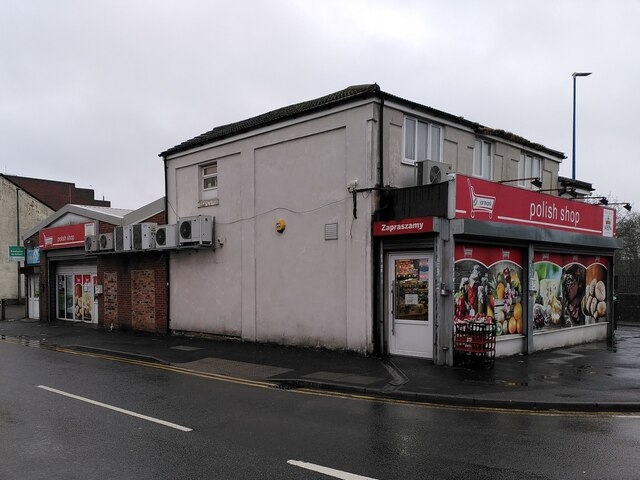
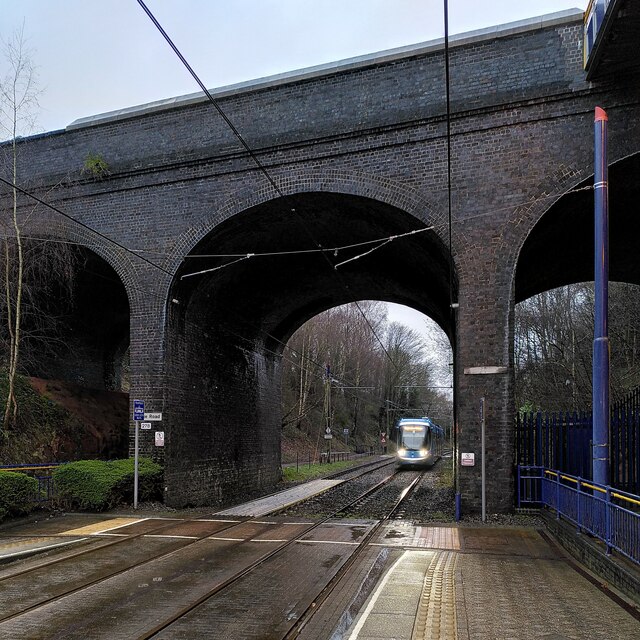
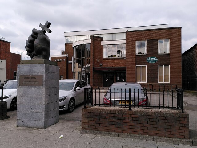
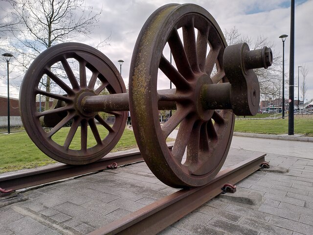
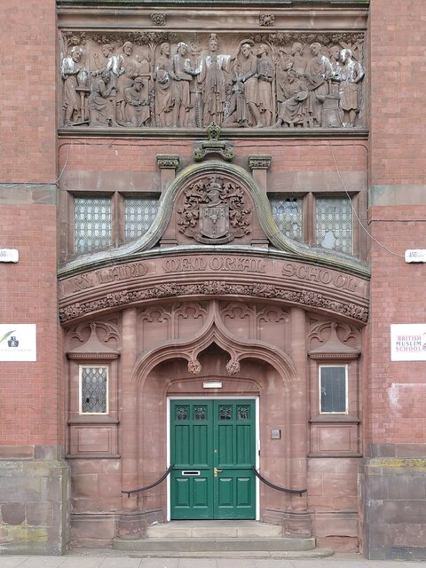
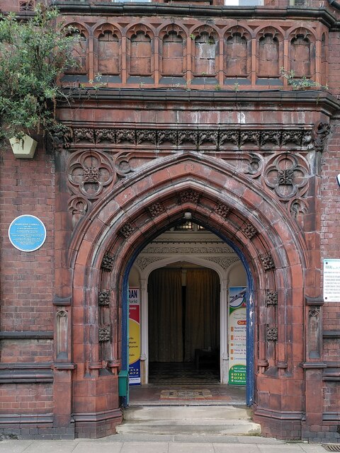
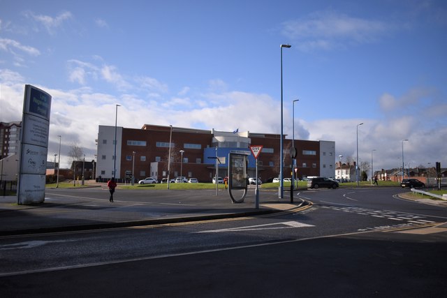
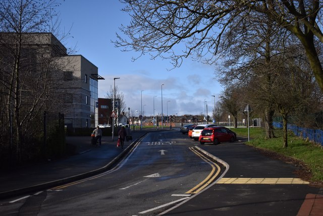
Albion Images
Images are sourced within 2km of 52.515595/-2.018388 or Grid Reference SO9890. Thanks to Geograph Open Source API. All images are credited.


Albion is located at Grid Ref: SO9890 (Lat: 52.515595, Lng: -2.018388)
Unitary Authority: Sandwell
Police Authority: West Midlands
What 3 Words
///rather.slower.lost. Near West Bromwich, West Midlands
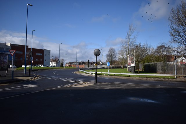
Nearby Locations
Related Wikis

Albion railway station (England)
Albion railway station was a railway station in England, built by the London and North Western Railway on their Stour Valley Line in 1852. It served the...
Greets Green
Greets Green (usually pronounced 'Grits Green') is a residential area of West Bromwich in the West Midlands of England. The appropriate Sandwell ward is...

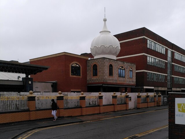
Shri Venkateswara (Balaji) Temple
The Shri Venkateswara (Balaji) Temple (grid reference SO980906) is one of the largest functioning Hindu temples in Europe. It is dedicated in the Vaishnava...

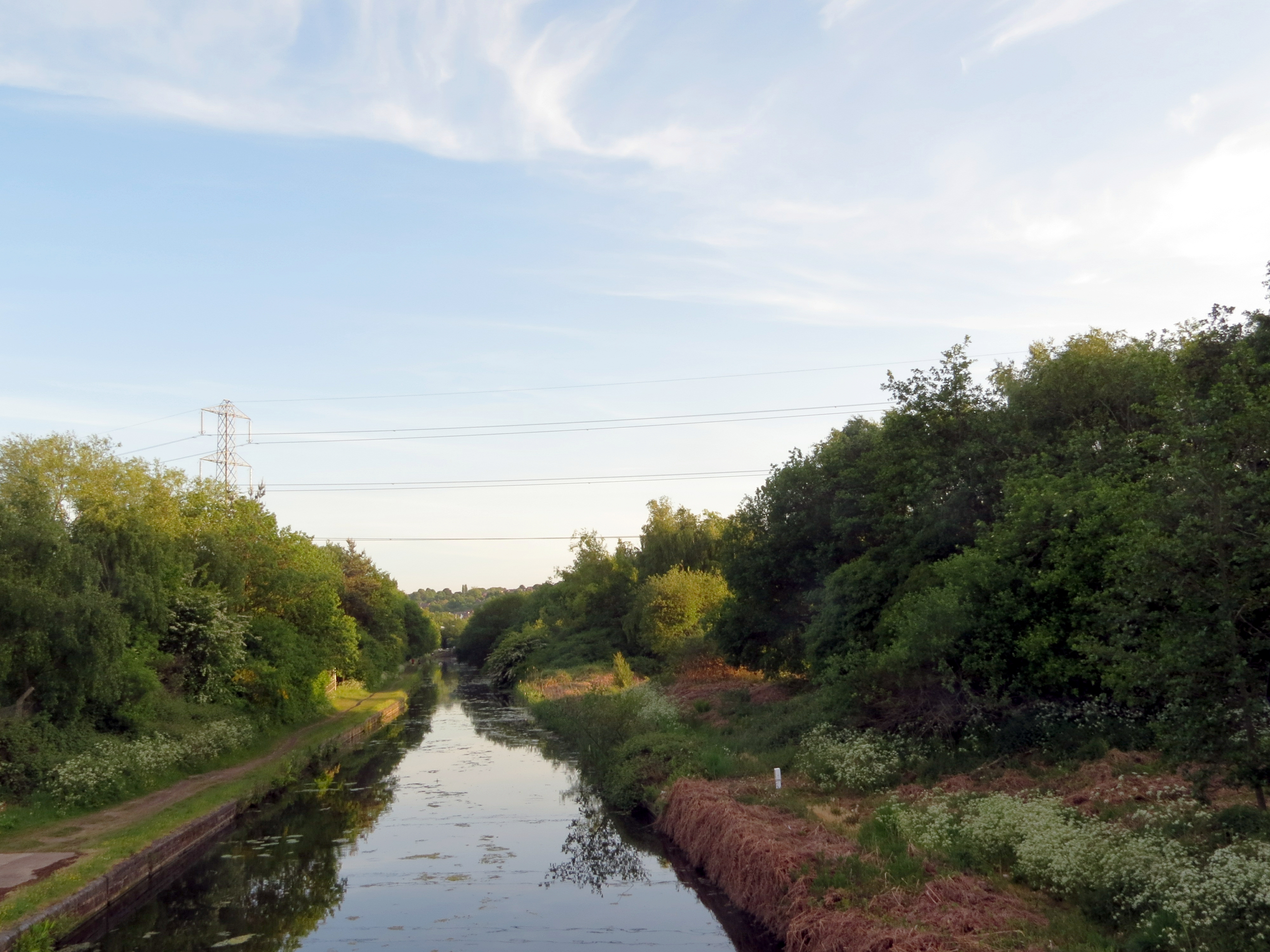
Wednesbury Old Canal
Wednesbury Old Canal is part of the Birmingham Canal Navigations (BCN) in West Midlands (county), England. It opened in 1769, and although parts of it...
Gower Branch Canal
The Gower Branch Canal is a half-mile canal at Tividale in England, linking Albion Junction on the Birmingham Level (453 feet above sea) of the Birmingham...

Sandwell & Dudley railway station
Sandwell & Dudley railway station is on the Birmingham Loop of the West Coast Main Line, on the outskirts of Oldbury. The name of the station is somewhat...

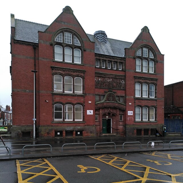
Oak House, West Bromwich
The Oak House is a timber framed building dating from the early sixteenth century that is located in West Bromwich, England. The Oak House was built in...
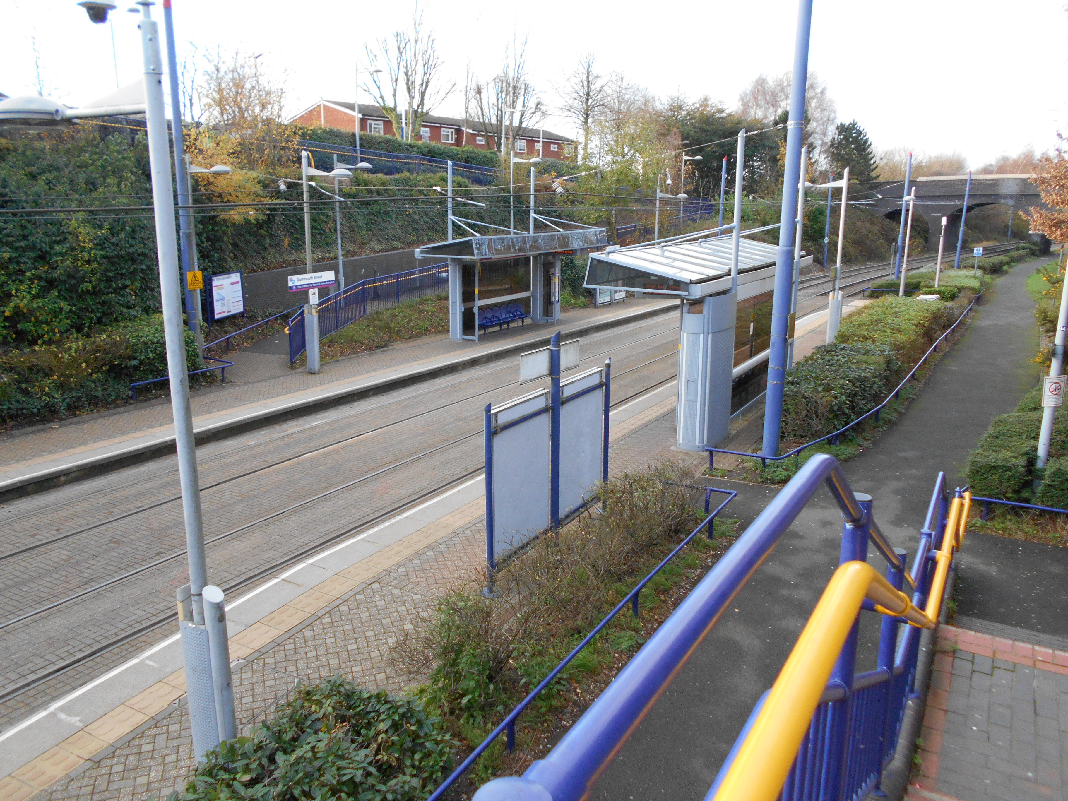
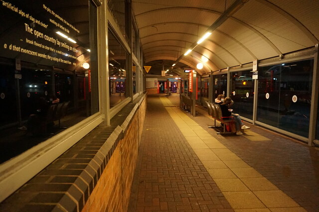
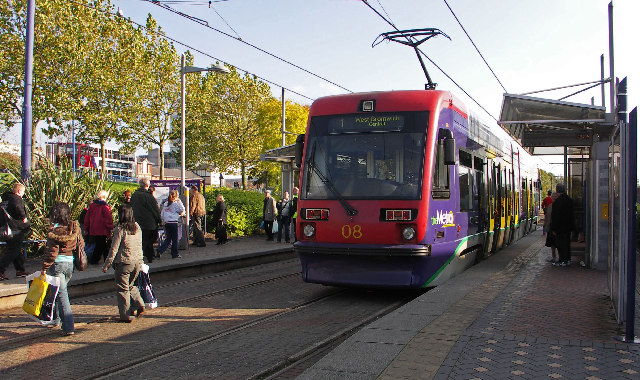
Dartmouth Street tram stop
Dartmouth Street tram stop is a tram stop in West Bromwich, Sandwell, England. It was opened on 31 May 1999 and is situated on West Midlands Metro Line...
Nearby Amenities
Located within 500m of 52.515595,-2.018388Have you been to Albion?
Leave your review of Albion below (or comments, questions and feedback).