Albert Village
Settlement in Leicestershire North West Leicestershire
England
Albert Village
Albert Village is a small village located in the district of North West Leicestershire, in the county of Leicestershire, England. It is situated approximately 1.5 miles southwest of the town of Swadlincote and around 14 miles south of the city of Derby. The village is positioned on the eastern edge of the National Forest, a large forested area in the heart of England.
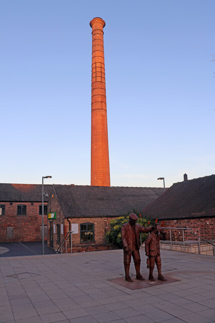
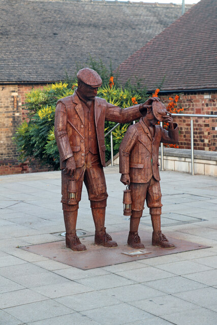
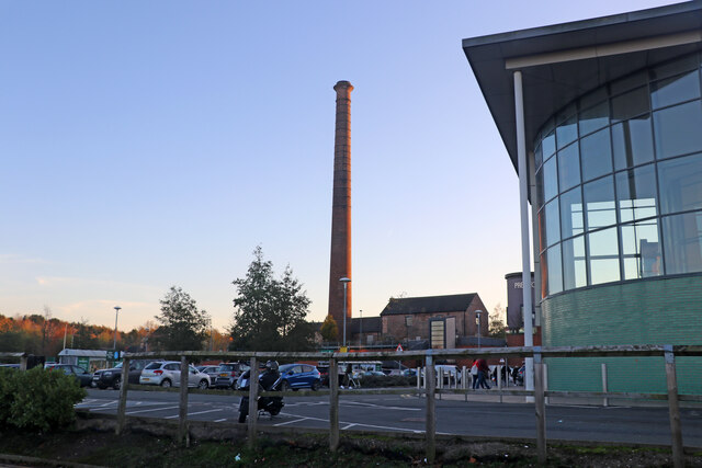
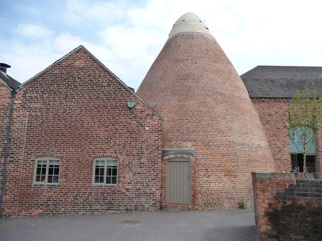
Originally established as a coal mining settlement in the late 19th century, Albert Village takes its name from Prince Albert, the consort of Queen Victoria. The village was built to house miners who worked at the nearby Albert Colliery, which operated until the mid-20th century.
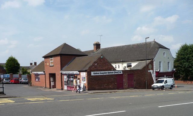
Today, Albert Village is a residential area with a population of around 1,500 inhabitants. The village is primarily made up of semi-detached and terraced houses, with a mix of both private and social housing. It has a small local primary school, serving the needs of the community.
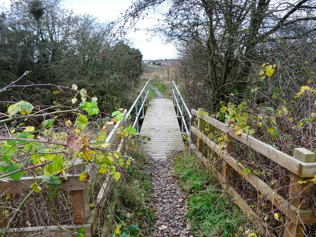
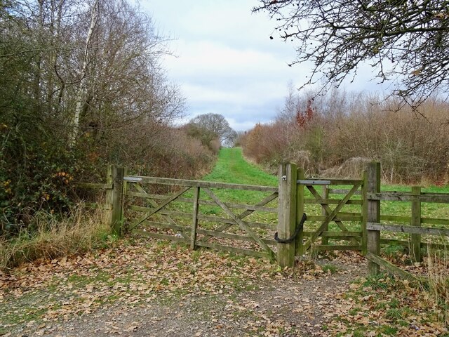
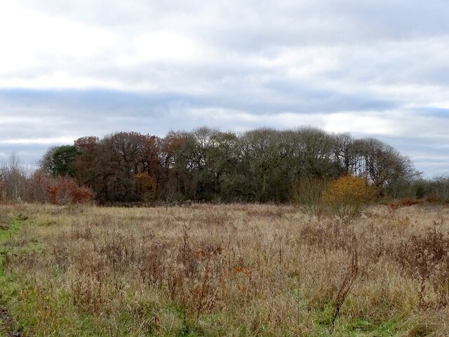
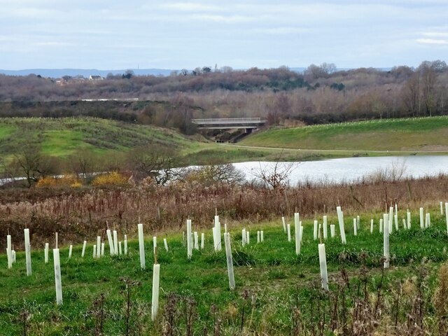
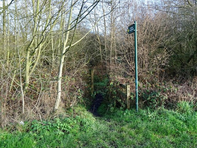
The village is surrounded by beautiful countryside, making it an attractive location for those seeking a peaceful rural setting. There are several walking trails and nature reserves nearby, providing opportunities for outdoor activities and exploration. The National Forest Visitor Centre, located just a short distance away, offers educational exhibits and events focused on the natural environment.
Although Albert Village is a relatively small settlement, it benefits from its proximity to the larger towns of Swadlincote and Burton upon Trent, which provide a range of amenities and services.
If you have any feedback on the listing, please let us know in the comments section below.
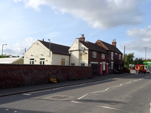
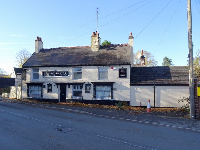
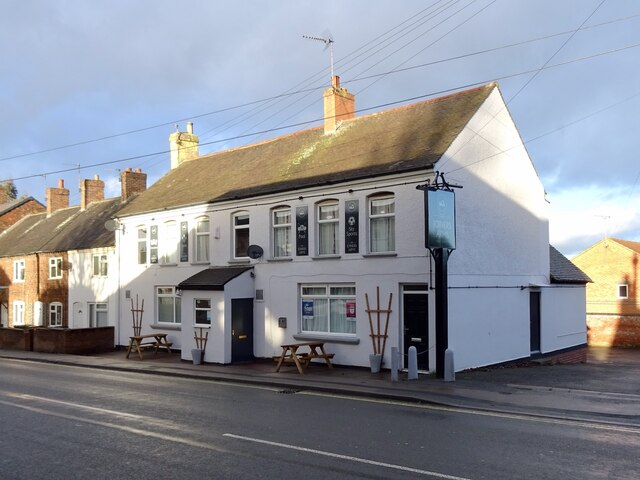
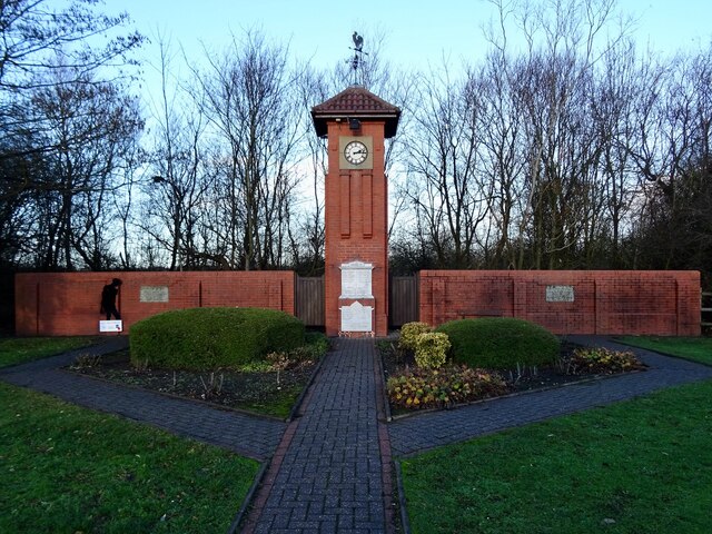
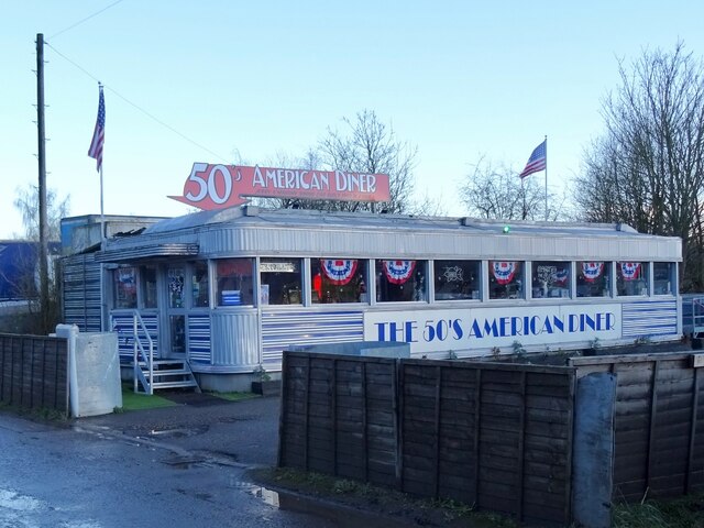
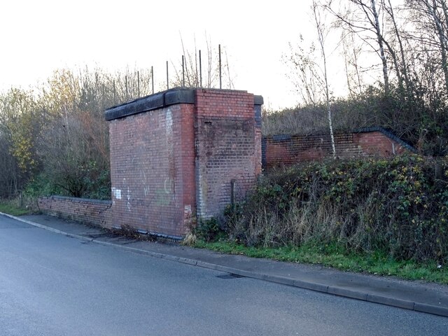
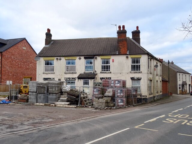
Albert Village Images
Images are sourced within 2km of 52.760989/-1.553174 or Grid Reference SK3018. Thanks to Geograph Open Source API. All images are credited.
Albert Village is located at Grid Ref: SK3018 (Lat: 52.760989, Lng: -1.553174)
Administrative County: Leicestershire
District: North West Leicestershire
Police Authority: Leicestershire
What 3 Words
///hint.daring.hidden. Near Swadlincote, Derbyshire
Nearby Locations
Related Wikis

Albert Village
Albert Village is a small post-industrial village in Leicestershire, England and is located approximately 1.5 miles (2.4 km) from the town of Swadlincote...

Gresley Rovers F.C.
Gresley Rovers Football Club is an English football club from Church Gresley, South Derbyshire. Gresley is a member of the Northern Premier League Division...

Church Gresley
Church Gresley is a large suburban village and former civil parish in the South Derbyshire district of Derbyshire, England. The village is situated between...
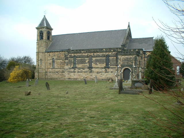
St George and St Mary's Church, Church Gresley
St George and St Mary's Church, Church Gresley is a Grade II* listed parish church in the Church of England in Church Gresley, Derbyshire. == History... ==
Gresley Priory
Gresley Priory was a monastery of Augustinian Canons regular in Church Gresley, Derbyshire, England, founded in the 12th century. Following the Dissolution...

Leicestershire and South Derbyshire Coalfield
The Leicestershire and South Derbyshire Coalfield in the English Midlands is one of the smaller British coalfields. The two areas are sometimes separately...
St Stephen's Church, Woodville
St Stephen's Church, Woodville is a Grade II listed parish church in the Church of England: 361 in Woodville, Derbyshire. == History == The desire for...

Swadlincote
Swadlincote is a historic mining town in the district of South Derbyshire, in the ceremonial county of Derbyshire, England. It lies within The National...
Nearby Amenities
Located within 500m of 52.760989,-1.553174Have you been to Albert Village?
Leave your review of Albert Village below (or comments, questions and feedback).