Oldbury

Settlement in Worcestershire

England

Oldbury

White Swan, West Bromwich Pub on the corner of Bromford Lane and Lyttleton Street.
White Swan, West Bromwich Credit: Jaggery

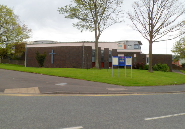
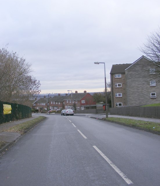
Oldbury is a small village located in the county of Worcestershire, England. Situated on the eastern bank of the River Severn, Oldbury was historically known for its agricultural roots, with farming being the primary occupation of its inhabitants.

The village boasts a charming and picturesque atmosphere, characterized by its well-preserved architecture and quaint cottages. Its close proximity to the river offers stunning views of the surrounding countryside, making it a popular destination for nature enthusiasts and photographers.

Despite its small size, Oldbury is home to a vibrant community with a range of amenities. The village has a local pub, The Oldbury Arms, where residents and visitors can enjoy traditional English fare and a friendly atmosphere. Additionally, there is a village hall that hosts various events and activities, bringing the community together.

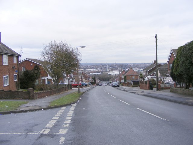
The nearby Worcestershire countryside provides ample opportunities for outdoor recreation, with numerous walking and cycling trails available for exploration. The surrounding area is also known for its beautiful gardens, including the renowned Witley Court and Gardens, which attract visitors from far and wide.

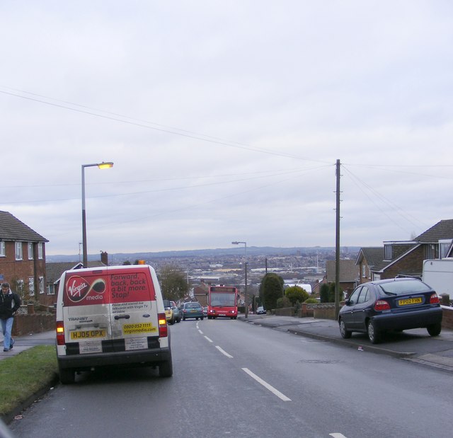
Oldbury's location benefits from excellent transport links, with the M5 motorway nearby, providing easy access to the cities of Birmingham and Worcester. The village is also served by regular bus services, connecting it to the wider Worcestershire region.

In summary, Oldbury, Worcestershire offers a peaceful and idyllic setting, with its rural charm, natural beauty, and strong sense of community making it an attractive place to visit or call home.

If you have any feedback on the listing, please let us know in the comments section below.
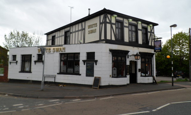
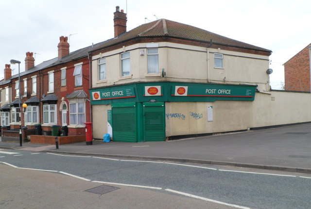
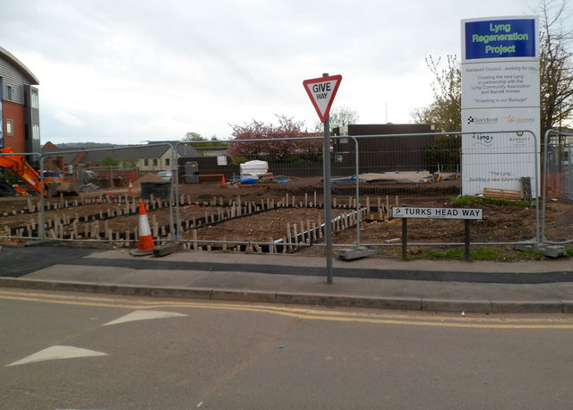
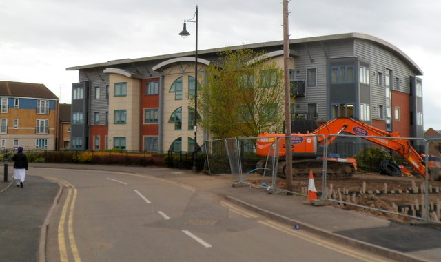
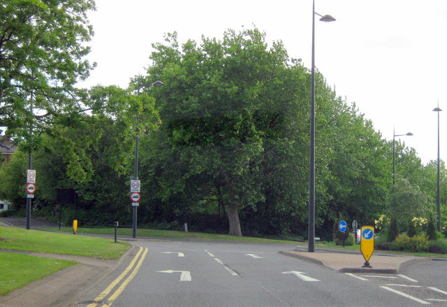
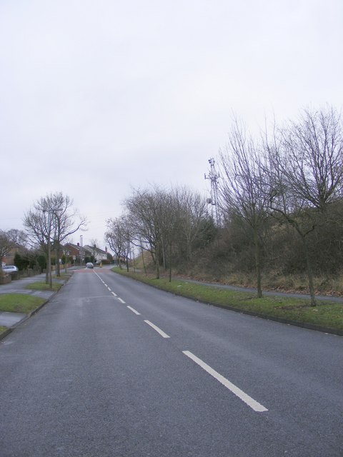
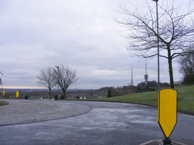
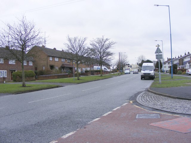
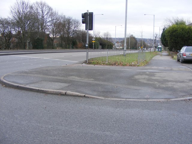
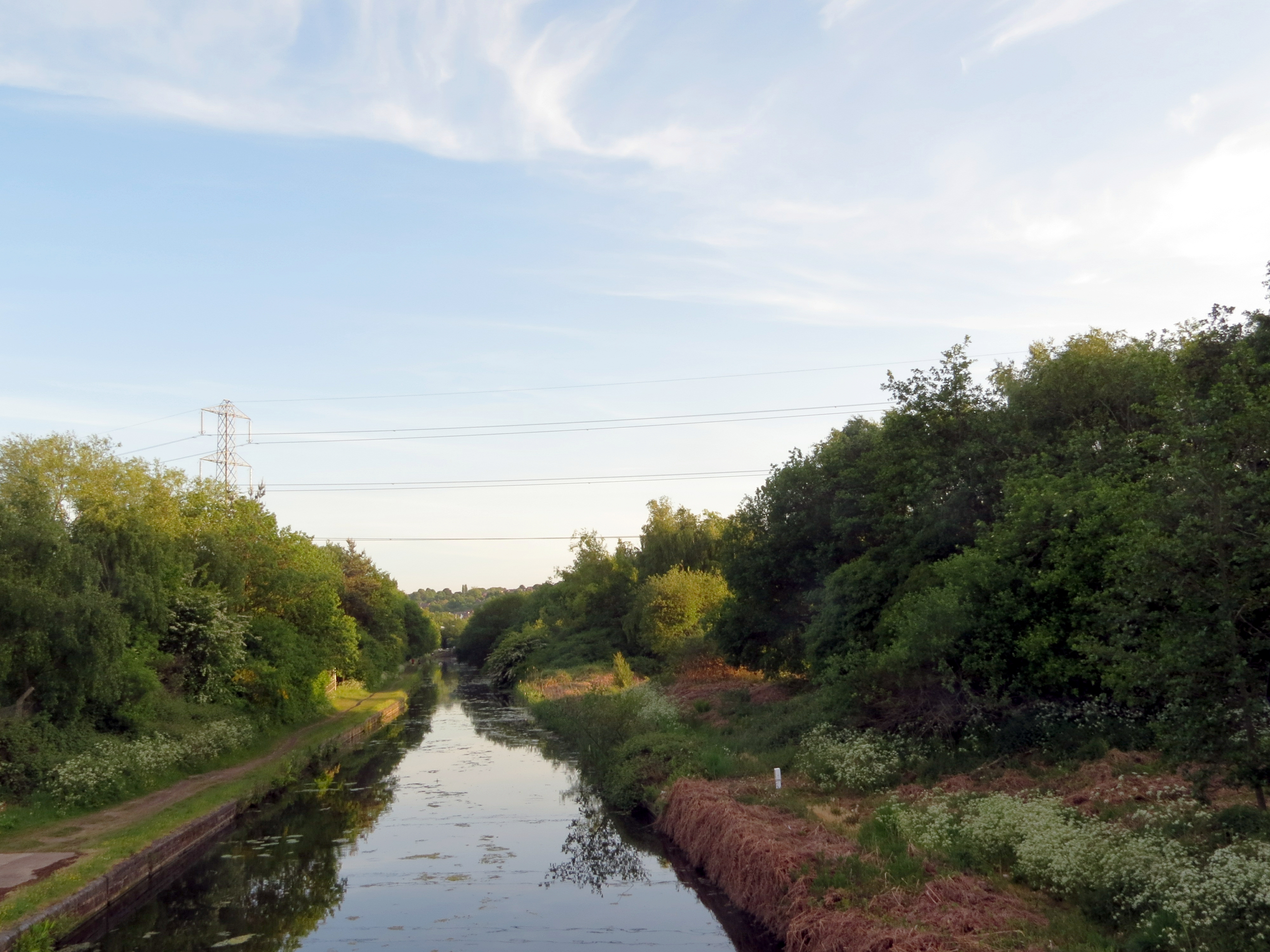
Oldbury Images

Images are sourced within 2km of 52.509579/-2.028331 or Grid Reference SO9890. Thanks to Geograph Open Source API. All images are credited.

White Swan, West Bromwich Pub on the corner of Bromford Lane and Lyttleton Street.
White Swan, West Bromwich
Pub on the corner of Bromford Lane and Lyttleton Street.
Bromford Lane Post Office,  West Bromwich On the corner of Bromford Lane and Barton Street.
Bromford Lane Post Office, West Bromwich
On the corner of Bromford Lane and Barton Street.
A corner of the Lyng Regeneration project, West Bromwich Viewed at the corner of Turks Head Way and Bromford Lane, opposite the post office. <a title="https://www.geograph.org.uk/photo/2933917" href="https://www.geograph.org.uk/photo/2933917">Link</a>  
The Lyng regeneration is a Sandwell Council project, in partnership with Barratt Homes and the Lyng Community Association. When complete, there will be about 250 new dwellings for private sale, new public open spaces and parks, and a new office for the Lyng Community Association.
A corner of the Lyng Regeneration project, West Bromwich
Viewed at the corner of Turks Head Way and Bromford Lane, opposite the post office. Link The Lyng regeneration is a Sandwell Council project, in partnership with Barratt Homes and the Lyng Community Association. When complete, there will be about 250 new dwellings for private sale, new public open spaces and parks, and a new office for the Lyng Community Association.
Modern flats, West Bromwich Viewed from Bromford Lane. This is the Turks Head Way side of a block of flats on the corner of The Sidings. The fenced-off site on the right is part of the Lyng Regeneration Project. <a title="https://www.geograph.org.uk/photo/2934157" href="https://www.geograph.org.uk/photo/2934157">Link</a>
Modern flats, West Bromwich
Viewed from Bromford Lane. This is the Turks Head Way side of a block of flats on the corner of The Sidings. The fenced-off site on the right is part of the Lyng Regeneration Project. Link
Good Shepherd with St John Parish Church, West Bromwich Anglican parish church in The Lyng on the corner of Lyttleton Street and Bromford Lane. 
The church, part of the Diocese of Lichfield, was consecrated in 1968.
Good Shepherd with St John Parish Church, West Bromwich
Anglican parish church in The Lyng on the corner of Lyttleton Street and Bromford Lane. The church, part of the Diocese of Lichfield, was consecrated in 1968.
Under the M5 at Oldbury The 18th C canal is overtopped by the 20th C motorway. Surely a concrete tribute to the route chosen by James Brindley the canal engineer.
Under the M5 at Oldbury
The 18th C canal is overtopped by the 20th C motorway. Surely a concrete tribute to the route chosen by James Brindley the canal engineer.
Different levels of transport The old main line of the Birmingham Canal has been overtopped by the M5 motorway and various footbridges.
Different levels of transport
The old main line of the Birmingham Canal has been overtopped by the M5 motorway and various footbridges.
Netherton Tunnel The last tunnel built at a cost of over £300,000 it opened on the 20th of August 1858. It was built with two tow paths and wide enough for two boats. Thus is eased congestion in the narrow Dudley tunnel that had to be legged through. Its over 2.5km long, straight and now unlit. Take a torch!

One of the air shafts, this one is wet but others are dry.
Netherton Tunnel
The last tunnel built at a cost of over £300,000 it opened on the 20th of August 1858. It was built with two tow paths and wide enough for two boats. Thus is eased congestion in the narrow Dudley tunnel that had to be legged through. Its over 2.5km long, straight and now unlit. Take a torch! One of the air shafts, this one is wet but others are dry.
Start/Finish Oldbury Ringway
Oldbury, Churchbridge, Park Street on Left in Distance
Darbys Hill Road The view up to the mast on Darby's Hill, Dudley.
Darbys Hill Road
The view up to the mast on Darby's Hill, Dudley.
View Point The view from Darby's Hill towards Turner's Hill masts.
View Point
The view from Darby's Hill towards Turner's Hill masts.
City Road The view from Darbys Hill Road.
City Road
The view from Darbys Hill Road.
Tower Road The view from Darby's Hill over Oldbury.
Tower Road
The view from Darby's Hill over Oldbury.
Tower Road View The view from the Oldbury road looking north east over the West Midlands.
Tower Road View
The view from the Oldbury road looking north east over the West Midlands.
Tower Road Viewpoint The view down the steep hill to the A4123 New Birmingham Road at Oldbury and over the West Midlands.
Tower Road Viewpoint
The view down the steep hill to the A4123 New Birmingham Road at Oldbury and over the West Midlands.
St Brades Close The view from Tower Road in Oldbury.
St Brades Close
The view from Tower Road in Oldbury.
New Birmingham Road The view down A4123 at Oldbury from Tower Road.
New Birmingham Road
The view down A4123 at Oldbury from Tower Road.
Show me another place!

Oldbury is located at Grid Ref: SO9890 (Lat: 52.509579, Lng: -2.028331)

Unitary Authority: Sandwell

Police Authority: West Midlands

What 3 Words

///third.uses.speeds. Near Oldbury, West Midlands

Related Wikis

Shri Venkateswara (Balaji) Temple

The Shri Venkateswara (Balaji) Temple (grid reference SO980906) is one of the largest functioning Hindu temples in Europe. It is dedicated in the Vaishnava...
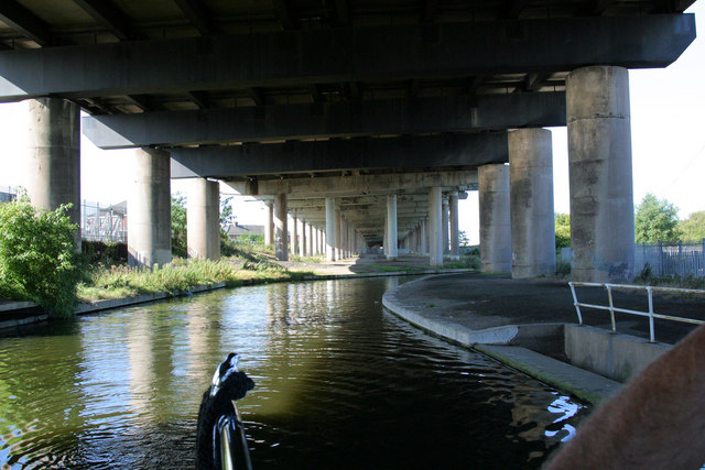
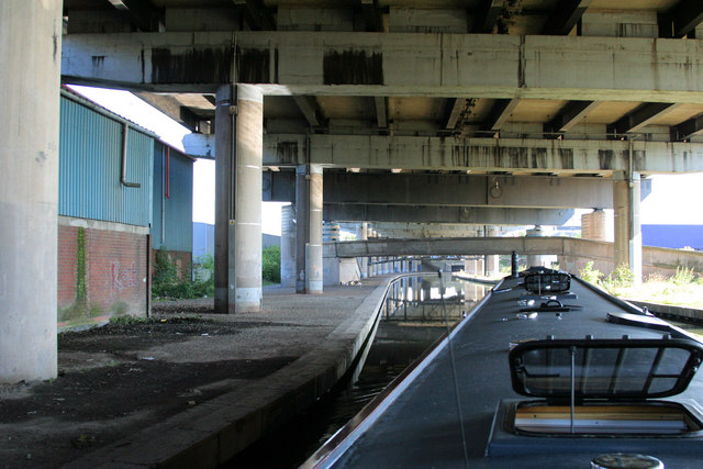
Gower Branch Canal

The Gower Branch Canal is a half-mile canal at Tividale in England, linking Albion Junction on the Birmingham Level (453 feet above sea) of the Birmingham...

Ormiston Sandwell Community Academy

Ormiston Sandwell Community Academy (formerly Tividale Comprehensive School, Tividale High School and Tividale Community Arts College) is an academy for...

Albion railway station (England)

Albion railway station was a railway station in England, built by the London and North Western Railway on their Stour Valley Line in 1852. It served the...

Sandwell

Sandwell is a metropolitan borough of the West Midlands county in England. The borough is named after the Sandwell Priory, and spans a densely populated...

Municipal Buildings, Oldbury

The Municipal Buildings are in Oldbury town centre, West Midlands, England. The structure served as the headquarters of Oldbury Borough Council. ��2�...

Oldbury, West Midlands

Oldbury is a market town in the Metropolitan Borough of Sandwell, West Midlands, England. It is the administrative centre of the borough. At the 2011 census...

Sandwell & Dudley railway station

Sandwell & Dudley railway station is on the Birmingham Loop of the West Coast Main Line, on the outskirts of Oldbury. The name of the station is somewhat...

Nearby Amenities

Located within 500m of 52.509579,-2.028331
Bus Stop
Brades Rd / Brades Rise
Bus: yes
Naptan AtcoCode: 43000922701
Naptan Bearing: S
Naptan BusStopType: MKD
Naptan CommonName: Brades Rise
Naptan Indicator: opp
Naptan NaptanCode: nwmpdatj
Naptan PlusbusZoneRef: BHAMNWS
Naptan Status: ACT
Naptan StopType: BCT
Naptan Street: BRADES RD
Naptan Towards: Dudley
Public Transport: platform
Route Ref: 120
Shelter: no
Source: WMCA
Towards: Dudley
Lat/Long: 52.5055204/-2.0286699
Bus Stop
Brades Rd / Payton Close
Bus: yes
Naptan AtcoCode: 43000924001
Naptan Bearing: N
Naptan BusStopType: MKD
Naptan CommonName: Payton Close
Naptan Indicator: opp
Naptan NaptanCode: nwmpdgaw
Naptan PlusbusZoneRef: BHAMNWS
Naptan Status: ACT
Naptan StopType: BCT
Naptan Street: BRADES RD
Naptan Towards: Oldbury
Public Transport: platform
Route Ref: 120
Shelter: no
Source: WMCA
Towards: Oldbury
Lat/Long: 52.5090485/-2.0286485
Bus Stop
Brades Rd / Payton Close
Bus: yes
Naptan AtcoCode: 43000924002
Naptan Bearing: S
Naptan BusStopType: MKD
Naptan CommonName: Payton Close
Naptan Indicator: adj
Naptan NaptanCode: nwmpdgda
Naptan PlusbusZoneRef: BHAMNWS
Naptan Status: ACT
Naptan StopType: BCT
Naptan Street: BRADES RD
Naptan Towards: Dudley
Public Transport: platform
Route Ref: 120
Shelter: no
Source: WMCA
Towards: Dudley
Lat/Long: 52.5092224/-2.0285701
Bus Stop
Dudley Road East / Roway Lane
NaPTANAreaCode: 43000924701
Bench: no
Bus: yes
Naptan AtcoCode: 43000924701
Naptan Bearing: SE
Naptan BusStopType: MKD
Naptan CommonName: Roway Lane
Naptan Indicator: after
Naptan NaptanCode: nwmpdgjp
Naptan PlusbusZoneRef: BHAMNWS
Naptan Status: ACT
Naptan StopType: BCT
Naptan Street: DUDLEY ROAD EAST
Naptan Towards: Oldbury
Naptan Verified: no
Public Transport: platform
Route Ref: 87
Shelter: yes
Shelter Ref: 305648
Source: WMCA
Tactile Paving: yes
Lat/Long: 52.5093791/-2.0273852
Bus Stop
Dudley Road East / Roway Lane
NaPTANAreaCode: 43000924702
Bus: yes
Naptan AtcoCode: 43000924702
Naptan Bearing: NW
Naptan BusStopType: MKD
Naptan CommonName: Roway Lane
Naptan Indicator: after
Naptan NaptanCode: nwmpdgjt
Naptan PlusbusZoneRef: BHAMNWS
Naptan Status: ACT
Naptan StopType: BCT
Naptan Street: DUDLEY ROAD EAST
Naptan Towards: Dudley
Naptan Verified: no
Public Transport: platform
Route Ref: 87
Shelter: yes
Shelter Ref: 305649
Source: WMCA
Lat/Long: 52.5094881/-2.0278163
Bus Stop
Dudley Rd / Albion St
NaPTANAreaCode: 43000924801
Bus: yes
Naptan AtcoCode: 43000924801
Naptan Bearing: NW
Naptan BusStopType: MKD
Naptan CommonName: Albion St
Naptan Indicator: opp
Naptan NaptanCode: nwmpdgjw
Naptan PlusbusZoneRef: BHAMNWS
Naptan Status: ACT
Naptan StopType: BCT
Naptan Street: DUDLEY RD
Naptan Towards: Dudley
Naptan Verified: no
Public Transport: platform
Route Ref: 87
Shelter: yes
Shelter Ref: 305617
Source: WMCA
Lat/Long: 52.5079291/-2.0247168
Bus Stop
Dudley Rd / Albion St
NaPTANAreaCode: 43000924802
Bus: yes
Naptan AtcoCode: 43000924802
Naptan Bearing: SE
Naptan BusStopType: MKD
Naptan CommonName: Albion St
Naptan Indicator: adj
Naptan NaptanCode: nwmpdgma
Naptan PlusbusZoneRef: BHAMNWS
Naptan Status: ACT
Naptan StopType: BCT
Naptan Street: DUDLEY RD
Naptan Towards: Oldbury
Naptan Verified: no
Public Transport: platform
Route Ref: 87
Shelter: yes
Shelter Ref: 305618
Source: WMCA
Lat/Long: 52.5084708/-2.0255473
Pub
The George
Addr Housenumber: 37
Addr Postcode: B69 3DP
Addr Street: Dudley Road
Fhrs Id: 136545
Note: approx
Source Addr: FHRS Open Data
Lat/Long: 52.5083208/-2.0250954
Turning Circle
Lat/Long: 52.5072048/-2.0265197
Turning Circle
Lat/Long: 52.5077102/-2.0273351
Addr Housenumber: 100
Addr Street: Dudley Road East
Lat/Long: 52.511217/-2.0324132
Telephone
Booth: KX100
Covered: booth
Source: GPS Survey
Lat/Long: 52.5060352/-2.029101
Power: substation
Ref: 52108
Source: survey
Lat/Long: 52.5078203/-2.0279202
Power: substation
Ref: 01229
Source: survey
Lat/Long: 52.5074636/-2.0291224
Pub
Brades Tavern
Addr Housenumber: 48
Addr Postcode: B69 2ET
Addr Street: Brades Road
Fhrs Id: 1207627
Source: survey
Source Addr: FHRS Open Data
Lat/Long: 52.5054104/-2.0287747
Source: bing
Traffic Calming: bump
Lat/Long: 52.507455/-2.0300291
Communication Mobile Phone: yes
Man Made: tower
Operator: O2
Operator Wikidata: Q7072245
Source: survey
Tower Type: communication
Lat/Long: 52.5079151/-2.0289822
Power: substation
Ref: none
Source: survey
Lat/Long: 52.5104442/-2.0349597
Power: tower
Source: bing
Lat/Long: 52.5099355/-2.0234677
Source: bing
Traffic Calming: bump
Lat/Long: 52.5059666/-2.0301966
Source: bing
Traffic Calming: bump
Lat/Long: 52.506775/-2.0298737
Power: tower
Source: bing
Lat/Long: 52.5138047/-2.0269943
Seamark Type: gate
Waterway: lock_gate
Lat/Long: 52.5109602/-2.0331293
Seamark Type: gate
Waterway: lock_gate
Lat/Long: 52.511163/-2.0329918
Seamark Type: gate
Waterway: lock_gate
Lat/Long: 52.5113693/-2.0328543
Seamark Type: gate
Waterway: lock_gate
Lat/Long: 52.5126321/-2.0319579
Seamark Type: gate
Waterway: lock_gate
Lat/Long: 52.5128379/-2.0318075
Noexit: yes
Lat/Long: 52.5069553/-2.0253842
Source: bing
Traffic Calming: bump
Lat/Long: 52.5058412/-2.0297503
Source: bing
Traffic Calming: bump
Lat/Long: 52.5063557/-2.0305239
Turning Circle
Lat/Long: 52.5070309/-2.0338856
Power: tower
Lat/Long: 52.5119784/-2.0245413
Dudley Road Tyres
Shop: car_repair
Lat/Long: 52.5102896/-2.0283628
Vantage Cars & Commercials
Shop: car
Lat/Long: 52.510332/-2.0287597
Tourism: artwork
Lat/Long: 52.5126462/-2.029829
Historic: monument
Lat/Long: 52.5131553/-2.0290914
Tourism: artwork
Lat/Long: 52.5126348/-2.0297458
Historic: monument
Lat/Long: 52.5135014/-2.0290753
Historic: monument
Lat/Long: 52.5128534/-2.0293167
Luxmy Food Store
Addr Housenumber: 134-136
Addr Postcode: B69 3EB
Addr Street: Dudley Road East
Fhrs Id: 75503
Shop: convenience
Source Addr: FHRS Open Data
Lat/Long: 52.5101529/-2.0294784
Disused Shop: yes
Lat/Long: 52.5099928/-2.029041
UK Style Hair Saloon
Shop: hairdresser
Lat/Long: 52.51021/-2.0295615
Car Rental
Burnt Tree Vehicle Hire
Lat/Long: 52.5093161/-2.028868
Dey Mercedes Benz
Shop: car_repair
Lat/Long: 52.5068518/-2.027401
Crossing
Crossing: traffic_signals
Crossing Island: no
Source: bing
Tactile Paving: yes
Traffic Signals Sound: yes
Lat/Long: 52.5087789/-2.0262862
Bus Stop
Dudley Road East / Meadows School
NaPTANAreaCode: 43000923902
Bus: yes
Naptan AtcoCode: 43000923902
Naptan Bearing: SE
Naptan BusStopType: MKD
Naptan CommonName: Meadows School
Naptan Indicator: adj
Naptan NaptanCode: nwmwdwtm
Naptan Status: ACT
Naptan StopType: BCT
Naptan Street: DUDLEY ROAD EAST
Naptan Towards: Oldbury
Public Transport: platform
Route Ref: 87
Shelter: yes
Shelter Ref: 0923902
Source: WMCA
Lat/Long: 52.510684/-2.0303915
Bus Stop
Dudley Road East / Meadows School
Bus: yes
Naptan AtcoCode: 43000923901
Naptan Bearing: NW
Naptan BusStopType: MKD
Naptan CommonName: Meadows School
Naptan Indicator: opp
Naptan NaptanCode: nwmwdwtj
Naptan Status: ACT
Naptan StopType: BCT
Naptan Street: DUDLEY ROAD EAST
Naptan Towards: Dudley
Public Transport: platform
Route Ref: 87
Source: WMCA
Lat/Long: 52.5109202/-2.0313237
Turning Circle
Lat/Long: 52.5068309/-2.0316593
Post Box
Ref: B69 171
Lat/Long: 52.5086988/-2.0259554
Generator Method: photovoltaic
Generator Output Electricity: yes
Generator Source: solar
Generator Type: solar_photovoltaic_panel
Location: roof
Power: generator
Source: Maxar imagery
Lat/Long: 52.512287/-2.0332137
Generator Method: photovoltaic
Generator Output Electricity: yes
Generator Source: solar
Generator Type: solar_photovoltaic_panel
Location: roof
Power: generator
Source: Maxar imagery
Lat/Long: 52.5123115/-2.0331815
Generator Method: photovoltaic
Generator Output Electricity: yes
Generator Source: solar
Generator Type: solar_photovoltaic_panel
Location: roof
Power: generator
Source: Maxar imagery
Lat/Long: 52.5130967/-2.0324922
Turning Circle
Lat/Long: 52.5071468/-2.0324023
Zoroastrian Monument
Artist Name: Luke Perry
Artwork Type: sculpture
Image: https://d3d00swyhr67nd.cloudfront.net/w1200h1200/collection/PUBSCULPT/B69/B69_RA_S108-004.jpg
Material: steel
Source: https://artuk.org/discover/artworks/zoroastrian-monument-268677/search/actor:perry-luke-b-1983
Start Date: 2013
Tourism: artwork
Lat/Long: 52.5136572/-2.0306787
The data included in this document is from www.openstreetmap.org. The data is made available under ODbL.

Have you been to Oldbury?

Leave your review of Oldbury below (or comments, questions and feedback).