Oldbury
Settlement in Shropshire
England
Oldbury
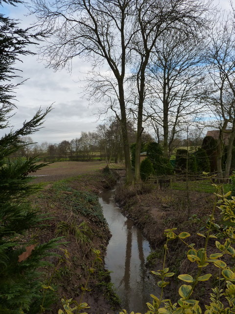
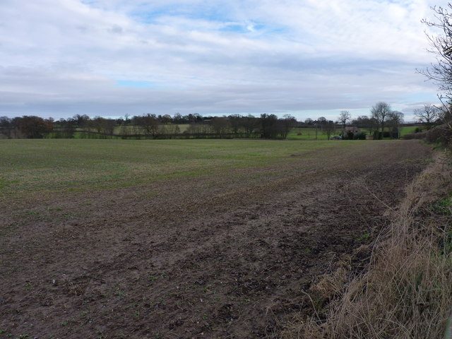
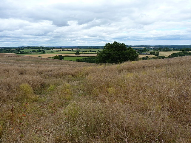
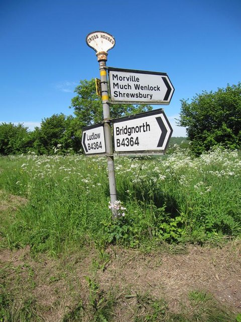
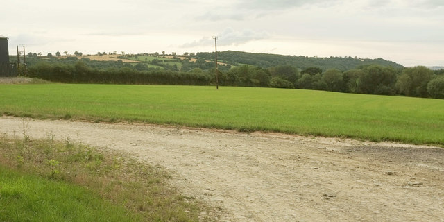
Oldbury is a small village located in the county of Shropshire, England. Situated approximately 11 miles southeast of the county town of Shrewsbury, Oldbury is nestled in the picturesque countryside of the West Midlands region. The village is part of the Shropshire Hills Area of Outstanding Natural Beauty, renowned for its stunning landscapes and rolling hills.
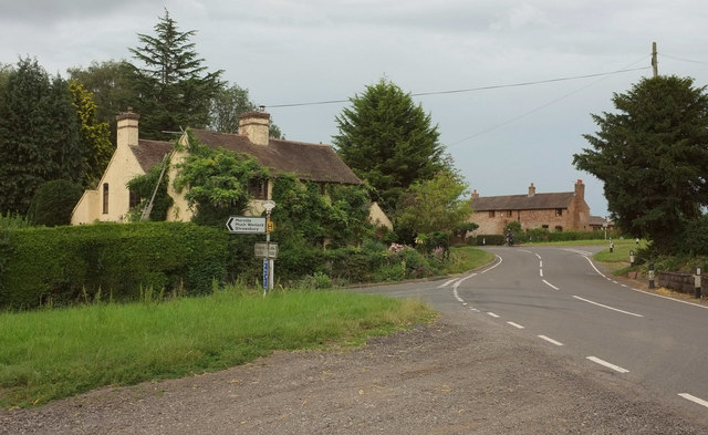
Oldbury is a quiet and peaceful village, with a population of around 500 residents. It is known for its charming rural character and traditional architecture, featuring a mix of historic timber-framed buildings and stone cottages. The village is surrounded by lush green fields and woodland, making it an ideal location for those seeking a peaceful retreat from the hustle and bustle of city life.
Despite its small size, Oldbury boasts a strong sense of community, with a parish church, village hall, and local pub serving as focal points for social gatherings and events. The village also benefits from a primary school, ensuring young families are catered for within the local community.
For outdoor enthusiasts, Oldbury offers plenty of opportunities to explore the surrounding natural beauty. The village is located near the famous Long Mynd and Stiperstones, popular destinations for hiking, cycling, and birdwatching. The nearby River Severn also provides opportunities for boating and fishing.
In conclusion, Oldbury is a charming village in Shropshire, offering a tranquil setting and a strong sense of community. Its idyllic location within the Shropshire Hills AONB makes it a desirable place to live for those seeking a rural lifestyle surrounded by natural beauty.
If you have any feedback on the listing, please let us know in the comments section below.
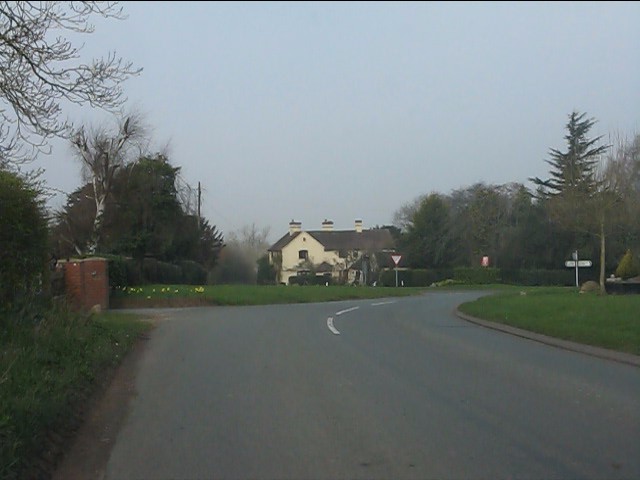
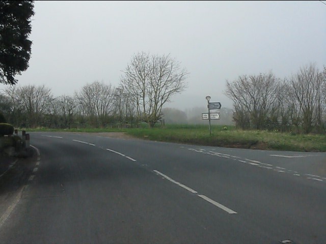
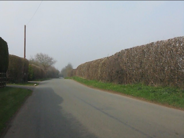
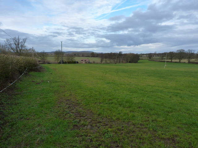
Oldbury Images
Images are sourced within 2km of 52.523543/-2.428135 or Grid Reference SO7191. Thanks to Geograph Open Source API. All images are credited.


Oldbury is located at Grid Ref: SO7191 (Lat: 52.523543, Lng: -2.428135)
Unitary Authority: Shropshire
Police Authority: West Mercia
What 3 Words
///delighted.prefer.weeks. Near Bridgnorth, Shropshire
Nearby Locations
Related Wikis

Oldbury, Shropshire
Oldbury is a small village and former civil parish, now in the parish of Bridgnorth, in the Shropshire district, in the ceremonial county of Shropshire...

Oldbury Wells School
Oldbury Wells School is a coeducational secondary school located in Bridgnorth, England. having 800 pupils, 122 of whom are in the sixth form. The school...

Daniels Mill, Shropshire
Daniels Mill is a working water mill used for milling flour, located near Bridgnorth in the English county of Shropshire. The mill has the largest cast...
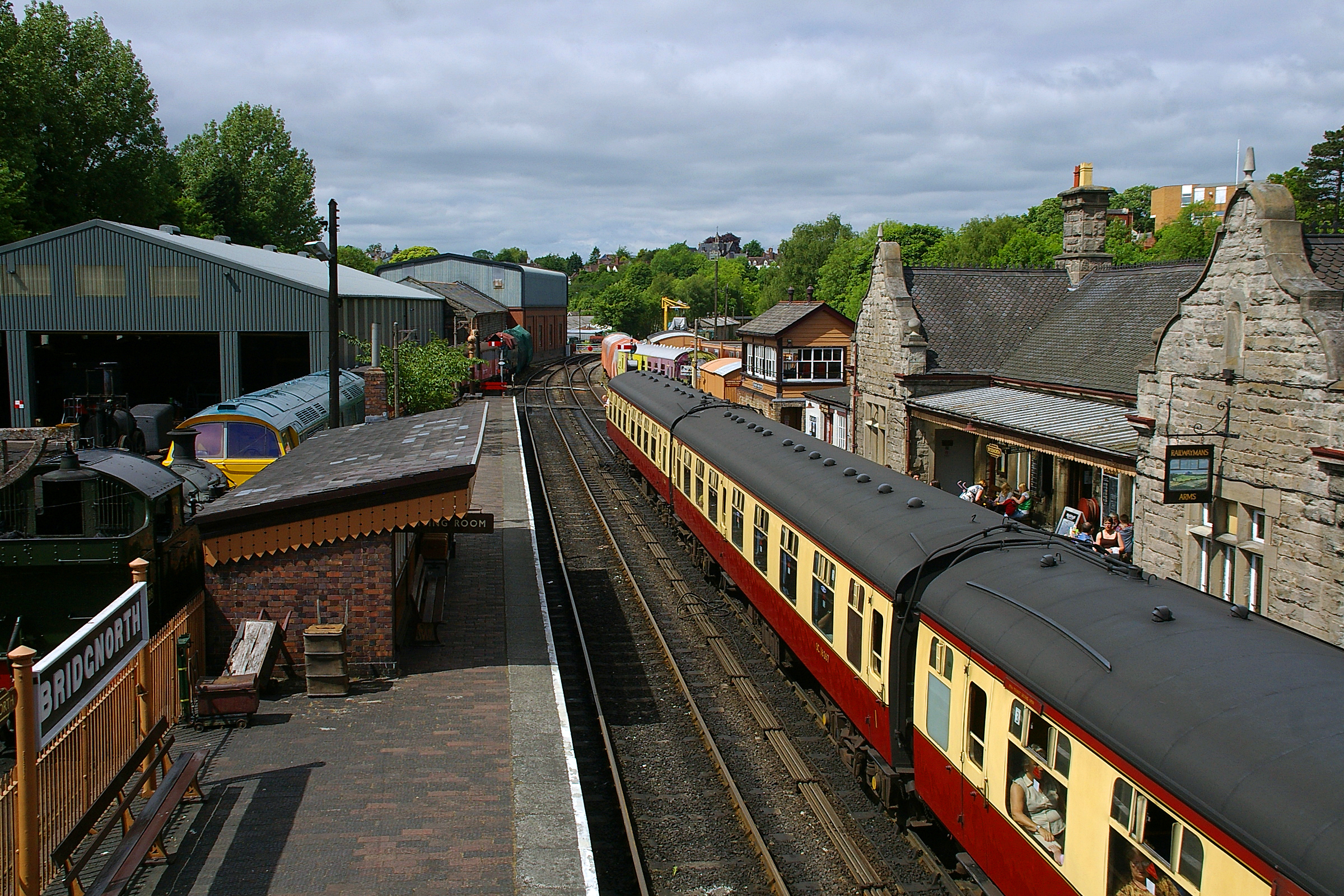
Bridgnorth railway station
Bridgnorth railway station is a station on the Severn Valley Railway heritage line, serving the Shropshire town of Bridgnorth, England. It is currently...
Nearby Amenities
Located within 500m of 52.523543,-2.428135Have you been to Oldbury?
Leave your review of Oldbury below (or comments, questions and feedback).