Potseething Coppice
Wood, Forest in Shropshire
England
Potseething Coppice
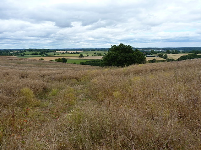
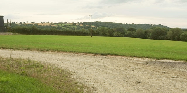
Potseething Coppice is a picturesque woodland located in the county of Shropshire, England. Situated near the village of Potseething, the coppice spans an area of approximately 50 acres, making it a substantial forested area in the region. The wood is renowned for its natural beauty and rich biodiversity, attracting visitors and nature enthusiasts from far and wide.
The coppice is predominantly composed of deciduous trees, including oak, ash, birch, and beech, which create a vibrant and ever-changing landscape throughout the seasons. The dense canopy provides a cool and shaded environment, perfect for leisurely walks and nature trails. The forest floor is adorned with a variety of wildflowers, ferns, and mosses, creating a colorful and enchanting setting.
Potseething Coppice is home to a diverse range of wildlife, making it an important habitat for many species. It is a haven for numerous bird species, including woodpeckers, owls, and various songbirds. Squirrels can often be seen scurrying among the tree branches, while rabbits and hedgehogs can be spotted foraging on the forest floor. The woodland also supports a rich insect population, with butterflies, dragonflies, and beetles adding to the vibrant ecosystem.
The forest offers a tranquil and peaceful escape from the bustling city life, attracting visitors who seek solace in nature. There are well-maintained footpaths and trails that wind through the wood, allowing visitors to explore and appreciate the natural beauty at their own pace. Interpretive signs and information boards provide educational opportunities, imparting knowledge about the local flora and fauna.
Overall, Potseething Coppice is a cherished natural gem in Shropshire, offering a serene and captivating experience for all who venture within its boundaries.
If you have any feedback on the listing, please let us know in the comments section below.
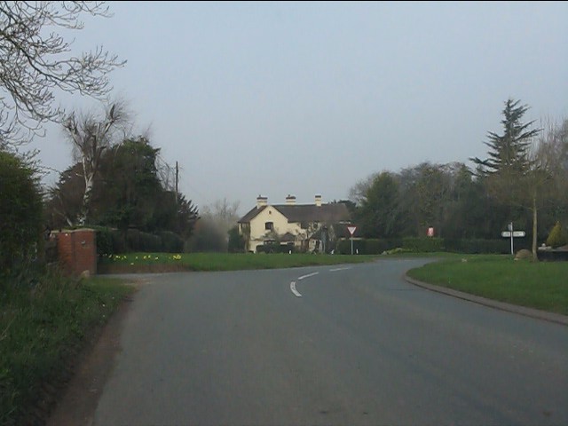
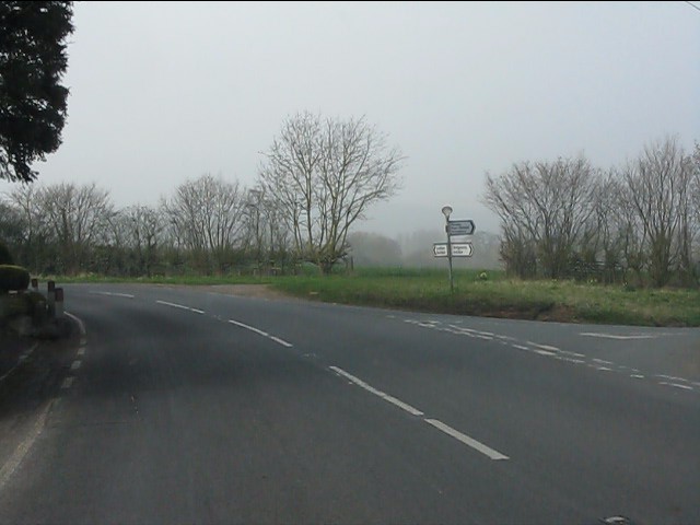
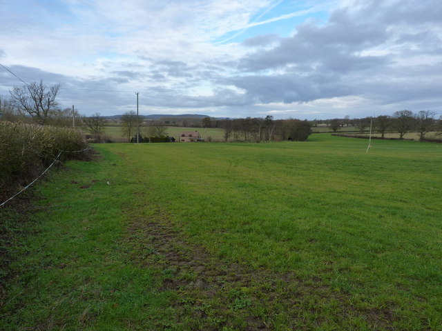
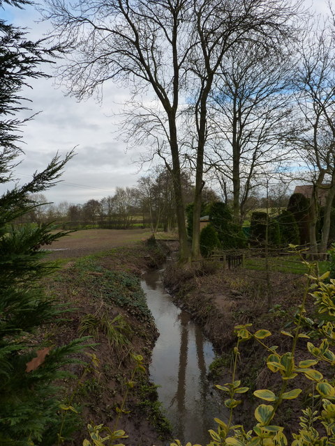
Potseething Coppice Images
Images are sourced within 2km of 52.520445/-2.4246513 or Grid Reference SO7191. Thanks to Geograph Open Source API. All images are credited.


Potseething Coppice is located at Grid Ref: SO7191 (Lat: 52.520445, Lng: -2.4246513)
Unitary Authority: Shropshire
Police Authority: West Mercia
What 3 Words
///expel.daredevil.lottery. Near Bridgnorth, Shropshire
Nearby Locations
Related Wikis

Oldbury, Shropshire
Oldbury is a small village and former civil parish, now in the parish of Bridgnorth, in the Shropshire district, in the ceremonial county of Shropshire...

Daniels Mill, Shropshire
Daniels Mill is a working water mill used for milling flour, located near Bridgnorth in the English county of Shropshire. The mill has the largest cast...

Oldbury Wells School
Oldbury Wells School is a coeducational secondary school located in Bridgnorth, England. having 800 pupils, 122 of whom are in the sixth form. The school...
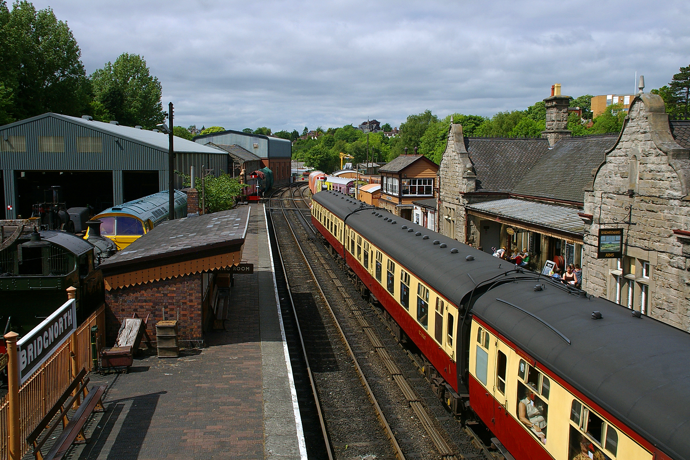
Bridgnorth railway station
Bridgnorth railway station is a station on the Severn Valley Railway heritage line, serving the Shropshire town of Bridgnorth, England. It is currently...
Nearby Amenities
Located within 500m of 52.520445,-2.4246513Have you been to Potseething Coppice?
Leave your review of Potseething Coppice below (or comments, questions and feedback).