Broom's Green Coppice

Wood, Forest in Herefordshire

England

Broom's Green Coppice

Former railway bridge, Tillers Green Beautifully constructed on a slight skew of brick and stone, this bridge took a farm track over the former GWR branch from Ledbury to Gloucester and may one day straddle the rebuilt Hereford to Gloucester canal, which the railway replaced.
Former railway bridge, Tillers Green Credit: Philip Pankhurst

Broom's Green Coppice is a picturesque woodland area located in Herefordshire, England. Spanning over several acres, this enchanting forest is nestled in the heart of the Herefordshire countryside, providing a tranquil escape from the hustle and bustle of city life.

The coppice is characterized by its diverse range of tree species, including oak, beech, ash, and birch. These majestic trees create a dense canopy that filters the sunlight, casting a dappled effect on the forest floor. The woodland is also adorned with a variety of wildflowers, such as bluebells, primroses, and wood anemones, adding bursts of color to the landscape during the springtime.

Visitors to Broom's Green Coppice can explore the woodland through a network of well-maintained paths and trails. The paths meander through the forest, leading visitors to hidden clearings, babbling brooks, and peaceful ponds. This allows for leisurely strolls, invigorating hikes, or even a spot of birdwatching, as the woodland is home to a rich variety of bird species, including woodpeckers, owls, and warblers.

Additionally, Broom's Green Coppice offers a unique opportunity for nature enthusiasts to learn about traditional woodland management practices. The coppice has been sustainably managed for centuries, with sections of the woodland regularly harvested for timber, firewood, and other woodland products. This traditional management technique promotes biodiversity and encourages the growth of native flora and fauna.

Overall, Broom's Green Coppice is a truly idyllic woodland retreat, offering a serene and immersive experience in the heart of Herefordshire's natural beauty.

If you have any feedback on the listing, please let us know in the comments section below.

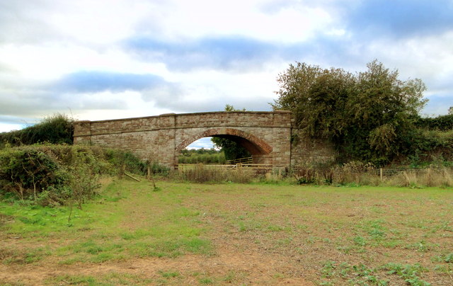
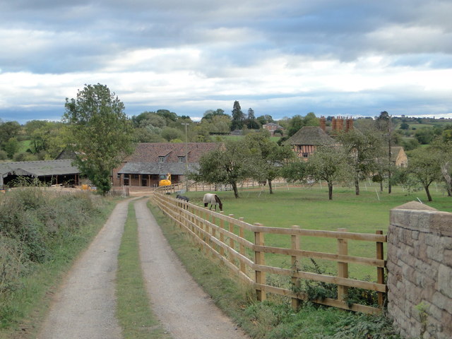
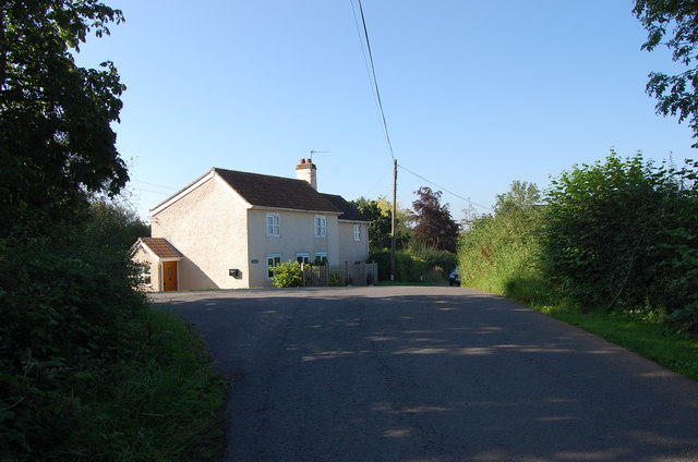
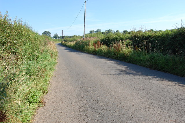
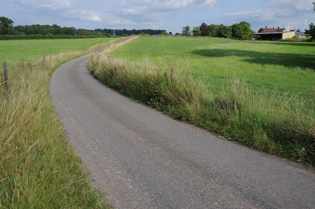
Broom's Green Coppice Images

Images are sourced within 2km of 51.995426/-2.4195904 or Grid Reference SO7133. Thanks to Geograph Open Source API. All images are credited.

Former railway bridge, Tillers Green Beautifully constructed on a slight skew of brick and stone, this bridge took a farm track over the former GWR branch from Ledbury to Gloucester and may one day straddle the rebuilt Hereford to Gloucester canal, which the railway replaced.
Former railway bridge, Tillers Green
Beautifully constructed on a slight skew of brick and stone, this bridge took a farm track over the former GWR branch from Ledbury to Gloucester and may one day straddle the rebuilt Hereford to Gloucester canal, which the railway replaced.
The lane to Pound Farm, Tillers Green Pound Farm dates from the 16th century and is seen from the former GWR railway bridge at Tillers Green.
The lane to Pound Farm, Tillers Green
Pound Farm dates from the 16th century and is seen from the former GWR railway bridge at Tillers Green.
House near Tillers Green
Unnamed Lane towards Drew's Farm
M50 near Ryton
M50 near Ryton
Wild daffodils by the M50 On this last day of March 2011, the flowers are starting to senesce.
Wild daffodils by the M50
On this last day of March 2011, the flowers are starting to senesce.
Country road at Donnington Country road near Donnington Court Farm and Donnington church.
Country road at Donnington
Country road near Donnington Court Farm and Donnington church.
Lane near Knight's Green A bit of February Fill-Dyke going on to the right of the road.
Lane near Knight's Green
A bit of February Fill-Dyke going on to the right of the road.
Old cider orchard A remnant of much larger plantations of orchards in West Gloucestershire.
Old cider orchard
A remnant of much larger plantations of orchards in West Gloucestershire.
Lane towards Greenway Bridge The bridge over the River Leadon is in the distance where the lane rises slightly.
Lane towards Greenway Bridge
The bridge over the River Leadon is in the distance where the lane rises slightly.
St Mary's Church, Donnington Although dating from 1300, it was much restored and extended around 1870.
St Mary's Church, Donnington
Although dating from 1300, it was much restored and extended around 1870.
Copse of Trees in field near Donnington
Cows in Field near Smallends Farm
Oast at Smallends Farm Unconverted Oast House, with "Herefordshire style" cowl.
Oast at Smallends Farm
Unconverted Oast House, with "Herefordshire style" cowl.
Oast at Smallends Farm Single square kiln oast house. Unusually narrow kiln.
Oast at Smallends Farm
Single square kiln oast house. Unusually narrow kiln.
Lane Junction near Broom's Green
Main Road at Broom's Green
Haffield, Donnington A two-storey stuccoed villa with what is described as a Greek Doric portico but looks more like a loggia. By Robert Smirke, 1817-18, for William Gordon (the left-hand block is c1840). Grade II listed.
Haffield, Donnington
A two-storey stuccoed villa with what is described as a Greek Doric portico but looks more like a loggia. By Robert Smirke, 1817-18, for William Gordon (the left-hand block is c1840). Grade II listed.
Show me another place!

Broom's Green Coppice is located at Grid Ref: SO7133 (Lat: 51.995426, Lng: -2.4195904)

Unitary Authority: County of Herefordshire

Police Authority: West Mercia

What 3 Words

///line.windpipe.saints. Near Donnington, Herefordshire

Related Wikis

Donnington, Herefordshire

Donnington is a village and civil parish near Ledbury. == Parish church == The parish church is dedicated to Saint Mary. Donnington Hall is located here...

Greenway Halt railway station (Gloucestershire)

Greenway Halt was a request stop on the former Ledbury and Gloucester Railway. It opened on 1st April 1937 and closed in 1959 when the line was closed...

Three Counties (Gloucestershire, Herefordshire and Worcestershire)

The Three Counties of England are traditionally the three agrarian counties of Gloucestershire, Herefordshire and Worcestershire.Including towns and cities...

Vell Mill Daffodil Meadow

Vell Mill Daffodil Meadow (grid reference SO710314) is a 2.1-hectare (5.2-acre) nature reserve in Gloucestershire.The site is owned and managed by the...

Nearby Amenities

Located within 500m of 51.995426,-2.4195904
Bus Stop
Memorial Hall
Naptan AtcoCode: 1600GLA36647
Naptan Bearing: E
Naptan CommonName: Memorial Hall
Naptan Indicator: Opp
Naptan NaptanCode: glogmgta
Naptan Street: Main Road
Naptan Verified: no
Source: naptan_import
Lat/Long: 51.9942107/-2.4199695
Bus Stop
Memorial Hall
Naptan AtcoCode: 1600GLA36648
Naptan Bearing: W
Naptan CommonName: Memorial Hall
Naptan NaptanCode: glogmgtd
Naptan Street: Main Road
Naptan Verified: no
Source: naptan_import
Lat/Long: 51.9941373/-2.4199567
Brooms Green
Place: hamlet
Source: OS 1:25k
Lat/Long: 51.9942923/-2.4162299
Barrier: stile
Lat/Long: 51.9914322/-2.4189616
Barrier: stile
Lat/Long: 51.9915595/-2.4189716
Barrier: stile
Lat/Long: 51.992731/-2.4187027
Barrier: stile
Lat/Long: 51.9933609/-2.4185451
Barrier: stile
Lat/Long: 51.9933971/-2.4185681
Post Box
Collection Times: Mo-Fr 16:30; Sa 08:15
Post Box Type: lamp
Ref: GL18 333
Royal Cypher: EIIR
Royal Cypher Wikidata: Q33102113
Lat/Long: 51.9941957/-2.4190766
Barrier: stile
Source: survey+gps
Lat/Long: 51.9941748/-2.4164532
Barrier: stile
Source: survey+gps
Lat/Long: 51.9943433/-2.4162976
Barrier: stile
Source: survey+gps
Lat/Long: 51.9983382/-2.414589
Barrier: stile
Source: survey+gps
Lat/Long: 51.9944883/-2.4161218
Generator Method: photovoltaic
Generator Output Electricity: yes
Generator Source: solar
Generator Type: solar_photovoltaic_panel
Location: roof
Power: generator
Lat/Long: 51.9933981/-2.416276
Power: pole
Lat/Long: 51.9991304/-2.4223781
Pump House Donnington
Power: pole
Transformer: distribution
Voltage Primary: 11000
Lat/Long: 51.9990965/-2.4211912
Power: pole
Lat/Long: 51.9987555/-2.4195564
Power: pole
Lat/Long: 51.9984707/-2.4181697
Power: pole
Lat/Long: 51.9982064/-2.4169144
Power: pole
Lat/Long: 51.9913026/-2.4199171
Power: pole
Lat/Long: 51.9920215/-2.4194524
Power: pole
Lat/Long: 51.9930472/-2.418633
Power: pole
Lat/Long: 51.9927296/-2.4189965
Broom's Green West
Power: pole
Transformer: distribution
Voltage Primary: 11000
Lat/Long: 51.9939064/-2.4193472
Power: pole
Lat/Long: 51.9935559/-2.4186008
Whites Farm
Power: pole
Transformer: distribution
Voltage Primary: 11000
Lat/Long: 51.9933775/-2.4179504
Power: pole
Lat/Long: 51.9933874/-2.4182408
Power: pole
Lat/Long: 51.9938106/-2.4177325
Power: pole
Lat/Long: 51.9941157/-2.4174173
Broom's Green
Power: pole
Transformer: distribution
Voltage Primary: 11000
Lat/Long: 51.9944729/-2.4172416
Power: pole
Lat/Long: 51.9953176/-2.4167957
Power: pole
Lat/Long: 51.9961512/-2.4163699
Power: pole
Lat/Long: 51.9969939/-2.4159475
Power: pole
Lat/Long: 51.997832/-2.4155197
Power: pole
Lat/Long: 51.9974786/-2.4142034
The data included in this document is from www.openstreetmap.org. The data is made available under ODbL.

Have you been to Broom's Green Coppice?

Leave your review of Broom's Green Coppice below (or comments, questions and feedback).