Albourne Street

Settlement in Sussex Mid Sussex

England

Albourne Street

Lamb House, Cuckfield Road
Lamb House, Cuckfield Road Credit: Peter Jeffery

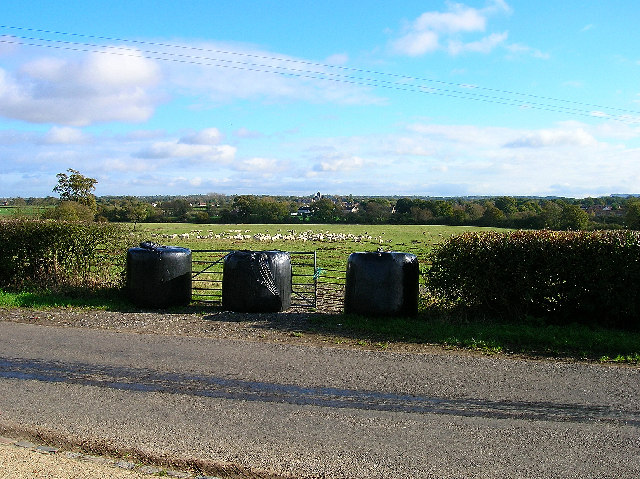
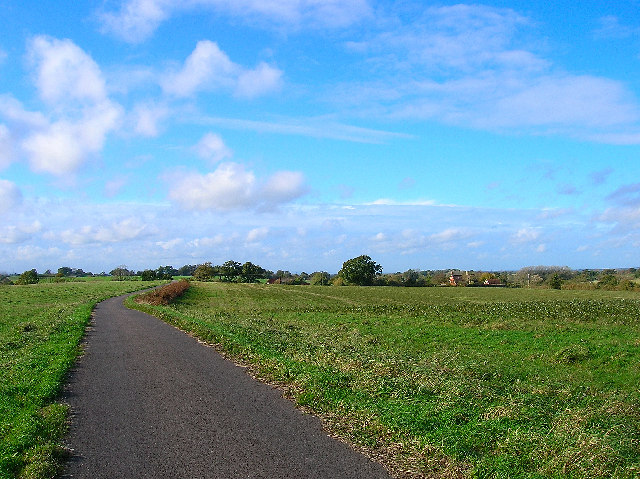
Albourne Street is a charming village located in the county of Sussex, in the southern part of England. It is nestled amidst the picturesque countryside and is renowned for its idyllic setting and peaceful atmosphere. The village is situated approximately 11 miles north of the county town of Brighton and Hove.

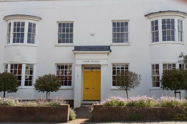
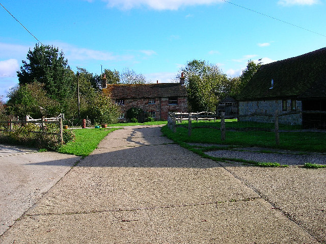
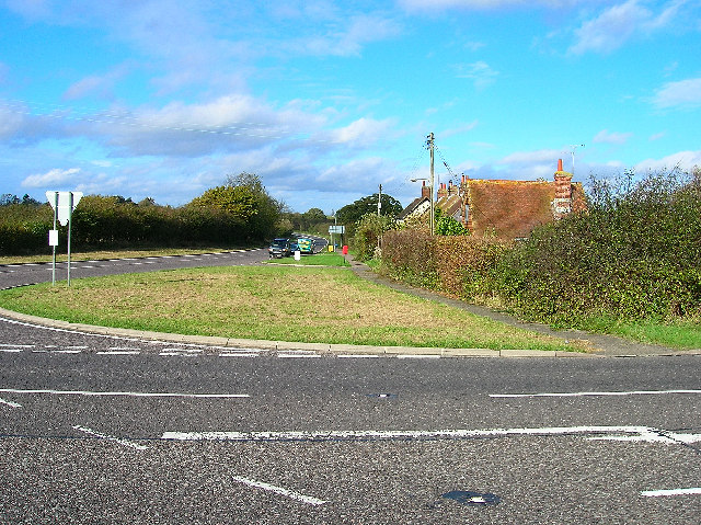
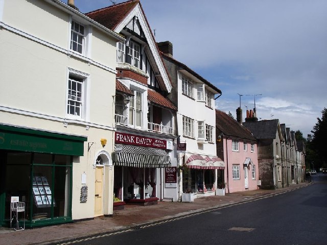
Albourne Street is known for its historic architecture, with many of its buildings dating back to the 16th and 17th centuries. The village is characterized by quaint cottages, timber-framed houses, and beautiful gardens, showcasing the traditional English countryside charm.

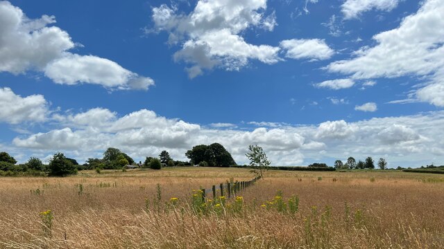
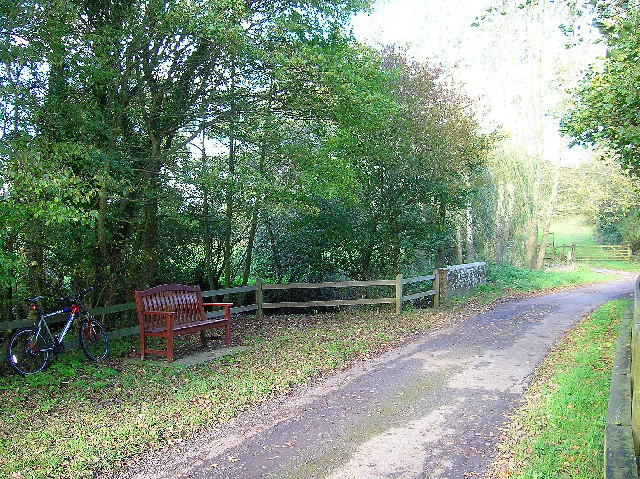
The surrounding area offers stunning natural beauty, with rolling hills and expansive fields, making it a paradise for nature lovers and outdoor enthusiasts. The village is also home to Albourne Place, a magnificent manor house built in the 18th century, which adds to the historical significance of the area.

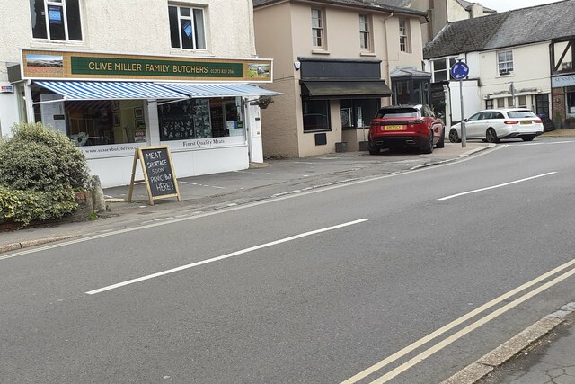
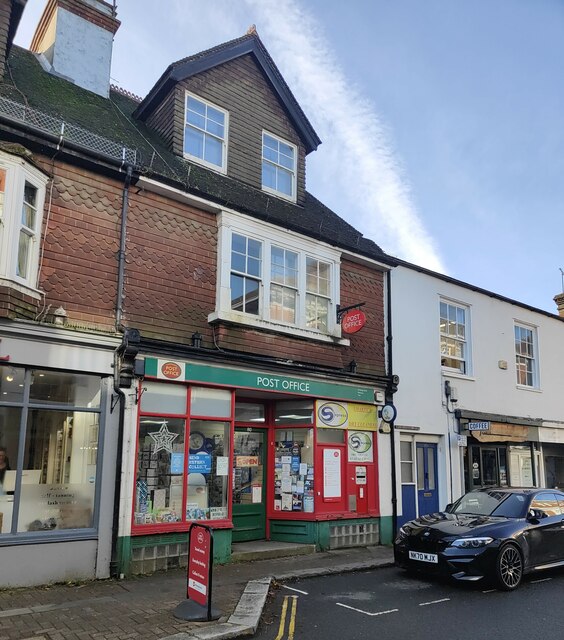
Despite its small size, Albourne Street offers a range of amenities to its residents and visitors. There is a village hall which hosts community events, a local pub serving traditional British cuisine, and a small convenience store for everyday necessities.

The village is well-connected to nearby towns and cities, with good transport links including regular bus services. This makes Albourne Street an ideal location for those seeking a peaceful rural lifestyle while still having easy access to urban amenities.

Overall, Albourne Street embodies the quintessential English village, with its rich history, stunning natural surroundings, and warm community spirit. It is a place where one can escape the hustle and bustle of city life and enjoy the tranquility of the countryside.

If you have any feedback on the listing, please let us know in the comments section below.

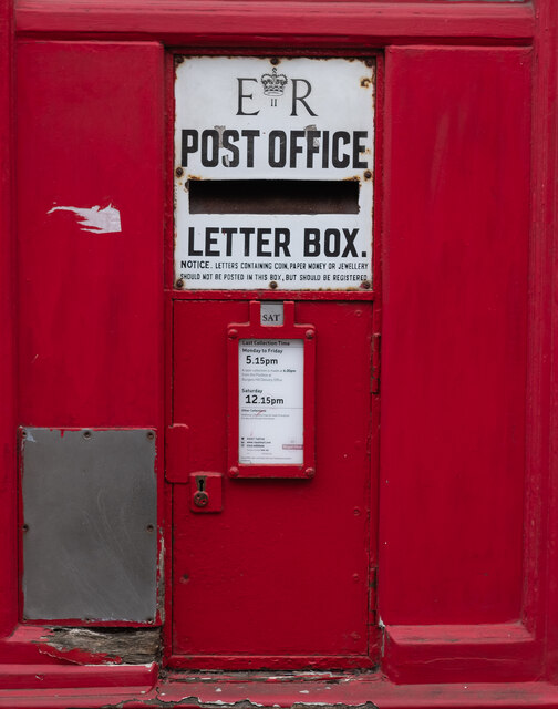
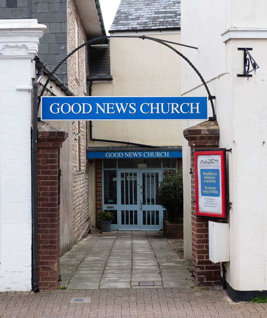
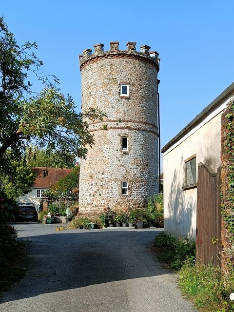
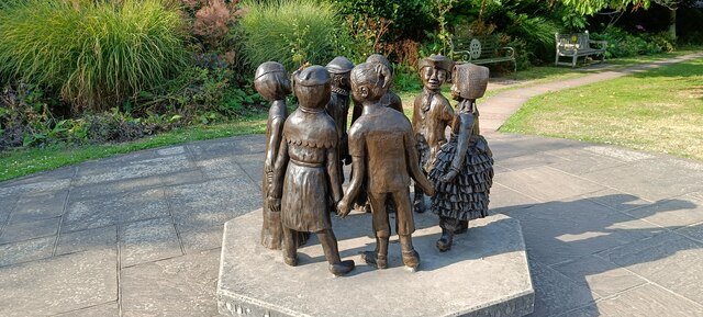
Albourne Street Images

Images are sourced within 2km of 50.933769/-0.20230352 or Grid Reference TQ2616. Thanks to Geograph Open Source API. All images are credited.

Lamb House, Cuckfield Road
Clive Miller Family Butcher Cuckfield Road.
Clive Miller Family Butcher
Cuckfield Road.
Hurstpierpoint : Mansion House Find out more about this Grade II* listed building at this <span class="nowrap"><a title="https://en.wikipedia.org/wiki/Mansion_House,_Hurstpierpoint" rel="nofollow ugc noopener" href="https://en.wikipedia.org/wiki/Mansion_House,_Hurstpierpoint">Link</a><img style="margin-left:2px;" alt="External link" title="External link - shift click to open in new window" src="https://s1.geograph.org.uk/img/external.png" width="10" height="10"/></span>.
Hurstpierpoint : Mansion House
Find out more about this Grade II* listed building at this LinkExternal link.
Field boundary west of Wick Farm
Hurstpierpoint : Post Office letter box
Hurstpierpoint : Good News Church Evangelical church
Hurstpierpoint : Good News Church
Evangelical church
Tower in garden of 74 High Street
Children of the Fair
Hurstpierpoint Post Office The Post Office dates way back to 1660 when it was established by Charles II. The next year the postmark was first used. The first purpose-built mail facility was opened at St Martin Le Grande London in 1829. The invention of the adhesive postage stamp by Sir Rowland Hill followed in 1837.
Hurstpierpoint Post Office
The Post Office dates way back to 1660 when it was established by Charles II. The next year the postmark was first used. The first purpose-built mail facility was opened at St Martin Le Grande London in 1829. The invention of the adhesive postage stamp by Sir Rowland Hill followed in 1837.
Washbrook Farm The cafe is a popular meeting place for cyclists.
Washbrook Farm
The cafe is a popular meeting place for cyclists.
Shaves Wood at Dawn Taken from opposite East Wood Farm. Looking East almost directly towards the sun (behind the tree trunk) just catching the fleeing wildlife.
Shaves Wood at Dawn
Taken from opposite East Wood Farm. Looking East almost directly towards the sun (behind the tree trunk) just catching the fleeing wildlife.
Keep Out Determined to keep trespassers out - a well blocked gateway to protect the maize crop.
Keep Out
Determined to keep trespassers out - a well blocked gateway to protect the maize crop.
Grazing sheep, near Hurstpierpoint. Taken from the bridleway that leads across the A23(T) to Albourne. Looking east Hurstpierpoint College can just be made out in the distance.
Grazing sheep, near Hurstpierpoint.
Taken from the bridleway that leads across the A23(T) to Albourne. Looking east Hurstpierpoint College can just be made out in the distance.
Coombe Farm, near Sayers Common Looking east from the bridleway. The A23(T) thunders past just behind it.
Coombe Farm, near Sayers Common
Looking east from the bridleway. The A23(T) thunders past just behind it.
Softtech Global, London Road, Albourne Much change of usage is in evidence here. The road in the foreground up to 1990 was the A23(T) which has now been superseded by the dual carriageway which runs to the west. The building in the background was originally an inn. Built in 1938 by A.B.Peckham to cater for the growing motoring trade. Taken from the junction with the B2116 looking west.
Softtech Global, London Road, Albourne
Much change of usage is in evidence here. The road in the foreground up to 1990 was the A23(T) which has now been superseded by the dual carriageway which runs to the west. The building in the background was originally an inn. Built in 1938 by A.B.Peckham to cater for the growing motoring trade. Taken from the junction with the B2116 looking west.
Resting place, Church Lane, Albourne A fine place to sit and have your lunch on a pleasant November afternoon. Looking north as the lane crosses Cutlers Brook before turning sharply right. My mode of transport is parked behind it.
Resting place, Church Lane, Albourne
A fine place to sit and have your lunch on a pleasant November afternoon. Looking north as the lane crosses Cutlers Brook before turning sharply right. My mode of transport is parked behind it.
Bishops Place, near Albourne Looking west down the driveway towards Bishops Place which is to the right of the picture. Spring Hills Golf Course can just be made out to the very left.
Bishops Place, near Albourne
Looking west down the driveway towards Bishops Place which is to the right of the picture. Spring Hills Golf Course can just be made out to the very left.
Muddleswood crossways Looking north across the B2117 up the former A23(T). The road south is now disused except as a cycle track and access point for two cottages. The nearest building is the former tollgate collection point for this stretch of the former London-Brighton turnpike.
Muddleswood crossways
Looking north across the B2117 up the former A23(T). The road south is now disused except as a cycle track and access point for two cottages. The nearest building is the former tollgate collection point for this stretch of the former London-Brighton turnpike.
Show me another place!

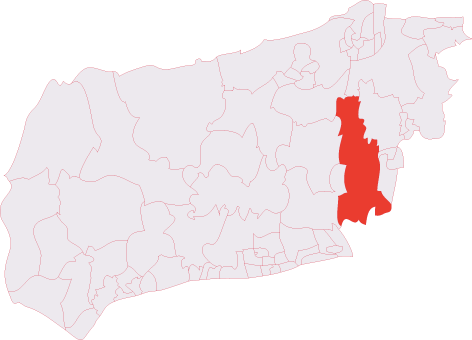
Albourne Street is located at Grid Ref: TQ2616 (Lat: 50.933769, Lng: -0.20230352)

Administrative County: West Sussex

District: Mid Sussex

Police Authority: Sussex

What 3 Words

///pretty.muted.area. Near Hurstpierpoint, West Sussex

Related Wikis

Albourne

Albourne is a village and civil parish in the Mid Sussex district of West Sussex, England. It lies just off the A23 road three miles (4.8 km) east of Henfield...

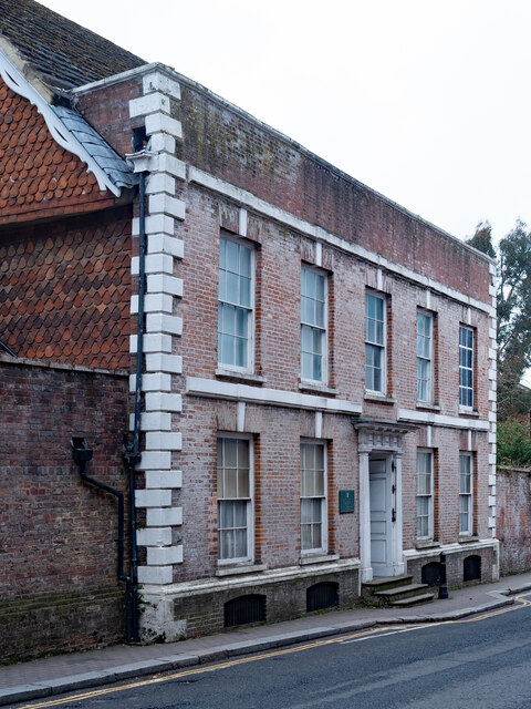
Mansion House, Hurstpierpoint

Mansion House is a prominent and historically significant Grade II* listed Georgian village property in Hurstpierpoint, West Sussex, England. The substantial...

Hurstpierpoint

Hurstpierpoint is a village in West Sussex, England, 4 miles (6.4 km) southwest of Burgess Hill, and 1.5 miles (2.4 km) west of Hassocks railway station...

Sayers Common

Sayers Common is a village in the Mid Sussex District of West Sussex, England. With Hurstpierpoint it forms one of the Mid Sussex parishes. It is located...

Hurstpierpoint and Sayers Common

Hurstpierpoint and Sayers Common is a civil parish in Mid Sussex District, West Sussex, England. == Settlements == === Major settlements === Hurstpierpoint...

Blackstone, West Sussex

Blackstone is a hamlet in the civil parish of Woodmancote and the Horsham district of West Sussex, England. Blackstone is significant for its listed...

Hurstpierpoint & Bolney (electoral division)

Hurstpierpoint & Bolney is an electoral division of West Sussex in the United Kingdom, and returns one member to sit on West Sussex County Council. �...
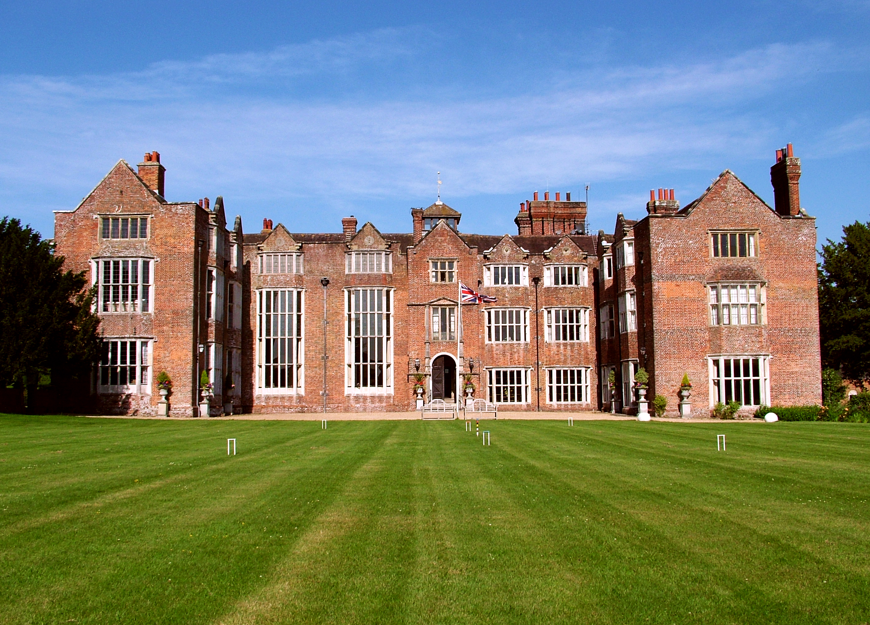
Danny House

Danny House is a Grade I listed Elizabethan red brick mansion near Hurstpierpoint in West Sussex, England. It lies at the northern foot of Wolstonbury...

Related Videos

Walking with Lamas UK pasture #Lama

no people about : these animals were good company ;-)

Celebrity Homes - Village Walk | Slimming World Body Magic

Celebrity homes and Village life and body magic is great when needed to up my step count. I would like to see around your village ...

Baby Boy's First Birthday at Washbrooks Farm | The Autumn Family Vlog

We go to Washbrooks Family Farm for Sebastian's belated Birthday after a beautiful woodland dog walk.

Nearby Amenities

Located within 500m of 50.933769,-0.20230352
Bus Stop
Holders
Naptan AtcoCode: 4400MS0217
Naptan Bearing: E
Naptan CommonName: The Street
Naptan Indicator: opp 21
Naptan Landmark: The Street
Naptan NaptanCode: wsxdmdpj
Naptan Street: Holders
Naptan Verified: no
Source: naptan_import
Lat/Long: 50.9372938/-0.2015439
Bus Stop
Traffic Lights
Bus: yes
Local Ref: A
Naptan AtcoCode: 4400MS0219
Naptan Bearing: N
Naptan CommonName: Traffic Lights
Naptan Indicator: a
Naptan Landmark: Albourne Road
Naptan NaptanCode: wsxdmdpt
Naptan ShortCommonName: Albourne T Lights
Naptan Street: B2118
Naptan Verified: no
Public Transport: platform
Source: naptan_import
Lat/Long: 50.9362386/-0.1995758
Bus Stop
The Street
Naptan AtcoCode: 4400MS0220
Naptan Bearing: N
Naptan CommonName: The Street
Naptan Indicator: opp Woodbine Cottage
Naptan Landmark: The Street
Naptan NaptanCode: wsxdmdpw
Naptan Street: B2118
Naptan Verified: no
Source: naptan_import
Lat/Long: 50.9332255/-0.1997635
Bus Stop
Traffic Lights
Bus: yes
Naptan AtcoCode: 4400MS0243
Naptan Bearing: E
Naptan CommonName: Traffic Lights
Naptan Indicator: on Hurstpierpoint Road
Naptan Landmark: B2118
Naptan NaptanCode: wsxdmgda
Naptan ShortCommonName: Albourne T Lights
Naptan Street: Albourne Street
Naptan Verified: no
Public Transport: platform
Source: naptan_import
Lat/Long: 50.9363232/-0.1994309
Bus Stop
Hazeldens Nurseries
Naptan AtcoCode: 4400MS0315
Naptan Bearing: S
Naptan BusStopType: CUS
Naptan CommonName: Hazeldens Nurseries
Naptan Indicator: opp
Naptan Landmark: Hail & Ride
Naptan NaptanCode: wsxgdgpd
Naptan Street: London Road B2118
Naptan Verified: no
Source: naptan_import
Lat/Long: 50.9310731/-0.1995763
Bus Stop
Hazeldens Nurseries
Naptan AtcoCode: 4400MS0316
Naptan Bearing: N
Naptan BusStopType: CUS
Naptan CommonName: Hazeldens Nurseries
Naptan Indicator: adj
Naptan Landmark: Hail & Ride
Naptan NaptanCode: wsxgdgpg
Naptan Street: London Road B2118
Naptan Verified: no
Source: naptan_import
Lat/Long: 50.931104/-0.1998312
Albourne
Is In: West Sussex;England;United Kingdom
Place: village
Wikidata: Q2711302
Lat/Long: 50.9347753/-0.2004246
Post Box
Collection Times: Mo-Fr 16:00; Sa 09:15
Operator: Royal Mail
Post Box Type: wall
Ref: BN6 379
Royal Cypher: EIIR
Royal Cypher Wikidata: Q33102113
Lat/Long: 50.9372796/-0.2024851
Post Box
Collection Times: Mo-Fr 09:00; Sa 07:00
Operator: Royal Mail
Post Box Type: wall
Ref: BN6 418D
Royal Cypher: EIIR
Royal Cypher Wikidata: Q33102113
Lat/Long: 50.9332561/-0.199901
Power: pole
Lat/Long: 50.9329641/-0.208441
Power: pole
Lat/Long: 50.932882/-0.2076334
Power: pole
Lat/Long: 50.9327585/-0.2060687
Power: pole
Lat/Long: 50.9326882/-0.2053428
Power: pole
Lat/Long: 50.9325639/-0.2040333
Power: pole
Lat/Long: 50.9324679/-0.2026737
Power: pole
Lat/Long: 50.9324535/-0.2023485
Power: pole
Lat/Long: 50.9327969/-0.2066496
Power: pole
Lat/Long: 50.9332143/-0.2045557
Power: pole
Lat/Long: 50.9337675/-0.2037738
Power: pole
Lat/Long: 50.9342038/-0.2035885
Bench
Lat/Long: 50.9366862/-0.2007182
Bench
Lat/Long: 50.9366743/-0.2008898
Traffic Signals
Traffic Signals: signal
Traffic Signals Direction: forward
Lat/Long: 50.9356884/-0.1993245
Traffic Signals
Traffic Signals: signal
Traffic Signals Direction: backward
Lat/Long: 50.935405/-0.1993062
Traffic Signals
Traffic Signals: signal
Traffic Signals Direction: forward
Lat/Long: 50.9356109/-0.1991351
The data included in this document is from www.openstreetmap.org. The data is made available under ODbL.

Have you been to Albourne Street?

Leave your review of Albourne Street below (or comments, questions and feedback).