Alburgh Street

Settlement in Norfolk South Norfolk

England

Alburgh Street

Direction Sign – Signpost on Norwich Road, Denton Located on the north side of the T junction of Norwich Road and Chapel Hill in Denton parish. 3 arms and cap finial. See also <a title="https://www.geograph.org.uk/photo/4166781" href="https://www.geograph.org.uk/photo/4166781">Link</a>.

Milestone Society National ID: NO_TM2788
Direction Sign – Signpost on Norwich Road, Denton Credit: A Farthing

Alburgh Street is a charming village located in the rural county of Norfolk, England. Situated in the South Norfolk district, the village is surrounded by rolling countryside and is known for its picturesque landscapes and idyllic countryside views.

The village itself is small and has a population of approximately 300 residents. Alburgh Street is characterized by its traditional architecture, with many of the houses dating back to the 18th and 19th centuries. The village maintains a peaceful and tranquil atmosphere, making it an ideal place for those seeking a quiet and relaxed lifestyle.

Alburgh Street is well-connected to the surrounding areas, with good road links to the nearby towns of Harleston and Diss. The village also benefits from a range of amenities including a local pub, a village hall, and a primary school, providing a close-knit community feel.

For outdoor enthusiasts, Alburgh Street offers plenty of opportunities to explore the surrounding countryside. The village is located close to the Norfolk Broads, a network of rivers, lakes, and marshes, which is famous for its boating and wildlife. The area is also popular for walking and cycling, with numerous footpaths and trails to discover.

Overall, Alburgh Street is a quintessential English village that offers a peaceful and rural lifestyle with easy access to nearby amenities and beautiful natural surroundings.

If you have any feedback on the listing, please let us know in the comments section below.

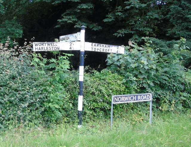
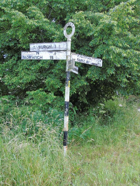
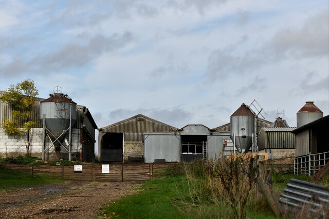
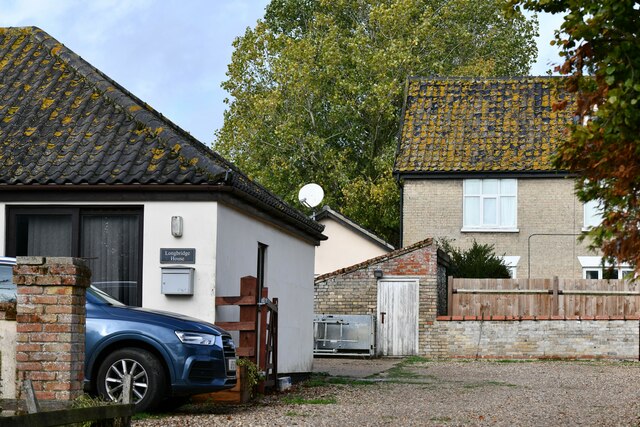
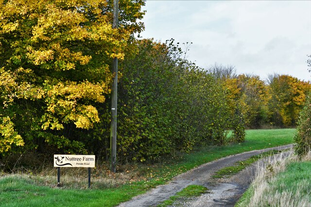
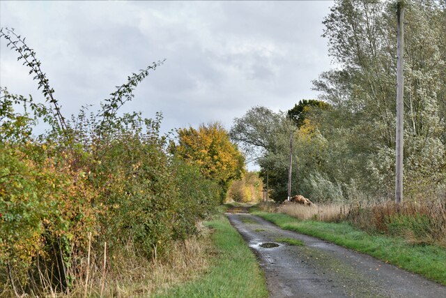
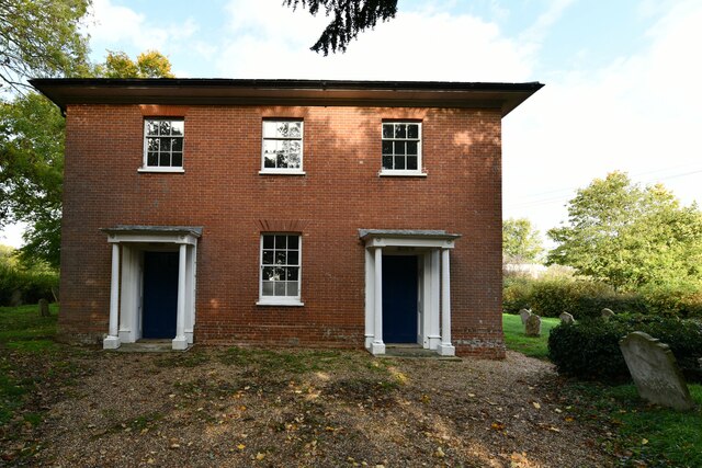
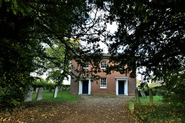
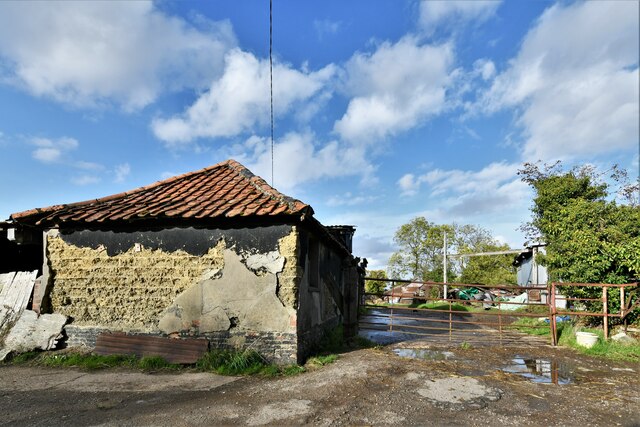
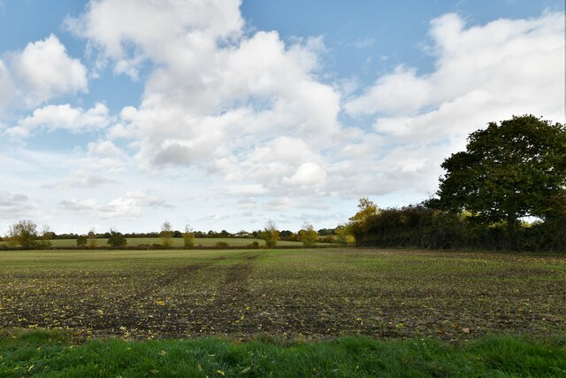
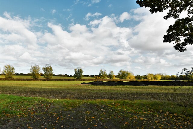
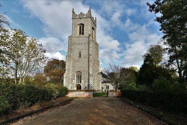
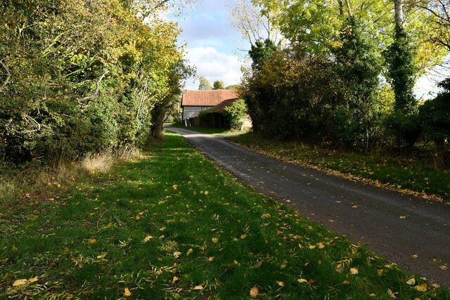
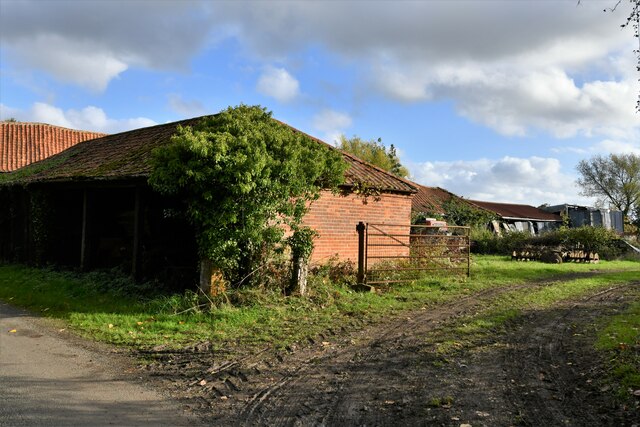
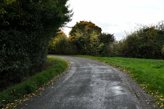
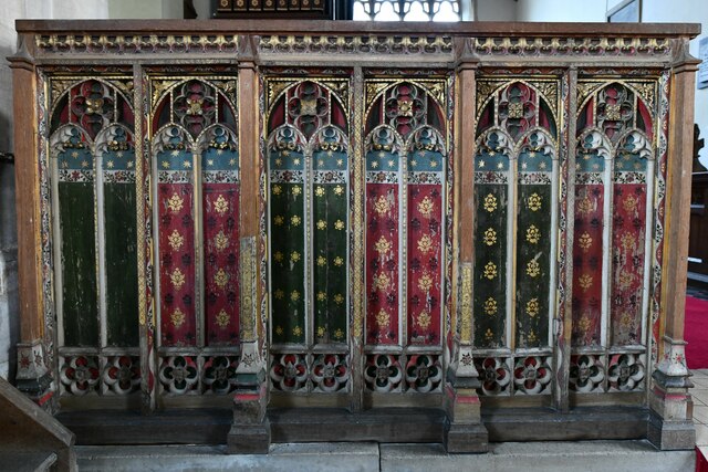
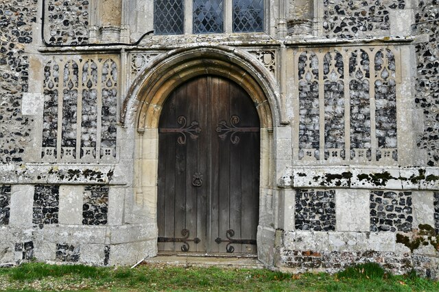
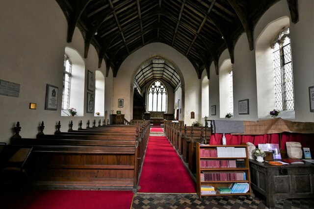
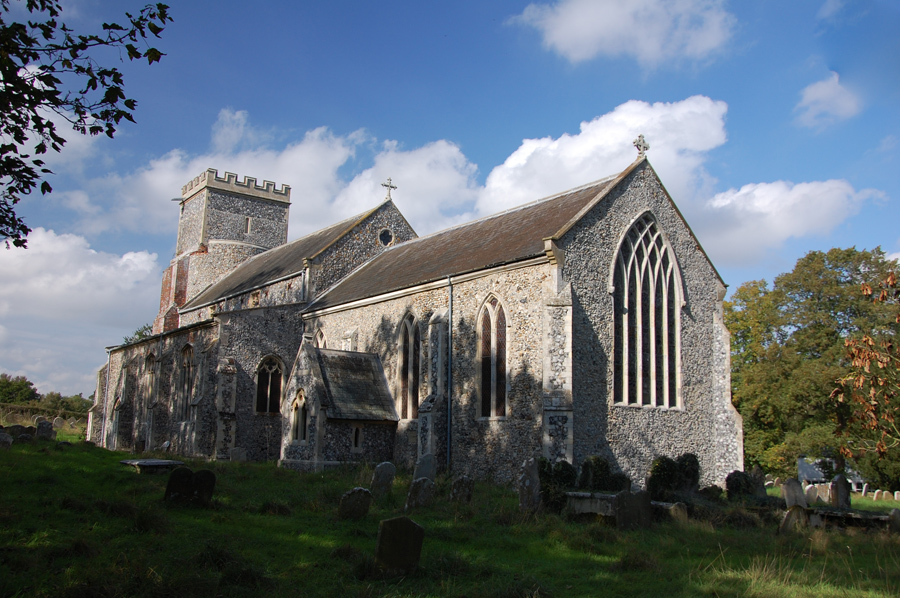
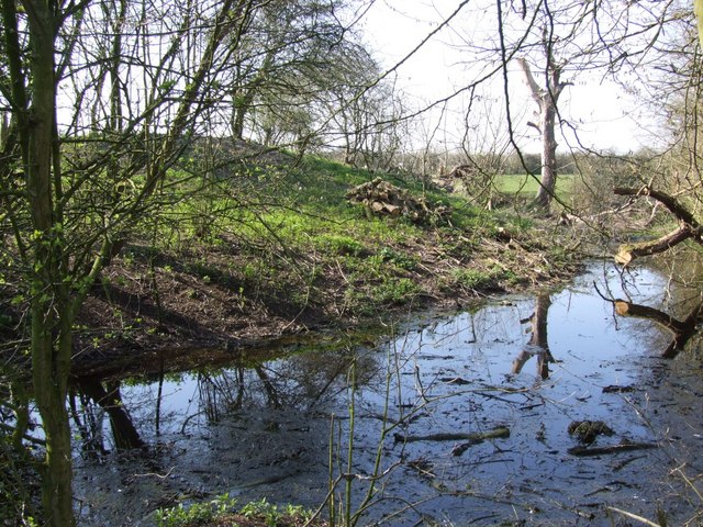
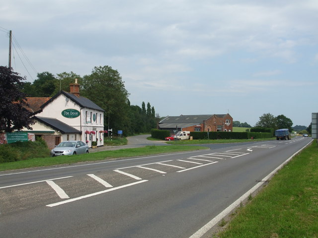
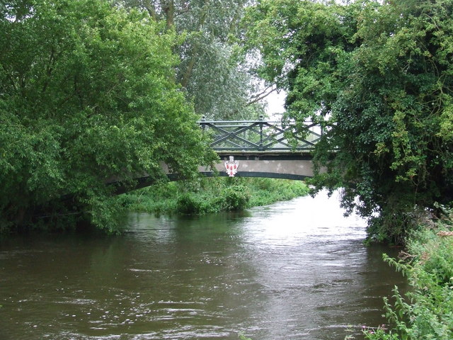
Alburgh Street Images

Images are sourced within 2km of 52.437388/1.3319477 or Grid Reference TM2687. Thanks to Geograph Open Source API. All images are credited.

Direction Sign – Signpost on Norwich Road, Denton Located on the north side of the T junction of Norwich Road and Chapel Hill in Denton parish. 3 arms and cap finial. See also <a title="https://www.geograph.org.uk/photo/4166781" href="https://www.geograph.org.uk/photo/4166781">Link</a>.

Milestone Society National ID: NO_TM2788
Direction Sign – Signpost on Norwich Road, Denton
Located on the north side of the T junction of Norwich Road and Chapel Hill in Denton parish. 3 arms and cap finial. See also Link. Milestone Society National ID: NO_TM2788
Direction Sign – Signpost on Danacre Road, Denton Located on the northeast side of the crossroads of Denton Road, Danacre Road and Alburgh Road in Denton parish. 5 arms and annulus finial. See also <a title="https://www.geograph.org.uk/photo/4167419" href="https://www.geograph.org.uk/photo/4167419">Link</a>.

Milestone Society National ID: NO_TM2887
Direction Sign – Signpost on Danacre Road, Denton
Located on the northeast side of the crossroads of Denton Road, Danacre Road and Alburgh Road in Denton parish. 5 arms and annulus finial. See also Link. Milestone Society National ID: NO_TM2887
Alburgh: Pied Bridge Farm
Alburgh: Longbridge House
Redenhall with Starston: Track to Nuttree farm
Redenhall with Starston: Low Road
Denton United Reformed Church
Denton: Haggards Farm
Denton: Crop beginning to show
Alburgh, All Saints Church: Western aspect
Denton: Paynes Hill
Denton: Paynes Hill
Denton: Paynes Hill Farm
Denton: Paynes Hill
Denton: Paynes Hill
Alburgh, All Saints Church: c15th screen dado
Alburgh, All Saints Church: Western entrance
Alburgh, All Saints Church: The nave
Show me another place!

Alburgh Street is located at Grid Ref: TM2687 (Lat: 52.437388, Lng: 1.3319477)

Administrative County: Norfolk

District: South Norfolk

Police Authority: Norfolk

What 3 Words

///tadpole.removers.publish. Near Harleston, Norfolk

Nearby Locations

Alburgh Street

Related Wikis

Alburgh

Alburgh is a village and civil parish in the English county of Norfolk. It lies about four miles (6 km) north-east of Harleston and 16 miles (26 km) south...

Denton, Norfolk

Denton is a village and civil parish in the English county of Norfolk. Denton is located 3.8 miles north-east of Harleston and 13 miles south of Norwich...

Denton Castle

Denton Castle is a motte and bailey castle built in the village of Denton, Norfolk, England. == History == Denton Castle was built after 1088, following...

Homersfield railway station

Homersfield was a railway station which served the village of Homersfield in Suffolk, England, although the station was located in Alburgh, across the...

Homersfield Bridge

Homersfield Bridge is a road bridge across the River Waveney between Norfolk and Suffolk, and stands partly in the civil parishes of Alburgh and Wortwell...

Wortwell railway station

Wortwell was a station in the small hamlet of Wortwell, Norfolk. It was opened in 1855, as part of the Waveney Valley Line between Tivetshall and Beccles...

Homersfield

Homersfield, also known as St Mary, South Elmham, is a village and civil parish in the north of the English county of Suffolk. It is in the East Suffolk...

Wortwell

Wortwell is a village and civil parish in the English county of Norfolk and adjoining the county of Suffolk. It is located on both the River Waveney (which...

Nearby Amenities

Located within 500m of 52.437388,1.3319477
Bus Stop
Church Road, adj
Bus: yes
Naptan AtcoCode: 2900A041
Naptan Bearing: SE
Naptan CommonName: Church Road
Naptan Indicator: adj
Naptan Landmark: Village Hall
Naptan Locality: Alburgh
Naptan NaptanCode: nfoadajd
Naptan ShortCommonName: Church Rd
Naptan Street: The Street
Naptan Verified: no
Public Transport: platform
Source: naptan_import
Lat/Long: 52.4359337/1.3335511
Pagan Terrace, opp
Naptan AtcoCode: 2900A047
Naptan Bearing: NW
Naptan BusStopType: CUS
Naptan CommonName: Pagan Terrace
Naptan Indicator: opp
Naptan Landmark: Council Houses
Naptan Locality: Alburgh
Naptan NaptanCode: nfoadamd
Naptan ShortCommonName: Pagan Terr
Naptan Street: The Street
Naptan Verified: no
Source: naptan_import
Lat/Long: 52.4385341/1.3306423
Bus Stop
Church Road, opp
Bus: yes
Naptan AtcoCode: 2900A048
Naptan Bearing: NW
Naptan CommonName: Church Road
Naptan Indicator: opp
Naptan Landmark: Village Hall
Naptan Locality: Alburgh
Naptan NaptanCode: nfoadamg
Naptan ShortCommonName: Church Rd
Naptan Street: The Street
Naptan Verified: no
Public Transport: platform
Source: naptan_import
Lat/Long: 52.435462/1.3336921
Alburgh Street
Place: village
Source Name: OS_OpenData_StreetView
Lat/Long: 52.4409805/1.3290881
Barrier: stile
Bicycle: yes
Foot: yes
Material: wood
Stile: stepover
Lat/Long: 52.4367247/1.3379233
Barrier: stile
Bicycle: yes
Foot: yes
Material: wood
Stile: stepover
Lat/Long: 52.4369291/1.3389881
Barrier: stile
Bicycle: yes
Foot: yes
Lat/Long: 52.4394735/1.3298401
Power: pole
Lat/Long: 52.4342428/1.3312769
Power: pole
Lat/Long: 52.4336934/1.3321996
Power: pole
Lat/Long: 52.433072/1.3332295
Power: pole
Lat/Long: 52.4353963/1.3314013
Power: pole
Lat/Long: 52.4375591/1.3295357
Power: pole
Lat/Long: 52.4369109/1.3304557
Power: pole
Lat/Long: 52.4361341/1.3315031
Power: pole
Lat/Long: 52.4382727/1.3285363
Power: pole
Lat/Long: 52.4388604/1.3276931
Power: pole
Lat/Long: 52.4394994/1.3268209
Post Box
Operator: Royal Mail
Operator Wikidata: Q638098
Post Box Design: type_b
Post Box Type: pillar
Ref: IP20 7013
Lat/Long: 52.4355179/1.3338343
The data included in this document is from www.openstreetmap.org. The data is made available under ODbL.

Have you been to Alburgh Street?

Leave your review of Alburgh Street below (or comments, questions and feedback).