Brag Lane End
Settlement in Yorkshire
England
Brag Lane End
Brag Lane End is a small village located in the county of Yorkshire, England. Situated in the heart of the picturesque Yorkshire Dales, this charming village is known for its idyllic rural setting and traditional English countryside.
With a population of just under 100 residents, Brag Lane End exudes a strong sense of community and tranquility. The village is characterized by its quaint stone cottages, beautifully maintained gardens, and narrow winding lanes that add to its timeless appeal.
Surrounded by rolling hills and lush green fields, Brag Lane End offers breathtaking views of the Dales. The area is perfect for outdoor enthusiasts, with numerous walking and cycling trails that showcase the stunning natural beauty of the region. The village is also home to a small but welcoming pub, where locals and visitors alike can gather and enjoy a pint of locally brewed ale.
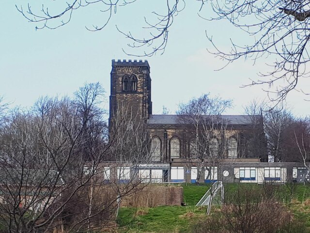
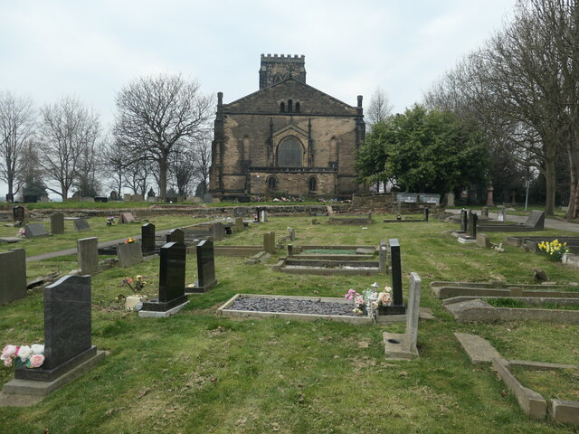
Despite its small size, Brag Lane End has a rich history that can be explored through its historic buildings and landmarks. The village church, dating back to the 13th century, stands as a testament to the area's long-standing heritage.
Overall, Brag Lane End is a hidden gem within the Yorkshire Dales, offering a serene and peaceful retreat for those seeking an escape from the hustle and bustle of modern life. Its natural beauty, strong community spirit, and historical charm make it a truly special place to visit.
If you have any feedback on the listing, please let us know in the comments section below.
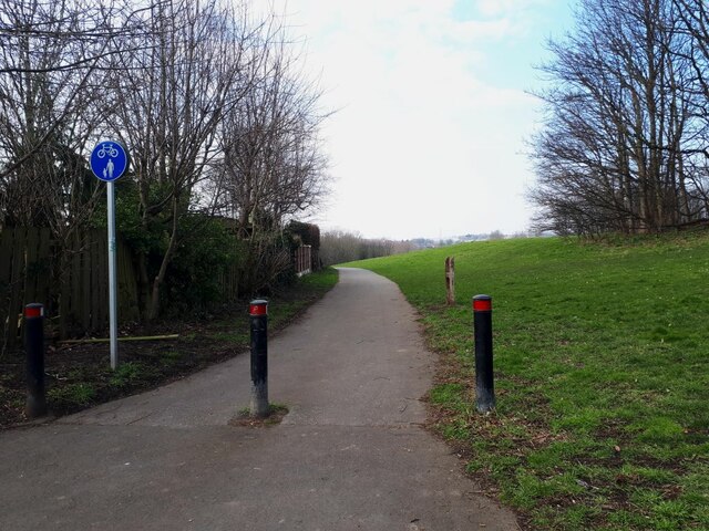
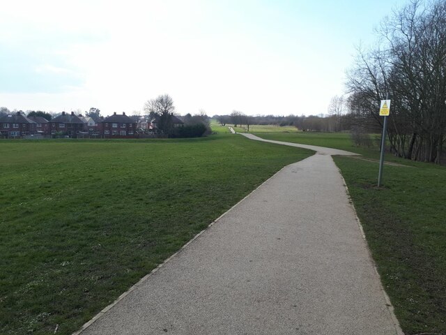
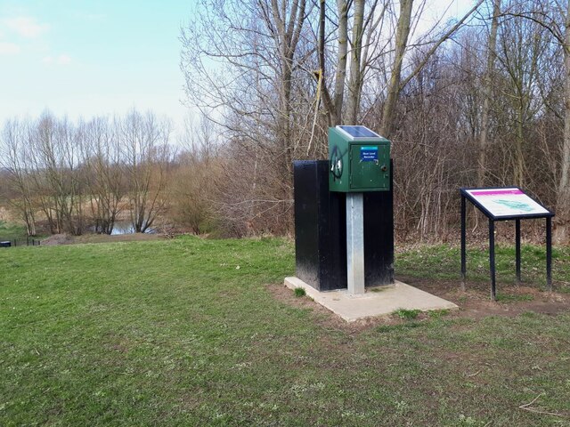
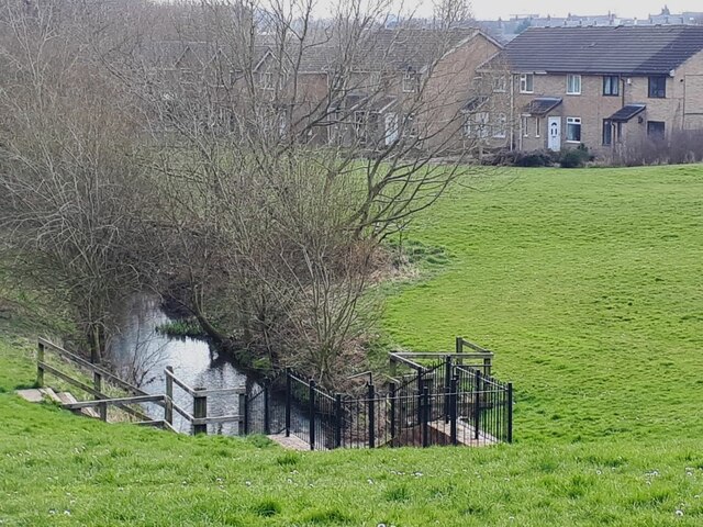
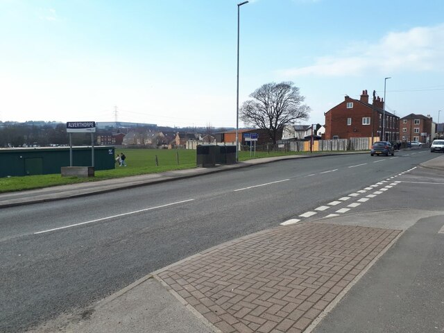
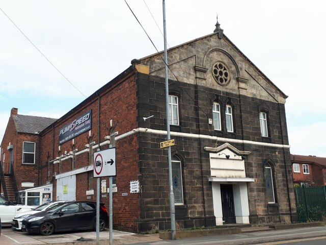
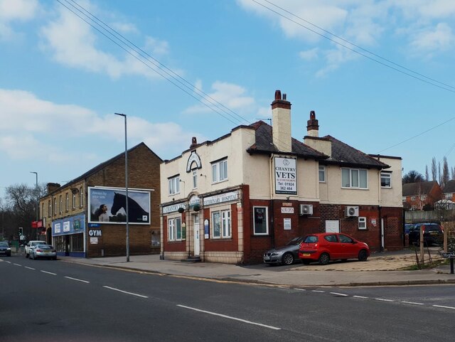
Brag Lane End Images
Images are sourced within 2km of 53.705001/-1.524451 or Grid Reference SE3123. Thanks to Geograph Open Source API. All images are credited.
![Commonwealth war grave in Alverthorpe churchyard [4] The inscription reads &#039;2363 Private / W. Murray / King&#039;s Own Yorkshire L. I. /1st April 1920&#039;.](https://s2.geograph.org.uk/geophotos/07/13/17/7131714_819268d1.jpg)
![Commonwealth war grave in Alverthorpe churchyard [5] The inscription reads &#039;2203694 Aircraftman 2nd Cl. / J. Crane / Royal Air Force / 14th January 1943 Age 42 / In loving memory / of one who did his duty well / a loving husband and father / ever remembered&#039;.](https://s2.geograph.org.uk/geophotos/07/13/17/7131722_cbb96602.jpg)
![Commonwealth war grave in Alverthorpe churchyard [6] The inscription reads &#039;1595185 Sergeant / A. Harnell / Air Gunner / Royal Air Force / 10th April 1944 Age 19 / In loving memory of our dear son Albert / killed in an air crash / in our memory always&#039;.](https://s0.geograph.org.uk/geophotos/07/13/17/7131724_fd63829e.jpg)
![Commonwealth war grave in Alverthorpe churchyard [7] The inscription reads &#039;12059 Gunner / D. Bedford / Royal Field Artillery / 1st September 1918 Age 33 / Thy will be done&#039;.](https://s2.geograph.org.uk/geophotos/07/13/17/7131730_c67056ce.jpg)
![Commonwealth war grave in Alverthorpe churchyard [8] The inscription reads &#039; 1633264 Ldg. Aircraftman / E. Archer / Royal Air Force / 10th July 1944 Age 23 / Deep in our heart / is a memory kept / of one we loved / and will never forget&#039;.](https://s1.geograph.org.uk/geophotos/07/13/17/7131737_bb3b30e9.jpg)
Brag Lane End is located at Grid Ref: SE3123 (Lat: 53.705001, Lng: -1.524451)
Division: West Riding
Unitary Authority: Wakefield
Police Authority: West Yorkshire
What 3 Words
///shelf.loss.union. Near Wakefield, West Yorkshire
Nearby Locations
Related Wikis

Wrenthorpe
Wrenthorpe is a village north-west of Wakefield, in West Yorkshire, England. It is located in the Rhubarb Triangle. == History == Although earlier remains...

Outwood Grange Academy
Outwood Grange Academy is a secondary school and sixth form with academy status in Outwood, near Wakefield, England. It has a mixed intake of both boys...

Outwood Grange Academies Trust
Outwood Grange Academies Trust (OGAT) is a multi-academy trust (MAT) that operates forty schools (twenty-eight secondary and twelve primary) across northern...
West Ardsley
West Ardsley is a settlement on the south-west edge of the City of Leeds metropolitan borough. Historically part of the West Riding of Yorkshire, it roughly...

Brandy Carr
Brandy Carr is a hamlet in the City of Wakefield in West Yorkshire, England, north of the eponymous Brandy Carr Hill and between Balne Beck in the west...
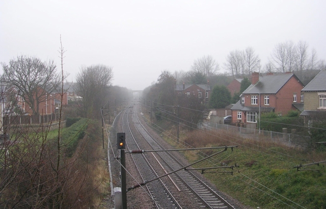
Lofthouse and Outwood railway station
Lofthouse and Outwood railway station served the Outwood area of Wakefield, West Yorkshire, England. It was opened by the Methley Joint Railway in 1869...
Lawns, West Yorkshire
Lawns is a district of Wakefield in West Yorkshire, England. Neighbouring settlements are Carr Gate in the south, Outwood in the east, and East Ardsley...
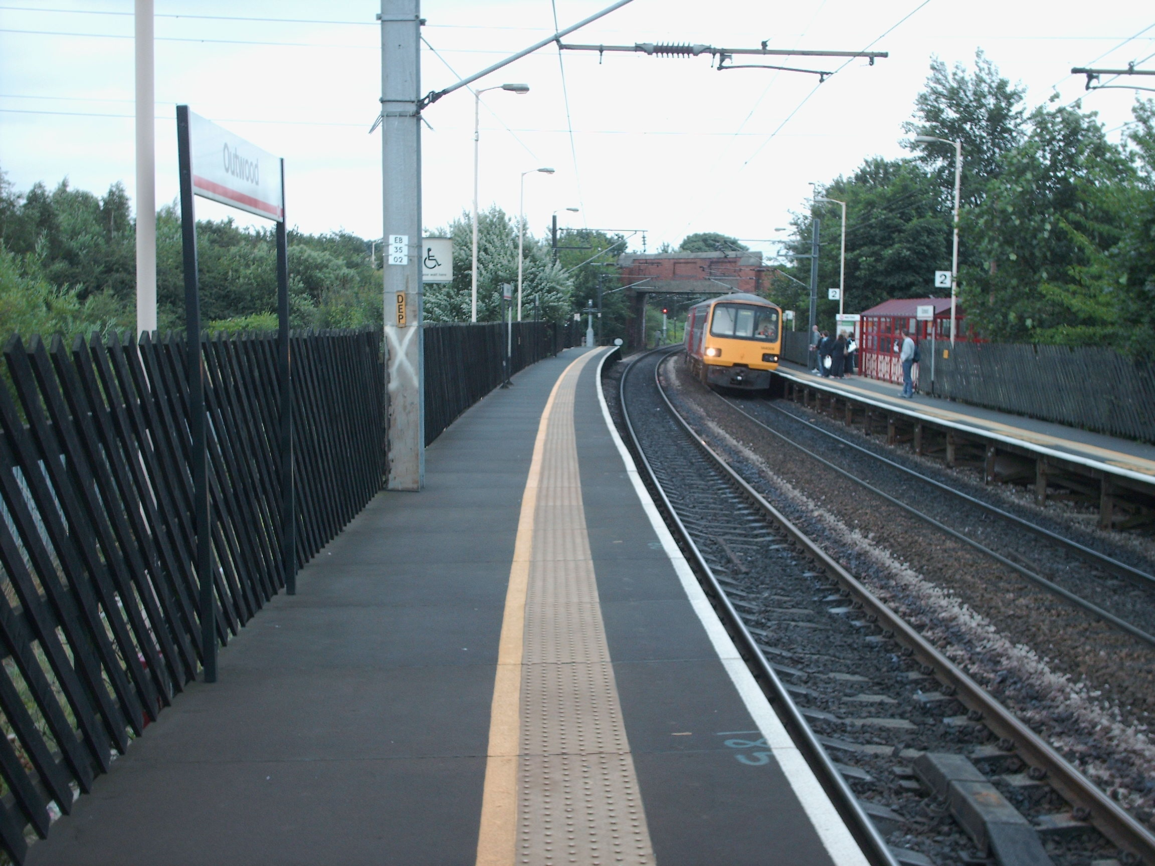
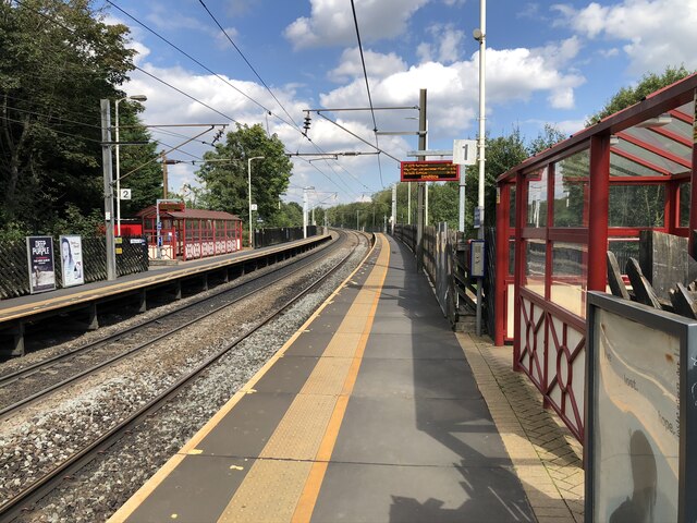
Outwood railway station
Outwood railway station is situated in the Outwood district of Wakefield in West Yorkshire, England. Outwood is the first stop on the Wakefield Line 7...
Related Videos
lofthouse colliery and nature park
lovely place to walk and let the kids run wild.
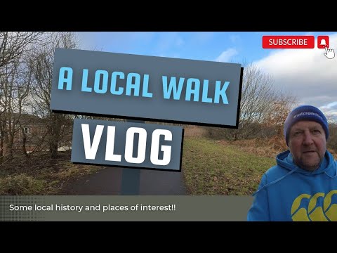
A local walk
Come and join me on a local walk round Lofthouse and Robin Hood Check out some interesting places and local businesses ...
Nearby Amenities
Located within 500m of 53.705001,-1.524451Have you been to Brag Lane End?
Leave your review of Brag Lane End below (or comments, questions and feedback).