Quarry Hill
Hill, Mountain in Yorkshire
England
Quarry Hill
Quarry Hill is a prominent hill located in Yorkshire, England. It is part of the larger Pennine range and is situated in the southern region of the county, overlooking the picturesque town of Ilkley. Standing at an elevation of approximately 256 meters (840 feet), it offers breathtaking panoramic views of the surrounding countryside.
The hill takes its name from the historic quarry that operated in the area during the 19th century. Quarry Hill is known for its rugged terrain, characterized by steep slopes and rocky outcrops. It is a popular destination for hikers, nature enthusiasts, and outdoor adventurers alike.
The hill is home to a diverse range of flora and fauna, including heather, bilberry bushes, and a variety of bird species. Its unique geology also attracts geologists and rock climbers, who come to explore the exposed limestone formations and cliffs.
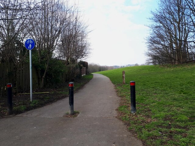
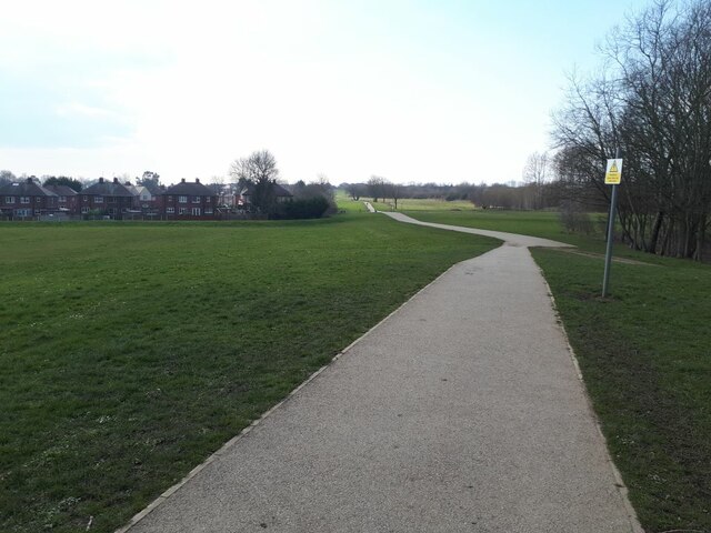
Quarry Hill is easily accessible, with several well-marked trails leading to its summit. The most popular route starts from Ilkley and winds its way up through woodlands and fields, offering glimpses of the nearby River Wharfe along the way. At the top, visitors are rewarded with stunning views of the surrounding countryside, including the nearby Ilkley Moor.
For those seeking a more challenging adventure, Quarry Hill is also a starting point for longer hikes that connect to the wider Pennine Way, a famous long-distance trail that spans across northern England.
Overall, Quarry Hill in Yorkshire is a natural gem, offering a wonderful blend of natural beauty, rugged landscapes, and outdoor activities for visitors to enjoy.
If you have any feedback on the listing, please let us know in the comments section below.
Quarry Hill Images
Images are sourced within 2km of 53.70581/-1.5301884 or Grid Reference SE3123. Thanks to Geograph Open Source API. All images are credited.
![Commonwealth war grave in Alverthorpe churchyard [4] The inscription reads &#039;2363 Private / W. Murray / King&#039;s Own Yorkshire L. I. /1st April 1920&#039;.](https://s2.geograph.org.uk/geophotos/07/13/17/7131714_819268d1.jpg)
![Commonwealth war grave in Alverthorpe churchyard [5] The inscription reads &#039;2203694 Aircraftman 2nd Cl. / J. Crane / Royal Air Force / 14th January 1943 Age 42 / In loving memory / of one who did his duty well / a loving husband and father / ever remembered&#039;.](https://s2.geograph.org.uk/geophotos/07/13/17/7131722_cbb96602.jpg)
![Commonwealth war grave in Alverthorpe churchyard [6] The inscription reads &#039;1595185 Sergeant / A. Harnell / Air Gunner / Royal Air Force / 10th April 1944 Age 19 / In loving memory of our dear son Albert / killed in an air crash / in our memory always&#039;.](https://s0.geograph.org.uk/geophotos/07/13/17/7131724_fd63829e.jpg)
![Commonwealth war grave in Alverthorpe churchyard [7] The inscription reads &#039;12059 Gunner / D. Bedford / Royal Field Artillery / 1st September 1918 Age 33 / Thy will be done&#039;.](https://s2.geograph.org.uk/geophotos/07/13/17/7131730_c67056ce.jpg)
![Commonwealth war grave in Alverthorpe churchyard [8] The inscription reads &#039; 1633264 Ldg. Aircraftman / E. Archer / Royal Air Force / 10th July 1944 Age 23 / Deep in our heart / is a memory kept / of one we loved / and will never forget&#039;.](https://s1.geograph.org.uk/geophotos/07/13/17/7131737_bb3b30e9.jpg)
![Commonwealth war grave in Alverthorpe churchyard [9] The inscription reads &#039;631565 Aircraftman 1st Cl. / D. Lilley / Wireless operator Air gunner / Royal Air Force / 1st May 1940 Age 19 / He gave his life / that we may live / Treasured memories / of a dear son&#039;.](https://s3.geograph.org.uk/geophotos/07/13/17/7131743_379440dc.jpg)
![Commonwealth war grave in Alverthorpe churchyard [10] The inscription reads &#039;4582 Private / W. Burnley / King&#039;s Own Yorkshire L.I. / 9th June 1915 Age 27 / R.I.P.&#039;](https://s3.geograph.org.uk/geophotos/07/13/17/7131747_20aef310.jpg)


Quarry Hill is located at Grid Ref: SE3123 (Lat: 53.70581, Lng: -1.5301884)
Division: West Riding
Unitary Authority: Wakefield
Police Authority: West Yorkshire
What 3 Words
///slot.grit.ducks. Near Wakefield, West Yorkshire
Nearby Locations
Related Wikis
Carr Gate
Carr Gate is a village in the Wakefield district, in the county of West Yorkshire, England. The village stands to the north-west of Wakefield, and south...

Brandy Carr
Brandy Carr is a hamlet in the City of Wakefield in West Yorkshire, England, north of the eponymous Brandy Carr Hill and between Balne Beck in the west...

Wrenthorpe
Wrenthorpe is a village north-west of Wakefield, in West Yorkshire, England. It is located in the Rhubarb Triangle. == History == Although earlier remains...
West Ardsley
West Ardsley is a settlement on the south-west edge of the City of Leeds metropolitan borough. Historically part of the West Riding of Yorkshire, it roughly...
Related Videos
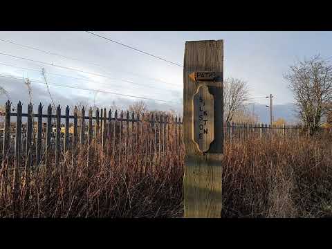
A local walk
Come and join me on a local walk round Lofthouse and Robin Hood Check out some interesting places and local businesses ...
lofthouse colliery and nature park
lovely place to walk and let the kids run wild.

Biker Convoy Escorts Funeral Procession
Almost 100 bikers escort a funeral procession in Lofthouse near Wakefield. The bikers gathered to pay their respects to a fellow ...
Nearby Amenities
Located within 500m of 53.70581,-1.5301884Have you been to Quarry Hill?
Leave your review of Quarry Hill below (or comments, questions and feedback).