Bragbury End

Settlement in Hertfordshire Stevenage

England

Bragbury End

Harwood Park Crematorium. I took this photograph just before attending a funeral here.  Note the blue sky.  Within 20 minutes the sky was black, it started thundering and hailing - just as the congregation started on "morning has broken".  Just like a scene from "The Exorsist or The Omen.
Harwood Park Crematorium. Credit: Robin Hall

Bragbury End is a small village located in Hertfordshire, England. Situated approximately three miles northeast of the town of Stevenage, it is nestled in the picturesque countryside of the county. The village is part of the civil parish of Datchworth, and it falls within the East Hertfordshire district.

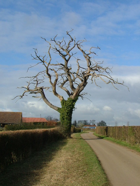
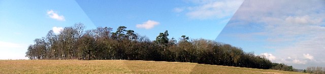
Known for its rural charm, Bragbury End boasts an idyllic setting with rolling hills, lush green fields, and scenic woodland areas. The village is home to a close-knit community, and its population is estimated to be around 300 residents. The village primarily consists of quaint cottages and traditional country houses, adding to its distinct character.

Although small in size, Bragbury End offers a range of amenities to its residents. These include a local pub, which serves as a social hub for the community, as well as a village hall where various community events and activities take place. The village is also surrounded by numerous walking trails and footpaths, making it an attractive destination for outdoor enthusiasts.

Bragbury End's location provides easy access to nearby towns and cities, with Stevenage offering a wide range of shopping, dining, and entertainment options just a short drive away. The village is well-connected by road, with the A1(M) motorway providing convenient links to London and other major cities.

Overall, Bragbury End offers a peaceful and charming countryside retreat, making it an ideal place for those seeking a tranquil and close-knit community in the beautiful county of Hertfordshire.

If you have any feedback on the listing, please let us know in the comments section below.
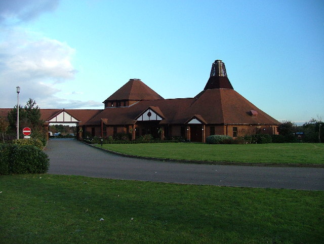
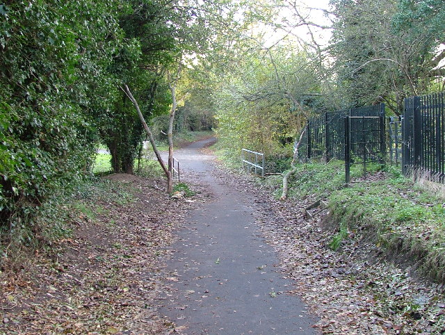
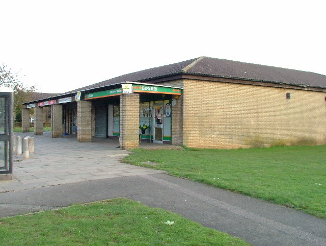
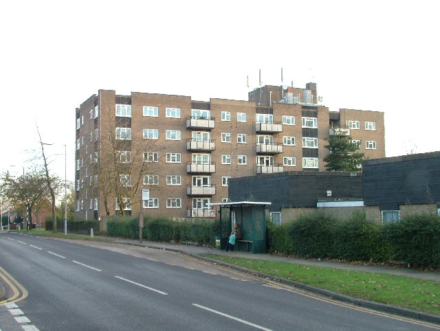
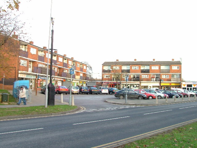
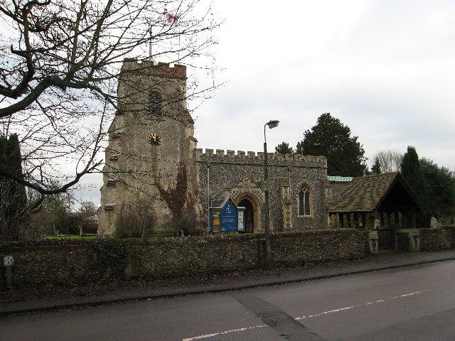
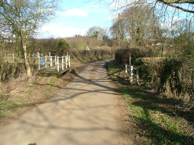
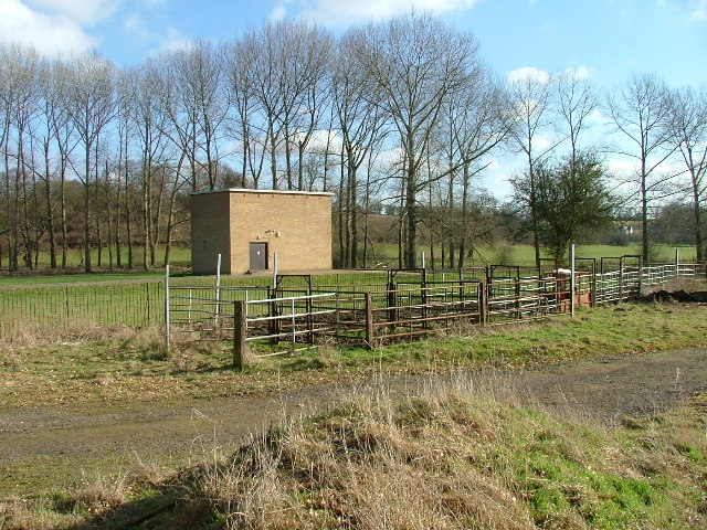
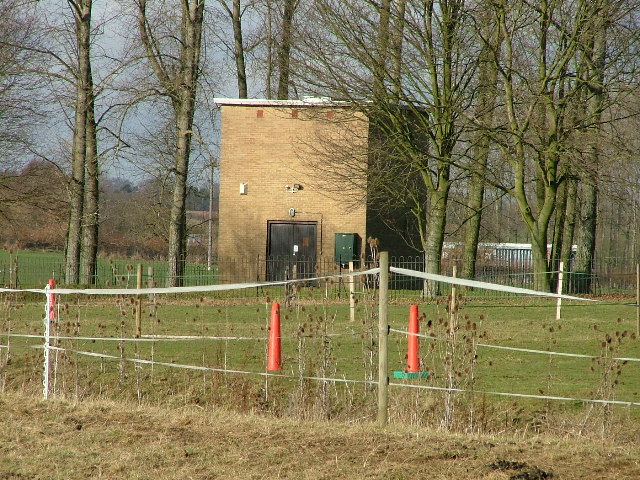
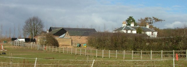
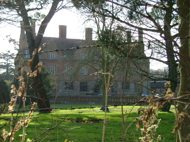
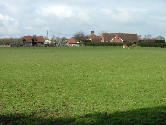
Bragbury End Images

Images are sourced within 2km of 51.874344/-0.154423 or Grid Reference TL2721. Thanks to Geograph Open Source API. All images are credited.

Harwood Park Crematorium. I took this photograph just before attending a funeral here.  Note the blue sky.  Within 20 minutes the sky was black, it started thundering and hailing - just as the congregation started on "morning has broken".  Just like a scene from "The Exorsist or The Omen.
Harwood Park Crematorium.
I took this photograph just before attending a funeral here. Note the blue sky. Within 20 minutes the sky was black, it started thundering and hailing - just as the congregation started on "morning has broken". Just like a scene from "The Exorsist or The Omen.
Ridlins Athletics Track This photo of the Ridlins Athletics track shows the west corner and the Bert Hill stand.  The back of the stand has space for community groups such as playgroups.
Ridlins Athletics Track
This photo of the Ridlins Athletics track shows the west corner and the Bert Hill stand. The back of the stand has space for community groups such as playgroups.
Football pitches These are to the north west of the running track.
Football pitches
These are to the north west of the running track.
Footbridge over Stevenage Brook. This footpath runs parallel to and within 30 yards of the main Stevenage - Hertford Road.
Footbridge over Stevenage Brook.
This footpath runs parallel to and within 30 yards of the main Stevenage - Hertford Road.
Shops in Kenilworth Close. Supermarket, newsagent, Chinese takeaway and alternative therapist.
Shops in Kenilworth Close.
Supermarket, newsagent, Chinese takeaway and alternative therapist.
Flats on Broadwater Avenue Most housing in this area consists of two storey houses but there are a number of blocks of flats like this.
Flats on Broadwater Avenue
Most housing in this area consists of two storey houses but there are a number of blocks of flats like this.
Broadwater Avenue shops Very busy local shops in the same style as several other Stevenage neighbourhood centres.
Broadwater Avenue shops
Very busy local shops in the same style as several other Stevenage neighbourhood centres.
Longmeadow Evangelical Church Many of Stevenage's churche seem to thrive and this is one of them.
Longmeadow Evangelical Church
Many of Stevenage's churche seem to thrive and this is one of them.
St Mary's Church, Aston The church is built of flint with stone dressings on the nave and chancel and the roofs are covered with copper.
St Mary's Church, Aston
The church is built of flint with stone dressings on the nave and chancel and the roofs are covered with copper.
Footbridge and Ford over River Beane. "River" is a bit of a grand description for what is little more than a trickle at this point (although other images for this square and the one to the north suggest that it can get pretty wet down here).
Footbridge and Ford over River Beane.
"River" is a bit of a grand description for what is little more than a trickle at this point (although other images for this square and the one to the north suggest that it can get pretty wet down here).
Pumping house and cattle crush at Ford across River Beane. One of a pair of similar pumping houses on the River Beane.
Pumping house and cattle crush at Ford across River Beane.
One of a pair of similar pumping houses on the River Beane.
Pumping station on River Beane. For some reason this trickle known as the River (river?) Beane has a cluster of pumping stations near this spot.  The neighbour is Whitehall Pumping Station Number 1.  So this must be number 2 then.
Pumping station on River Beane.
For some reason this trickle known as the River (river?) Beane has a cluster of pumping stations near this spot. The neighbour is Whitehall Pumping Station Number 1. So this must be number 2 then.
White Hall Farm Taken on a lovely sunny day.  Other days are also available.
White Hall Farm
Taken on a lovely sunny day. Other days are also available.
Aston Bury. The best shot that I could manage without trespassing.
Aston Bury.
The best shot that I could manage without trespassing.
Astonbury Bury Farm Across the fields from Aston Bury.
Astonbury Bury Farm
Across the fields from Aston Bury.
Dead roadside tree.
Dead roadside tree.
Aston war memorial. Next door to the church.
Aston war memorial.
Next door to the church.
Pallett's Wood. A stitched together panorama.  The sky didn't really look exactly like that.
Pallett's Wood.
A stitched together panorama. The sky didn't really look exactly like that.
Show me another place!

Bragbury End is located at Grid Ref: TL2721 (Lat: 51.874344, Lng: -0.154423)

Administrative County: Hertfordshire

District: Stevenage

Police Authority: Hertfordshire

What 3 Words

///bars.exist.hope. Near Knebworth, Hertfordshire

Related Wikis

A602 road

The A602 is a road linking Hitchin in Hertfordshire, England, with A10 at Ware in Hertfordshire, via Stevenage. The course of the road has changed significantly...

Aston Bury

Aston Bury is a manor house near Aston, Hertfordshire, England. It is Grade I listed building.It was built in the mid 17th century, possibly by the Boteler...

Bragbury End

Bragbury End is a hamlet in Hertfordshire, England, and the location of Stevenage F.C.'s training ground.

Stevenage (UK Parliament constituency)

Stevenage is a constituency in Hertfordshire represented in the House of Commons of the UK Parliament since 2010 by Stephen McPartland, a member of the...

Ridlins Mire

Ridlins Mire is a 1.6-hectare (4.0-acre) nature reserve managed by the Herts and Middlesex Wildlife Trust in Stevenage, Hertfordshire, England.This wetland...

Aston, Hertfordshire

Aston is a village and civil parish in the East Hertfordshire district of Hertfordshire, England. According to the 2001 census it had a population of...

Datchworth

Datchworth is a village and civil parish between the towns of Hertford, Stevenage and Welwyn Garden City in the county of Hertfordshire, England. Sited...

Marx Memorial Library

The Marx Memorial Library in London, United Kingdom is a library, archive, educational, and community outreach charity focused on Marxist and wider socialist...

Nearby Amenities

Located within 500m of 51.874344,-0.154423
Bus Stop
Stirling Close
Bench: yes
Bin: yes
Lit: yes
Naptan AtcoCode: 210021201180
Naptan Bearing: S
Naptan CommonName: Stirling Close
Naptan Crossing: opp Stirling Close
Naptan Indicator: opp
Naptan Landmark: opp Stirling Close
Naptan NaptanCode: hrtgadmp
Naptan PlusbusZoneRef: STEVNGE
Naptan ShortCommonName: NA
Naptan Street: Blenheim Way
Naptan Verified: no
Shelter: yes
Source: naptan_import
Tactile Paving: yes
Lat/Long: 51.8741932/-0.1610858
Pub
The Chequers
Brand: Vintage Inns
Brand Wikidata: Q87067899
Contact Website: https://www.vintageinn.co.uk/restaurants/east/thechequersstevenage
Wikidata: Q26394354
Lat/Long: 51.8737514/-0.1575939
Crossing
Crossing: unmarked
Crossing Island: no
Kerb: lowered
Tactile Paving: yes
Lat/Long: 51.8749635/-0.1594808
Bus Stop
The Chequers PH
Bench: no
Bin: no
Lit: yes
Naptan AtcoCode: 210021201285
Naptan Bearing: SE
Naptan CommonName: The Chequers PH
Naptan Crossing: Aston Lane
Naptan Indicator: opp
Naptan Landmark: Aston Lane
Naptan NaptanCode: hrtgadpj
Naptan PlusbusZoneRef: STEVNGE
Naptan ShortCommonName: NA
Naptan Street: A602
Naptan Verified: no
Shelter: no
Source: naptan_import
Tactile Paving: no
Lat/Long: 51.8746224/-0.1584396
Bus Stop
The Chequers PH
Bench: no
Bin: no
Lit: yes
Naptan AtcoCode: 210021203425
Naptan Bearing: W
Naptan CommonName: The Chequers PH
Naptan Crossing: Bragbury Lane
Naptan Indicator: adj
Naptan Landmark: Bragbury Lane
Naptan NaptanCode: hrtdwjtw
Naptan PlusbusZoneRef: STEVNGE
Naptan ShortCommonName: NA
Naptan Street: A602
Naptan Verified: no
Shelter: no
Source: naptan_import
Tactile Paving: no
Lat/Long: 51.8741993/-0.1578322
Post Box
Collection Times: Mo-Fr 17:45; Sa 12:30
Post Box Type: lamp
Ref: SG2 100
Royal Cypher: EIIR
Royal Cypher Wikidata: Q33102113
Lat/Long: 51.8740418/-0.1587725
Power: pole
Lat/Long: 51.8782392/-0.1567077
Power: pole
Lat/Long: 51.8776961/-0.1580515
Line Management: transition
Location Transition: yes
Power: pole
Lat/Long: 51.8722203/-0.1590609
Power: pole
Lat/Long: 51.8719192/-0.1575576
Power: pole
Lat/Long: 51.8712618/-0.154481
Power: pole
Lat/Long: 51.8708611/-0.1525981
Power: pole
Lat/Long: 51.8705464/-0.1510156
Power: pole
Lat/Long: 51.8716754/-0.1563418
Crossing
Crossing: unmarked
Crossing Island: no
Kerb: lowered
Tactile Paving: yes
Lat/Long: 51.8748914/-0.1595731
Note: 30 mph speed limit sign westbound
Lat/Long: 51.8740743/-0.1565753
Traffic Signals
Lat/Long: 51.8757808/-0.1609506
Barrier: entrance
Lat/Long: 51.876592/-0.1523912
Ford: yes
Lat/Long: 51.8756228/-0.1490891
Traffic Signals
Lat/Long: 51.8758363/-0.160819
Waste Basket
Lat/Long: 51.8748367/-0.1595713
Traffic Calming: island
Lat/Long: 51.875703/-0.1611288
Waste Basket
Lat/Long: 51.8734109/-0.1613067
Waste Basket
Lat/Long: 51.8742108/-0.1610801
Material: wood
Power: pole
Lat/Long: 51.8788044/-0.1553498
Power: pole
Lat/Long: 51.8773678/-0.1591414
The data included in this document is from www.openstreetmap.org. The data is made available under ODbL.

Have you been to Bragbury End?

Leave your review of Bragbury End below (or comments, questions and feedback).