Bradwell on Sea
Settlement in Essex Maldon
England
Bradwell on Sea
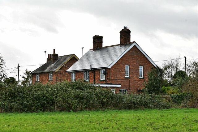
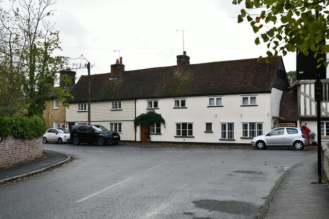
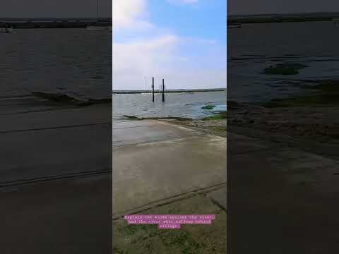
Bradwell on Sea is a small village located in the Dengie peninsula in the county of Essex, England. Situated on the east coast of England, it is bordered by the North Sea to the east and the River Blackwater to the south. With a population of around 900 residents, it is a tranquil and picturesque village.
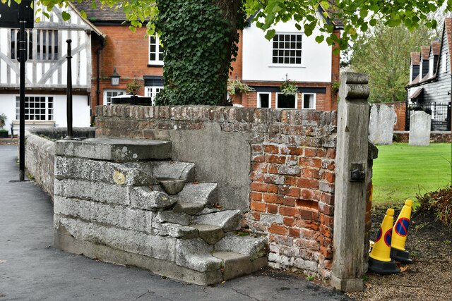
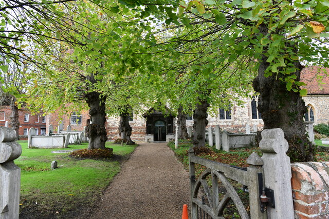
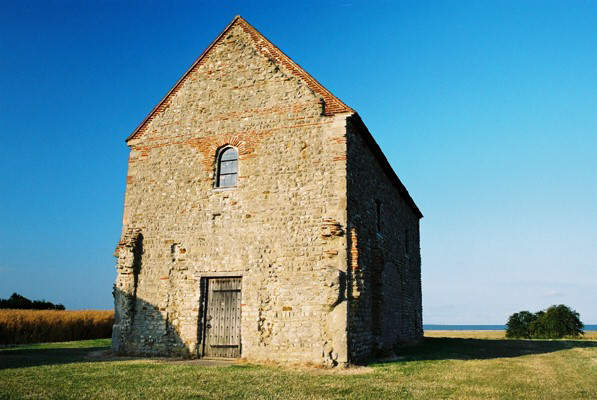
The village is known for its rich history, with evidence of human settlement dating back to the Roman times. The iconic St. Peter-on-the-Wall chapel, a Grade I listed building, stands as a testament to the village's past. Built around 660 AD, it is believed to be the oldest church in England still in use.
Bradwell on Sea is also home to the Bradwell Nuclear Power Station, which has been generating electricity since the 1960s. The power station is a prominent feature of the village, providing employment opportunities for the local community.
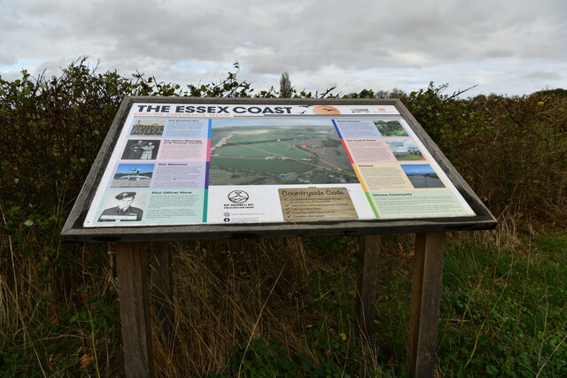
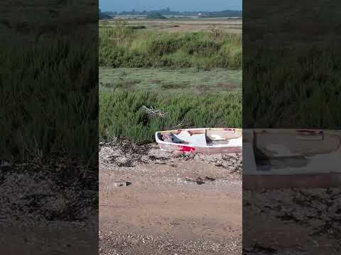
The surrounding area offers stunning natural beauty, with the nearby St. Peter's Flats providing a haven for wildlife and birdwatching enthusiasts. The Dengie peninsula is also a popular destination for walkers and cyclists, with its flat terrain and scenic routes.
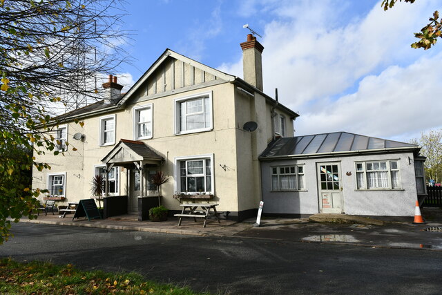
Despite its small size, Bradwell on Sea boasts a strong sense of community spirit. The village has a primary school, a village hall, and a local pub that serves as a meeting point for residents.
In conclusion, Bradwell on Sea is a charming village with a rich history, beautiful natural surroundings, and a close-knit community. It offers a peaceful and idyllic escape from the hustle and bustle of city life.
If you have any feedback on the listing, please let us know in the comments section below.
Bradwell on Sea Images
Images are sourced within 2km of 51.72535/0.903065 or Grid Reference TM0006. Thanks to Geograph Open Source API. All images are credited.

Bradwell on Sea is located at Grid Ref: TM0006 (Lat: 51.72535, Lng: 0.903065)
Administrative County: Essex
District: Maldon
Police Authority: Essex
What 3 Words
///actor.compiler.convinced. Near West Mersea, Essex
Nearby Locations
Related Wikis

Bradwell Lodge
Bradwell Lodge is a country house in the village of Bradwell-on-Sea, on the Dengie Peninsula in Essex, England. Originally a Tudor rectory, in the 18th...

Bradwell-on-Sea
Bradwell-on-Sea is a village and civil parish in Essex, England; it is on the Dengie peninsula. It is located 5.6 mi (9.0 km) north-north-east of Southminster...

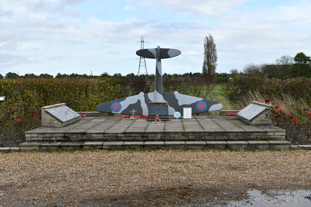
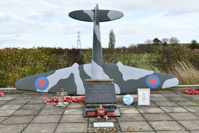
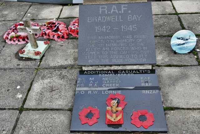
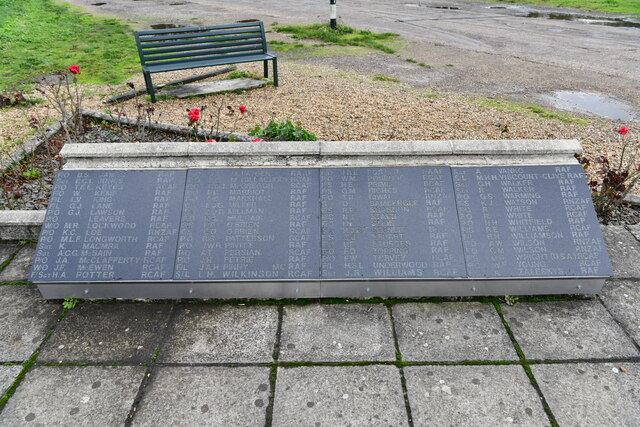
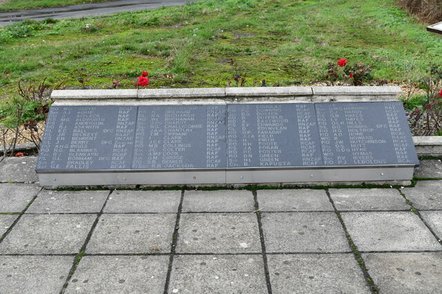
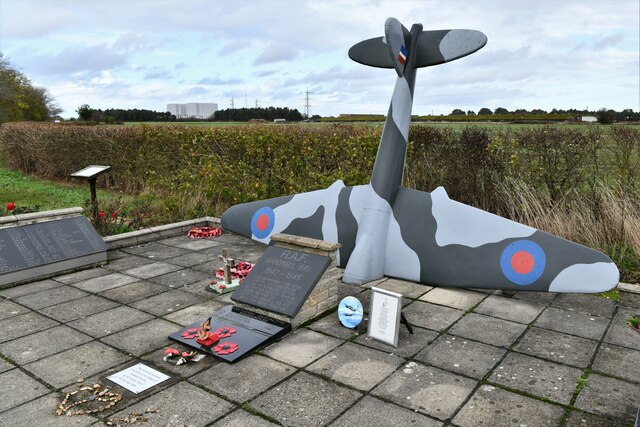
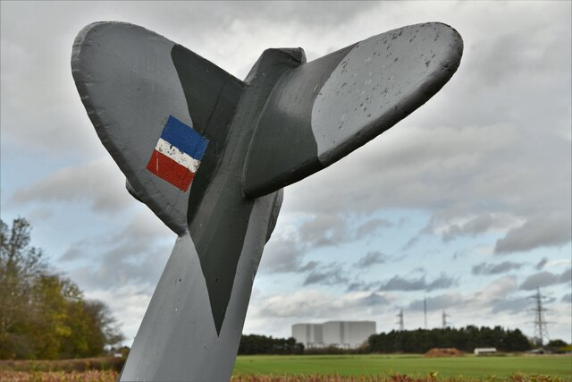
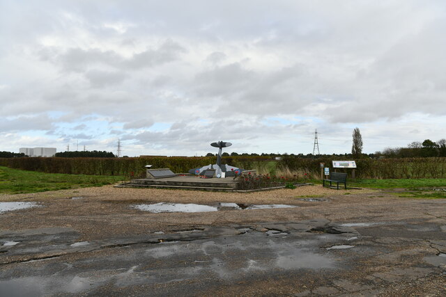
RAF Bradwell Bay
Royal Air Force Bradwell Bay or more simply RAF Bradwell Bay is a former Royal Air Force station located 9.5 miles (15.3 km) east of Maldon, Essex, England...

Bradwell Waterside
Bradwell Waterside is a small hamlet in Essex, England. It is located about 9 km (5.6 mi) north-northeast of Southminster and is 28 km (17 mi) east from...

Pewet Island
Pewet Island (the name is sometimes spelt Pewit) lies on the south side of the estuary of the River Blackwater in the English county of Essex. Pewet Island...
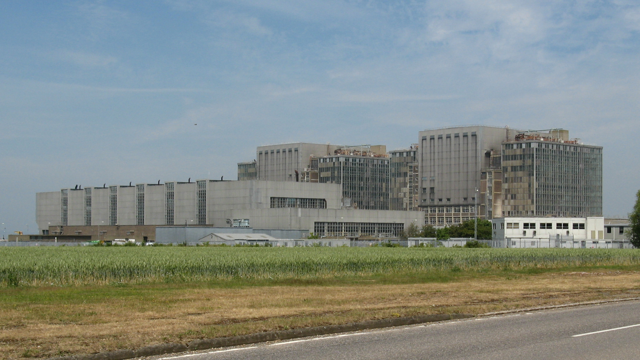
Bradwell nuclear power station
Bradwell nuclear power station is a Magnox-design nuclear power station that is undergoing decommissioning. It is located on the Dengie peninsula at the...
Bradwell B nuclear power station
Bradwell B is a proposed nuclear power station at Bradwell-on-Sea in Essex, put forward by China General Nuclear Power Group (CGN). If constructed, the...
Dengie Peninsula
Dengie (pronounced with a soft 'g') is a peninsula in Essex, England, that once formed a hundred of the same name (sometimes spelled Dengy). The peninsula...
Related Videos


RAF BRADWELL BAY WALK
Please LIKE, COMMENT+ SUBSCRIBE on the journey towards our next huge, extreme walking challenge for Age Concern.
Nearby Amenities
Located within 500m of 51.72535,0.903065Have you been to Bradwell on Sea?
Leave your review of Bradwell on Sea below (or comments, questions and feedback).