Bradwell Hills
Settlement in Derbyshire Derbyshire Dales
England
Bradwell Hills
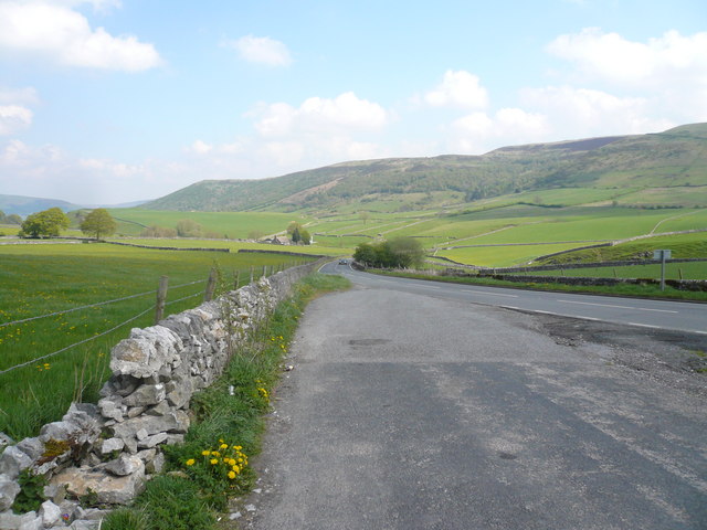
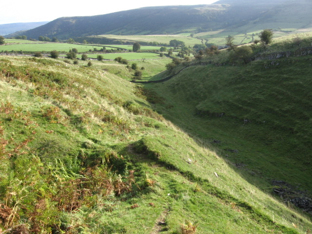
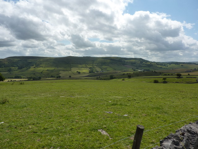
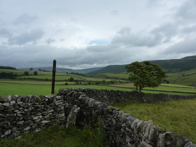
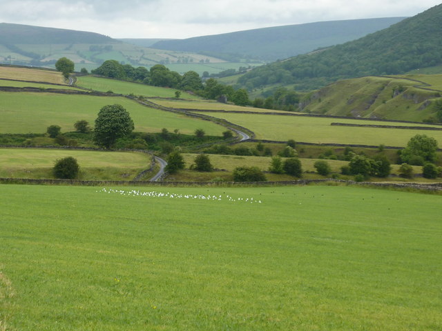
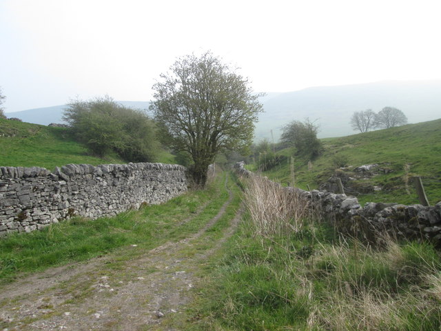
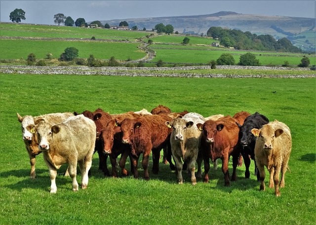
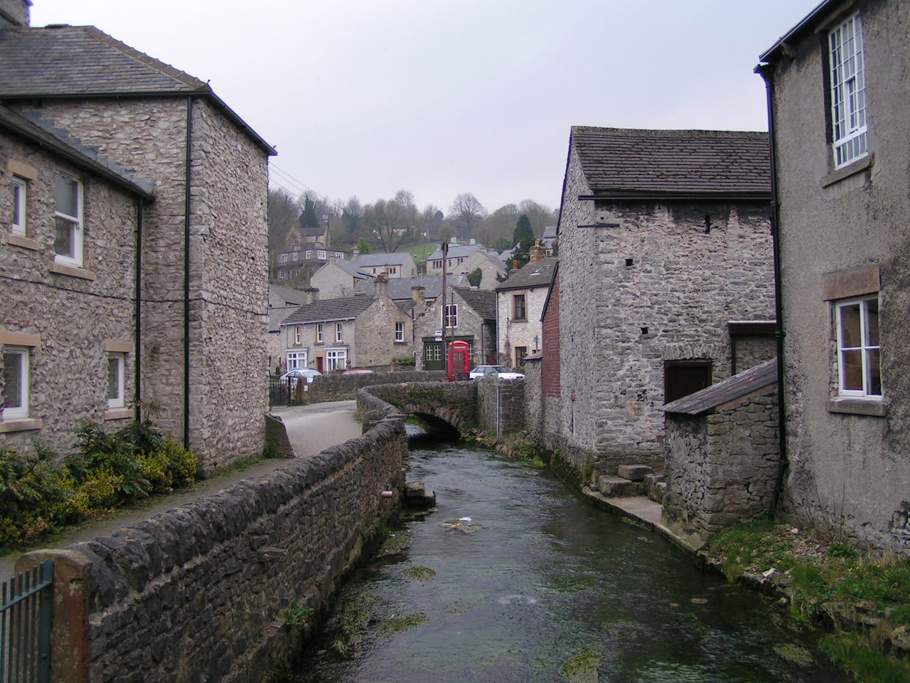
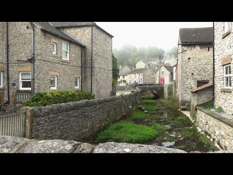
Bradwell Hills is a picturesque village located in the county of Derbyshire, England. Situated within the Peak District National Park, it is known for its stunning natural beauty and tranquil atmosphere. The village is nestled amidst rolling hills and green valleys, providing visitors with breathtaking views of the surrounding countryside.
Bradwell Hills is home to a close-knit community, with a population of around 1,500 residents. The village boasts a rich history, dating back to the Roman times, and retains much of its traditional charm. Its quaint stone cottages and narrow lanes add to its rustic appeal.
The village offers a range of amenities to its residents and visitors. There is a village shop, a post office, and a few local pubs and restaurants serving delicious traditional British fare. The nearby Bradwell Sports Club provides recreational facilities, including tennis courts and a cricket field, for sports enthusiasts.
For outdoor enthusiasts, Bradwell Hills is an ideal destination. The village is surrounded by numerous walking and cycling trails, allowing visitors to explore the stunning countryside at their own pace. The nearby Ladybower Reservoir offers opportunities for fishing, boating, and birdwatching.
Bradwell Hills also holds cultural significance, with the annual Bradwell Carnival being a highlight of the village's calendar. The carnival features a parade, live music, and various entertainment activities, attracting both locals and visitors from afar.
In conclusion, Bradwell Hills is a charming village in Derbyshire, offering a peaceful and idyllic countryside experience. With its natural beauty, rich history, and range of amenities, it is a destination that appeals to both nature lovers and those seeking a tranquil retreat.
If you have any feedback on the listing, please let us know in the comments section below.
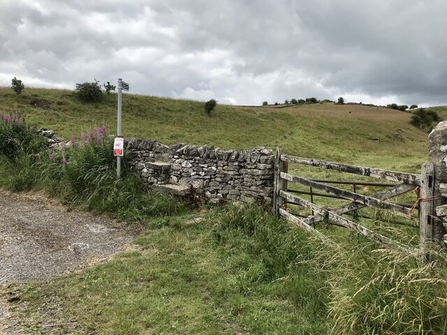
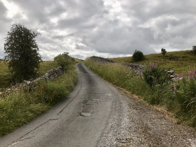
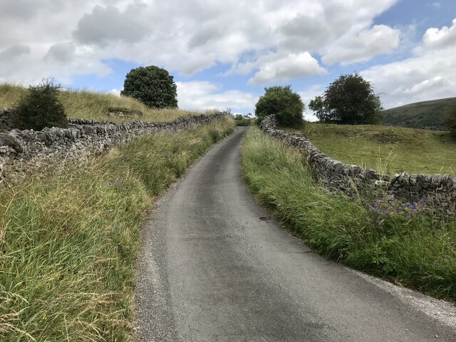
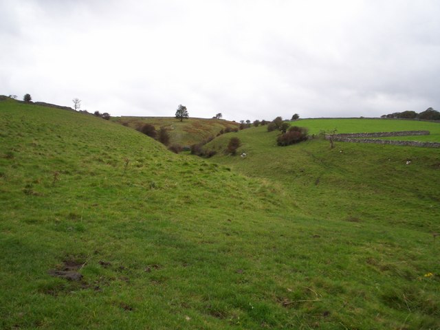
Bradwell Hills Images
Images are sourced within 2km of 53.322026/-1.738747 or Grid Reference SK1780. Thanks to Geograph Open Source API. All images are credited.


Bradwell Hills is located at Grid Ref: SK1780 (Lat: 53.322026, Lng: -1.738747)
Administrative County: Derbyshire
District: Derbyshire Dales
Police Authority: Derbyshire
What 3 Words
///poetry.sniff.glory. Near Hope Valley, Derbyshire
Nearby Locations
Related Wikis

St Barnabas' Church, Bradwell
St Barnabas' Church, Bradwell is a Grade II listedparish church in the Church of England in Bradwell, Derbyshire. == History == The church was designed...
Bradwell, Derbyshire
Bradwell is a village and civil parish in the Derbyshire Peak District of England. The population of the civil parish taken at the 2011 Census was 1,416...

Hazlebadge
Hazlebadge is a civil parish within the Derbyshire Dales district, in the county of Derbyshire, England. Largely rural, Hazlebadge's population is reported...

Deadman's Clough
Deadman's Clough is a stream in the civil parish of Hazlebadge in the Derbyshire Peak District. The stream rises to the south of Bradwell, where it meets...

Bradwell Brook
Bradwell Brook is a stream in the Derbyshire Peak District, originating in Bradwell, in a cave known as Bagshawe Resurgence. == Background == Bradwell...

Grey Ditch
The Grey Ditch, near Bradwell in the Peak District is a linear earthwork of post-Roman date. The dyke is built at right angles to the Batham Gate, a Roman...

Hope Cement Works
Hope Cement Works, is a cement plant located near to the village of Hope in Derbyshire, England. The plant is mostly self-contained with its own shale...
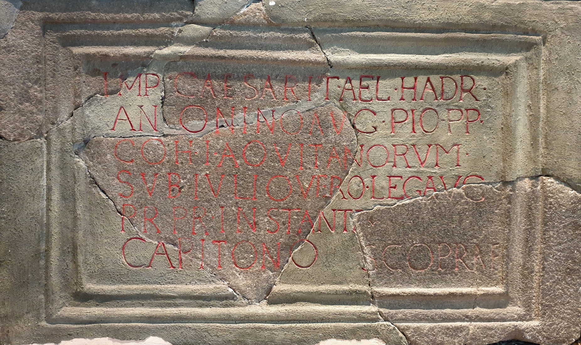
Navio Roman Fort
Navio Roman fort overlooks a tight bend of the River Noe at Brough-on-Noe near Hope, Derbyshire, in England. Navio fort and vicus (civilian settlement...
Related Videos
Bradwell Circular Walk
A wonderful early morning walk from the heart of Bradwell Derbyshire taking in Bradwell Edge and the stunning views before ...

Motorcycle Camping on a Triumph Bonneville T120 in Winter | Nature ASMR | Camping in the rain
Motorcycle camping in Winter on a Triumph Bonneville T120. In this ASMR motovlog you can unwind with the sounds of birds ...
Peak District tranquillity - An impression of my Getaway - Relax with me
As some of you know, I have had a lot on my plate recently. I booked this long weekend away to just get away from it all an breath.
182: Bradwell, Abney and Great Hucklow (Peak District 2022)
PEAK DISTRICT WALK FEATURING BRADWELL, ABNEY AND GREAT HUCKLOW "Bradwell, Abney and Great Hucklow” Filmed ...
Nearby Amenities
Located within 500m of 53.322026,-1.738747Have you been to Bradwell Hills?
Leave your review of Bradwell Hills below (or comments, questions and feedback).