Blackberry Grove

Wood, Forest in Essex Maldon

England

Blackberry Grove
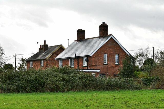
Bradwell Waterside: 'Newboro', 'Tranmere' and 'Seabank'
Bradwell Waterside: 'Newboro', 'Tranmere' and 'Seabank' Credit: Michael Garlick

Blackberry Grove, located in the county of Essex, England, is a charming woodland area nestled within a larger forest. Known for its abundance of blackberry bushes, the grove offers a serene and picturesque setting for nature lovers and outdoor enthusiasts.

Covering an area of approximately 10 acres, Blackberry Grove boasts a diverse range of flora and fauna. The grove is primarily composed of tall, mature trees, including oak, beech, and birch, which provide ample shade and a tranquil atmosphere. The forest floor is carpeted with lush vegetation, including ferns, wildflowers, and of course, blackberry bushes.

Visitors to Blackberry Grove can enjoy a variety of recreational activities. The grove features several well-maintained walking trails, allowing visitors to explore the natural beauty of the area at their own pace. Birdwatchers will also find the grove to be a haven, as it attracts a wide array of species, including woodpeckers, thrushes, and owls.

The grove is not only a haven for wildlife but also a popular spot for picnics and family outings. Its peaceful ambiance and natural beauty make it an ideal location for relaxation and unwinding amidst nature. Additionally, the grove offers opportunities for foraging, with blackberry picking being a favored activity during the fruiting season.

Blackberry Grove is easily accessible, with a well-maintained car park located nearby. The grove is open to the public year-round, and there is no admission fee, making it a popular destination for locals and tourists alike. Whether you're seeking a peaceful stroll through the woods or a family-friendly outing, Blackberry Grove in Essex is a must-visit destination for nature enthusiasts.

If you have any feedback on the listing, please let us know in the comments section below.

Blackberry Grove Images

Images are sourced within 2km of 51.724544/0.90715427 or Grid Reference TM0006. Thanks to Geograph Open Source API. All images are credited.

Bradwell Waterside: 'Newboro', 'Tranmere' and 'Seabank'
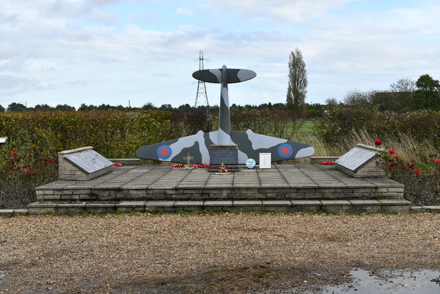
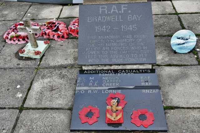
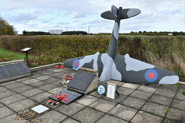
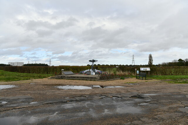
Bradwell Waterside: RAF War Memorial
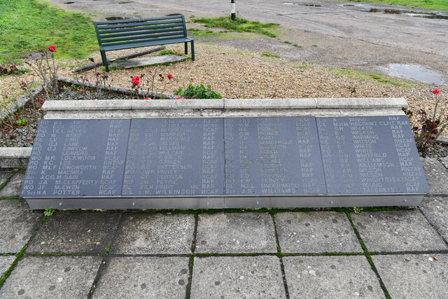
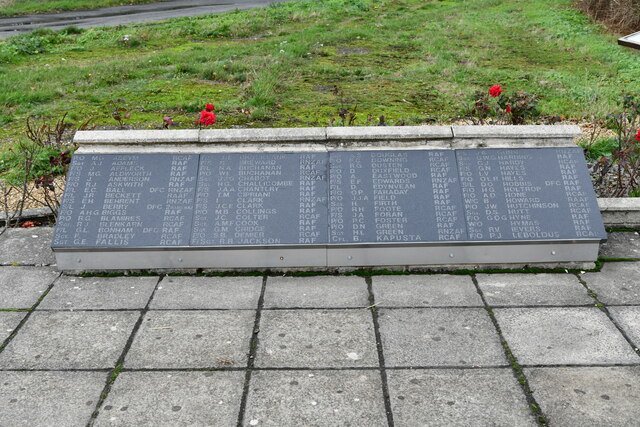
Bradwell Waterside: RAF War Memorial: Some of those remembered 1
Bradwell Waterside: RAF War Memorial: Some of those remembered 2
Bradwell Waterside: RAF War Memorial
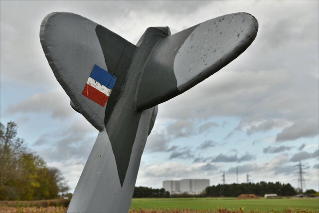
Bradwell Waterside: RAF War Memorial (detail)
Bradwell Waterside: RAF War Memorial
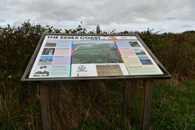
Bradwell Waterside: Detailed Essex Coast information board
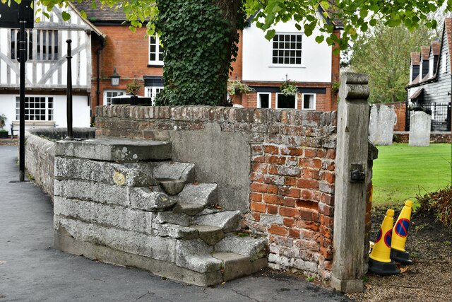
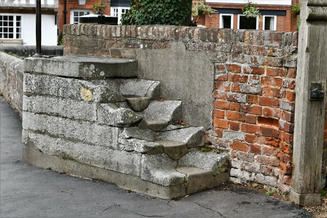
Bradwell on Sea: Pillion stone outside the church
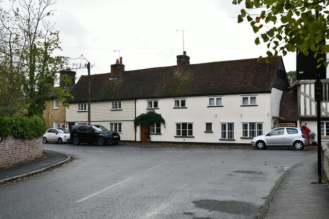
Bradwell on Sea: Row of cottages
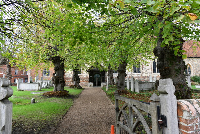
Bradwell on Sea: Entrance to St. Thomas's Church
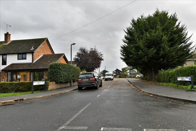
Bradwell on Sea: Bate-Dudley Drive
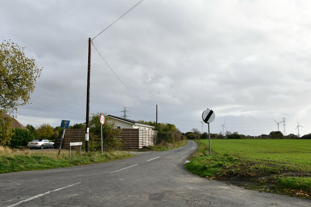
Bradwell on Sea: Hockley Lane
Bradwell on Sea: The Cricketers PH sign
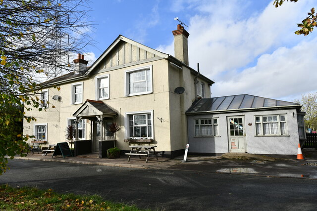
Bradwell on Sea: The Cricketers PH
Show me another place!

Blackberry Grove is located at Grid Ref: TM0006 (Lat: 51.724544, Lng: 0.90715427)

Administrative County: Essex

District: Maldon

Police Authority: Essex

What 3 Words

///fraction.clays.suspended. Near West Mersea, Essex

Related Wikis

Nearby Amenities

Located within 500m of 51.724544,0.90715427
Bradwell on Sea
Alt Name: Bradwell Juxta Mare
Is In: Essex, England, UK
Is In Country: UK
Is In County: Essex
Place: village
Population: 877
Lat/Long: 51.7257063/0.9011743
Bus Stop
Bate-Dudley Drive
Bus: yes
Naptan AtcoCode: 1500BRADEAST
Naptan Bearing: SW
Naptan BusStopType: CUS
Naptan CommonName: Bate-Dudley Drive
Naptan Indicator: SW-bound
Naptan Landmark: Bate-Dudley Drive
Naptan NaptanCode: esxgmdpm
Naptan Street: Eastend Road
Naptan Verified: no
Public Transport: platform
Source: naptan_import
Lat/Long: 51.7263846/0.9065345
Bus Stop
Bate-Dudley Drive
Bus: yes
Naptan AtcoCode: 1500BRADEAYT
Naptan Bearing: NE
Naptan BusStopType: CUS
Naptan CommonName: Bate-Dudley Drive
Naptan Indicator: NE-bound
Naptan Landmark: Bate-Dudley Drive
Naptan NaptanCode: esxgtgda
Naptan Street: Eastend Road
Naptan Verified: no
Public Transport: platform
Source: naptan_import
Lat/Long: 51.7264997/0.9062413
Bus Stop
The Kings Head
Bus: yes
Naptan AtcoCode: 1500IM1495
Naptan Bearing: N
Naptan BusStopType: CUS
Naptan CommonName: The Kings Head
Naptan Crossing: East End Road
Naptan Indicator: o/s
Naptan Landmark: The Kings Head
Naptan NaptanCode: esxawtdg
Naptan Street: South Street
Naptan Verified: no
Public Transport: platform
Source: naptan_import
Lat/Long: 51.7240131/0.9001863
Bus Stop
The Kings Head
Bus: yes
Naptan AtcoCode: 1500IM1495AA
Naptan Bearing: S
Naptan BusStopType: CUS
Naptan CommonName: The Kings Head
Naptan Crossing: East End Road
Naptan Indicator: Opp
Naptan Landmark: The Kings Head
Naptan NaptanCode: esxgwpga
Naptan Street: High Street
Naptan Verified: no
Public Transport: platform
Source: naptan_import
Lat/Long: 51.7244424/0.9000662
Bus Stop
The Kings Head
Bus: yes
Naptan AtcoCode: 1500IM1495B
Naptan Bearing: SW
Naptan BusStopType: CUS
Naptan CommonName: The Kings Head
Naptan Crossing: High Street
Naptan Indicator: Adj
Naptan Landmark: The Kings Head
Naptan NaptanCode: esxjdpjg
Naptan Street: East End Road
Naptan Verified: no
Public Transport: platform
Source: naptan_import
Lat/Long: 51.7241774/0.9005903
Power: tower
Source: Bing
Lat/Long: 51.7250811/0.9136353
Power: tower
Source: Bing
Lat/Long: 51.7282777/0.9102343
Barrier: bollard
Bicycle: yes
Bollard: concrete
Foot: yes
Horse: yes
Material: concrete
Lat/Long: 51.7274198/0.9069751
Entrance: main
Lat/Long: 51.728191/0.9112871
Post Box
Operator: Royal Mail
Operator Wikidata: Q638098
Post Box Mounting: building
Post Box Type: wall
Ref: CM0 323
Lat/Long: 51.7248584/0.9001079
Post Box
Operator: Royal Mail
Operator Wikidata: Q638098
Post Box Mounting: wooden_post
Post Box Type: lamp
Ref: CM0 376
Lat/Long: 51.7281084/0.9109676
The data included in this document is from www.openstreetmap.org. The data is made available under ODbL.

Have you been to Blackberry Grove?

Leave your review of Blackberry Grove below (or comments, questions and feedback).