West End
Settlement in Berkshire
England
West End
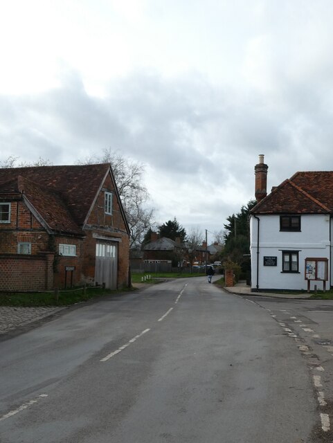
West End is a small village located in the county of Berkshire, England. Situated approximately 5 miles to the southwest of the town of Wokingham, West End is known for its picturesque surroundings and tranquil atmosphere.
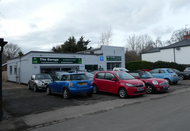
The village is home to a tight-knit community and offers a range of amenities to its residents. These include a local pub, a primary school, a post office, and a convenience store, ensuring that daily needs are easily met within the village itself. For further amenities and services, the nearby town of Wokingham provides a wider range of options.
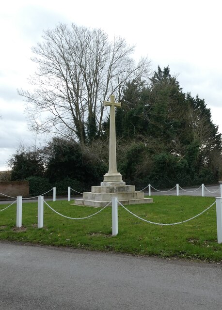
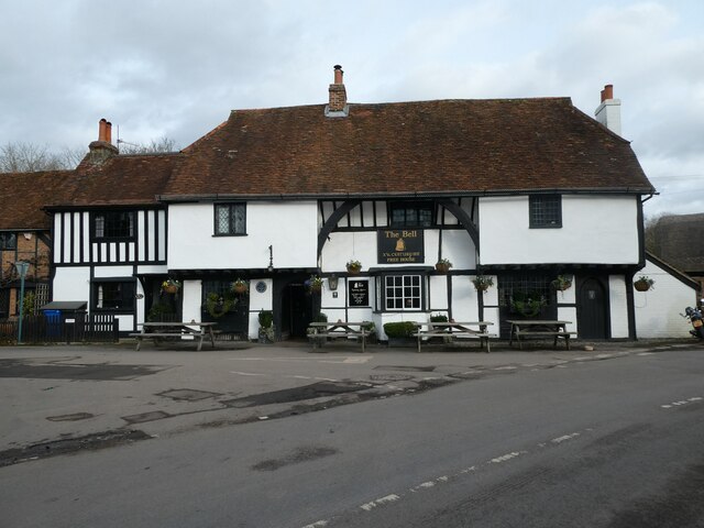
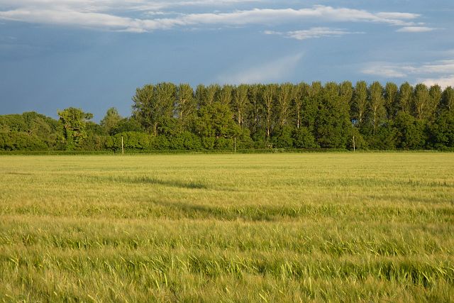
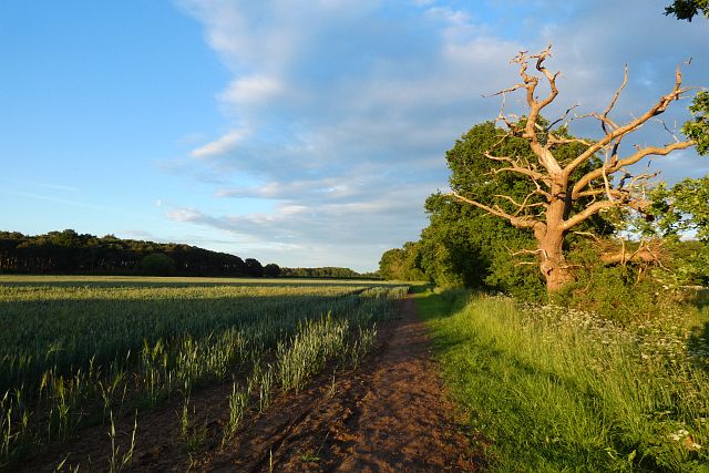
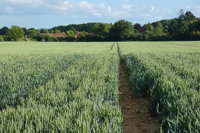
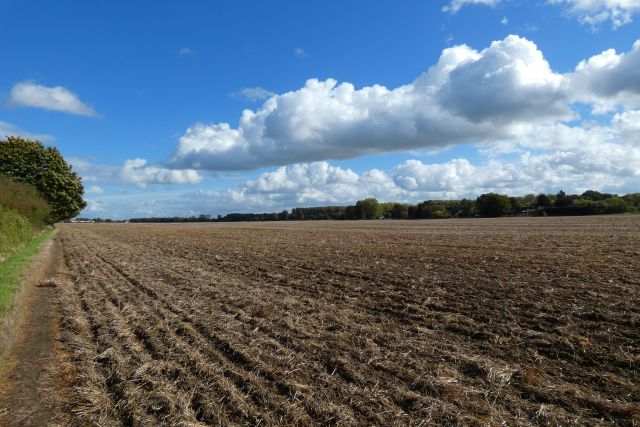
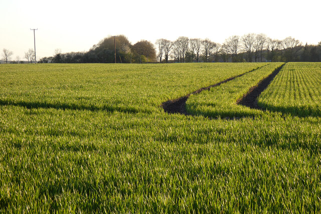
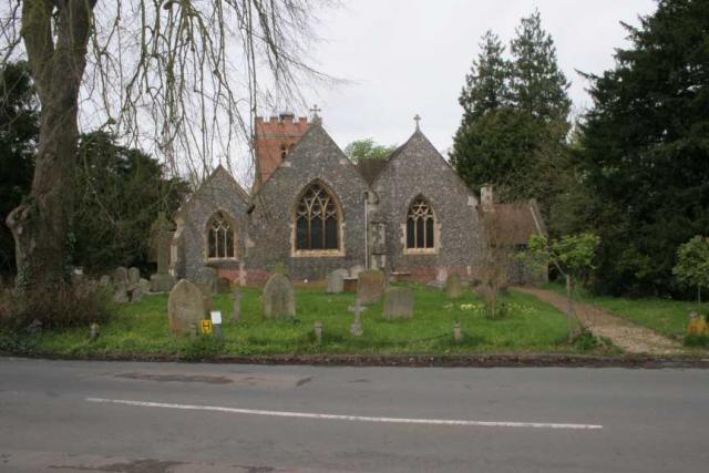
West End boasts a rich history, with some buildings dating back to the 17th century. The village is surrounded by beautiful countryside, making it an ideal location for those who enjoy outdoor activities such as hiking and cycling. The nearby Finchampstead Ridges, a designated Site of Special Scientific Interest, provides stunning views of the surrounding area.
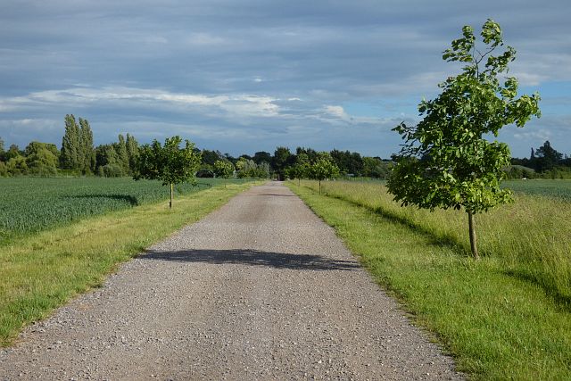
Transportation links are accessible in West End, with regular bus services connecting the village to nearby towns and villages. For those commuting to larger cities, the M4 motorway is easily accessible, providing convenient access to destinations such as London and Reading.
Overall, West End offers a peaceful and idyllic living environment, with its charming village atmosphere and proximity to both countryside and urban amenities. It is an attractive destination for those seeking a quiet retreat while remaining well-connected to surrounding areas.
If you have any feedback on the listing, please let us know in the comments section below.
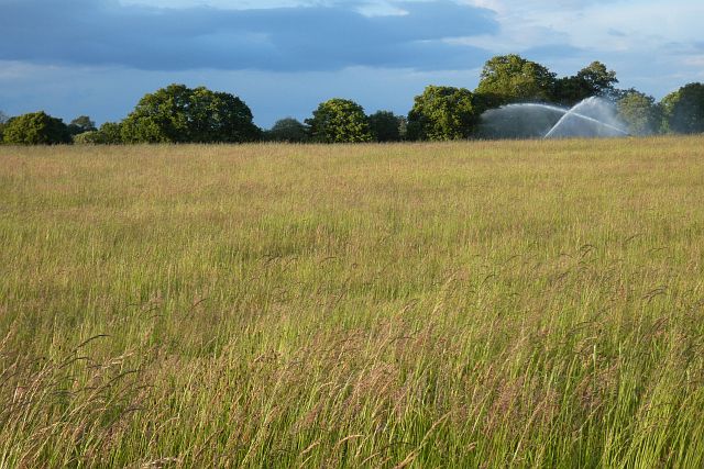
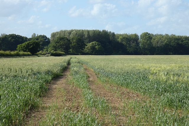
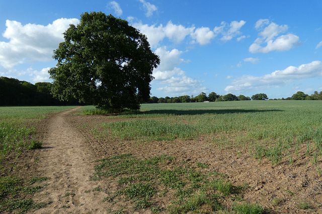
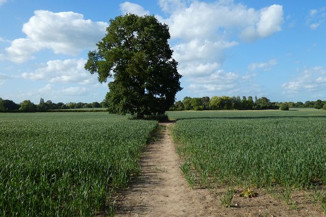
West End Images
Images are sourced within 2km of 51.47337/-0.81832245 or Grid Reference SU8275. Thanks to Geograph Open Source API. All images are credited.
West End is located at Grid Ref: SU8275 (Lat: 51.47337, Lng: -0.81832245)
Unitary Authority: Windsor and Maidenhead
Police Authority: Thames Valley
What 3 Words
///really.blackouts.cashiers. Near Twyford, Berkshire
Nearby Locations
Related Wikis

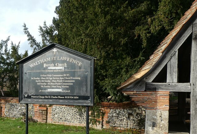
Waltham St Lawrence
Waltham St Lawrence is a village and civil parish in the English county of Berkshire. == Toponymy == The name 'Waltham' is believed to be derived from...

Shurlock Row
Shurlock Row is a village in the Royal Borough of Windsor and Maidenhead in Berkshire, England. It is located in the heart of the Thames Valley, around...
Stanlake Park Wine Estate
Stanlake Park Wine Estate is the largest vineyard in the English county of Berkshire. It is situated near to Twyford, in the parishes of Hurst and Ruscombe...

Ruscombe
Ruscombe is a village and civil parish, east of Twyford in the Borough of Wokingham in Berkshire, England. == History == Reports from the late 1800s provided...

Shottesbrooke Park
Shottesbrooke Park is a Grade II* listed country house and park in Shottesbrooke, Berkshire, England, southwest of Maidenhead. The house is a Tudor mansion...

Shottesbrooke
Shottesbrooke is a hamlet and civil parish administered by the unitary authority of the Royal Borough of Windsor and Maidenhead in the English county...
Hurst, Berkshire
Hurst is a village in the civil parish of St Nicholas Hurst in the English county of Berkshire. == Geography == The parish of St Nicholas Hurst, is about...
Kiln Green
Kiln Green is a small village in the civil parish of Wargrave in the English county of Berkshire. It is at grid reference SU813784 on the A4 Bath Road...
Nearby Amenities
Located within 500m of 51.47337,-0.81832245Have you been to West End?
Leave your review of West End below (or comments, questions and feedback).