End, West
Settlement in Berkshire
England
End, West
End, West Berkshire is a small village located in the southern part of England, in the county of Berkshire. Situated within the civil parish of Chieveley, this rural settlement is nestled amidst stunning countryside landscapes, offering residents and visitors a tranquil and picturesque environment.
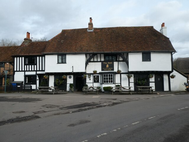
The village of End is characterized by its charming and traditional English architecture, with many of the buildings dating back several centuries. The quaint thatched cottages and historic houses add to the village's overall charm and appeal. The community is tightly-knit and prides itself on its friendly and welcoming atmosphere.
Despite its small size, End is well-equipped with amenities to cater to the needs of its residents. The village features a local village hall, which serves as a hub for various social gatherings and community events. Additionally, there is a small primary school, providing education for the local children.
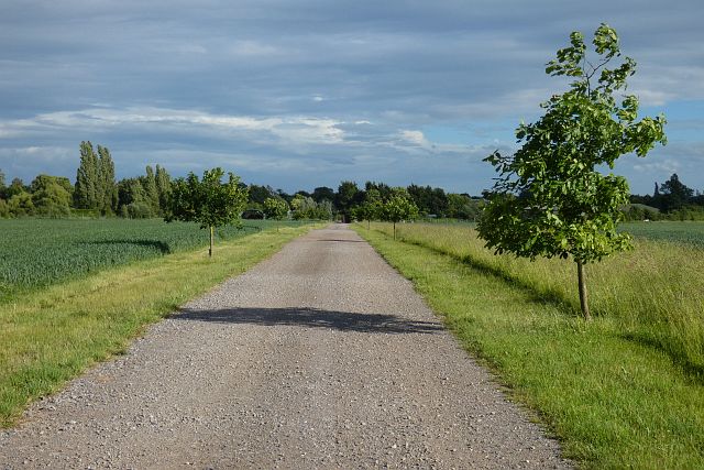
End benefits from its proximity to the nearby town of Newbury, which is approximately 5 miles away. Newbury offers a wider range of amenities, including larger supermarkets, shopping centers, and leisure facilities. Moreover, the village benefits from excellent transport links, with easy access to major roads and the nearby M4 motorway.
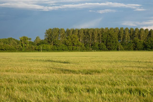
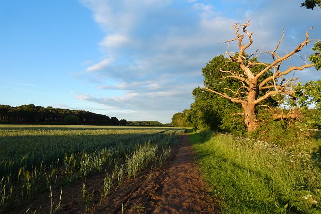
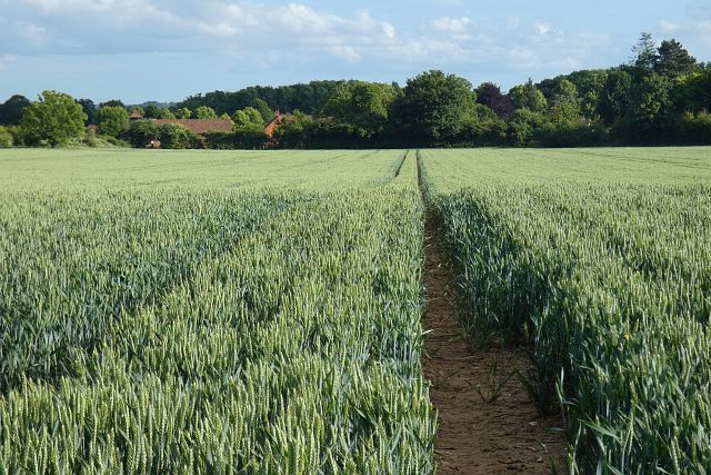
For those seeking outdoor activities, End is surrounded by beautiful countryside, with numerous walking and cycling routes to explore. The nearby North Wessex Downs Area of Outstanding Natural Beauty offers stunning views and a peaceful escape from the hustle and bustle of city life.
In summary, End, West Berkshire is a charming and peaceful village that provides a close-knit community, picturesque surroundings, and convenient access to nearby amenities.
If you have any feedback on the listing, please let us know in the comments section below.
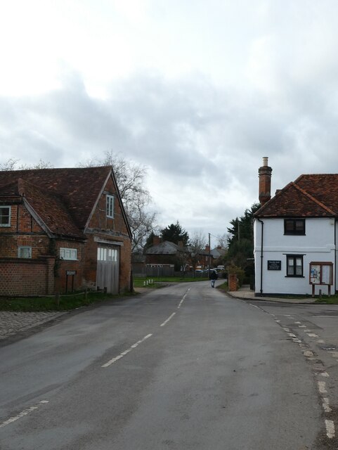
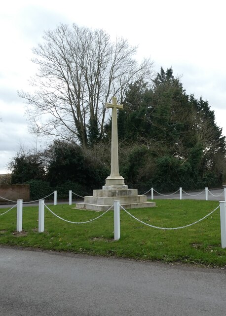
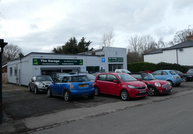
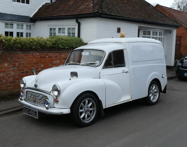
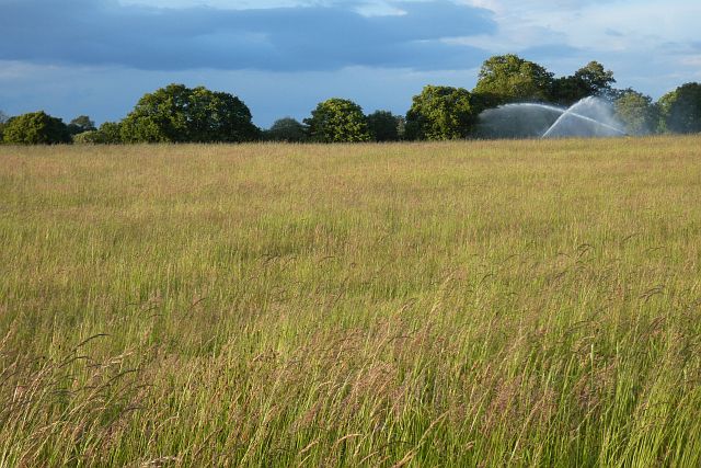
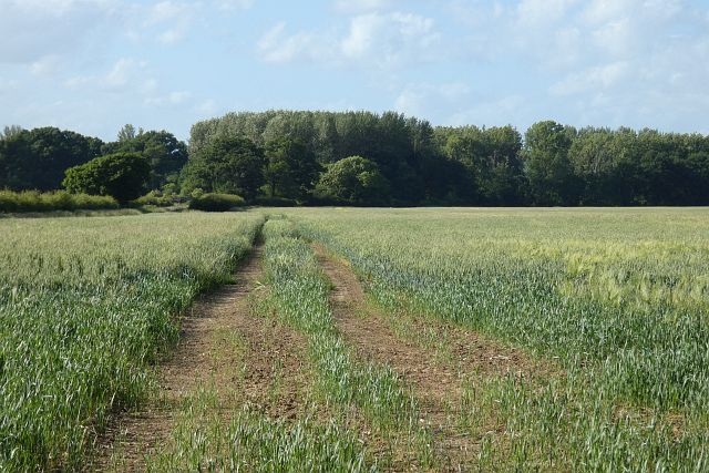
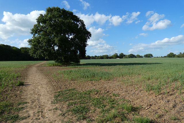
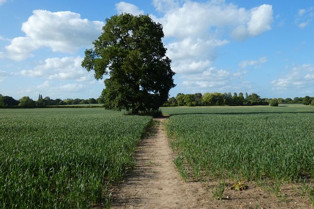
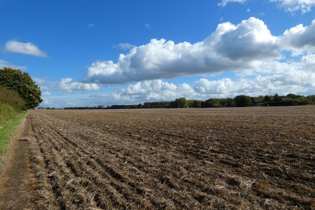
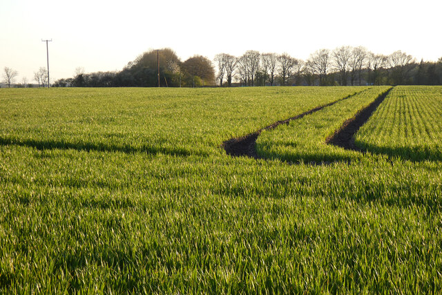
End, West Images
Images are sourced within 2km of 51.47337/-0.81832245 or Grid Reference SU8275. Thanks to Geograph Open Source API. All images are credited.
End, West is located at Grid Ref: SU8275 (Lat: 51.47337, Lng: -0.81832245)
Unitary Authority: Windsor and Maidenhead
Police Authority: Thames Valley
What 3 Words
///really.blackouts.cashiers. Near Twyford, Berkshire
Nearby Locations
Related Wikis

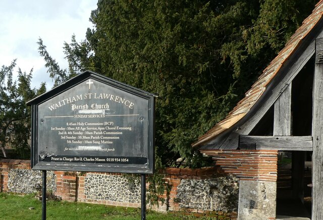
Waltham St Lawrence
Waltham St Lawrence is a village and civil parish in the English county of Berkshire. == Toponymy == The name 'Waltham' is believed to be derived from...

Shurlock Row
Shurlock Row is a village in the Royal Borough of Windsor and Maidenhead in Berkshire, England. It is located in the heart of the Thames Valley, around...
Stanlake Park Wine Estate
Stanlake Park Wine Estate is the largest vineyard in the English county of Berkshire. It is situated near to Twyford, in the parishes of Hurst and Ruscombe...

Ruscombe
Ruscombe is a village and civil parish, east of Twyford in the Borough of Wokingham in Berkshire, England. == History == Reports from the late 1800s provided...
Nearby Amenities
Located within 500m of 51.47337,-0.81832245Have you been to End, West?
Leave your review of End, West below (or comments, questions and feedback).