Bears Copse
Wood, Forest in Berkshire
England
Bears Copse
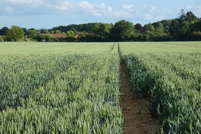
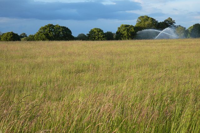
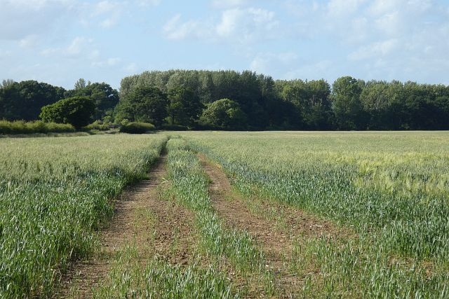
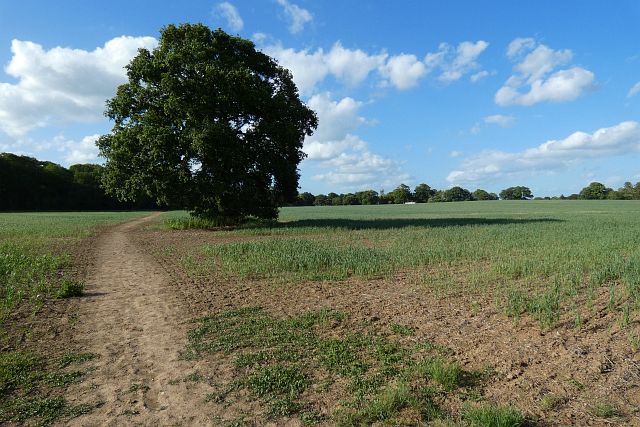
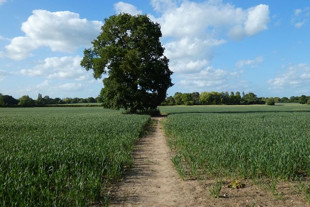
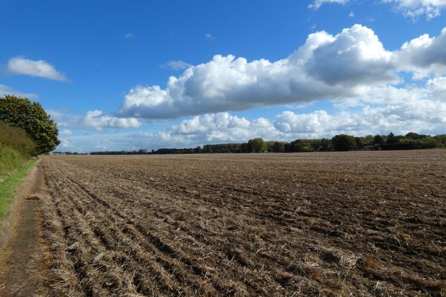
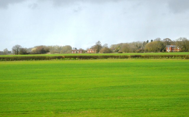
Bears Copse is a picturesque woodland located in the county of Berkshire, England. Covering an area of approximately 50 acres, it is situated near the village of Burghfield, just a few miles south of Reading. The copse is part of the wider area known as the Berkshire Downs, which is renowned for its natural beauty and diverse wildlife.
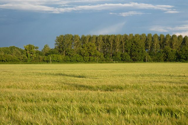
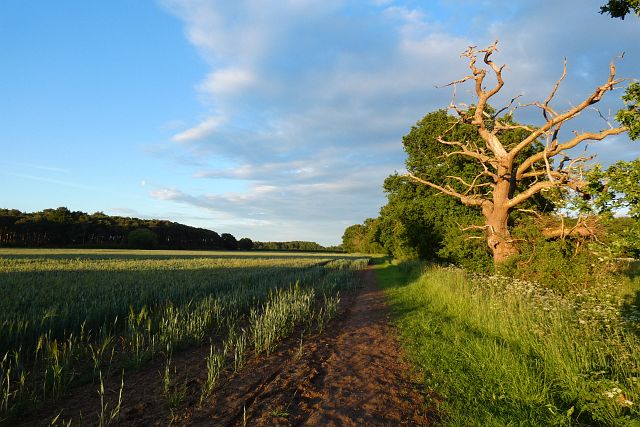
Bears Copse is characterized by its dense canopy of trees, primarily consisting of native species such as oak, beech, and silver birch. These towering trees provide a habitat for a wide range of flora and fauna, including various species of birds, mammals, and insects. The wood also boasts a rich undergrowth, with carpets of bluebells and wild garlic in the spring, adding to its enchanting charm.
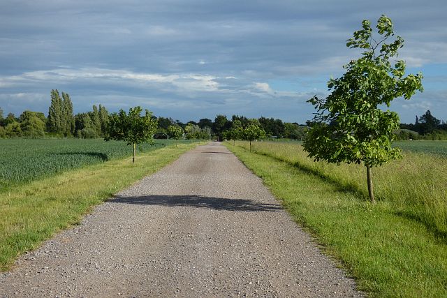
The woodland is intersected by a network of footpaths and trails, making it a popular destination for nature enthusiasts and walkers. These paths offer visitors the opportunity to explore the copse and discover its hidden treasures, such as ancient trees and secluded clearings. The tranquil atmosphere and peaceful surroundings make it an ideal place for relaxation and contemplation.
Bears Copse is managed by the local Berkshire Wildlife Trust, which works to preserve and enhance the natural habitat. The trust organizes regular events and activities for the public, including guided walks and educational programs, aimed at promoting an appreciation for the local environment and its conservation.
Overall, Bears Copse is a captivating woodland that showcases the beauty of the Berkshire countryside. With its diverse ecosystem and tranquil atmosphere, it offers visitors a chance to immerse themselves in nature and escape the hustle and bustle of everyday life.
If you have any feedback on the listing, please let us know in the comments section below.
Bears Copse Images
Images are sourced within 2km of 51.476853/-0.81594294 or Grid Reference SU8275. Thanks to Geograph Open Source API. All images are credited.
Bears Copse is located at Grid Ref: SU8275 (Lat: 51.476853, Lng: -0.81594294)
Unitary Authority: Windsor and Maidenhead
Police Authority: Thames Valley
What 3 Words
///hunter.september.public. Near Twyford, Berkshire
Nearby Locations
Related Wikis

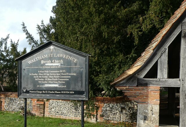
Waltham St Lawrence
Waltham St Lawrence is a village and civil parish in the English county of Berkshire. == Toponymy == The name 'Waltham' is believed to be derived from...

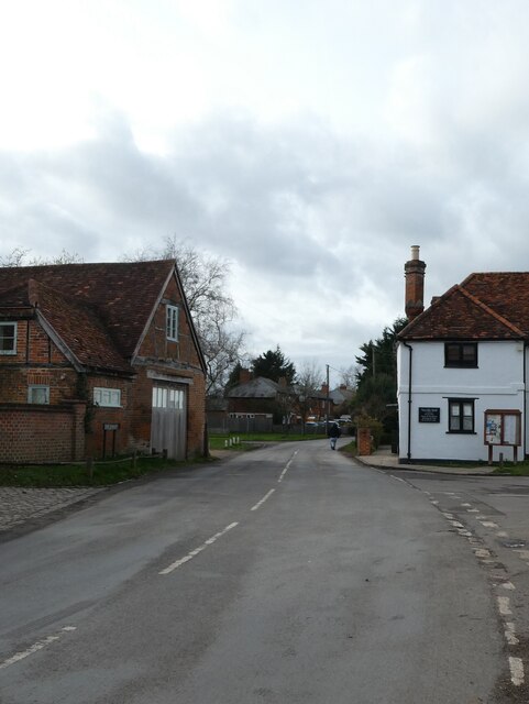
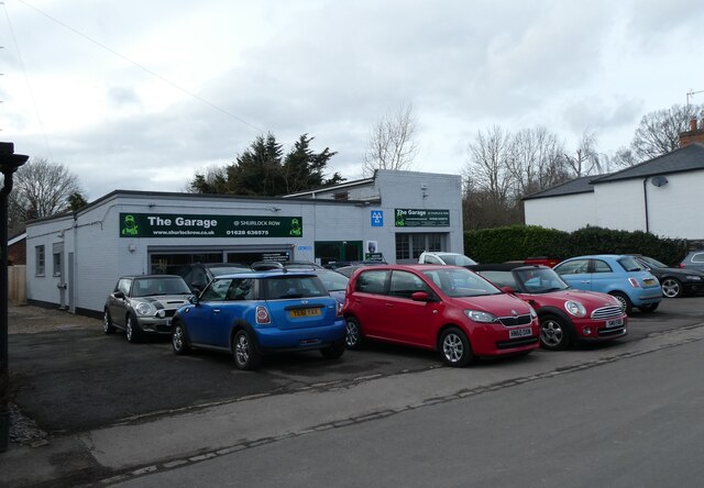
Shurlock Row
Shurlock Row is a village in the Royal Borough of Windsor and Maidenhead in Berkshire, England. It is located in the heart of the Thames Valley, around...

Shottesbrooke Park
Shottesbrooke Park is a Grade II* listed country house and park in Shottesbrooke, Berkshire, England, southwest of Maidenhead. The house is a Tudor mansion...

Shottesbrooke
Shottesbrooke is a hamlet and civil parish administered by the unitary authority of the Royal Borough of Windsor and Maidenhead in the English county...
Stanlake Park Wine Estate
Stanlake Park Wine Estate is the largest vineyard in the English county of Berkshire. It is situated near to Twyford, in the parishes of Hurst and Ruscombe...

Ruscombe
Ruscombe is a village and civil parish, east of Twyford in the Borough of Wokingham in Berkshire, England. == History == Reports from the late 1800s provided...
Kiln Green
Kiln Green is a small village in the civil parish of Wargrave in the English county of Berkshire. It is at grid reference SU813784 on the A4 Bath Road...
Hare Hatch
Hare Hatch is a village in Berkshire, England, and part of the civil parish of Ruscombe. According to the Post Office the majority of the population at...
Nearby Amenities
Located within 500m of 51.476853,-0.81594294Have you been to Bears Copse?
Leave your review of Bears Copse below (or comments, questions and feedback).