Dunnet, West
Settlement in Caithness
Scotland
Dunnet, West
The requested URL returned error: 429 Too Many Requests
If you have any feedback on the listing, please let us know in the comments section below.
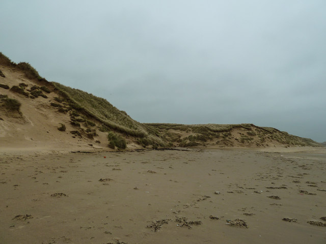
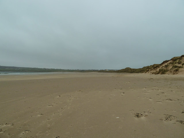
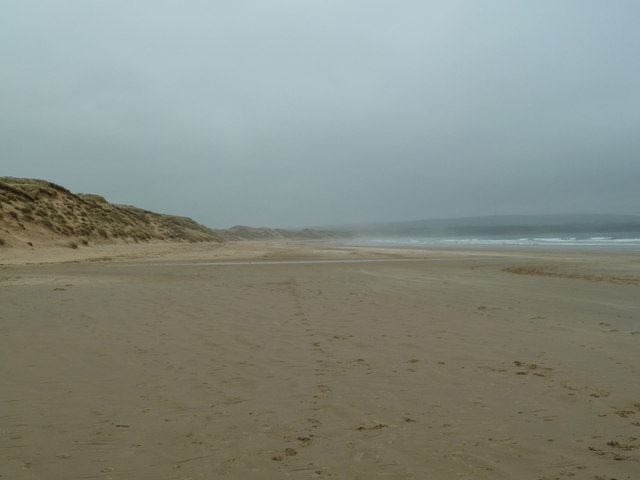
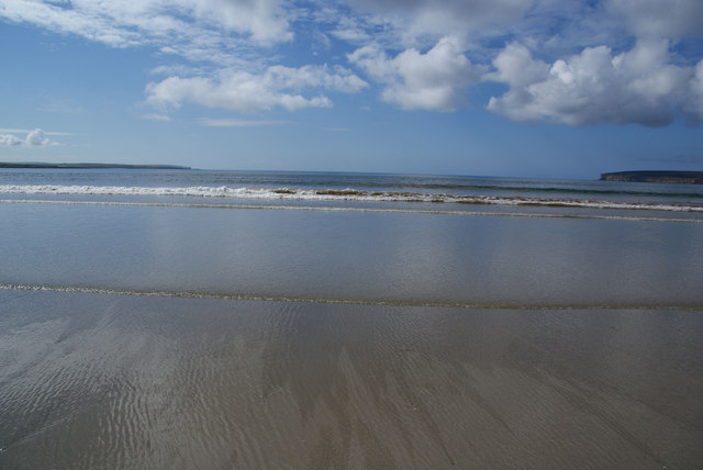
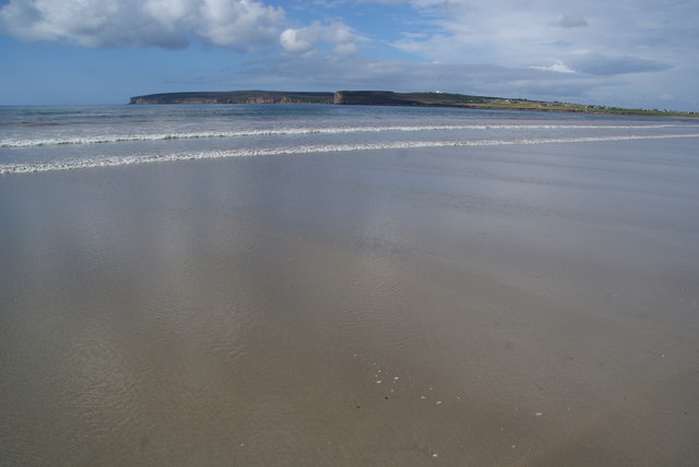
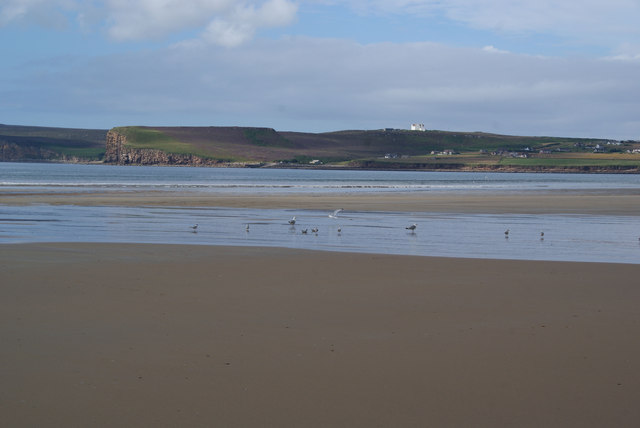
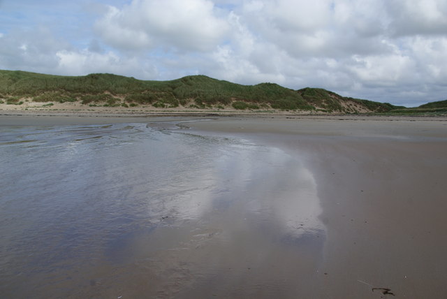
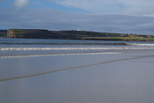
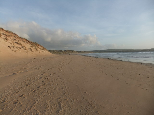
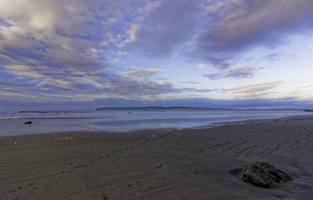
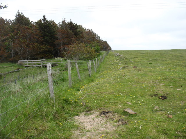
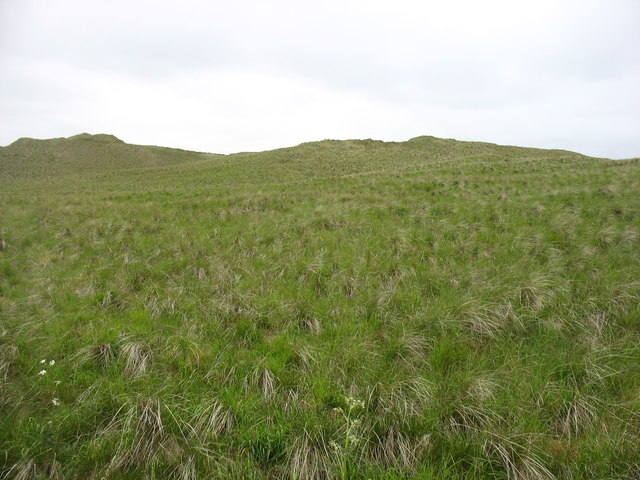
Dunnet, West Images
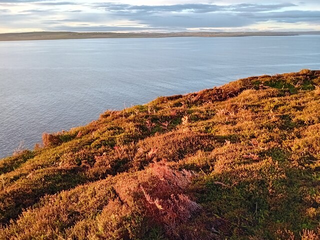
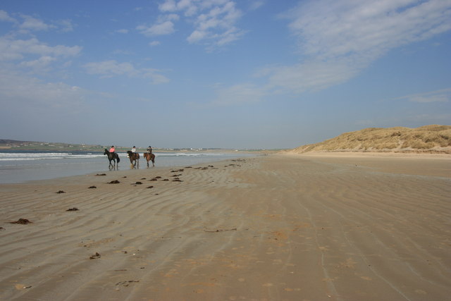
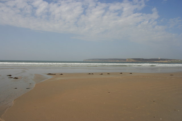
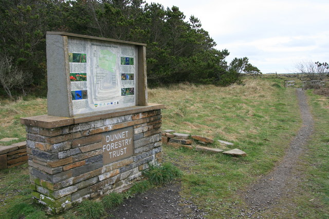
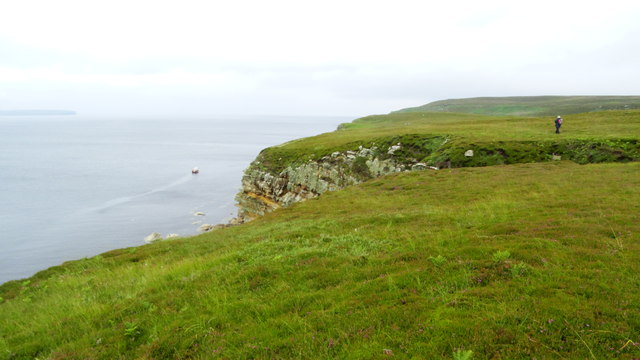
Images are sourced within 2km of 58.619703/-3.3618194 or Grid Reference ND2171. Thanks to Geograph Open Source API. All images are credited.
Dunnet, West is located at Grid Ref: ND2171 (Lat: 58.619703, Lng: -3.3618194)
Unitary Authority: Highland
Police Authority: Highlands and Islands
What 3 Words
///mocked.chariots.fear. Near Thurso, Highland
Nearby Locations
Related Wikis
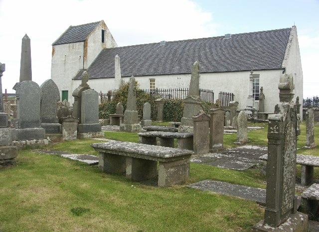
Dunnet Church
Dunnet Parish Church is a Church of Scotland church in Dunnet, Caithness, northern Scotland. References to St Mary's Parish Church are known from as far...

Dunnet
Dunnet is a village in Caithness, in the Highland area of Scotland. It is within the Parish of Dunnet. == Village == The village centres on the A836–B855...

Dunnet Forest
Dunnet Forest in Dunnet, Caithness, Scotland, is the most northerly community woodland on the UK mainland, and has been managed since 2003 by Dunnet Forestry...

Brough, Caithness
Brough is a small village (population 66) in Caithness in the North of Scotland. It is located on the B855 single-track road, the most northerly numbered...
Nearby Amenities
Located within 500m of 58.619703,-3.3618194Have you been to Dunnet, West?
Leave your review of Dunnet, West below (or comments, questions and feedback).