Dunnet
Settlement in Caithness
Scotland
Dunnet
Dunnet is a small village located on the north coast of Scotland, in the county of Caithness. Situated about 2 miles (3 kilometers) northwest of Thurso, it lies at the tip of the Dunnet Head peninsula, which is the northernmost point of mainland Britain. With its picturesque setting, Dunnet is known for its stunning natural landscapes and scenic beauty.
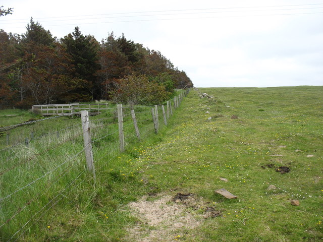
The village is home to a population of around 500 residents, who enjoy a peaceful and close-knit community life. The local economy primarily relies on agriculture, fishing, and tourism. The fertile farmland surrounding Dunnet is known for its productivity, with crops such as barley, oats, and potatoes being cultivated.
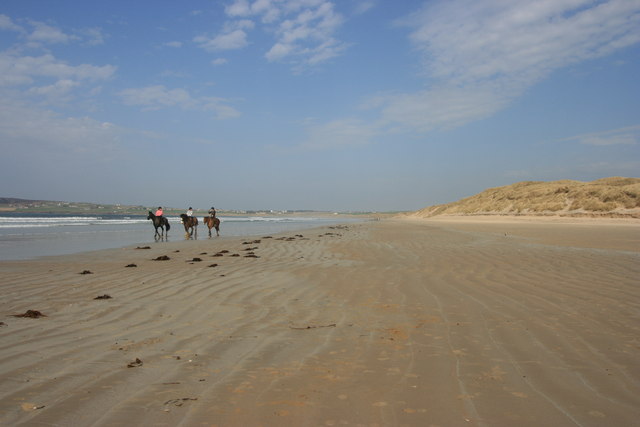
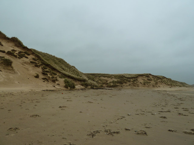
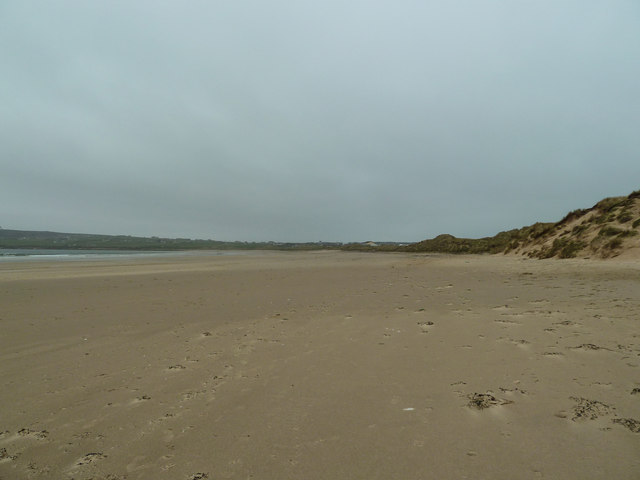
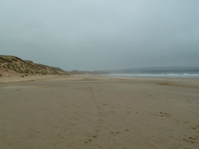
Dunnet Beach is a major attraction in the area, stretching for nearly 2 miles (3 kilometers) along the coast. It is renowned for its pristine white sands and clear turquoise waters, making it a popular spot for beachgoers and water sports enthusiasts. The beach also offers breathtaking views of the Orkney Islands, which can be seen on clear days.
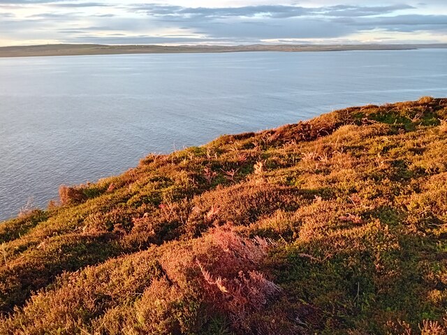
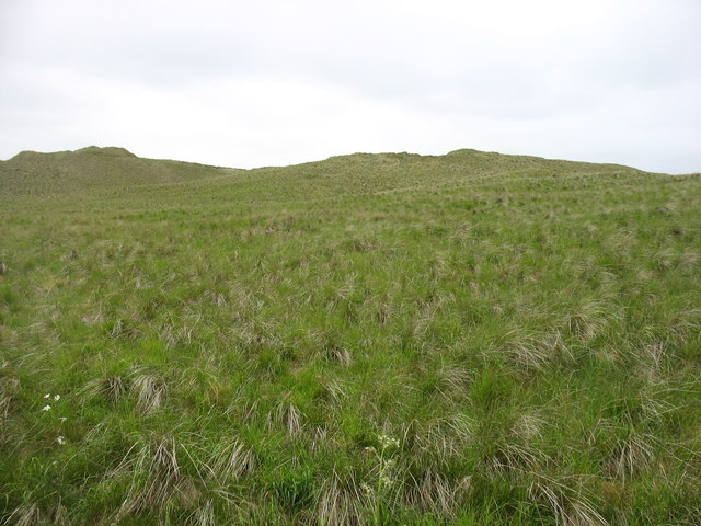
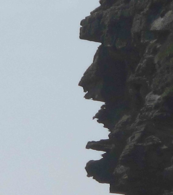
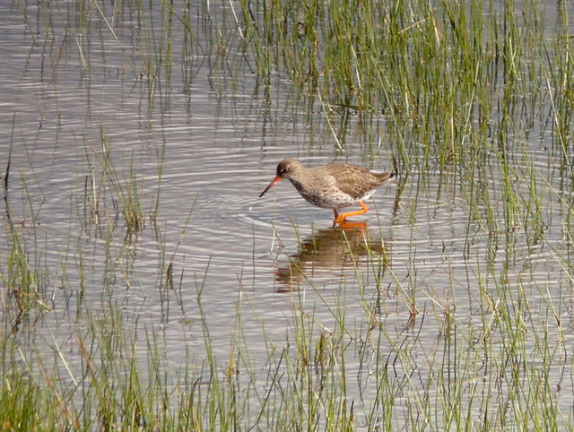
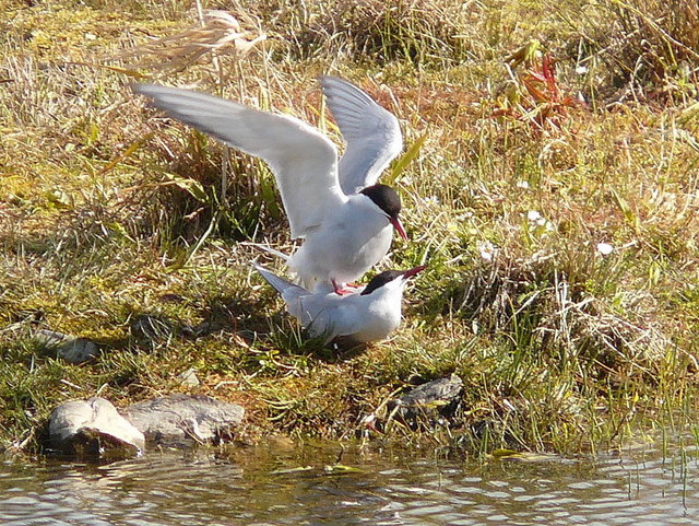
Nature lovers are drawn to Dunnet Head, a nature reserve and Site of Special Scientific Interest (SSSI) that boasts a diverse range of flora and fauna. The headland is home to various bird species, including puffins, kittiwakes, and fulmars, making it a haven for birdwatching enthusiasts. The Dunnet Head Lighthouse, built in 1831, stands proudly on the cliffs, adding to the area's charm and historical significance.
In summary, Dunnet is a picturesque village in Caithness, Scotland, offering stunning natural landscapes, a close-knit community, and a range of activities for visitors to enjoy.
If you have any feedback on the listing, please let us know in the comments section below.
Dunnet Images
Images are sourced within 2km of 58.623827/-3.352541 or Grid Reference ND2171. Thanks to Geograph Open Source API. All images are credited.


Dunnet is located at Grid Ref: ND2171 (Lat: 58.623827, Lng: -3.352541)
Unitary Authority: Highland
Police Authority: Highlands and Islands
What 3 Words
///twitching.cure.replying. Near Thurso, Highland
Nearby Locations
Related Wikis
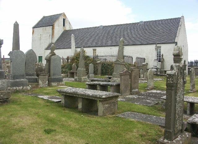
Dunnet Church
Dunnet Parish Church is a Church of Scotland church in Dunnet, Caithness, northern Scotland. References to St Mary's Parish Church are known from as far...

Dunnet
Dunnet is a village in Caithness, in the Highland area of Scotland. It is within the Parish of Dunnet. == Village == The village centres on the A836–B855...

Dunnet Forest
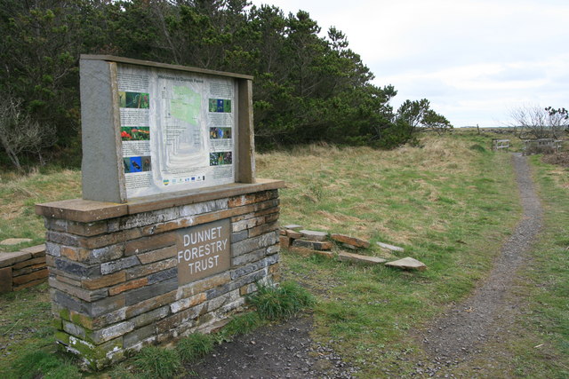
Dunnet Forest in Dunnet, Caithness, Scotland, is the most northerly community woodland on the UK mainland, and has been managed since 2003 by Dunnet Forestry...

Brough, Caithness
Brough is a small village (population 66) in Caithness in the North of Scotland. It is located on the B855 single-track road, the most northerly numbered...
Nearby Amenities
Located within 500m of 58.623827,-3.352541Have you been to Dunnet?
Leave your review of Dunnet below (or comments, questions and feedback).