West Dunnet
Settlement in Caithness
Scotland
West Dunnet
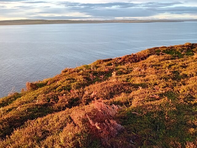
West Dunnet is a small coastal village located in the county of Caithness, in the northernmost part of mainland Scotland. Situated on the north coast, West Dunnet is surrounded by stunning natural beauty, with rugged cliffs, sandy beaches, and rolling green hills.
The village itself is characterized by its quaint charm and peaceful atmosphere. It is home to a close-knit community of residents who take great pride in their picturesque surroundings. The main focal point of West Dunnet is the village square, where locals and visitors can find a few amenities such as a small shop, a post office, and a pub.
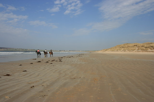
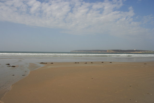
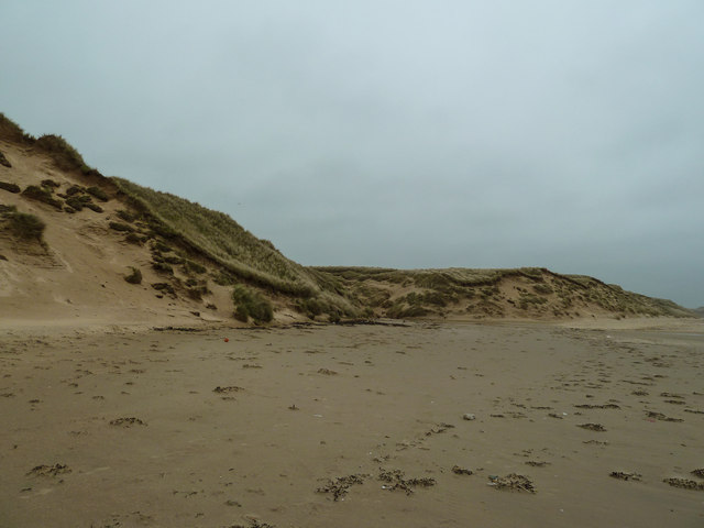
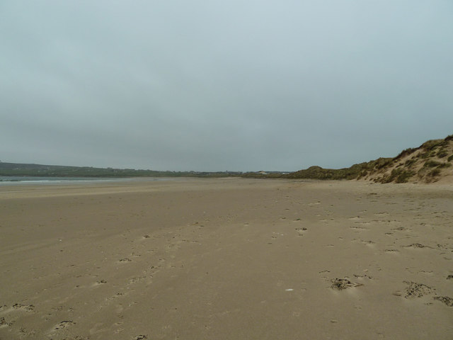
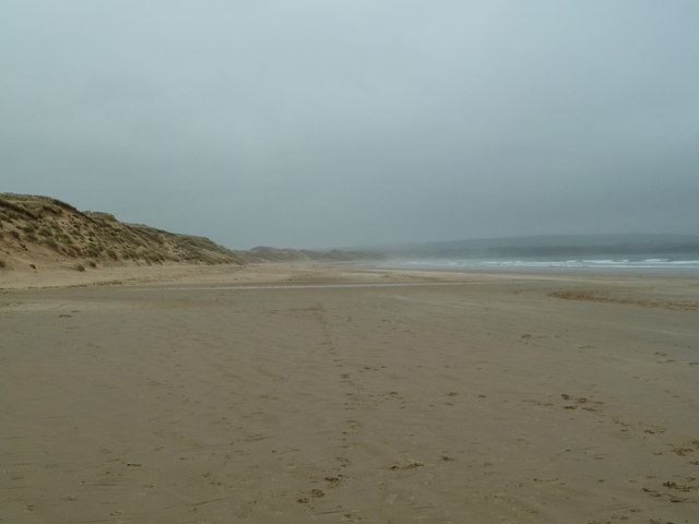
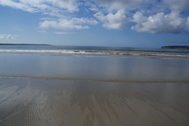
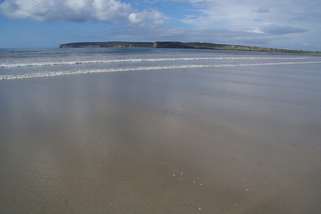
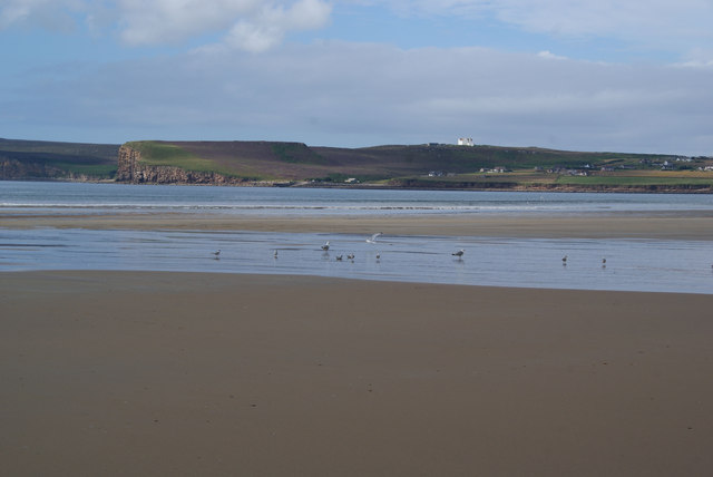
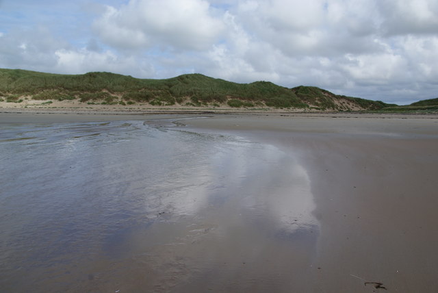
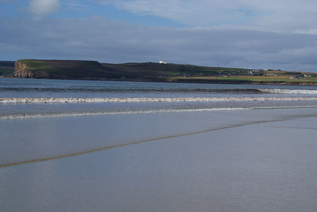
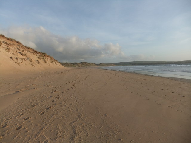
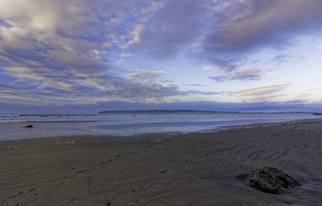
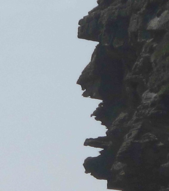
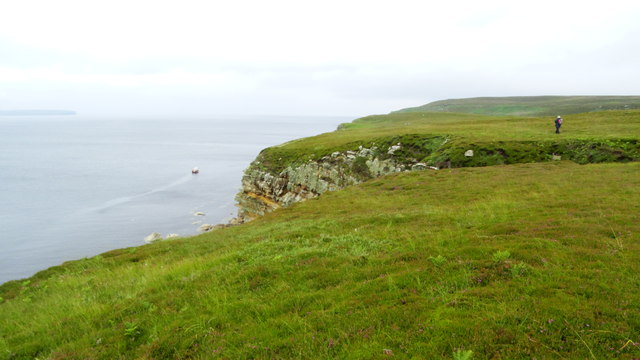
One of the most notable features of West Dunnet is its stunning coastline. The village is blessed with miles of unspoiled sandy beaches, including Dunnet Bay, which is renowned for its beauty and attracts visitors from far and wide. The coastline is also dotted with impressive sea cliffs, providing breathtaking views of the North Sea.
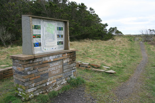
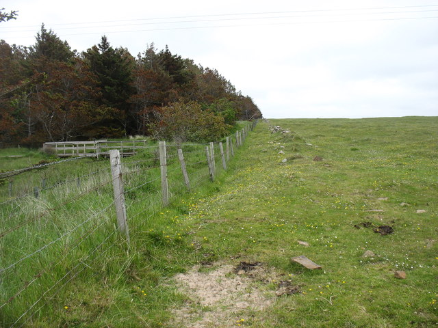
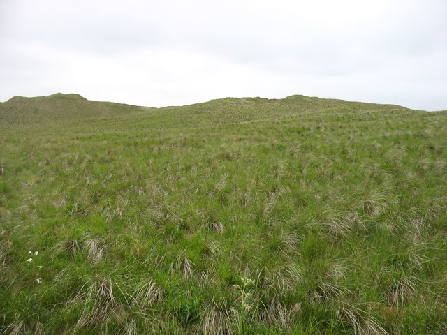
For nature enthusiasts, West Dunnet offers ample opportunities for outdoor activities. The nearby Dunnet Forest provides a tranquil setting for walking, cycling, and wildlife spotting. The area is also a haven for birdwatchers, as it is home to a variety of seabirds such as puffins, guillemots, and kittiwakes.
Overall, West Dunnet is a hidden gem on Scotland's north coast, offering a peaceful retreat for those seeking tranquility, natural beauty, and a warm community spirit.
If you have any feedback on the listing, please let us know in the comments section below.
West Dunnet Images
Images are sourced within 2km of 58.619703/-3.3618194 or Grid Reference ND2171. Thanks to Geograph Open Source API. All images are credited.
West Dunnet is located at Grid Ref: ND2171 (Lat: 58.619703, Lng: -3.3618194)
Unitary Authority: Highland
Police Authority: Highlands and Islands
What 3 Words
///mocked.chariots.fear. Near Thurso, Highland
Nearby Locations
Related Wikis
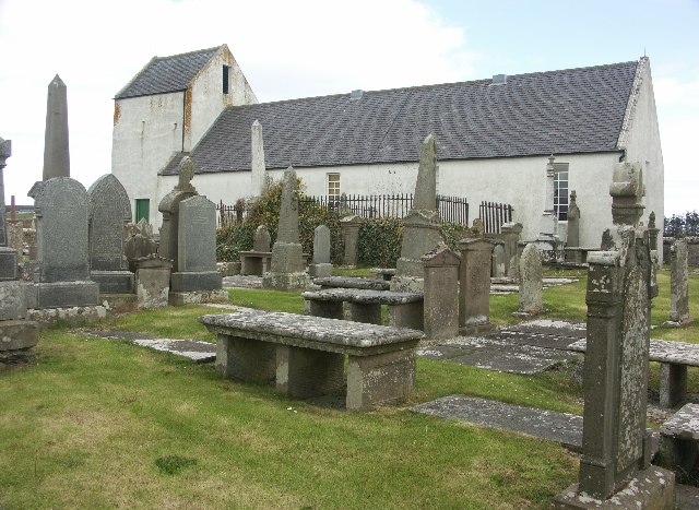
Dunnet Church
Dunnet Parish Church is a Church of Scotland church in Dunnet, Caithness, northern Scotland. References to St Mary's Parish Church are known from as far...

Dunnet
Dunnet is a village in Caithness, in the Highland area of Scotland. It is within the Parish of Dunnet. == Village == The village centres on the A836–B855...

Dunnet Forest
Dunnet Forest in Dunnet, Caithness, Scotland, is the most northerly community woodland on the UK mainland, and has been managed since 2003 by Dunnet Forestry...

Brough, Caithness
Brough is a small village (population 66) in Caithness in the North of Scotland. It is located on the B855 single-track road, the most northerly numbered...

Castletown, Highland
Castletown (Scottish Gaelic: Baile a' Chaisteil) is a village on the north coast of the Highland council area of Scotland, situated near Dunnet Bay. It...

Brough Castle (Caithness)
Brough Castle is a ruined castle near Brough, Caithness. It is believed to date from the 12th to 14th centuries. == Description == The foundations of...

Ham, Caithness
Ham is a village in the Caithness region in the Scottish council area of Highland. It has a very short river running from a mill pond to the sea - a total...

RAF Castletown
Royal Air Force Castletown or more simply RAF Castletown, is a former Royal Air Force station that operated during the Second World War. Built near to...
Nearby Amenities
Located within 500m of 58.619703,-3.3618194Have you been to West Dunnet?
Leave your review of West Dunnet below (or comments, questions and feedback).