West Dulwich
Settlement in Surrey
England
West Dulwich
West Dulwich is a suburban district located in the borough of Southwark, London, England. Although it is commonly referred to as West Dulwich, it is technically part of the larger area of Dulwich. It is situated approximately 5 miles south of Charing Cross and is bordered by the areas of Tulse Hill, Dulwich Village, and Crystal Palace.
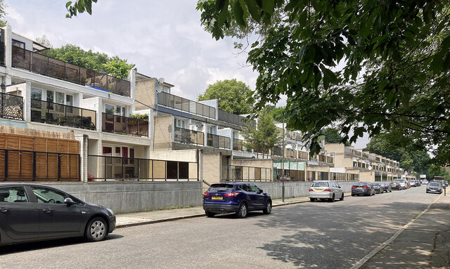
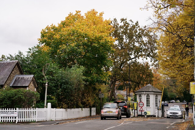
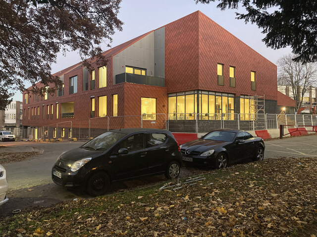
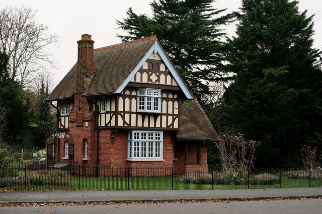
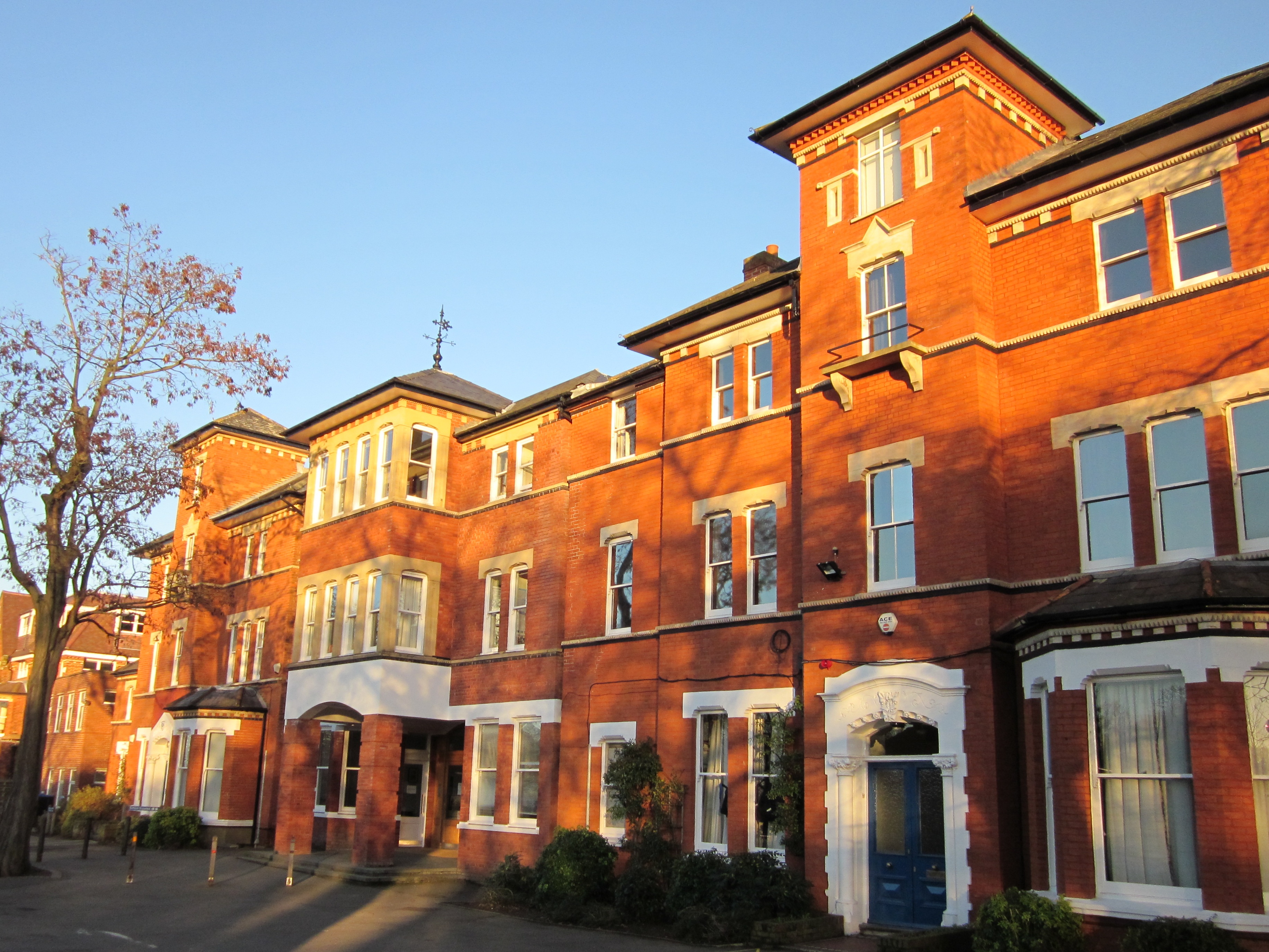
West Dulwich is predominantly a residential area known for its leafy streets and affluent character. The architecture of the area is varied, featuring a mix of Victorian, Edwardian, and Georgian properties. The area is also home to several notable landmarks, including the Dulwich Picture Gallery, one of London's oldest public art galleries, and Dulwich College, a prestigious independent school.
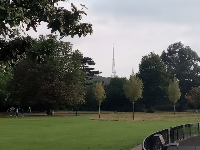
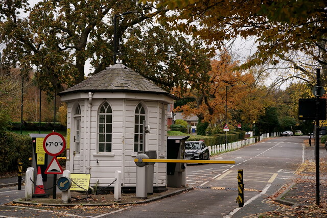
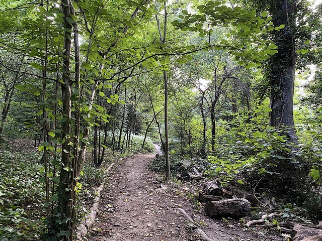
Residents of West Dulwich benefit from the area's proximity to Dulwich Park, a large recreational space with beautiful landscaped gardens, a boating lake, and sports facilities. The park provides a peaceful retreat from the bustling city life. Transport links in West Dulwich are convenient, with West Dulwich railway station providing regular services to central London and surrounding areas.
The local community in West Dulwich is vibrant and close-knit, with a range of independent shops, cafes, and restaurants. The area is also well-served by amenities, including a library, medical facilities, and supermarkets. West Dulwich offers a desirable blend of suburban tranquility and easy access to the city, making it a sought-after location for families and professionals alike.
If you have any feedback on the listing, please let us know in the comments section below.
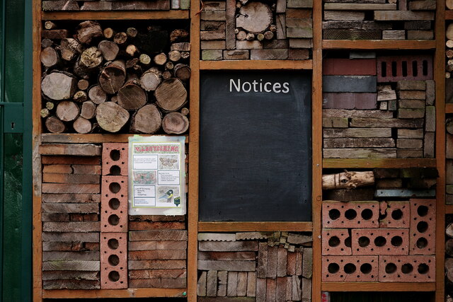
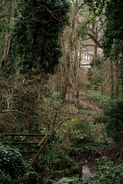
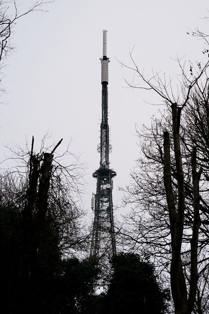
West Dulwich Images
Images are sourced within 2km of 51.436952/-0.094391631 or Grid Reference TQ3272. Thanks to Geograph Open Source API. All images are credited.


West Dulwich is located at Grid Ref: TQ3272 (Lat: 51.436952, Lng: -0.094391631)
Unitary Authority: Lambeth
Police Authority: Metropolitan
What 3 Words
///silent.drips.asleep. Near Brixton Hill, London
Nearby Locations
Related Wikis

Oakfield Preparatory School
Oakfield Preparatory School is an independent coeducational preparatory school in West Dulwich, Lambeth. in the United Kingdom Oakfield is a member of...

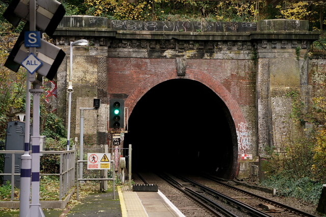
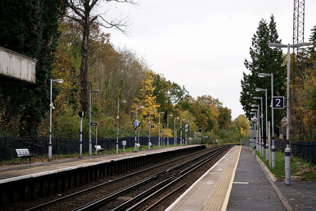
West Dulwich railway station
West Dulwich railway station is on the Chatham Main Line in England, serving the West Dulwich area in the London Borough of Southwark, south London. It...
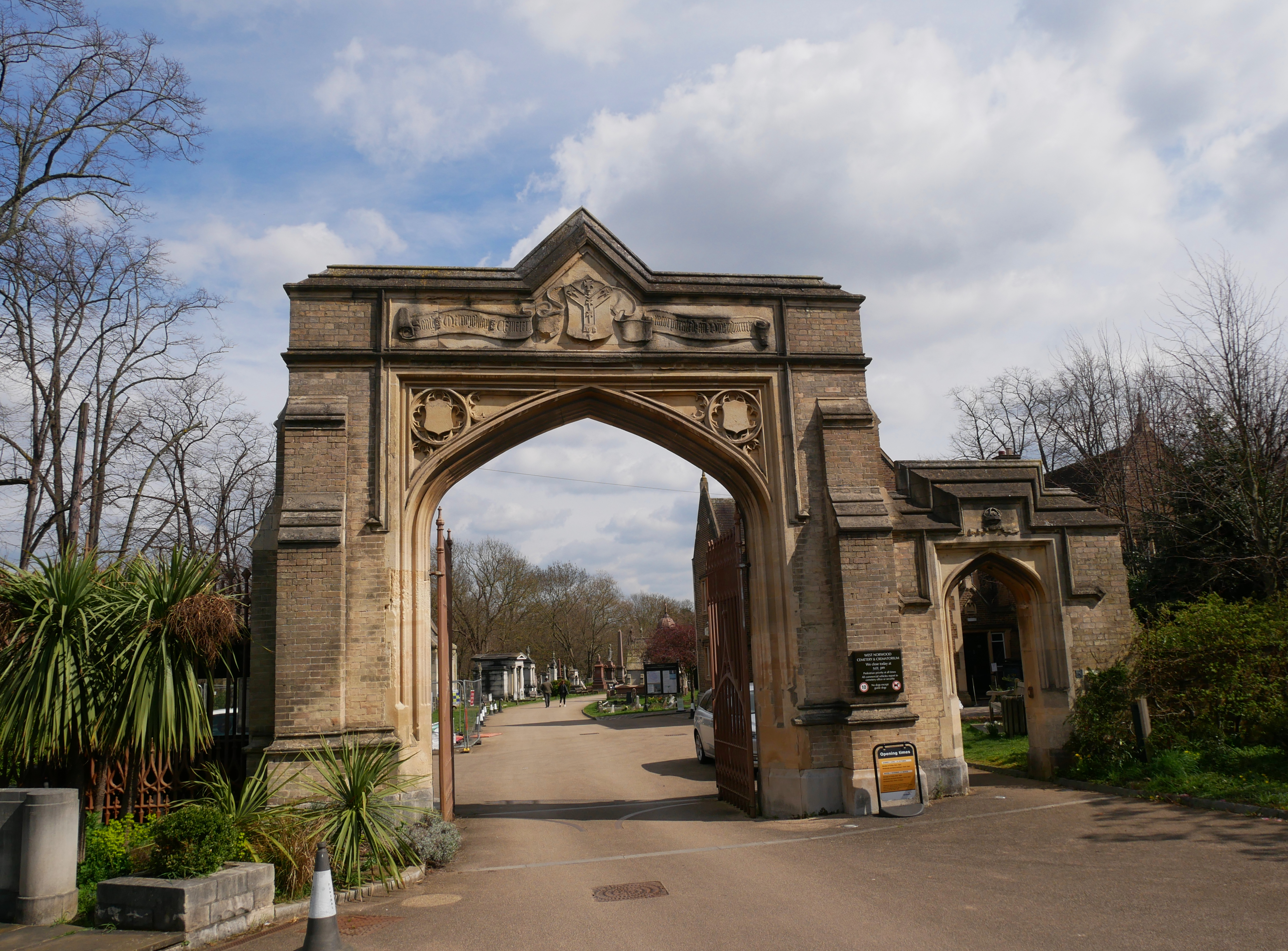
West Norwood Cemetery
West Norwood Cemetery is a 40-acre (16 ha) rural cemetery in West Norwood in London, England. It was also known as the South Metropolitan Cemetery. One...

Thurlow Park (ward)
Thurlow Park ward was an administrative division of the London Borough of Lambeth, England from 1965 to 2022. It was located in the constituency of Dulwich...
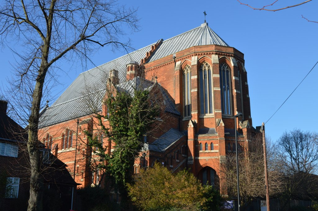
All Saints Church, West Dulwich
All Saints' Church is a Church of England parish church in West Dulwich, South London. It is a red brick building designed in a Gothic Revival style by...
Elm Wood Primary School
Elm Wood School is a primary school based at the southern end of the inner London Borough of Lambeth. The school has gone through a number of changes since...
Elmgreen School
The Elmgreen School is a coeducational secondary school and sixth form located in the West Norwood area of the London Borough of Lambeth, England. It was...
Dulwich Prep London
Dulwich Prep London (DPL), formerly known as Dulwich College Preparatory School, is an independent preparatory school in Dulwich, south London, England...
Nearby Amenities
Located within 500m of 51.436952,-0.094391631Have you been to West Dulwich?
Leave your review of West Dulwich below (or comments, questions and feedback).