West Byres

Settlement in East Lothian

Scotland

West Byres

Road by Preston Mains Midlothian yellow road.
Road by Preston Mains Credit: Richard Webb

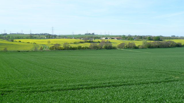
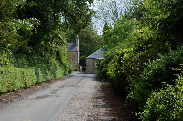
West Byres is a small village located in East Lothian, Scotland. Situated approximately 20 miles east of Edinburgh, it is nestled amidst picturesque countryside and boasts a tranquil and idyllic setting. The village is home to a close-knit community of around 200 residents.

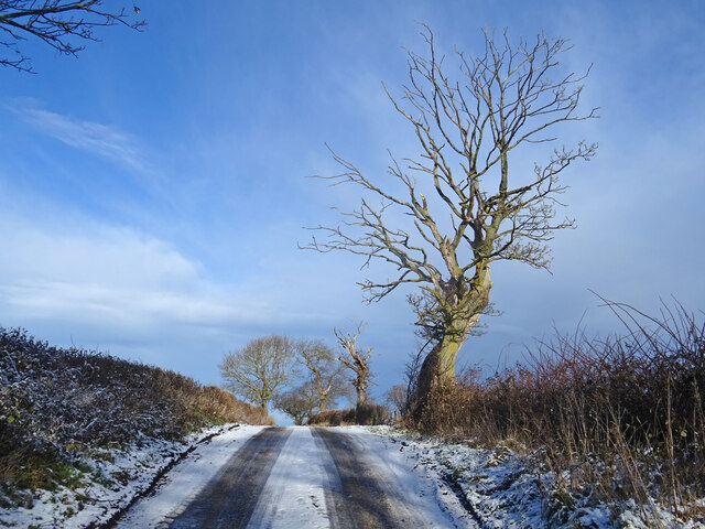
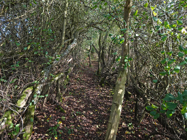
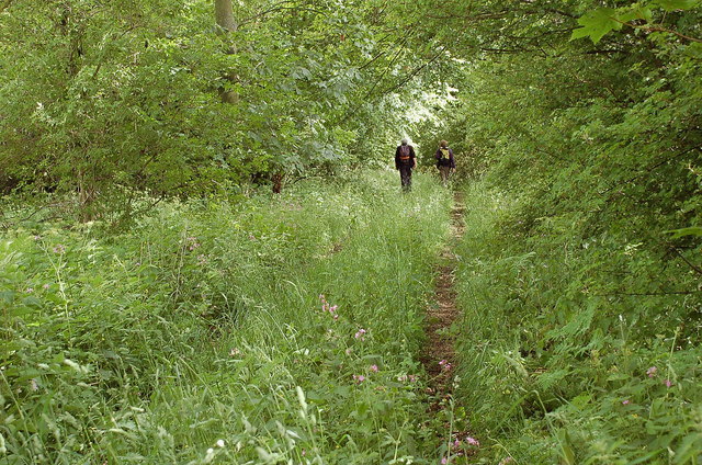
West Byres is known for its charming traditional stone cottages, which give the village a quaint and timeless feel. The surrounding landscape is characterized by rolling hills, lush green fields, and meandering streams, making it an ideal location for nature enthusiasts and outdoor activities.

Despite its small size, West Byres offers several amenities to its residents. There is a local pub, The Byres Arms, which serves as a central meeting point for villagers. The pub often hosts community events and provides a friendly atmosphere for socializing. Additionally, the village has a primary school, ensuring that young families have access to education within the community.

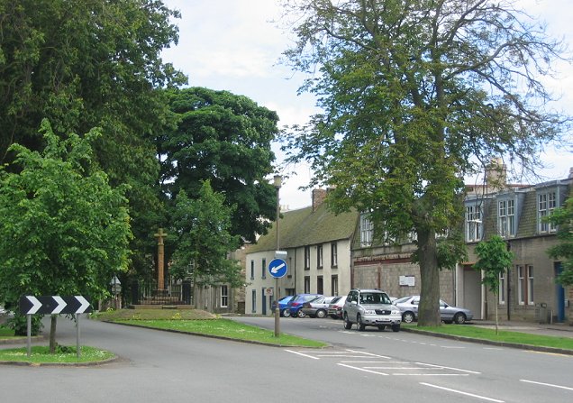
The nearby town of Haddington, located just a short drive away, provides further amenities such as supermarkets, shops, and healthcare facilities. This allows residents of West Byres to have easy access to essential services while still enjoying the peacefulness of rural living.

Overall, West Byres is a charming village that offers a close-knit community, beautiful natural surroundings, and a peaceful way of life. It is an ideal place for those seeking a slower pace of life while still being within reach of urban amenities.

If you have any feedback on the listing, please let us know in the comments section below.
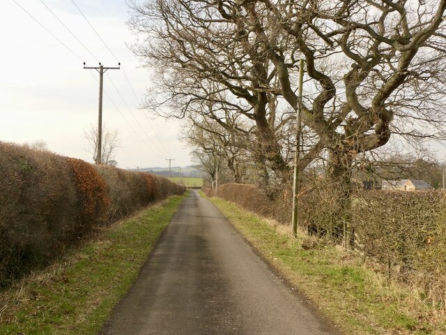
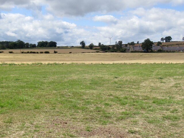
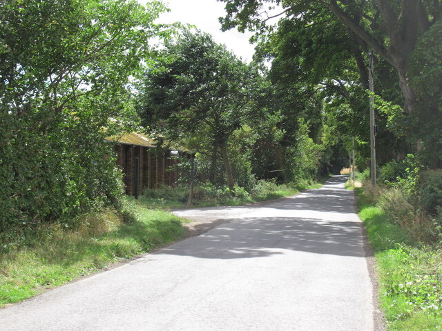
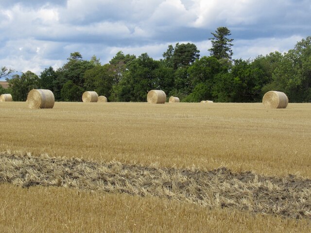
West Byres Images

Images are sourced within 2km of 55.892376/-2.9609324 or Grid Reference NT4067. Thanks to Geograph Open Source API. All images are credited.

Road by Preston Mains Midlothian yellow road.
Road by Preston Mains
Midlothian yellow road.
Temporary road, The Murrays Work on the power line.
Temporary road, The Murrays
Work on the power line.
Power lines, The Murrays A complex arrangement of power lines one currently being refurbished.
Power lines, The Murrays
A complex arrangement of power lines one currently being refurbished.
Ormiston Mains
Ormiston Mains
Arable land, Airfield
Site of Airfield Sawmill Timber is still handled here but I suspect it is now some form of factory. The building on the left is marked as a colliery on old maps.
Site of Airfield Sawmill
Timber is still handled here but I suspect it is now some form of factory. The building on the left is marked as a colliery on old maps.
Round bales, Preston
Country Road in Winter On the minor road from Ormiston to Melvin Hall with frozen snow meaning this hill is a treacherous proposition even on foot! Skeletal tree also showing what time of year it is.
Summer picture here taken from about where the tree is.
<a title="https://www.geograph.org.uk/photo/4430206" href="https://www.geograph.org.uk/photo/4430206">Link</a>
Country Road in Winter
On the minor road from Ormiston to Melvin Hall with frozen snow meaning this hill is a treacherous proposition even on foot! Skeletal tree also showing what time of year it is. Summer picture here taken from about where the tree is. Link
Joe's Path Path through a tunnel of trees near Cousland named Joe's Path.
Joe's Path
Path through a tunnel of trees near Cousland named Joe's Path.
Old signpost on the A6093 Pathhead 2 3/8 miles
Dalkeith 5 7/8 miles
Edinburgh 12 3/8 miles
Lauder 16 7/8 miles
Ormiston 1 5/8 miles
Pencaitland 1 7/8 miles
Haddington 7 1/2 miles

I can certainly attest to the educational value of geograph, because I have learned from fellow geograph-er Richard West's contributions that this type of sign is known technically as a fingerpost.
Old signpost on the A6093
Pathhead 2 3/8 miles Dalkeith 5 7/8 miles Edinburgh 12 3/8 miles Lauder 16 7/8 miles Ormiston 1 5/8 miles Pencaitland 1 7/8 miles Haddington 7 1/2 miles I can certainly attest to the educational value of geograph, because I have learned from fellow geograph-er Richard West's contributions that this type of sign is known technically as a fingerpost.
Old signpost on the A6093 House O' Muir 7/8 miles
Templehall 2 miles
Peaston 2 1/4 miles
Humbie 5 3/8 miles
Old signpost on the A6093
House O' Muir 7/8 miles Templehall 2 miles Peaston 2 1/4 miles Humbie 5 3/8 miles
View near West Byres
Overgrown track near Preston Hall Summer growth trying its best to obscure the track leading to the B6367 at the N boundary of the estate.
Overgrown track near Preston Hall
Summer growth trying its best to obscure the track leading to the B6367 at the N boundary of the estate.
Gates north of Preston Hall Estate gates at a now disused entrance with the sadly inevitable fringe of dumped rubbish.
Gates north of Preston Hall
Estate gates at a now disused entrance with the sadly inevitable fringe of dumped rubbish.
East Lothian boundary sign, B6367 The wording on the sign reads:

Welcome to
East Lothian

Birthplace of Scotland's Flag  832 AD

in reference to the Battle of Athelstaneford between a force of Picts and Scots and a Northumbrian army - see <a href="https://www.geograph.org.uk/photo/817671">NT5377 : The Saltire, National Flag of Scotland</a>.
East Lothian boundary sign, B6367
The wording on the sign reads: Welcome to East Lothian Birthplace of Scotland's Flag 832 AD in reference to the Battle of Athelstaneford between a force of Picts and Scots and a Northumbrian army - see NT5377 : The Saltire, National Flag of Scotland.
Road to Rose Mains A farm access road from the B6367.
Road to Rose Mains
A farm access road from the B6367.
Ducking under Power lines crossing at The Murrays. The profusion is due to the addition of Torness power station in the 1980s, there is a line running down off the Lammermuir Hills.

The Murrays is one of only two dairy farms in East Lothian. Yester <a href="https://www.geograph.org.uk/photo/712536">NT5366 : Yester Mains</a> is famous, but it has taken me a while to find the other one.
Ducking under
Power lines crossing at The Murrays. The profusion is due to the addition of Torness power station in the 1980s, there is a line running down off the Lammermuir Hills. The Murrays is one of only two dairy farms in East Lothian. Yester NT5366 : Yester Mains is famous, but it has taken me a while to find the other one.
Cemetery, Ormiston Some distance from modern Ormiston.
Cemetery, Ormiston
Some distance from modern Ormiston.
Show me another place!

West Byres is located at Grid Ref: NT4067 (Lat: 55.892376, Lng: -2.9609324)

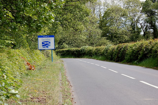
Unitary Authority: East Lothian

Police Authority: The Lothians and Scottish Borders

What 3 Words

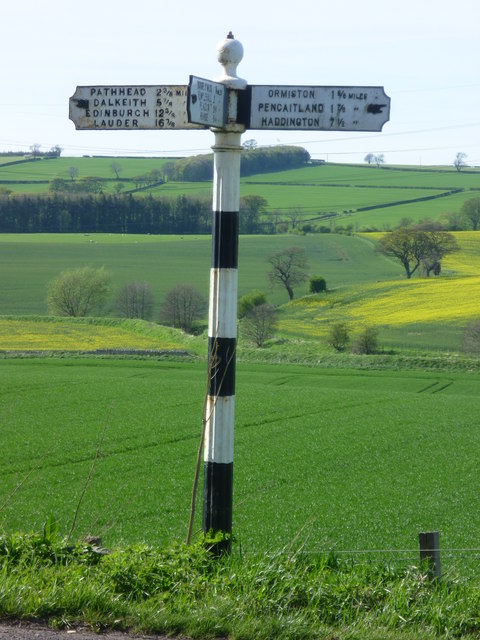
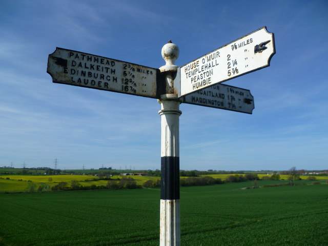
///snuck.plotting.florists. Near Ormiston, East Lothian

Related Wikis

Preston Hall, Midlothian

Preston Hall, or Prestonhall, is a late-18th-century mansion in Midlothian, to the south of Edinburgh, Scotland. It is located 1.5 kilometres (0.93 mi...

Ormiston Castle

Ormiston Castle is a ruined 16th-century tower house, about 4 miles (6.4 km) east of Dalkeith, East Lothian, Scotland, and north of Ormiston Mains.It was...

Oxenfoord Castle

Oxenfoord Castle is a country house in Midlothian, Scotland. It is located 1 kilometre (0.62 mi) north of Pathhead, Midlothian, and 6 kilometres (3.7 mi...

Ormiston Primrose F.C.

Ormiston Primrose Football Club is a senior football club based in Ormiston, East Lothian, currently competing in the East of Scotland League Second Division...

Cranston, Midlothian

Cranston is a parish of Midlothian, Scotland, lying 4+1⁄4 miles (6.8 kilometres) south-east of Dalkeith. It is bounded by the parishes of Inveresk and...

Ormiston

Ormiston is a village in East Lothian, Scotland, near Tranent, Humbie, Pencaitland and Cranston, located on the north bank of the River Tyne at an elevation...

Cousland Castle

Cousland Castle is a ruined castle near the town of Cousland, Midlothian, Scotland. == Structure == The 16th century ruins of the tower house and enclosure...

Cousland

Cousland is a village in Midlothian, Scotland. It is located 4 kilometres (2.5 mi) east of Dalkeith and 3 kilometres (1.9 mi) west of Ormiston, on a hill...

Related Videos

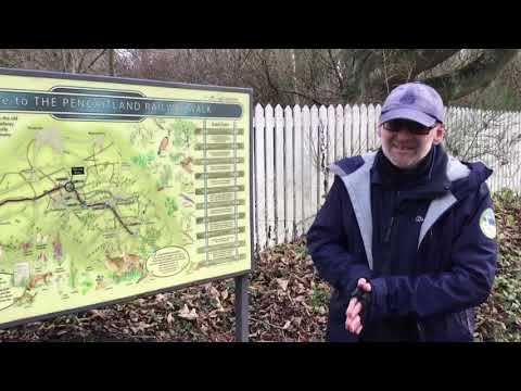
A walk along The Pencaitland Railway Walk - Part 1

Join Ranger Richard to discover some of the fascinating wildlife and history of the Pencaitland Railway Walk (two parts).

Laughing in the Rain: Exploring the Magical Preston Hall with Friendly Horses and Wild Deer

Join me on a heartwarming and hilarious adventure as we explore the stunning Preston Hall in Middlothian, Scotland.

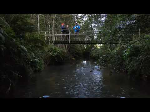
A walk along The Pencaitland Railway Walk - Part 2

Join Ranger Richard to discover some of the fascinating wildlife and history of the Pencaitland Railway Walk (two parts).

Nearby Amenities

Located within 500m of 55.892376,-2.9609324
Design: barrel
Power: tower
Lat/Long: 55.8947183/-2.9565255
Design: barrel
Power: tower
Lat/Long: 55.895324/-2.9552403
Power: pole
Lat/Long: 55.8939658/-2.9683851
Power: pole
Lat/Long: 55.8941048/-2.9671891
Power: pole
Lat/Long: 55.8942894/-2.965593
Power: pole
Lat/Long: 55.8944857/-2.9640114
Power: pole
Lat/Long: 55.8946797/-2.9623299
Power: pole
Lat/Long: 55.8948292/-2.9611276
Power: pole
Lat/Long: 55.8950547/-2.9608547
Power: pole
Lat/Long: 55.895633/-2.9609151
Power: pole
Lat/Long: 55.8956424/-2.9598649
Power: pole
Lat/Long: 55.8956447/-2.9588231
Power: pole
Lat/Long: 55.8956552/-2.9576458
Power: pole
Lat/Long: 55.8957031/-2.9565269
The data included in this document is from www.openstreetmap.org. The data is made available under ODbL.

Have you been to West Byres?

Leave your review of West Byres below (or comments, questions and feedback).