Byres, West

Settlement in East Lothian

Scotland

Byres, West

Road by Preston Mains Midlothian yellow road.
Road by Preston Mains Credit: Richard Webb

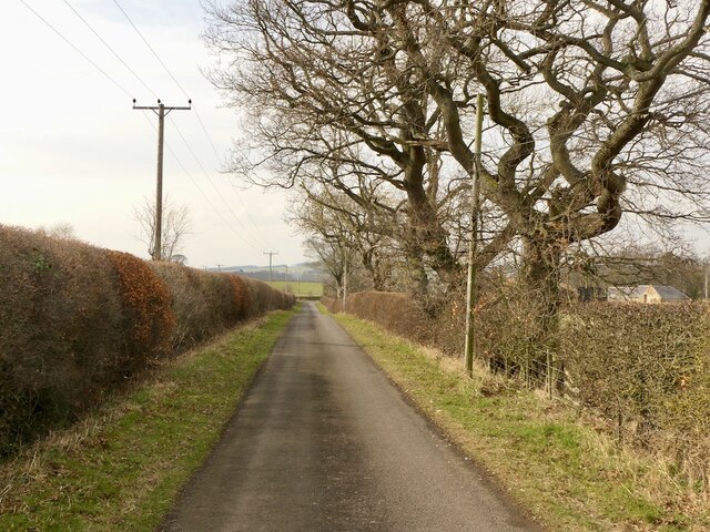
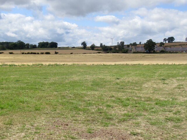
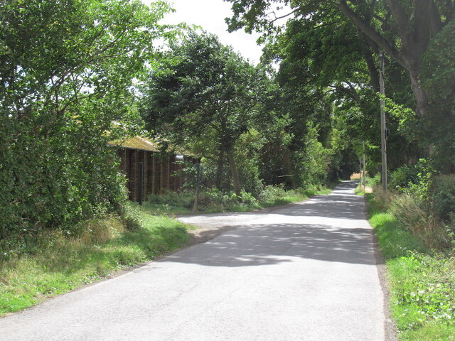
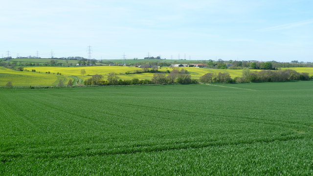
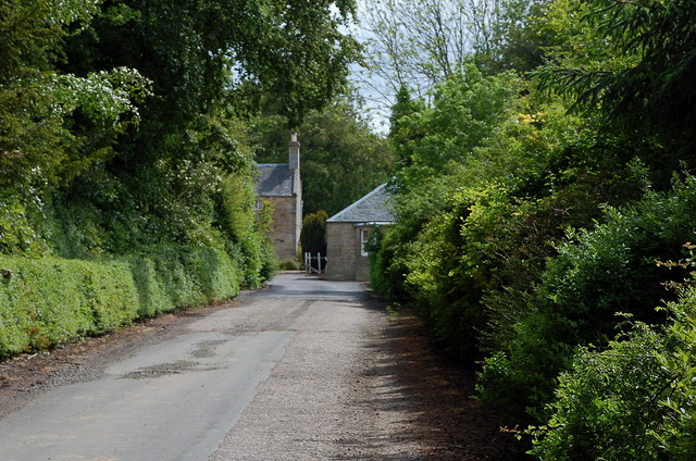
Byres is a small village located in West Lothian, East Lothian, Scotland. Situated just east of Edinburgh, Byres is known for its picturesque countryside and charming rural atmosphere. The village is nestled amidst rolling hills and farmland, providing a tranquil setting for residents and visitors alike.

Byres is home to a tight-knit community, with a population of approximately 400 people. The village offers a range of amenities to cater to its residents' needs, including a local shop, a primary school, and a community center. The community center serves as a hub for social activities and events, fostering a sense of community spirit within the village.

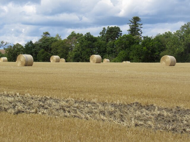
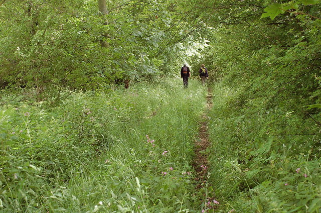
The surrounding countryside of Byres is a haven for outdoor enthusiasts, with plenty of scenic walking and cycling trails to explore. The nearby Lammermuir Hills and Pentland Hills offer breathtaking views and opportunities for hiking and wildlife spotting. Additionally, the village is within easy reach of several golf courses, providing golfing enthusiasts with a variety of options.

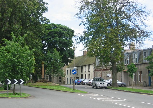
Byres's location also offers convenient access to the nearby town of Haddington, which provides a wider range of amenities such as supermarkets, shops, and restaurants. The city of Edinburgh is also easily accessible, offering residents the opportunity to enjoy the vibrant capital city's cultural attractions, shopping, and dining options.

Overall, Byres is a quaint village that combines the tranquility of rural living with convenient access to nearby towns and cities. Its beautiful countryside and strong sense of community make it an appealing place to call home.

If you have any feedback on the listing, please let us know in the comments section below.
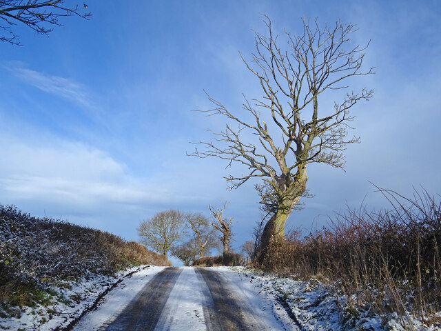
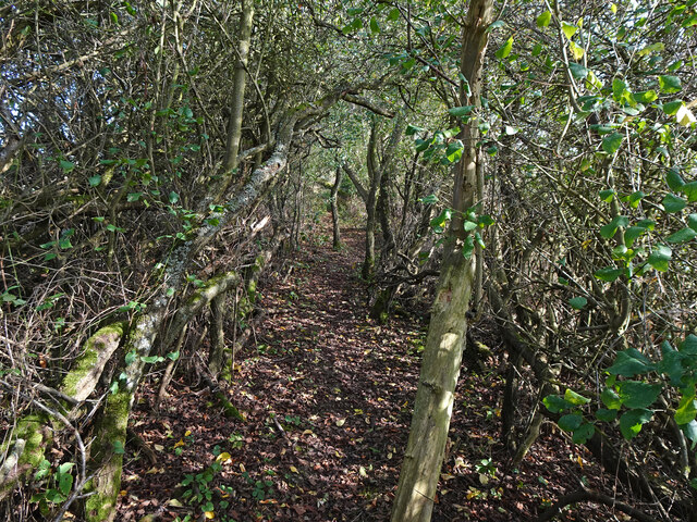
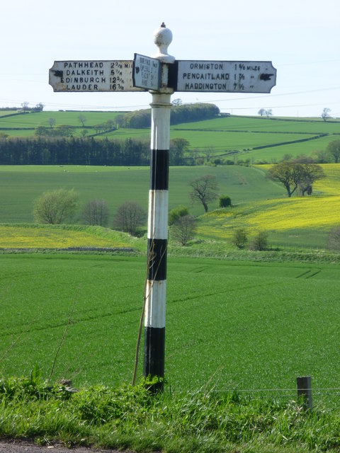
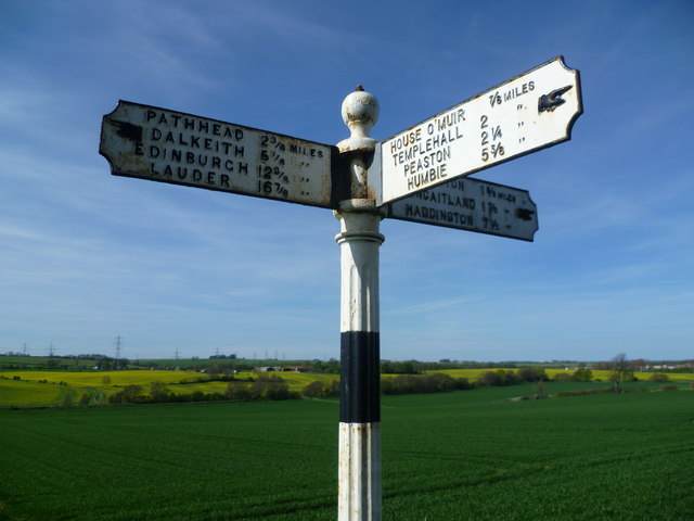
Byres, West Images

Images are sourced within 2km of 55.892376/-2.9609324 or Grid Reference NT4067. Thanks to Geograph Open Source API. All images are credited.

Road by Preston Mains Midlothian yellow road.
Road by Preston Mains
Midlothian yellow road.
Temporary road, The Murrays Work on the power line.
Temporary road, The Murrays
Work on the power line.
Power lines, The Murrays A complex arrangement of power lines one currently being refurbished.
Power lines, The Murrays
A complex arrangement of power lines one currently being refurbished.
Ormiston Mains
Ormiston Mains
Arable land, Airfield
Site of Airfield Sawmill Timber is still handled here but I suspect it is now some form of factory. The building on the left is marked as a colliery on old maps.
Site of Airfield Sawmill
Timber is still handled here but I suspect it is now some form of factory. The building on the left is marked as a colliery on old maps.
Round bales, Preston
Country Road in Winter On the minor road from Ormiston to Melvin Hall with frozen snow meaning this hill is a treacherous proposition even on foot! Skeletal tree also showing what time of year it is.
Summer picture here taken from about where the tree is.
<a title="https://www.geograph.org.uk/photo/4430206" href="https://www.geograph.org.uk/photo/4430206">Link</a>
Country Road in Winter
On the minor road from Ormiston to Melvin Hall with frozen snow meaning this hill is a treacherous proposition even on foot! Skeletal tree also showing what time of year it is. Summer picture here taken from about where the tree is. Link
Joe's Path Path through a tunnel of trees near Cousland named Joe's Path.
Joe's Path
Path through a tunnel of trees near Cousland named Joe's Path.
Old signpost on the A6093 Pathhead 2 3/8 miles
Dalkeith 5 7/8 miles
Edinburgh 12 3/8 miles
Lauder 16 7/8 miles
Ormiston 1 5/8 miles
Pencaitland 1 7/8 miles
Haddington 7 1/2 miles

I can certainly attest to the educational value of geograph, because I have learned from fellow geograph-er Richard West's contributions that this type of sign is known technically as a fingerpost.
Old signpost on the A6093
Pathhead 2 3/8 miles Dalkeith 5 7/8 miles Edinburgh 12 3/8 miles Lauder 16 7/8 miles Ormiston 1 5/8 miles Pencaitland 1 7/8 miles Haddington 7 1/2 miles I can certainly attest to the educational value of geograph, because I have learned from fellow geograph-er Richard West's contributions that this type of sign is known technically as a fingerpost.
Old signpost on the A6093 House O' Muir 7/8 miles
Templehall 2 miles
Peaston 2 1/4 miles
Humbie 5 3/8 miles
Old signpost on the A6093
House O' Muir 7/8 miles Templehall 2 miles Peaston 2 1/4 miles Humbie 5 3/8 miles
View near West Byres
Overgrown track near Preston Hall Summer growth trying its best to obscure the track leading to the B6367 at the N boundary of the estate.
Overgrown track near Preston Hall
Summer growth trying its best to obscure the track leading to the B6367 at the N boundary of the estate.
Gates north of Preston Hall Estate gates at a now disused entrance with the sadly inevitable fringe of dumped rubbish.
Gates north of Preston Hall
Estate gates at a now disused entrance with the sadly inevitable fringe of dumped rubbish.
East Lothian boundary sign, B6367 The wording on the sign reads:

Welcome to
East Lothian

Birthplace of Scotland's Flag  832 AD

in reference to the Battle of Athelstaneford between a force of Picts and Scots and a Northumbrian army - see <a href="https://www.geograph.org.uk/photo/817671">NT5377 : The Saltire, National Flag of Scotland</a>.
East Lothian boundary sign, B6367
The wording on the sign reads: Welcome to East Lothian Birthplace of Scotland's Flag 832 AD in reference to the Battle of Athelstaneford between a force of Picts and Scots and a Northumbrian army - see NT5377 : The Saltire, National Flag of Scotland.
Road to Rose Mains A farm access road from the B6367.
Road to Rose Mains
A farm access road from the B6367.
Ducking under Power lines crossing at The Murrays. The profusion is due to the addition of Torness power station in the 1980s, there is a line running down off the Lammermuir Hills.

The Murrays is one of only two dairy farms in East Lothian. Yester <a href="https://www.geograph.org.uk/photo/712536">NT5366 : Yester Mains</a> is famous, but it has taken me a while to find the other one.
Ducking under
Power lines crossing at The Murrays. The profusion is due to the addition of Torness power station in the 1980s, there is a line running down off the Lammermuir Hills. The Murrays is one of only two dairy farms in East Lothian. Yester NT5366 : Yester Mains is famous, but it has taken me a while to find the other one.
Cemetery, Ormiston Some distance from modern Ormiston.
Cemetery, Ormiston
Some distance from modern Ormiston.
Show me another place!

Byres, West is located at Grid Ref: NT4067 (Lat: 55.892376, Lng: -2.9609324)

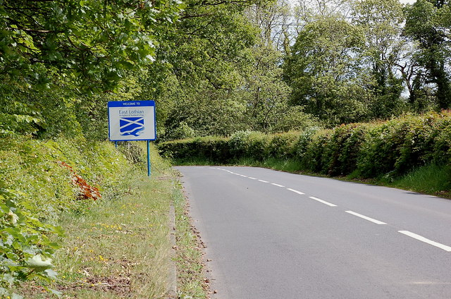
Unitary Authority: East Lothian

Police Authority: The Lothians and Scottish Borders

What 3 Words

///snuck.plotting.florists. Near Ormiston, East Lothian

Related Wikis

Preston Hall, Midlothian

Preston Hall, or Prestonhall, is a late-18th-century mansion in Midlothian, to the south of Edinburgh, Scotland. It is located 1.5 kilometres (0.93 mi...

Ormiston Castle

Ormiston Castle is a ruined 16th-century tower house, about 4 miles (6.4 km) east of Dalkeith, East Lothian, Scotland, and north of Ormiston Mains.It was...

Oxenfoord Castle

Oxenfoord Castle is a country house in Midlothian, Scotland. It is located 1 kilometre (0.62 mi) north of Pathhead, Midlothian, and 6 kilometres (3.7 mi...

Ormiston Primrose F.C.

Ormiston Primrose Football Club is a senior football club based in Ormiston, East Lothian, currently competing in the East of Scotland League Second Division...

Cranston, Midlothian

Cranston is a parish of Midlothian, Scotland, lying 4+1⁄4 miles (6.8 kilometres) south-east of Dalkeith. It is bounded by the parishes of Inveresk and...

Ormiston

Ormiston is a village in East Lothian, Scotland, near Tranent, Humbie, Pencaitland and Cranston, located on the north bank of the River Tyne at an elevation...

Cousland Castle

Cousland Castle is a ruined castle near the town of Cousland, Midlothian, Scotland. == Structure == The 16th century ruins of the tower house and enclosure...

Cousland

Cousland is a village in Midlothian, Scotland. It is located 4 kilometres (2.5 mi) east of Dalkeith and 3 kilometres (1.9 mi) west of Ormiston, on a hill...

Nearby Amenities

Located within 500m of 55.892376,-2.9609324
Design: barrel
Power: tower
Lat/Long: 55.8947183/-2.9565255
Design: barrel
Power: tower
Lat/Long: 55.895324/-2.9552403
Power: pole
Lat/Long: 55.8939658/-2.9683851
Power: pole
Lat/Long: 55.8941048/-2.9671891
Power: pole
Lat/Long: 55.8942894/-2.965593
Power: pole
Lat/Long: 55.8944857/-2.9640114
Power: pole
Lat/Long: 55.8946797/-2.9623299
Power: pole
Lat/Long: 55.8948292/-2.9611276
Power: pole
Lat/Long: 55.8950547/-2.9608547
Power: pole
Lat/Long: 55.895633/-2.9609151
Power: pole
Lat/Long: 55.8956424/-2.9598649
Power: pole
Lat/Long: 55.8956447/-2.9588231
Power: pole
Lat/Long: 55.8956552/-2.9576458
Power: pole
Lat/Long: 55.8957031/-2.9565269
The data included in this document is from www.openstreetmap.org. The data is made available under ODbL.

Have you been to Byres, West?

Leave your review of Byres, West below (or comments, questions and feedback).