West Byfleet
Settlement in Surrey Woking
England
West Byfleet
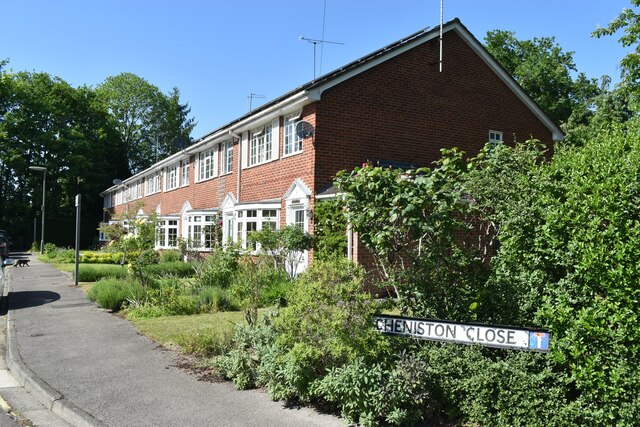
West Byfleet is a small suburban town located in the borough of Woking, Surrey, England. Situated approximately 22 miles southwest of central London, it is nestled between the larger towns of Woking and Addlestone. The town is primarily residential, attracting families and commuters seeking a quieter and more peaceful environment outside the bustling city.
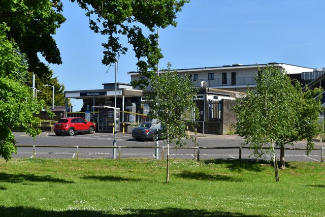
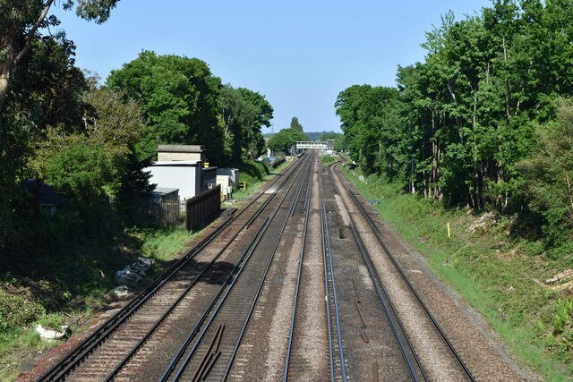
West Byfleet is known for its excellent transport links, making it an ideal location for those who travel frequently. The town is served by the West Byfleet railway station, which offers regular train services to London Waterloo, with a journey time of approximately 30 minutes. Additionally, it benefits from good road connections, with the nearby M25 motorway providing easy access to other parts of the country.
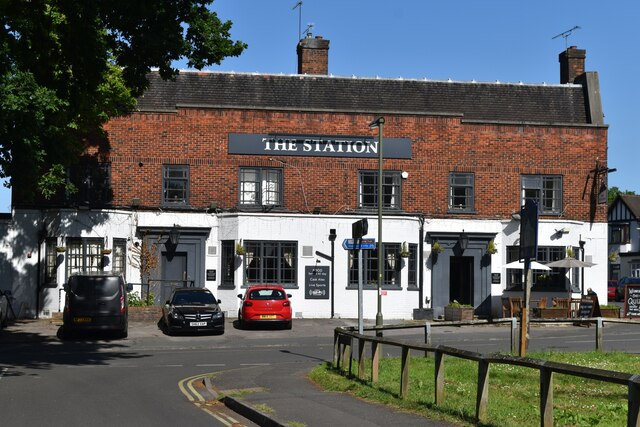
Despite its relatively small size, West Byfleet offers a variety of amenities and facilities to its residents. The town center is home to a range of shops, including both independent retailers and well-known chain stores, catering to the daily needs of locals. There are also several pubs, cafes, and restaurants, providing plenty of options for dining out or socializing.
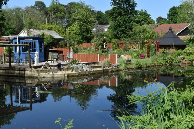
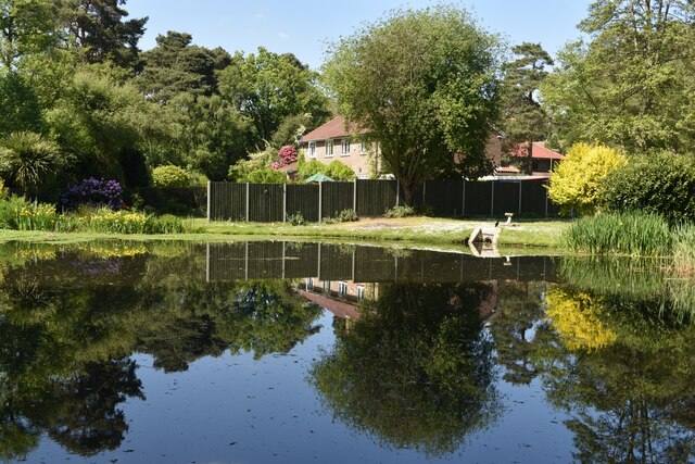
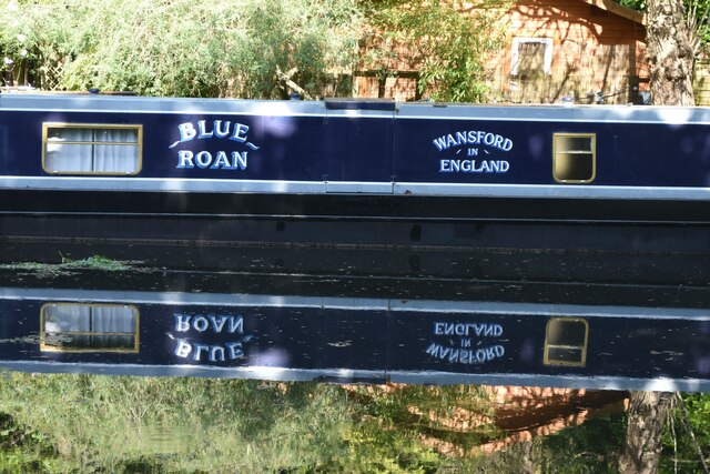
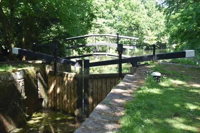
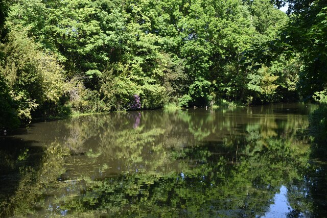
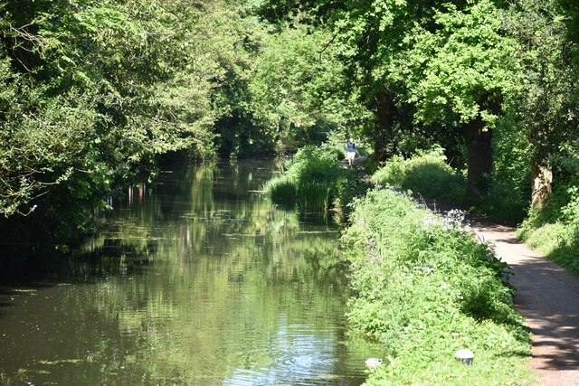
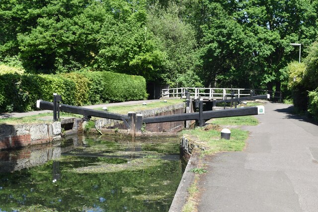
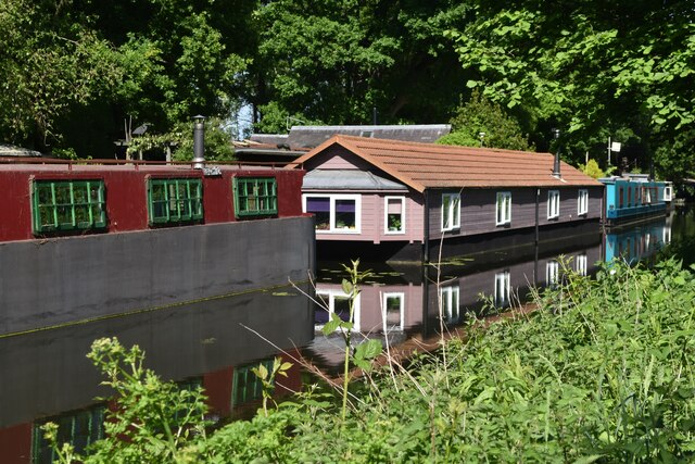
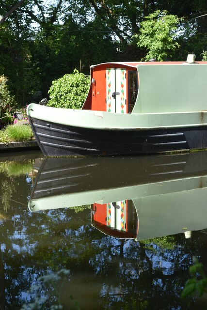
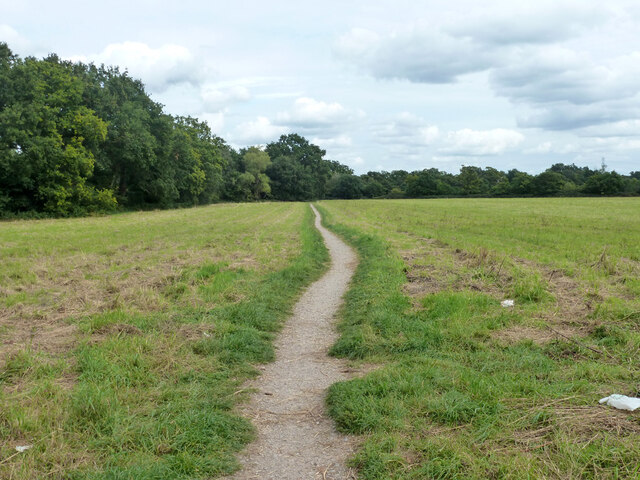
Nature lovers can enjoy the nearby Byfleet and New Haw Commons, offering picturesque walking trails and green spaces for recreational activities. The town also boasts a golf club, providing opportunities for golf enthusiasts to practice their swing.
Overall, West Byfleet offers a tranquil and convenient location, appealing to those seeking a suburban lifestyle with easy access to both London and the surrounding countryside.
If you have any feedback on the listing, please let us know in the comments section below.
West Byfleet Images
Images are sourced within 2km of 51.337413/-0.50448175 or Grid Reference TQ0460. Thanks to Geograph Open Source API. All images are credited.

West Byfleet is located at Grid Ref: TQ0460 (Lat: 51.337413, Lng: -0.50448175)
Administrative County: Surrey
District: Woking
Police Authority: Surrey
What 3 Words
///stump.pouch.award. Near West Byfleet, Surrey
Nearby Locations
Related Wikis

West Byfleet
West Byfleet is a village in Surrey which grew up around its relatively minor stop on the London & South Western Railway: the station, originally Byfleet...

West Byfleet railway station
West Byfleet railway station is a railway station serving the village of West Byfleet, which forms part of the borough of Woking in the English county...

Fullbrook School
Fullbrook School is a secondary school and sixth form in north west Surrey, England. The school has held Specialist Science, Technology, Mathematics and...
Woodham, Surrey
Woodham is a suburban village in Surrey next to New Haw and contiguous with two suburbs of Woking: Sheerwater and West Byfleet. == Amenities == === Pubs... ===
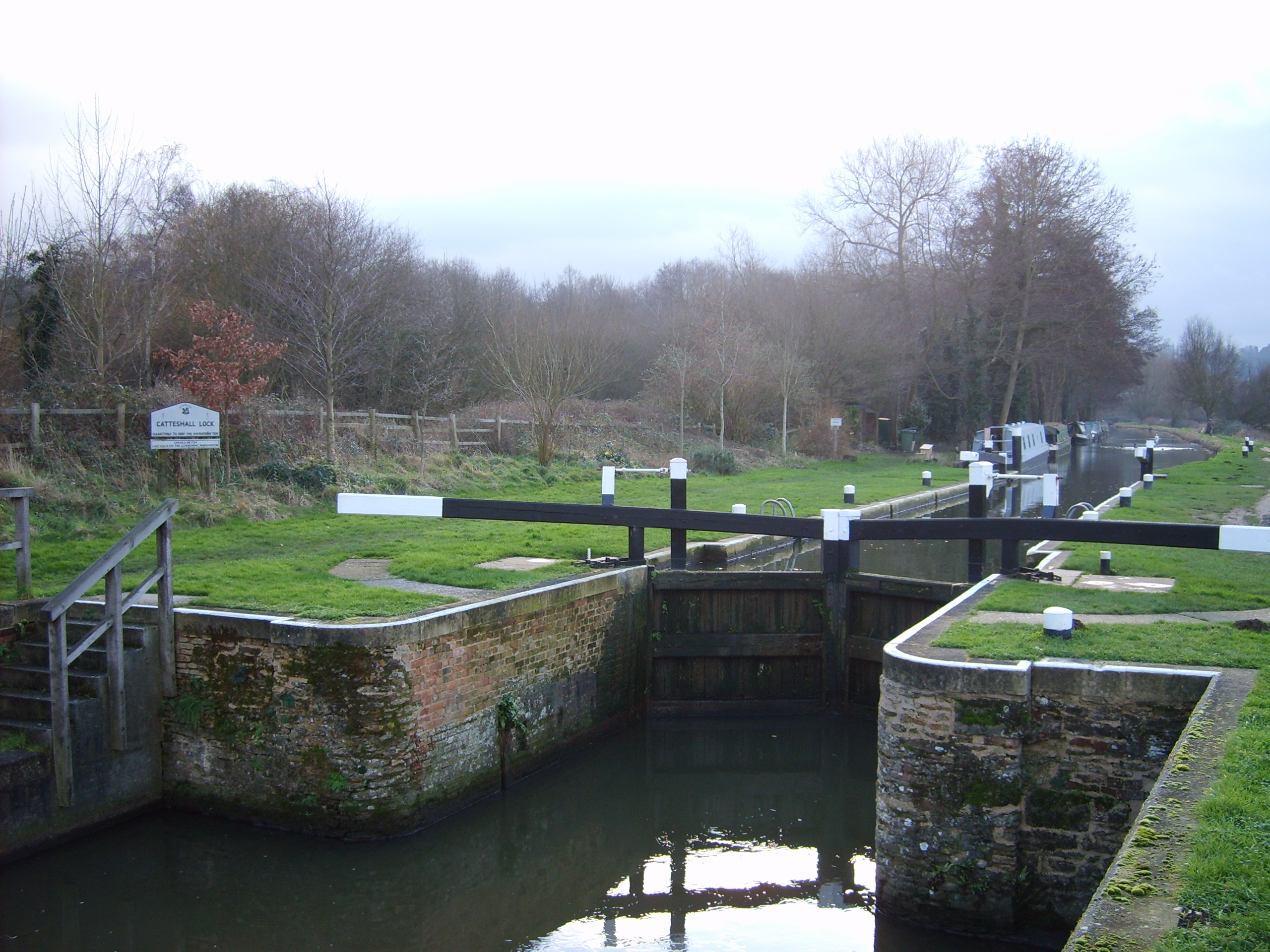
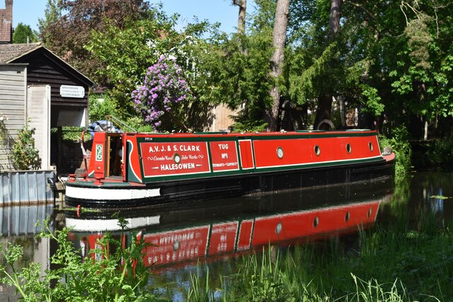
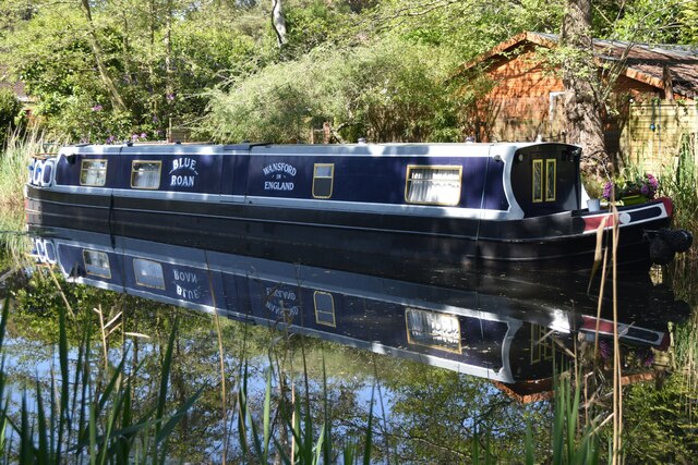
Wey and Godalming Navigations
The River Wey Navigation and Godalming Navigation together provide a 20-mile (32 km) continuous navigable route from the River Thames near Weybridge via...
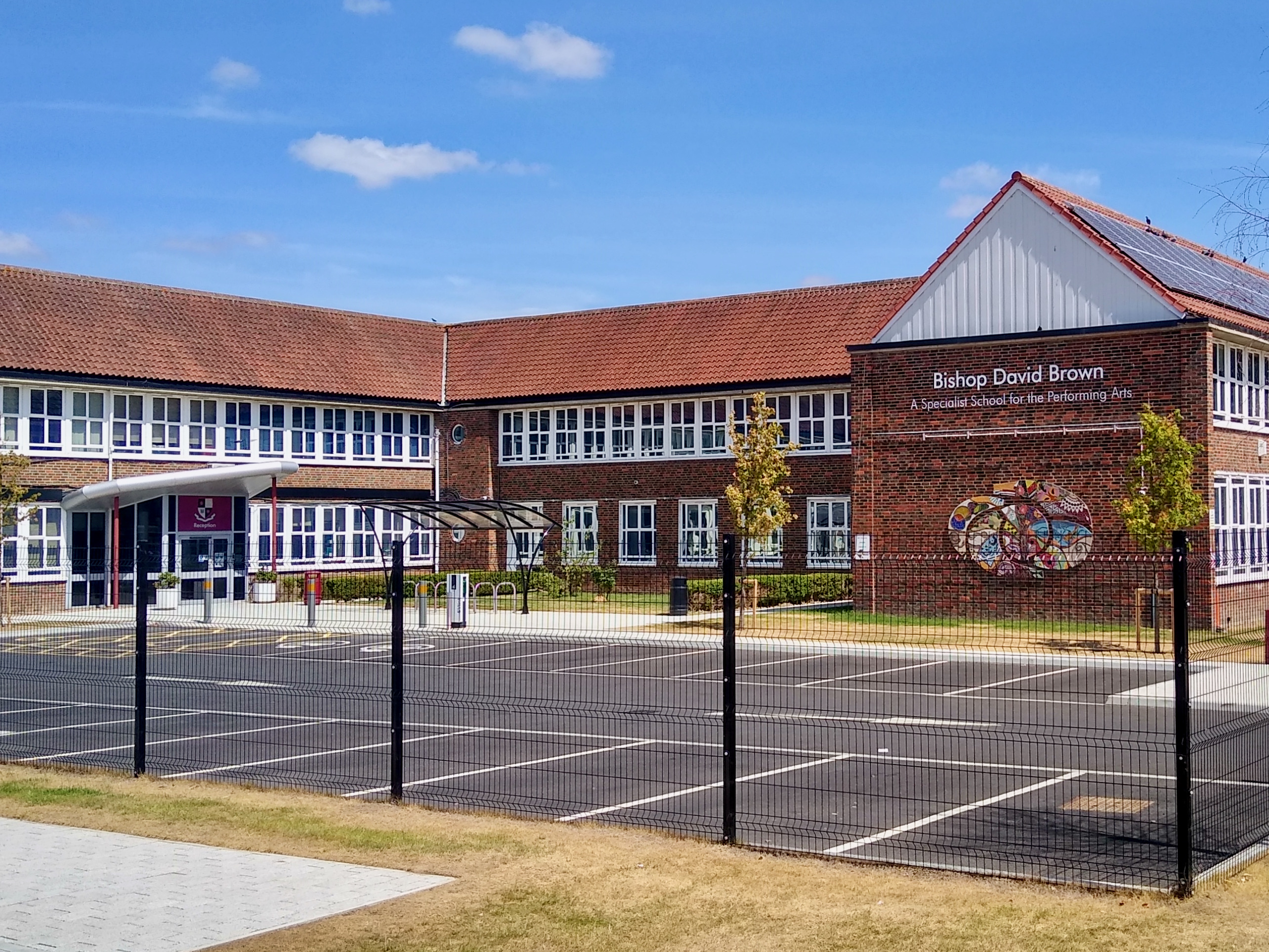
Bishop David Brown School
The Bishop David Brown School is a mixed academy status secondary school located in Sheerwater, (Woking), Surrey, England. == History == Formerly the Sheerwater...
Sheerwater F.C.
Sheerwater F.C. are a Non-League football club who are based in Sheerwater, in Woking, Surrey, England. They play their home fixtures at the Eastwood Centre...
British Aerospace Company Ground
British Aerospace Company Ground was a cricket ground in Byfleet, Surrey. The ground was built as a works venue for the nearby Vickers-Armstrongs factory...
Nearby Amenities
Located within 500m of 51.337413,-0.50448175Have you been to West Byfleet?
Leave your review of West Byfleet below (or comments, questions and feedback).