Dodd's Wood
Wood, Forest in Surrey Woking
England
Dodd's Wood
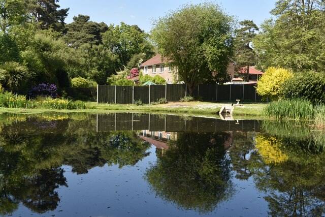
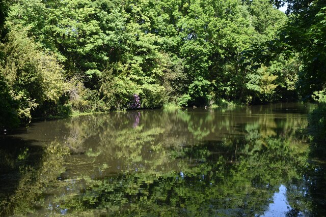
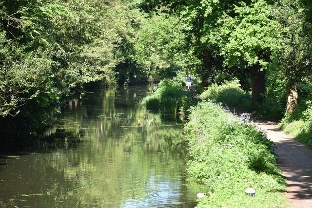
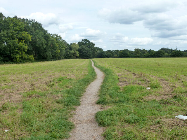
Dodd's Wood is a picturesque woodland located in the county of Surrey, England. Situated in the heart of the Surrey Hills Area of Outstanding Natural Beauty, this ancient forest covers an area of approximately 100 acres. It is known for its diverse range of flora and fauna, making it a popular spot for nature enthusiasts and hikers.
The woodland is predominantly composed of deciduous trees, including oak, beech, and birch, which create a stunning canopy during the summer months. Visitors can enjoy leisurely walks along the well-maintained trails that crisscross the woods, offering glimpses of wildflowers, ferns, and mosses that thrive in this enchanting environment.
Dodd's Wood is home to a variety of wildlife species, providing a haven for both common and rare animals. Birdwatchers may spot blue tits, great tits, and nuthatches among the tree branches, while the hooting of tawny owls can be heard during the evenings. Squirrels playfully scamper through the canopy, and if lucky, visitors may even catch a glimpse of a timid deer or a fox.
The wood is open to the public throughout the year, and there are picnic areas and benches available for those who wish to relax and take in the tranquil surroundings. The wood is managed by the local authorities, ensuring its preservation and protection for future generations to enjoy.
Overall, Dodd's Wood in Surrey is a natural gem, offering a serene escape from the hustle and bustle of everyday life. Its beauty and biodiversity make it a must-visit destination for anyone seeking a peaceful retreat in the heart of nature.
If you have any feedback on the listing, please let us know in the comments section below.
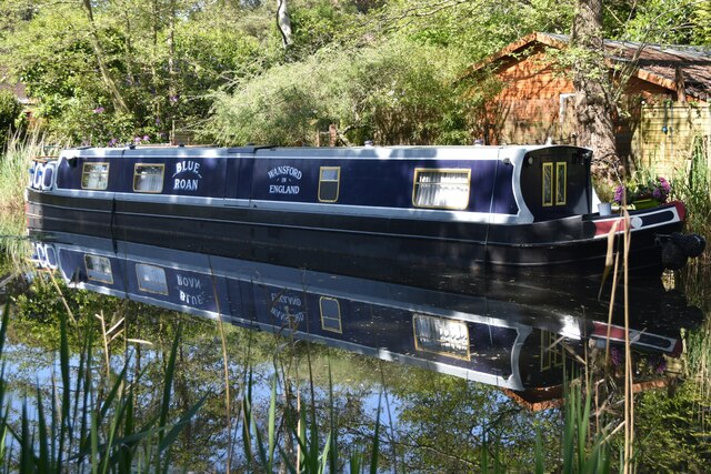
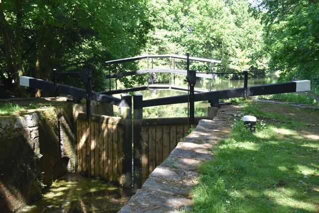
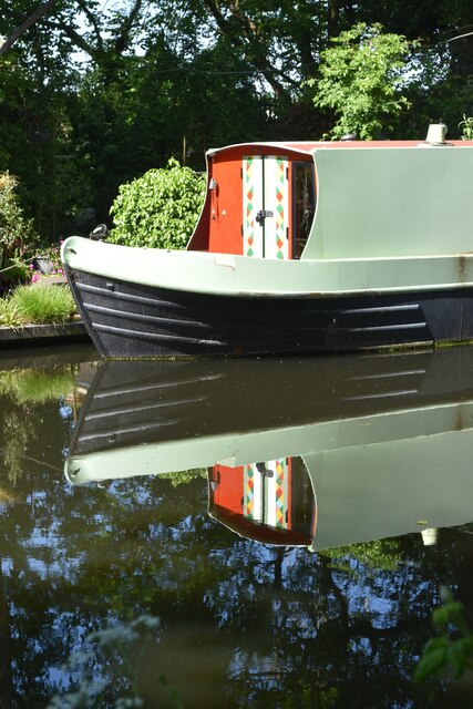
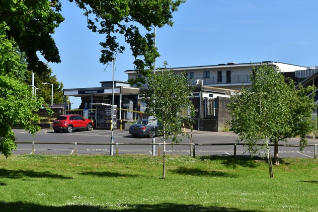
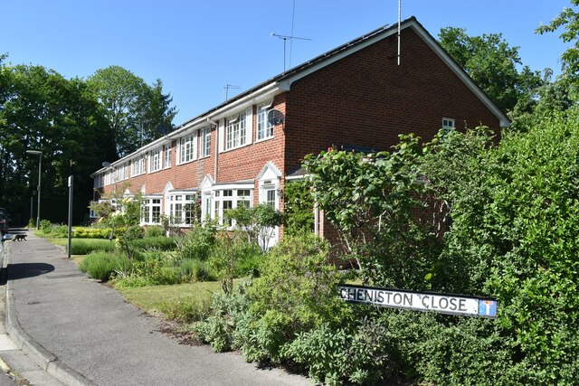
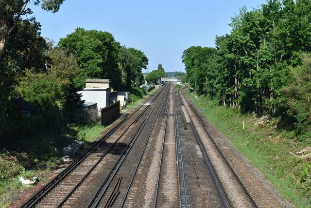
Dodd's Wood Images
Images are sourced within 2km of 51.334311/-0.49472061 or Grid Reference TQ0460. Thanks to Geograph Open Source API. All images are credited.


Dodd's Wood is located at Grid Ref: TQ0460 (Lat: 51.334311, Lng: -0.49472061)
Administrative County: Surrey
District: Woking
Police Authority: Surrey
What 3 Words
///jokes.wings.tens. Near West Byfleet, Surrey
Nearby Locations
Related Wikis
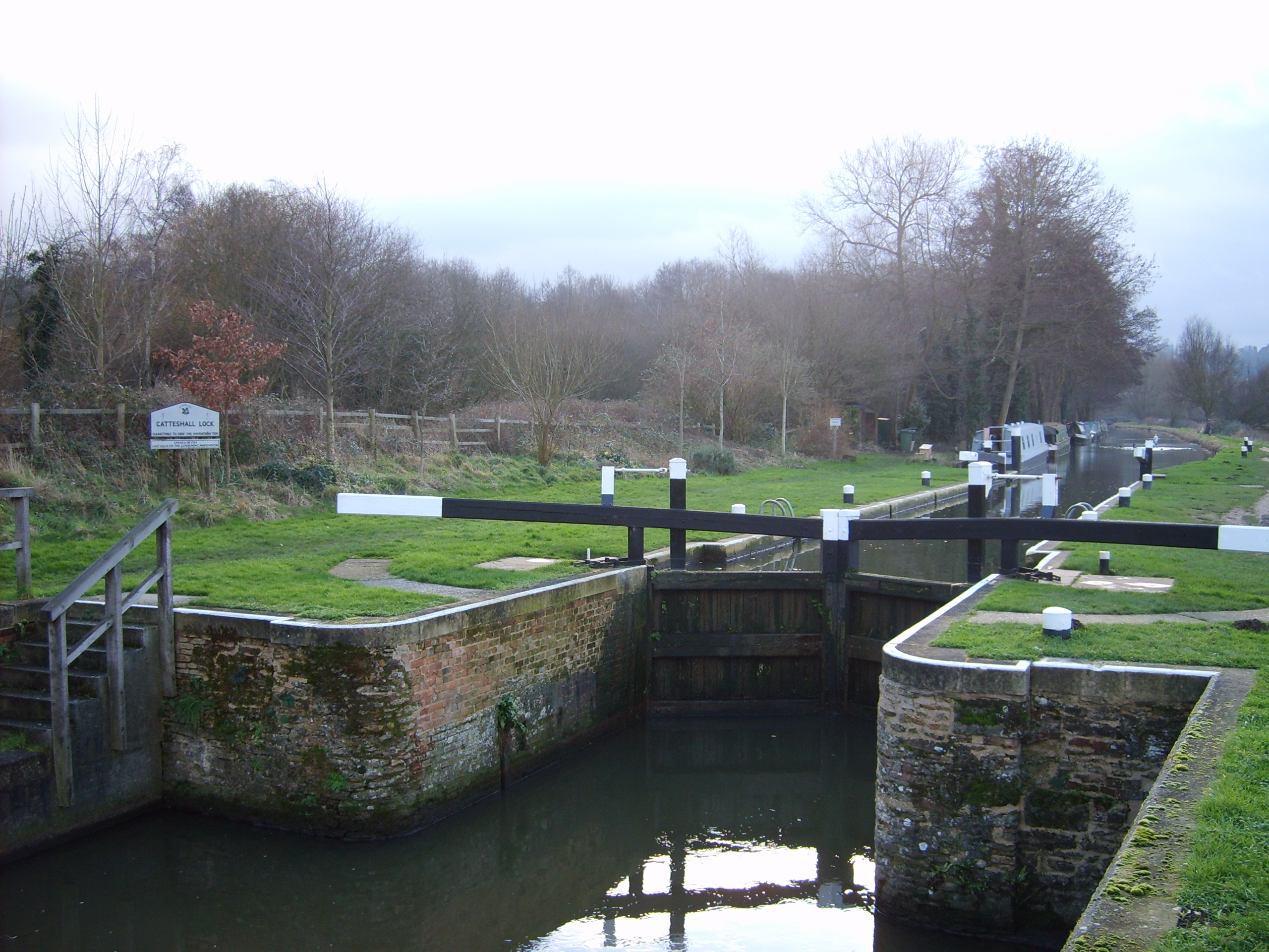
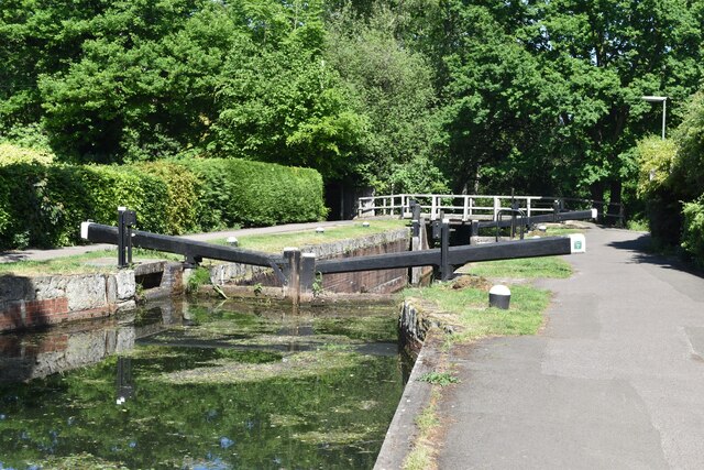
Wey and Godalming Navigations
The River Wey Navigation and Godalming Navigation together provide a 20-mile (32 km) continuous navigable route from the River Thames near Weybridge via...

West Byfleet
West Byfleet is a village in Surrey which grew up around its relatively minor stop on the London & South Western Railway: the station, originally Byfleet...

West Byfleet railway station
West Byfleet railway station is a railway station serving the village of West Byfleet, which forms part of the borough of Woking in the English county...

Dane Court, Pyrford
Dane Court was an independent boarding and day preparatory school for boys aged 4 to 13 which was based at several sites in its 114 year history, but principally...

British Aerospace Company Ground
British Aerospace Company Ground was a cricket ground in Byfleet, Surrey. The ground was built as a works venue for the nearby Vickers-Armstrongs factory...
Fullbrook School
Fullbrook School is a secondary school and sixth form in north west Surrey, England. The school has held Specialist Science, Technology, Mathematics and...
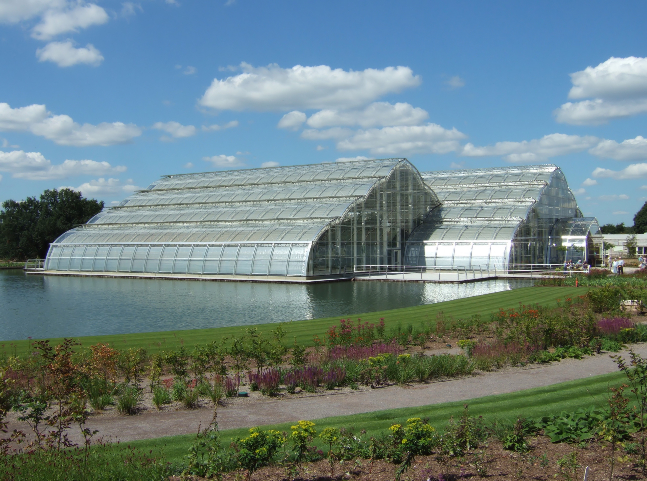
Wisley
Wisley is a village and civil parish in Surrey, England between Cobham and Woking, in the Borough of Guildford. It is the home of the Royal Horticultural...
Woodham, Surrey
Woodham is a suburban village in Surrey next to New Haw and contiguous with two suburbs of Woking: Sheerwater and West Byfleet. == Amenities == === Pubs... ===
Nearby Amenities
Located within 500m of 51.334311,-0.49472061Have you been to Dodd's Wood?
Leave your review of Dodd's Wood below (or comments, questions and feedback).